Monday, August 12, 2024
We started off by leaving Westminster, Colorado after spending the night at our friend’s house. We took route 6 to bypass some of I-70 after spending a lot of time on the highway.
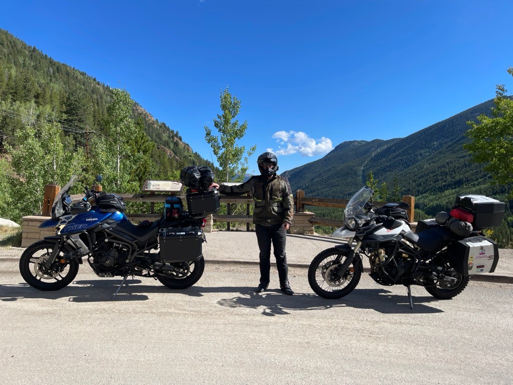
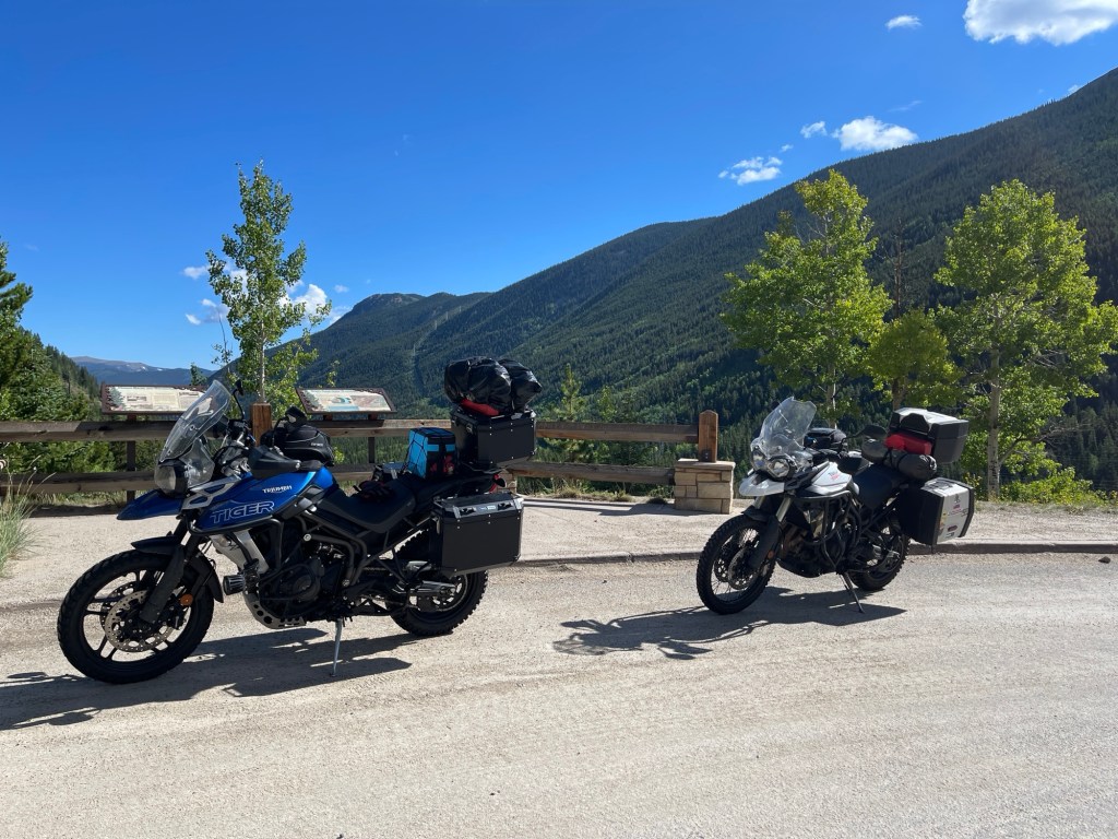
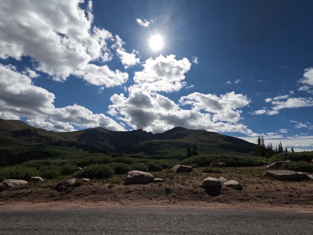
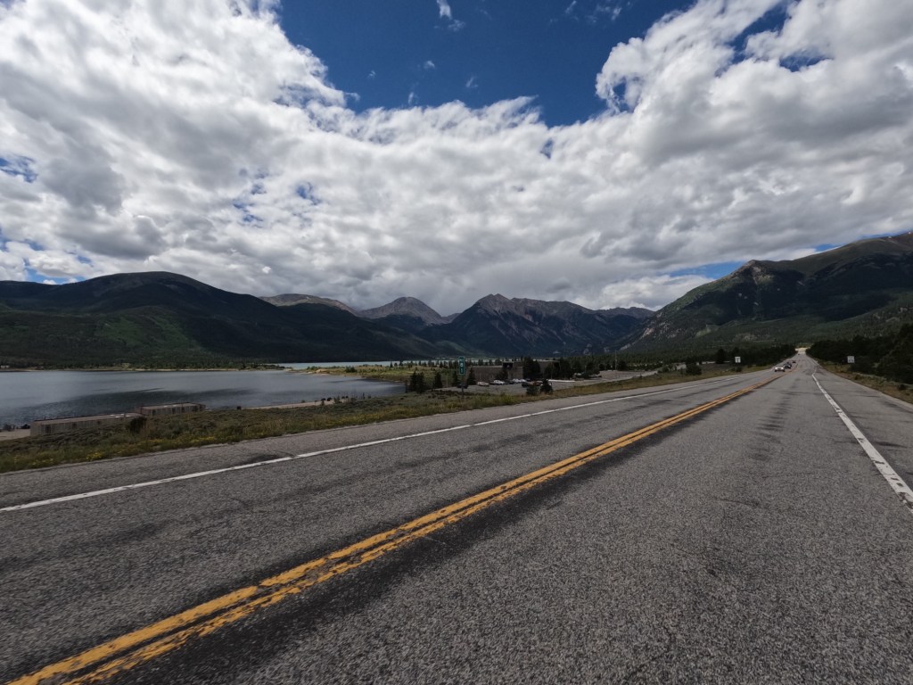
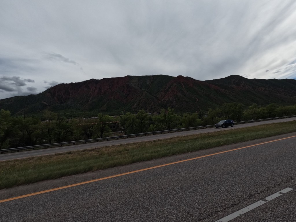
We got onto I-70 in Idaho Springs and got right back off to get gas and some breakfast. We also wanted electrolytes because of the elevation. We were originally planning on taking I-70 all the way to Independence Pass, but decided to hop off in Georgetown to take Guanella Pass, route 381. It was a nice surprise considering I just selected “avoid highways” on Google maps. There were some really beautiful views of the mountains so we stopped a few times. And the temperature reached 50° as we climbed the mountains.

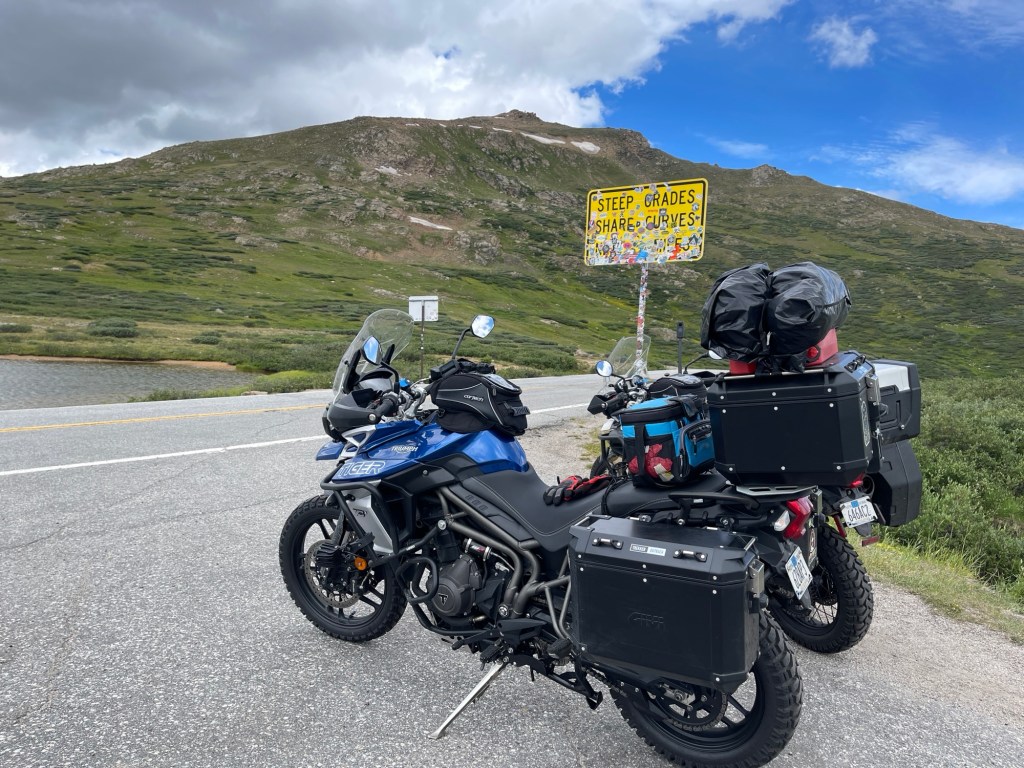
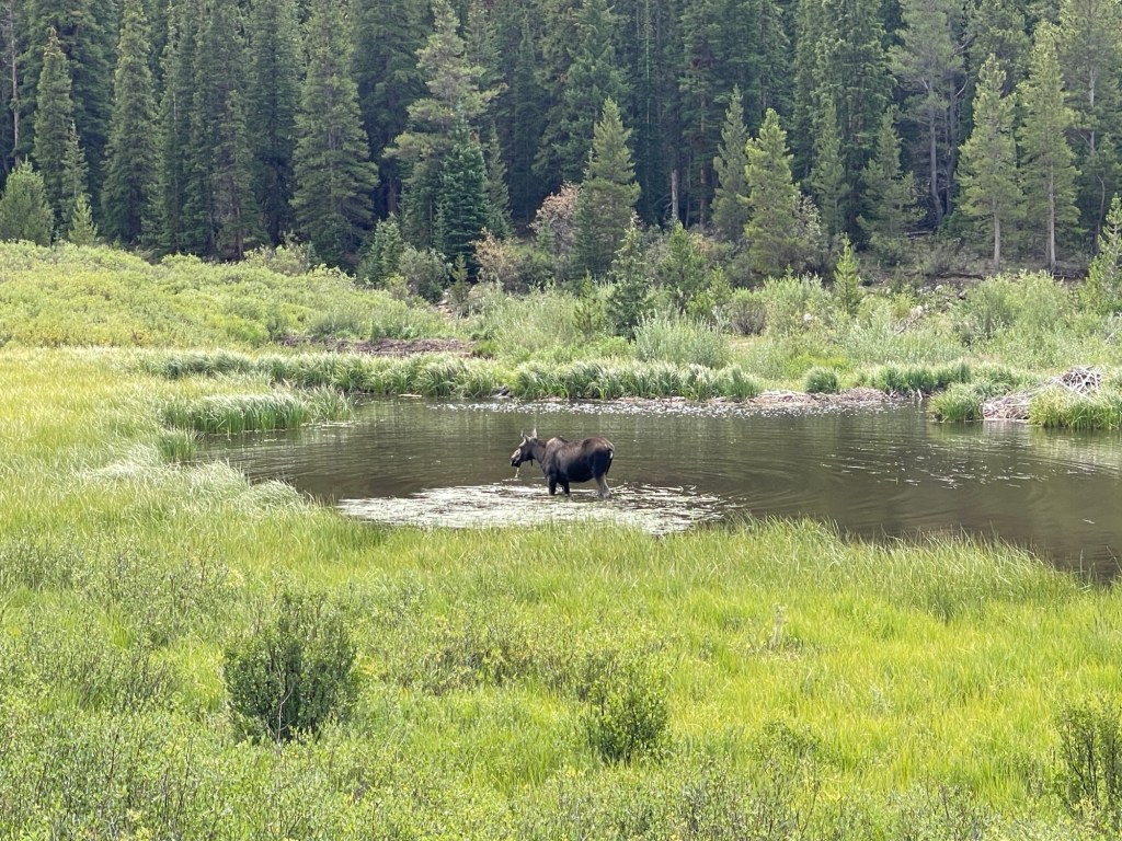
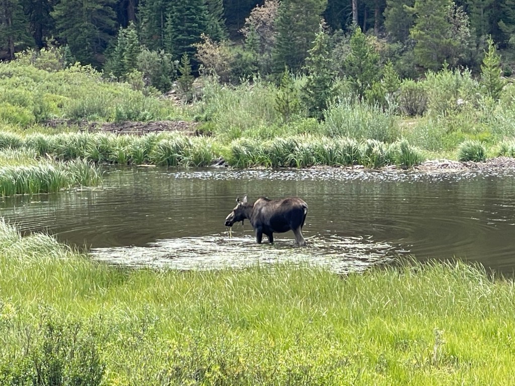
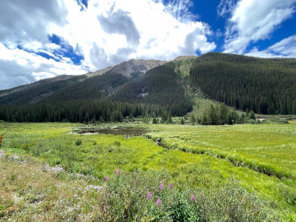
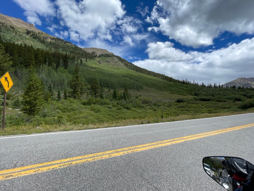
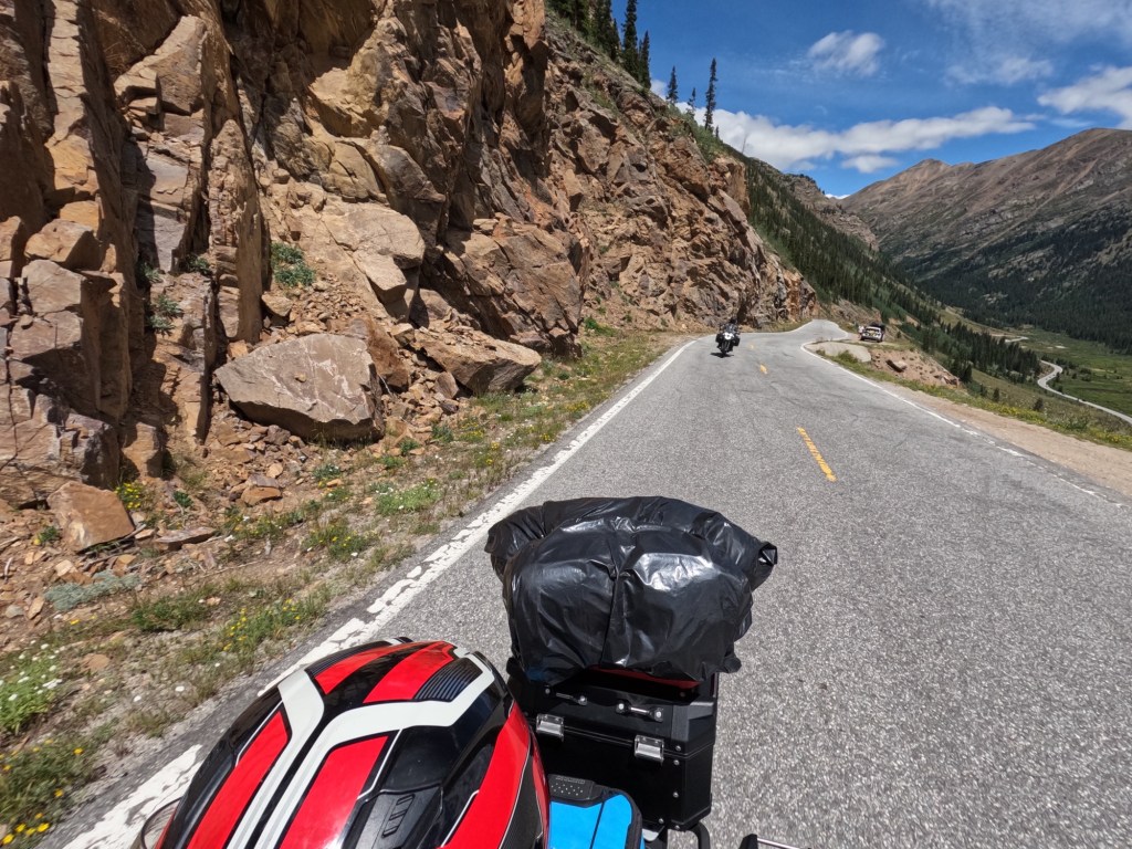
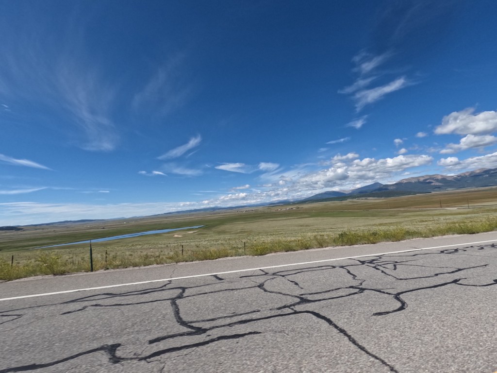
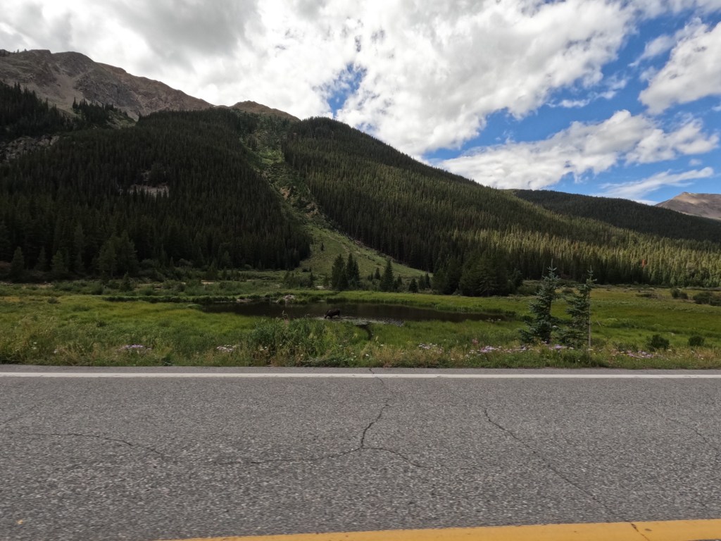
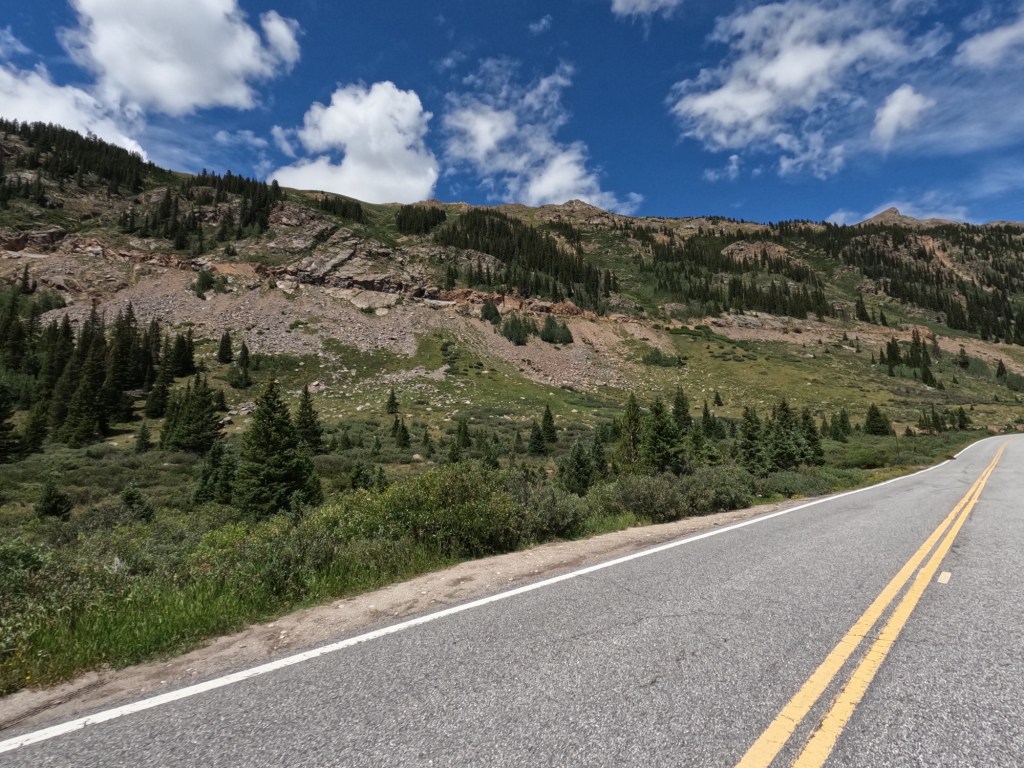
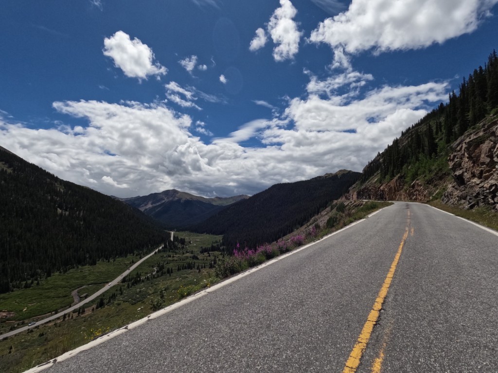
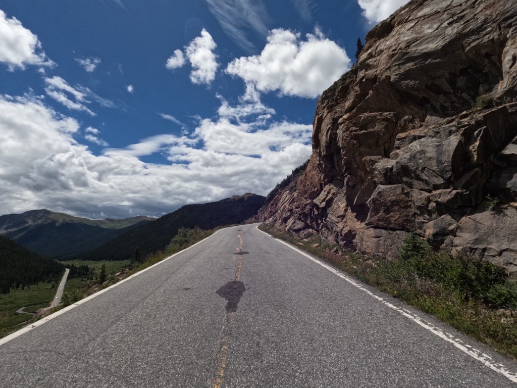
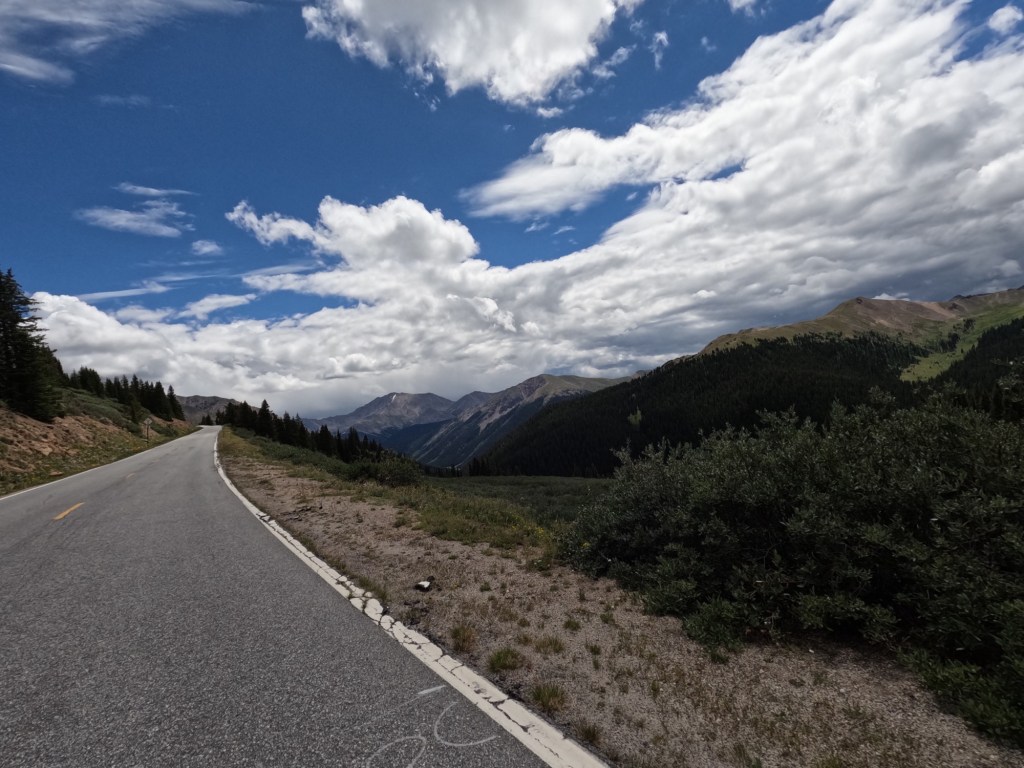
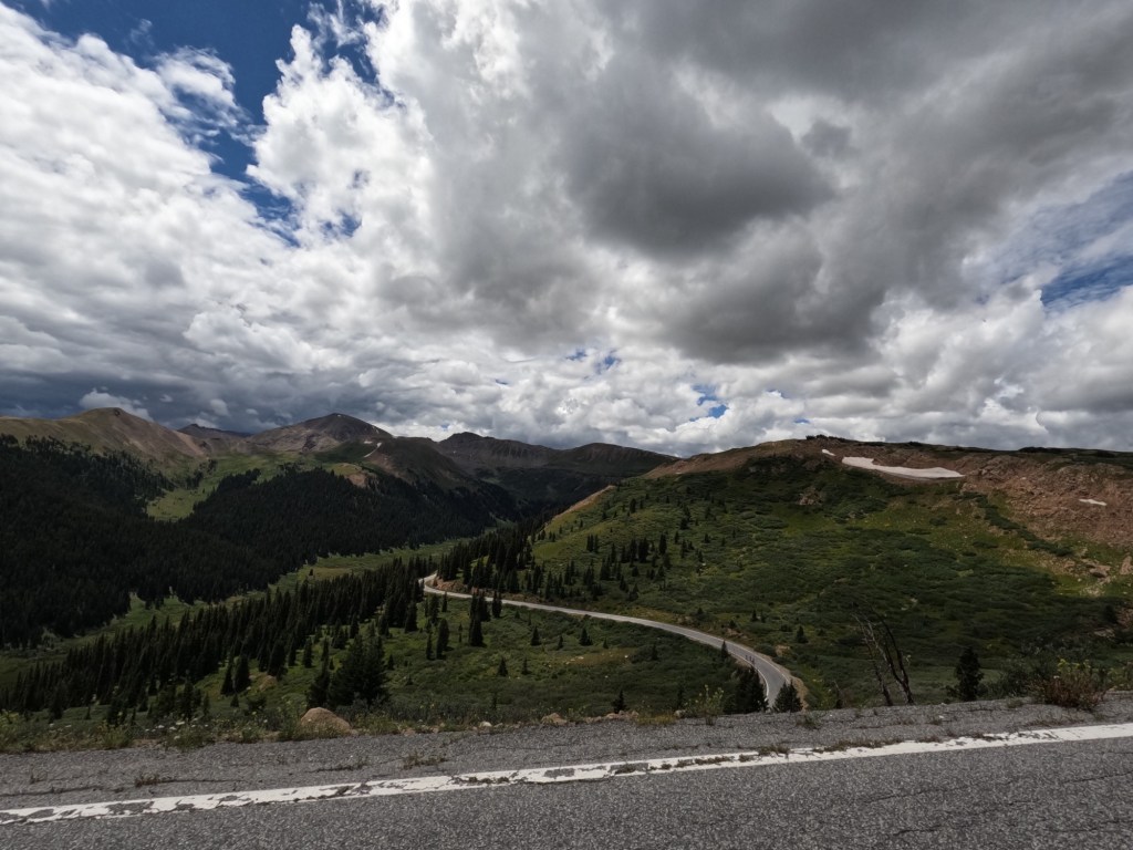
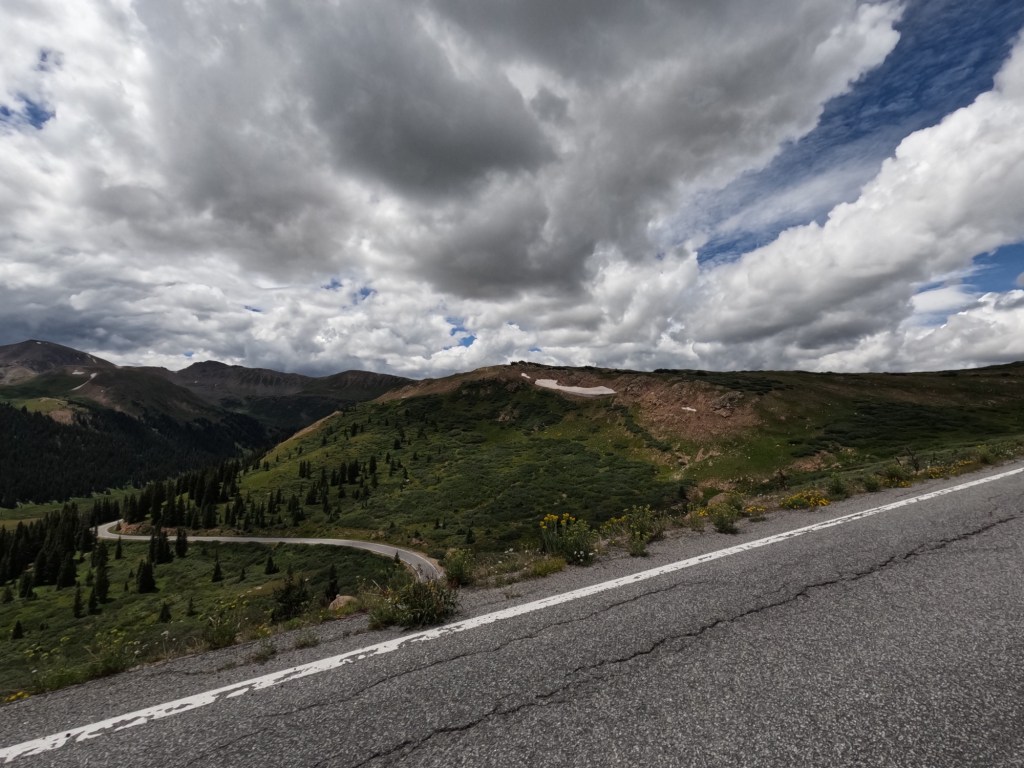
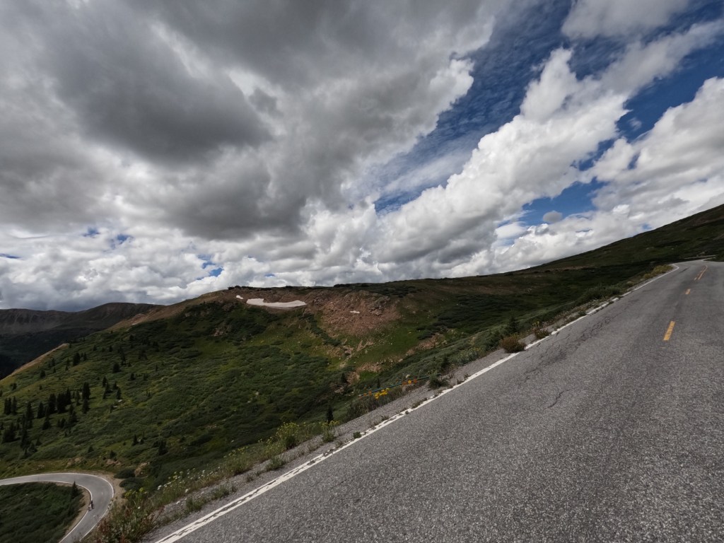
We continued until we reached Route 285 and took that southwest. until we got to Buena Vista, then headed north until we got to Route 82, which goes up and over Independence Pass. This pass is the second highest paved pass in Colorado. Shortly after getting onto Route 82, I was looking around and noticed a moose in a pond chomping down on plants. I told Eddie over the Cardo system, but he thought I was messing with him. But I wasn’t! 😂 So, we turned around got some photos. I still have never seen a bull moose. Hopefully one day!

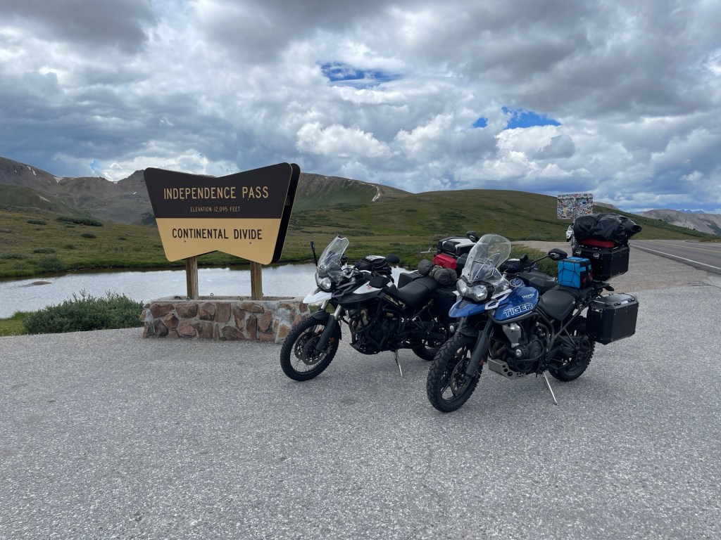
After taking some photos, we were in our way to the summit. At the top there is a sign so we stopped for a couple photos and headed back down. The west side of the pass is Aspen. We arrived in Aspen and fueled up and then decided to stop for food.

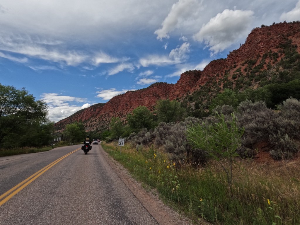
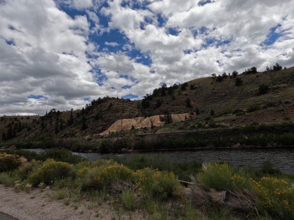
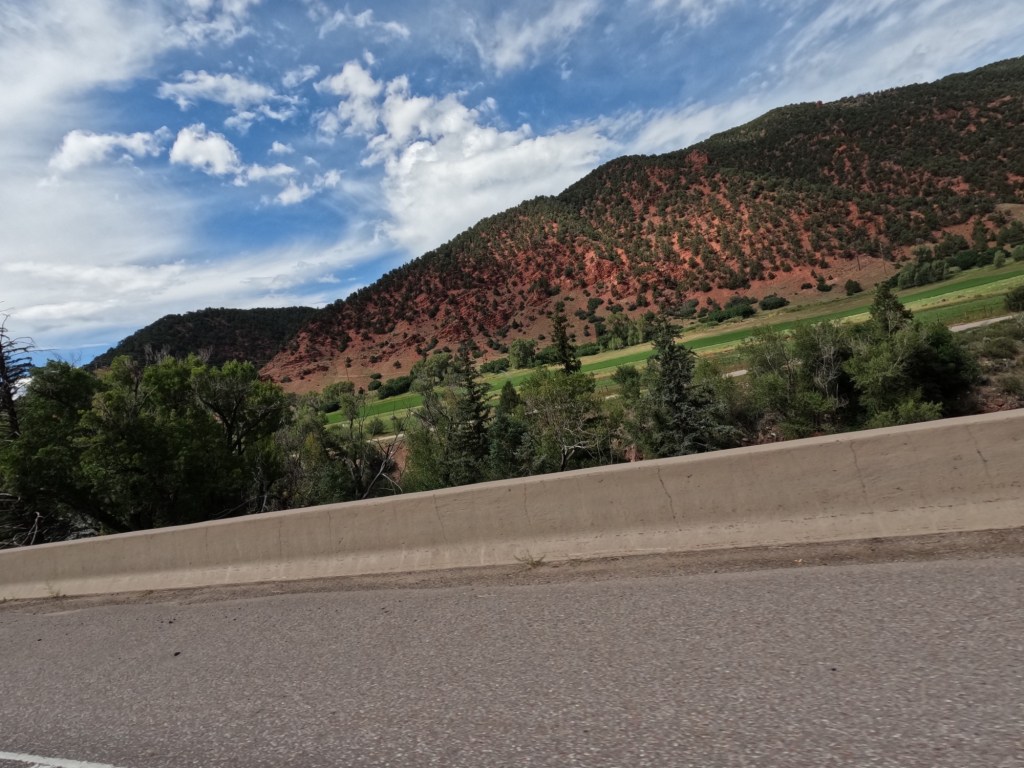
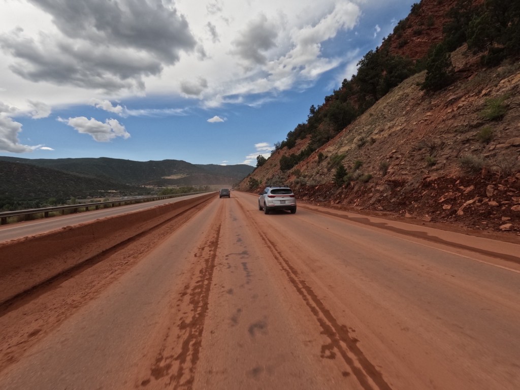
We left Aspen and headed straight to Moab. We continued on Colorado State Route 82 until we reached I-70. There were some areas of the road on 82 that were very dirty from recent flash flooding. But, unlike most places, there was red dirt and decent sized rocks all over the road.

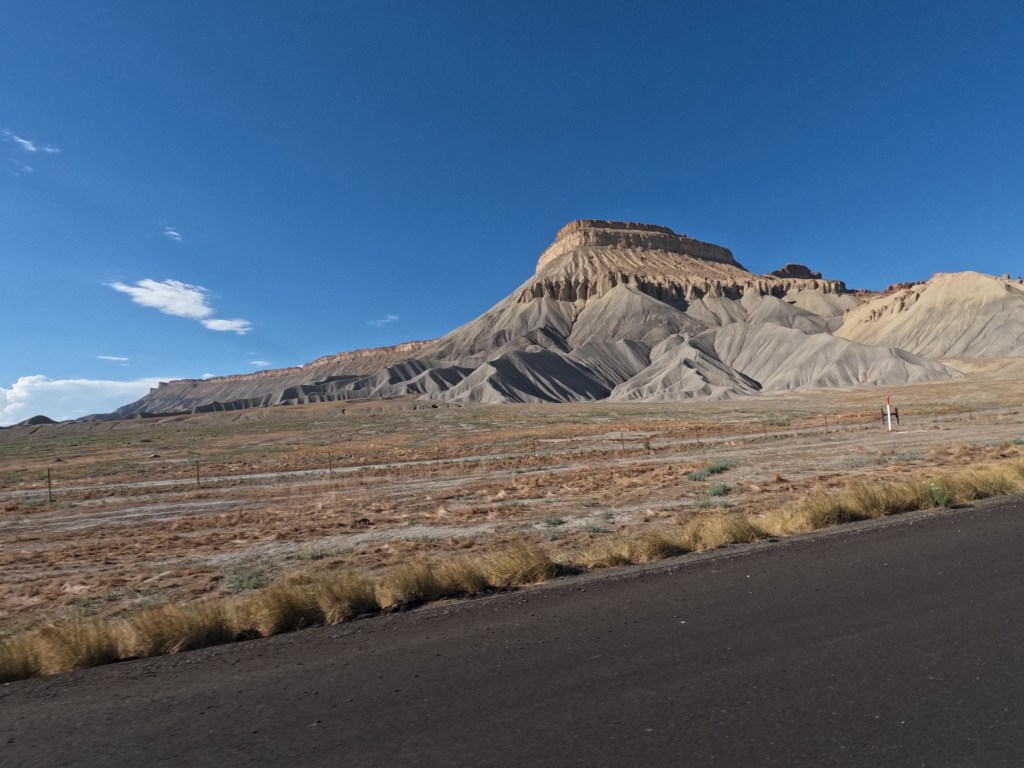
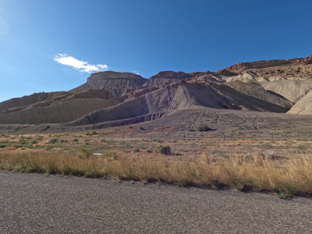
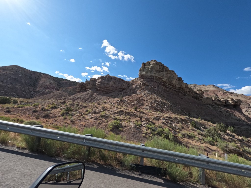
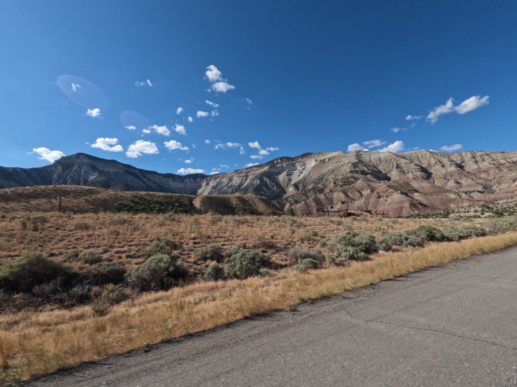
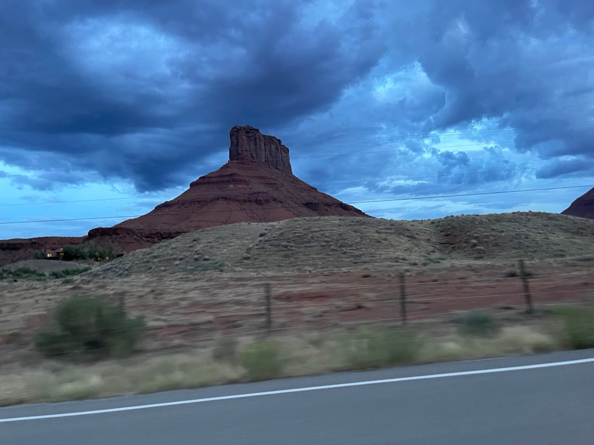
Once we reached the interstate in Glenwood Springs, we had about 200 miles until reaching Moab. As we got closer to Utah, the scenery started to change. The rocks begin change color and the rock formations slowly change. I think it’s so awesome!

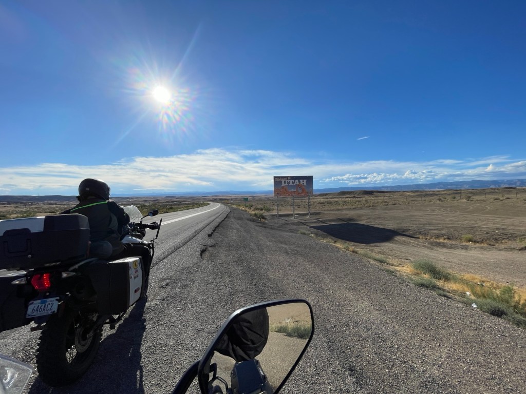
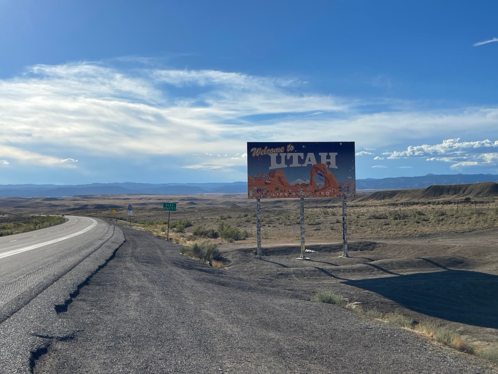
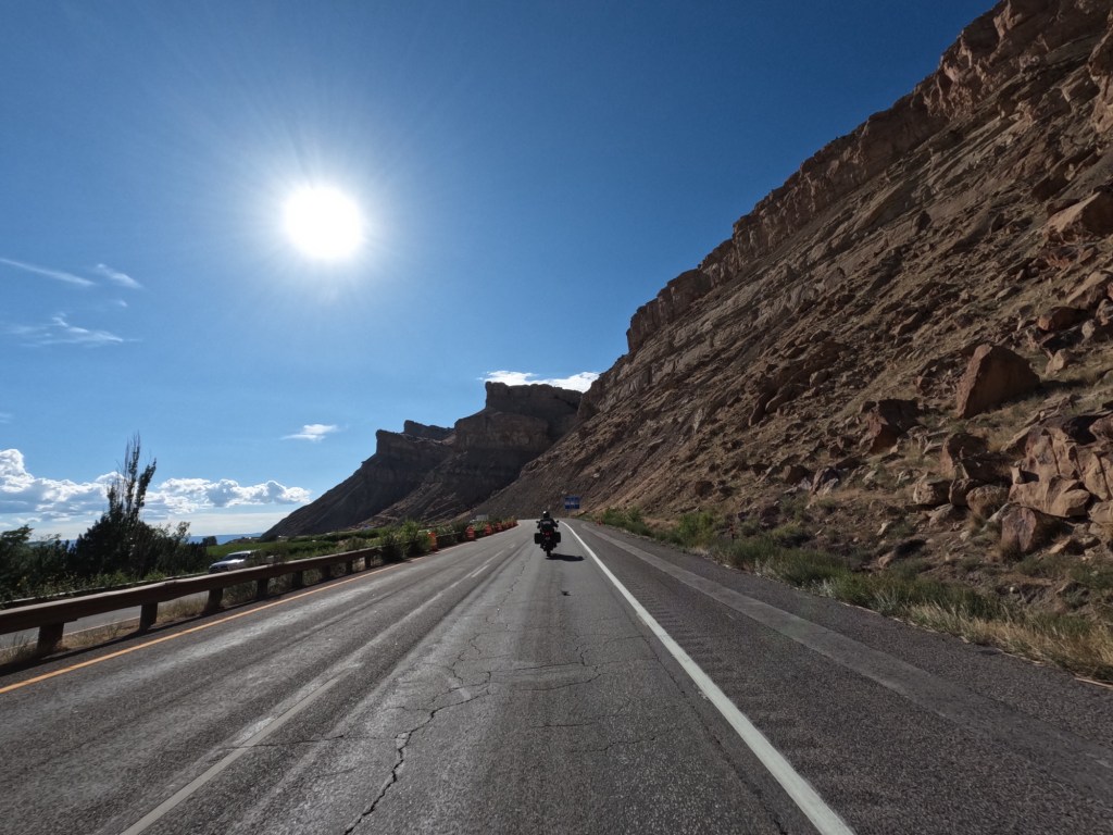
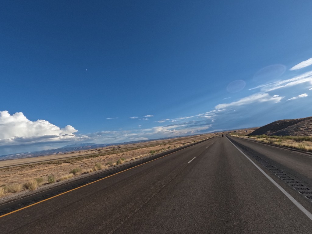
We crossed into Utah and saw the Utah sign so we stopped to take a picture. Then, before proceeding, I thought I would look for gas stations knowing Eddie was going to be due to fill soon. Well, there were no gas stations remotely close heading west, so we pulled off at a rest area and basically filled his tank from both gas containers. We didn’t want him to run out of gas like our last trip in 2022, especially since it was very desolate. Gas stations were 61 miles apart! After filling up, we slowed the speed down a good bit because it yields better fuel economy. The speed limit on I-70 in Utah is 80mph, but we were doing 65-70 to make sure we would make it to the gas station. I really wanted to get off and keep heading to this scenic byway on state route 128 from Cisco to Moab, but we may not have made it to Moab, so we continued to the gas station.
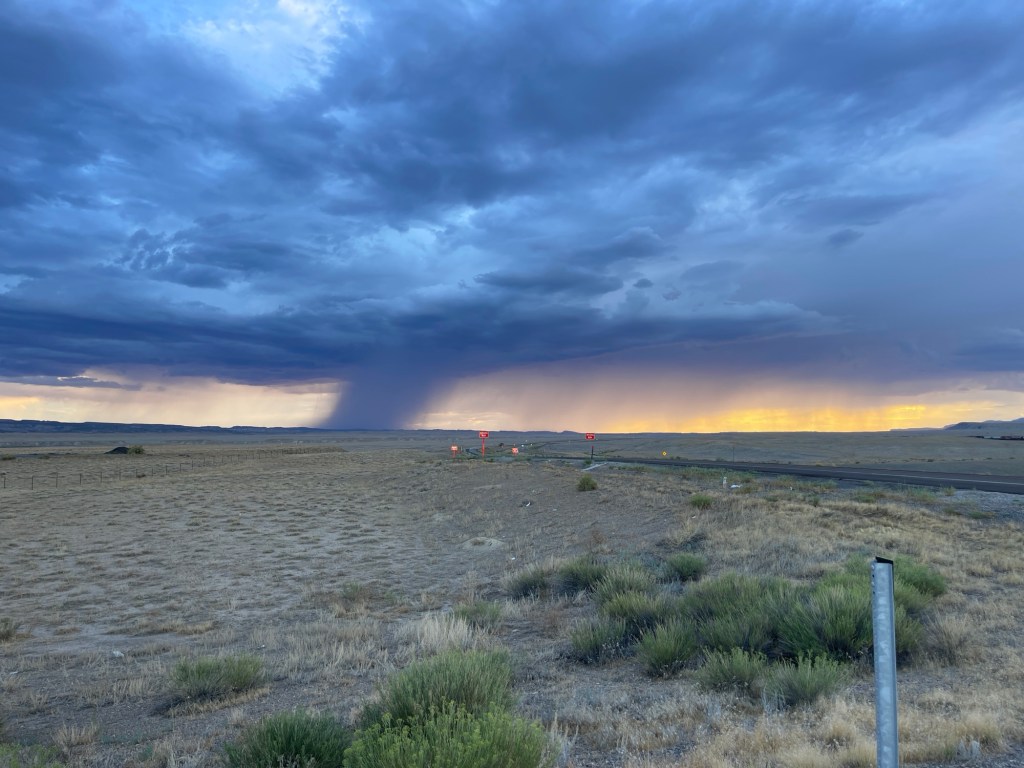
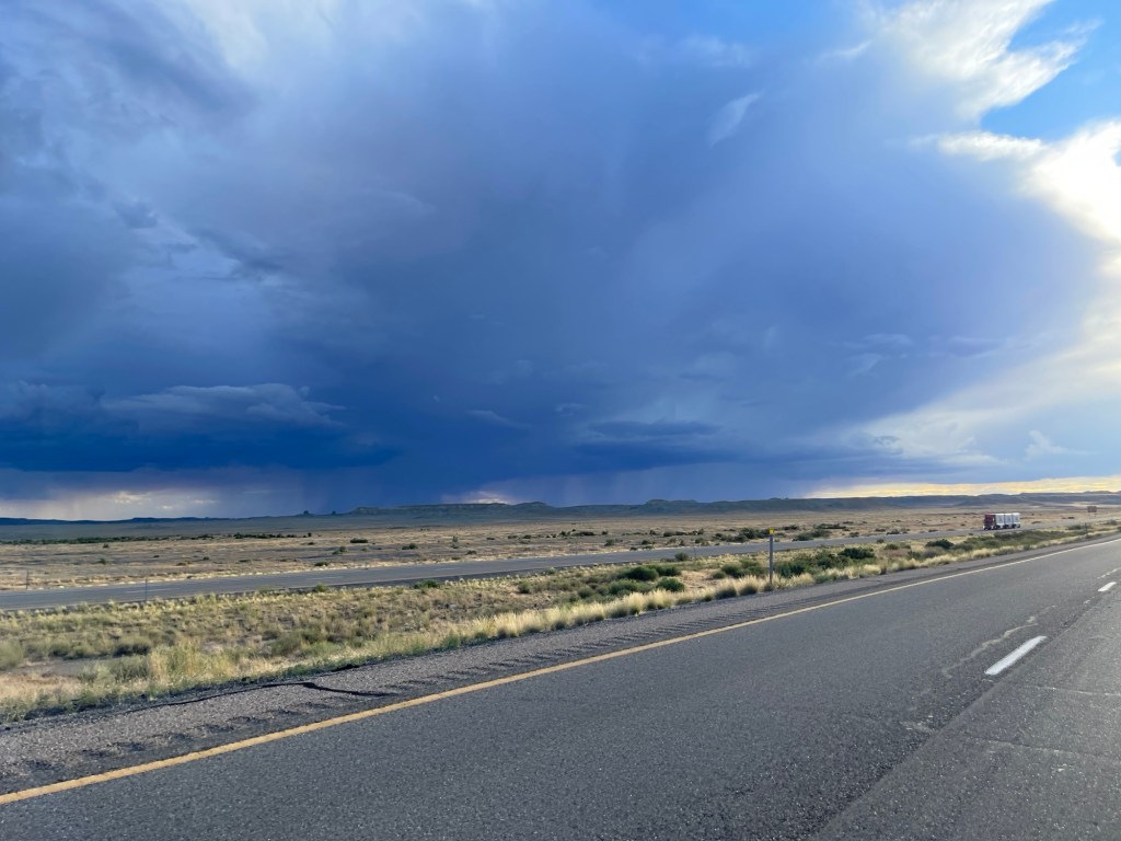
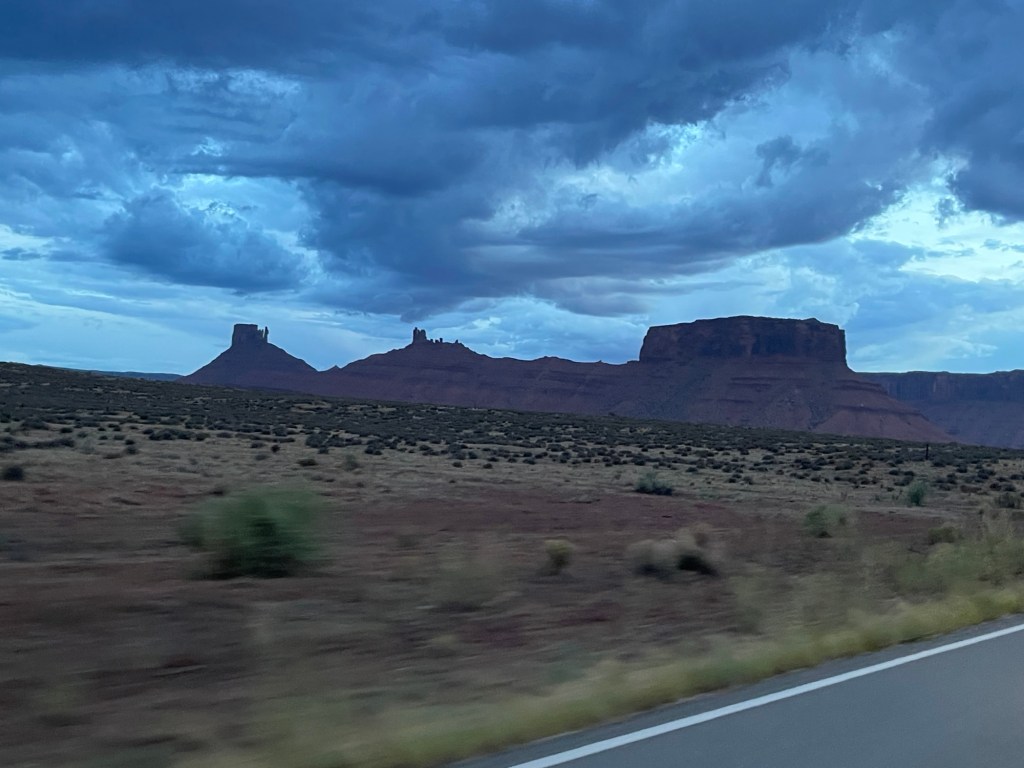
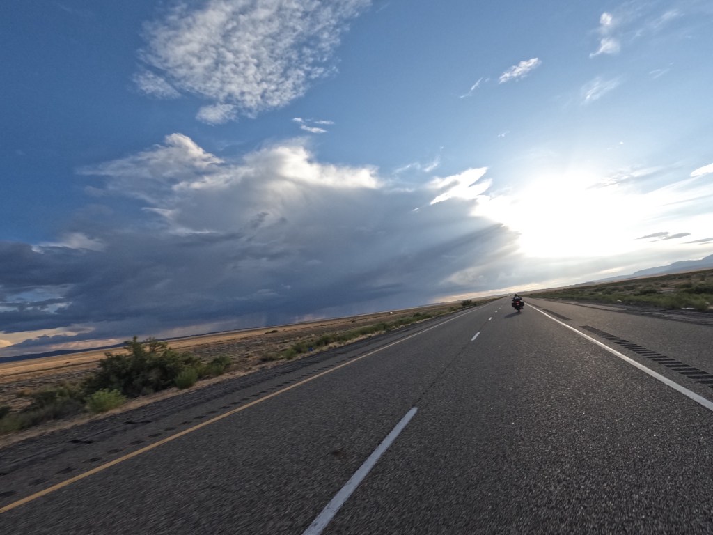
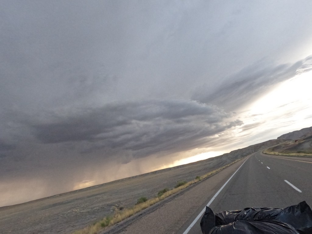
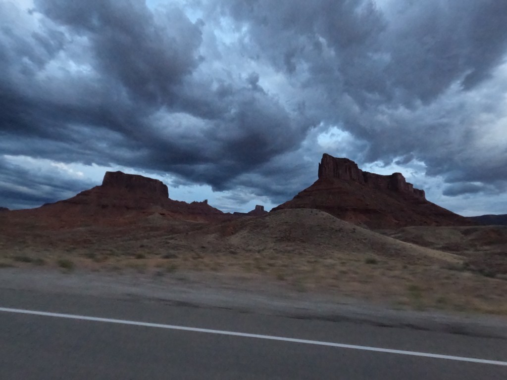
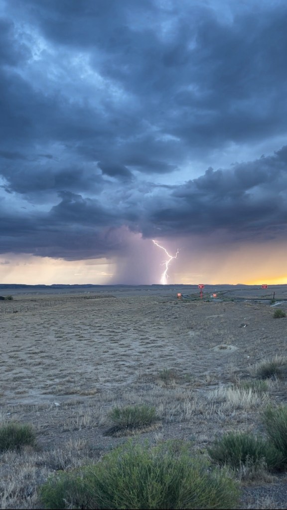
As we were headed to the gas station, we could see a storm off in the distance. We could see the rain and lightning. We arrived at the gas station and checked the radar. It was coming right for us. So, rather than dealing with it, I suggested to backtrack 18 miles and hit the scenic byway to avoid the storm cell. It worked out perfect and we stopped and to get some photos and videos of the storm. Eddie caught a really awesome shot of a lightning strike!

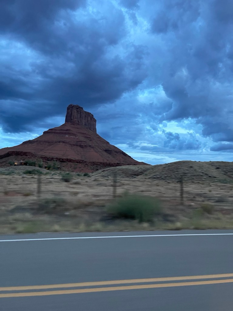
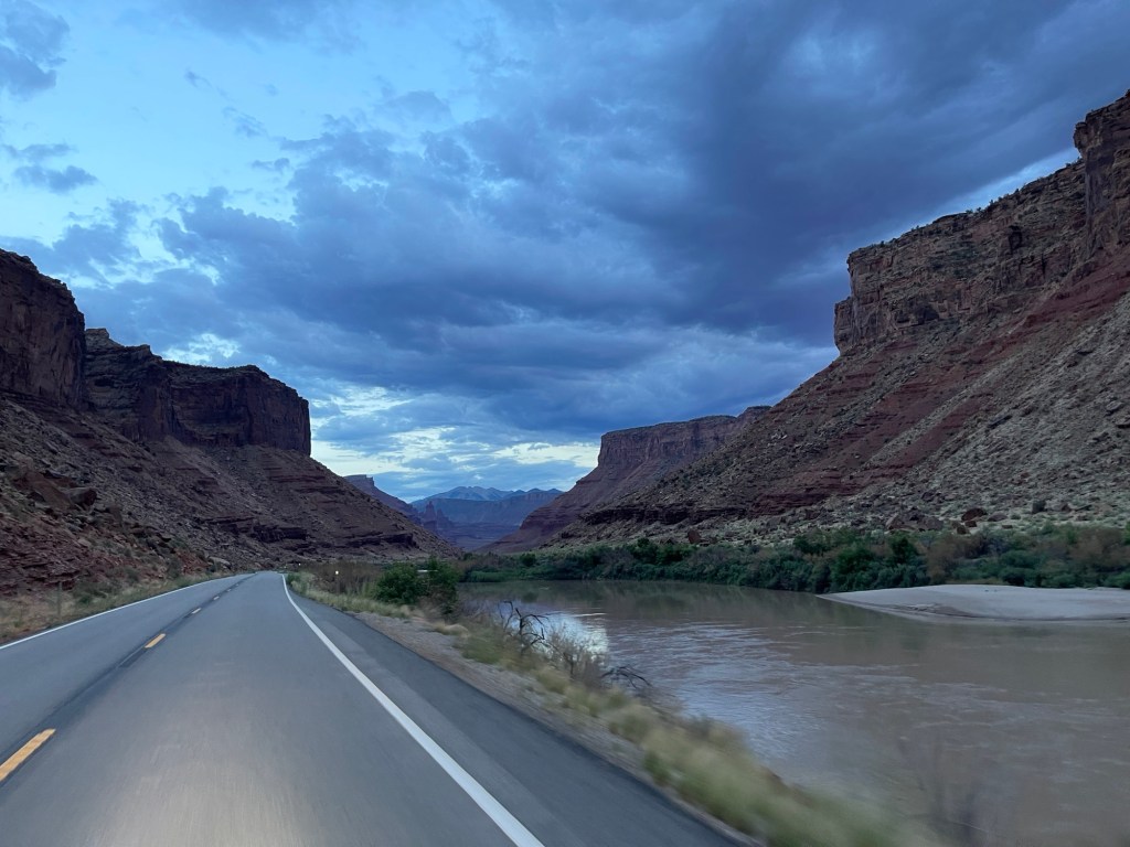
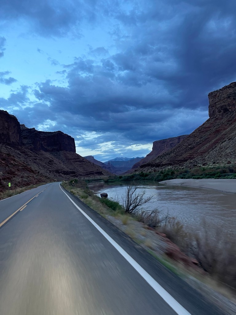
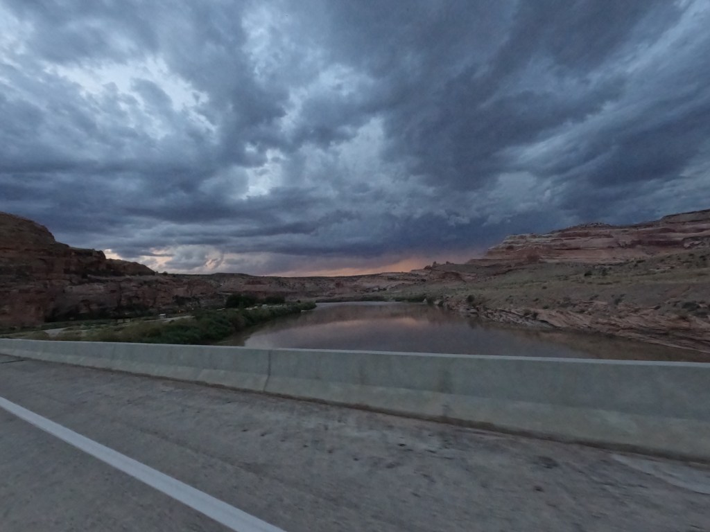
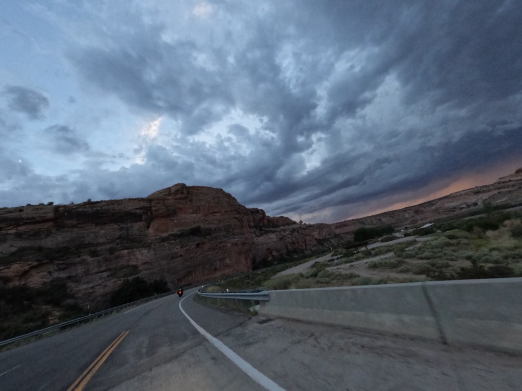
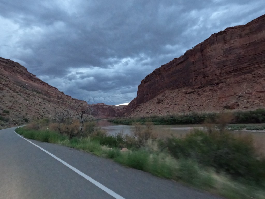
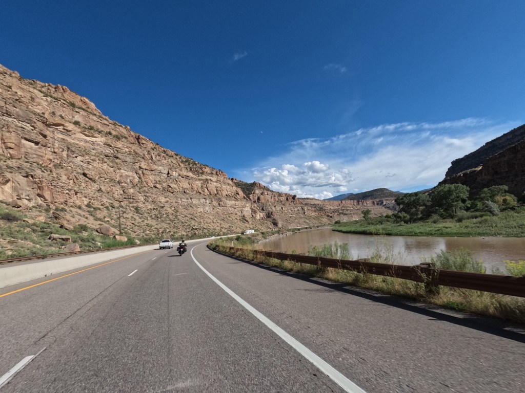
We continued south onto route 128 and the beginning is very plain-like, but I did it before on my first trip and knew about the red rocks and formations you get to see before getting into Moab. This road parallels the Colorado River and there such amazing views of buttes, mesas, and spires. This is why I was stoked to ride the same road again.

We finished the day with 400 miles.
Google photo album: Day 4 photos and videos