Cross Country Trip 3: Day 8

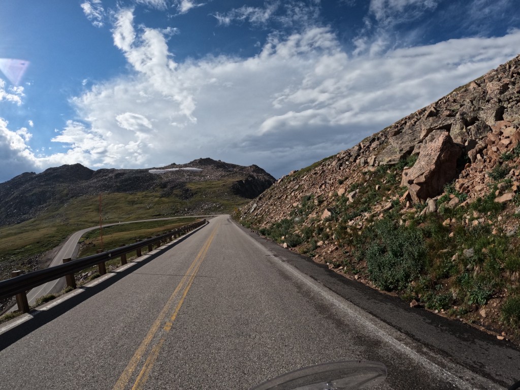
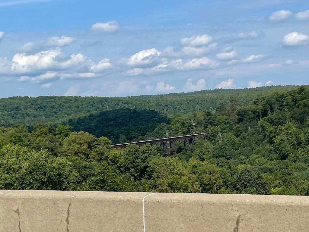
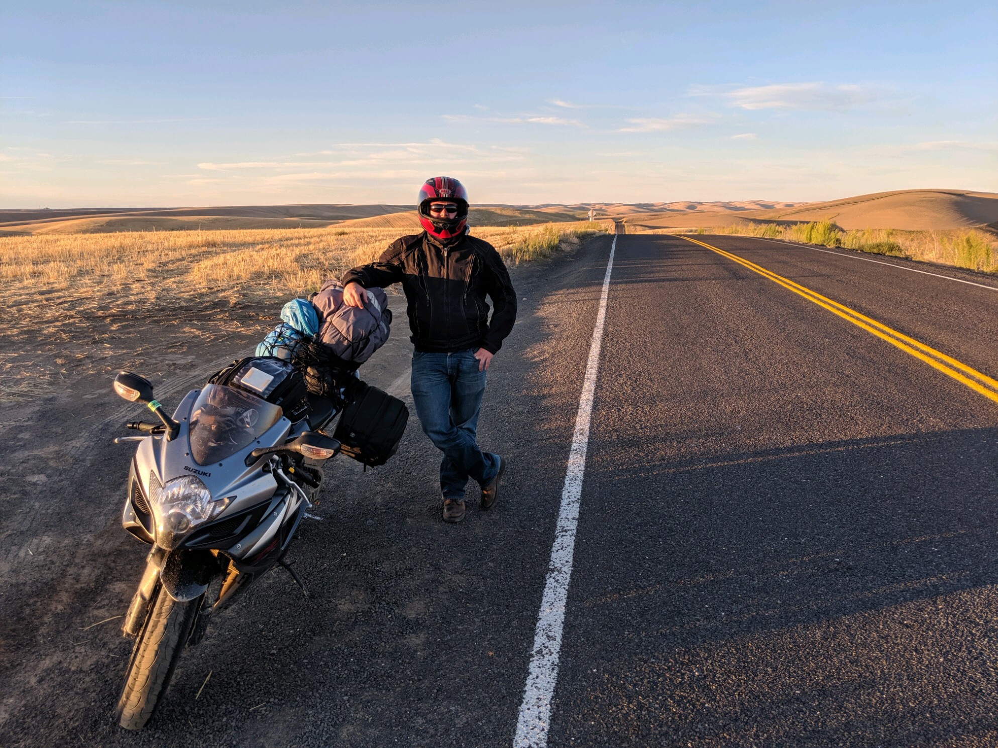
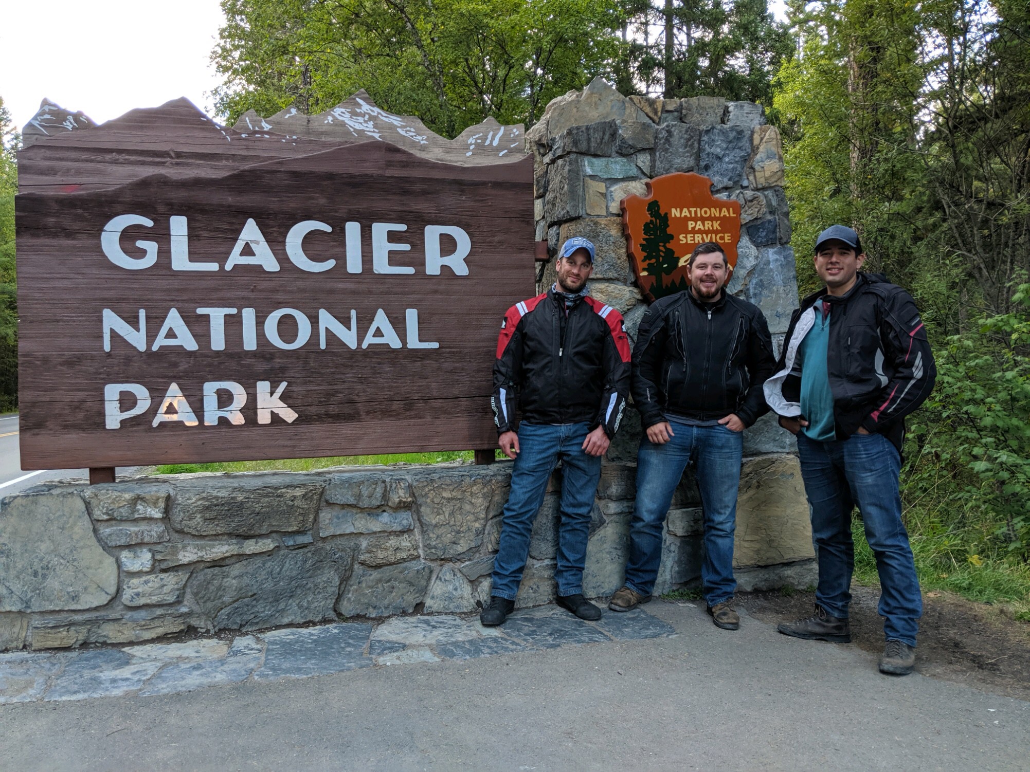
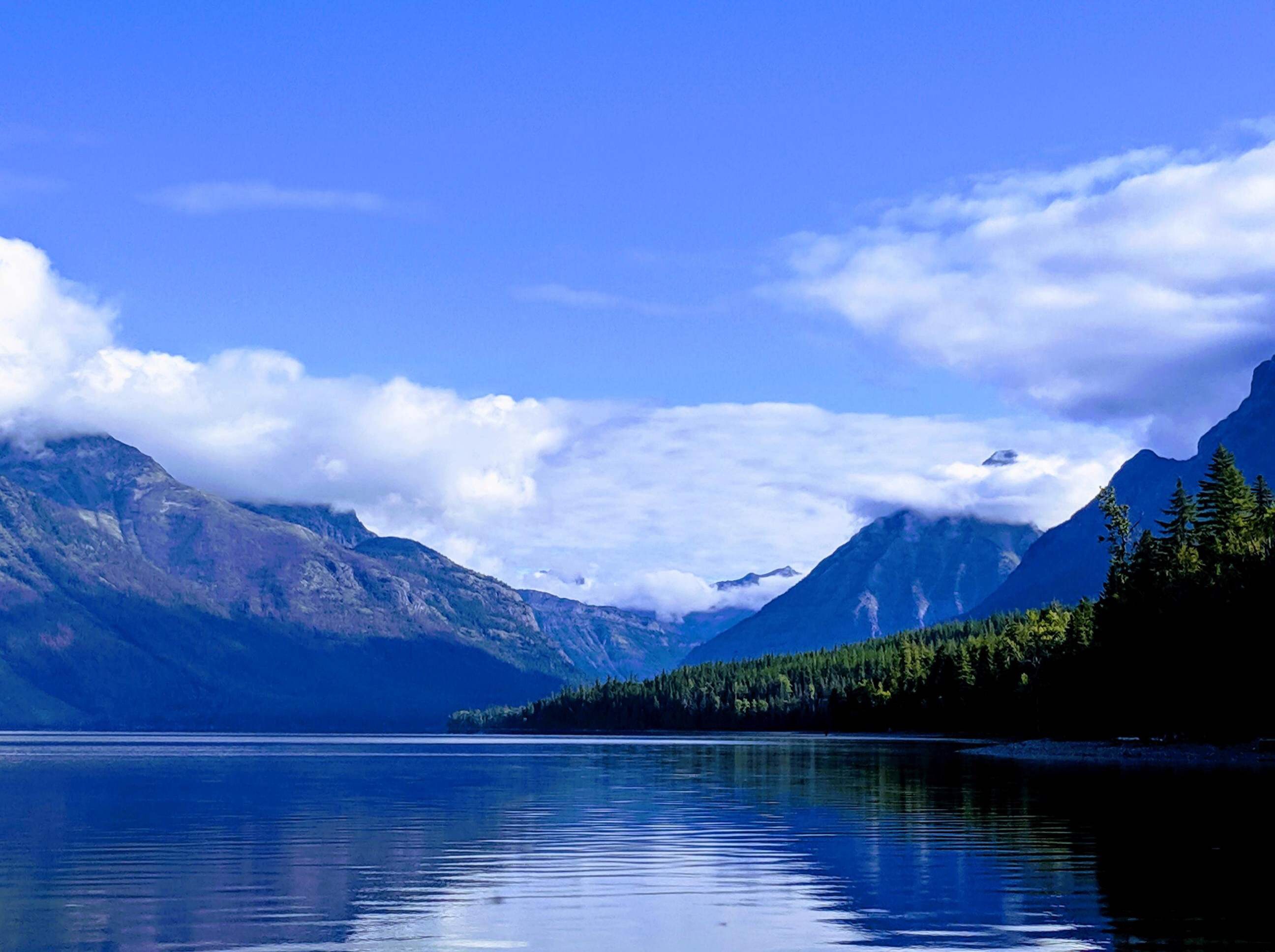
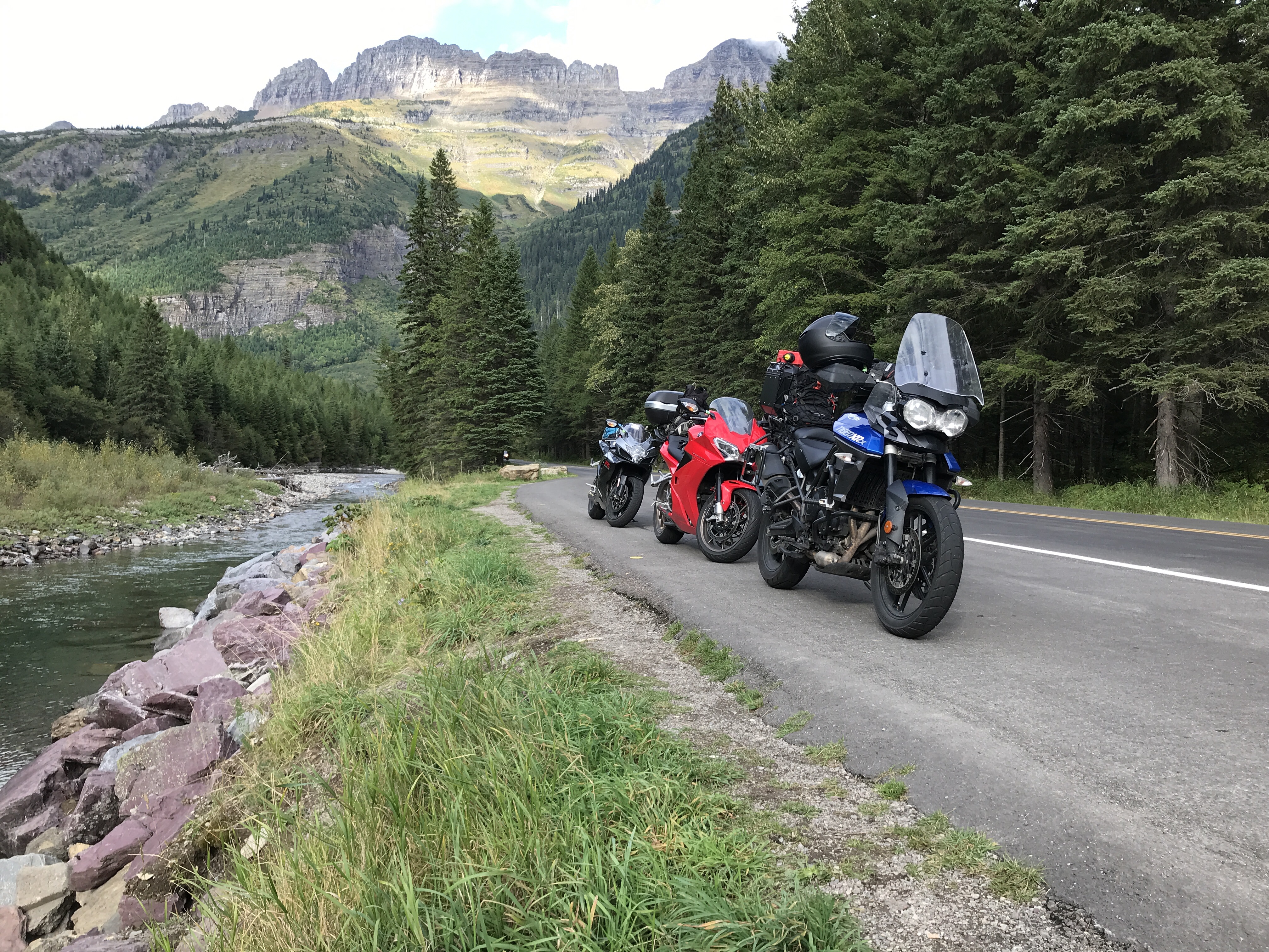
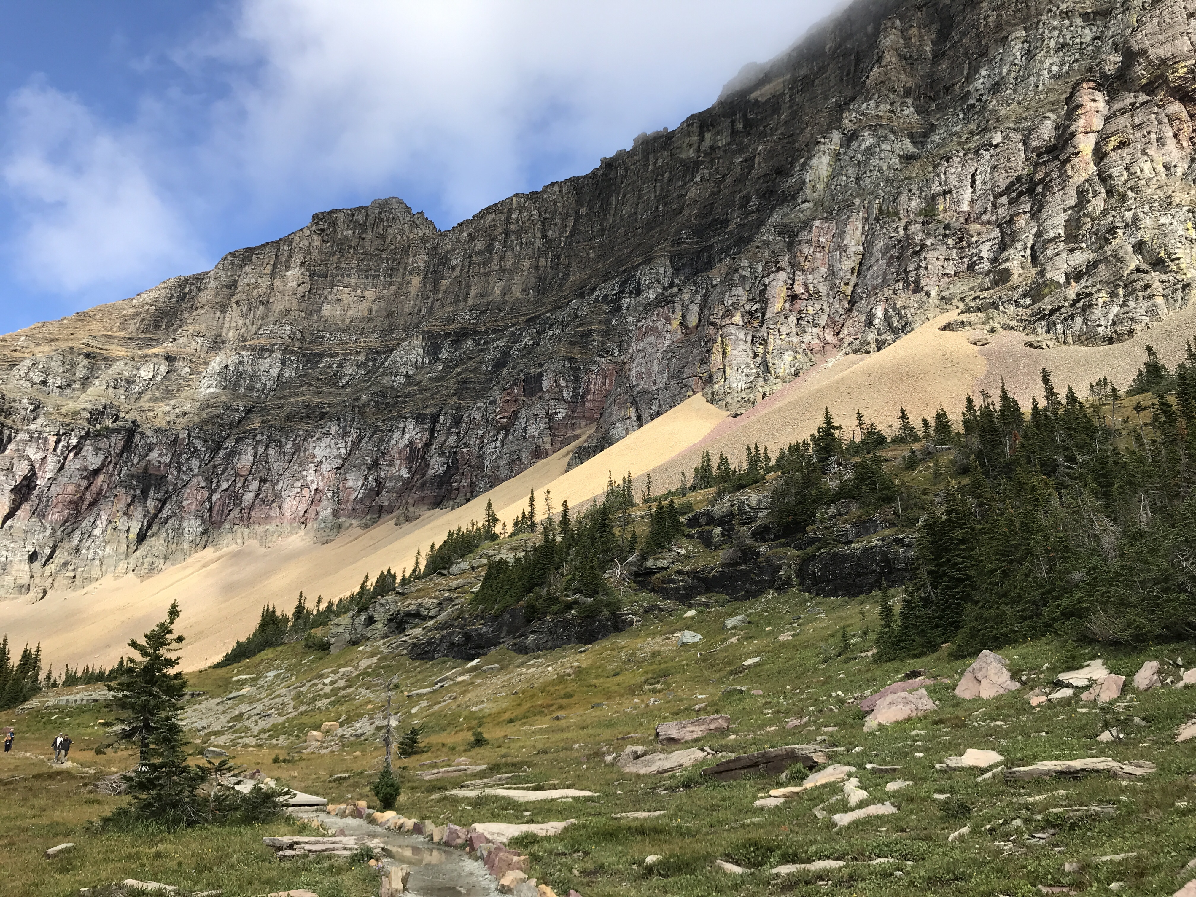
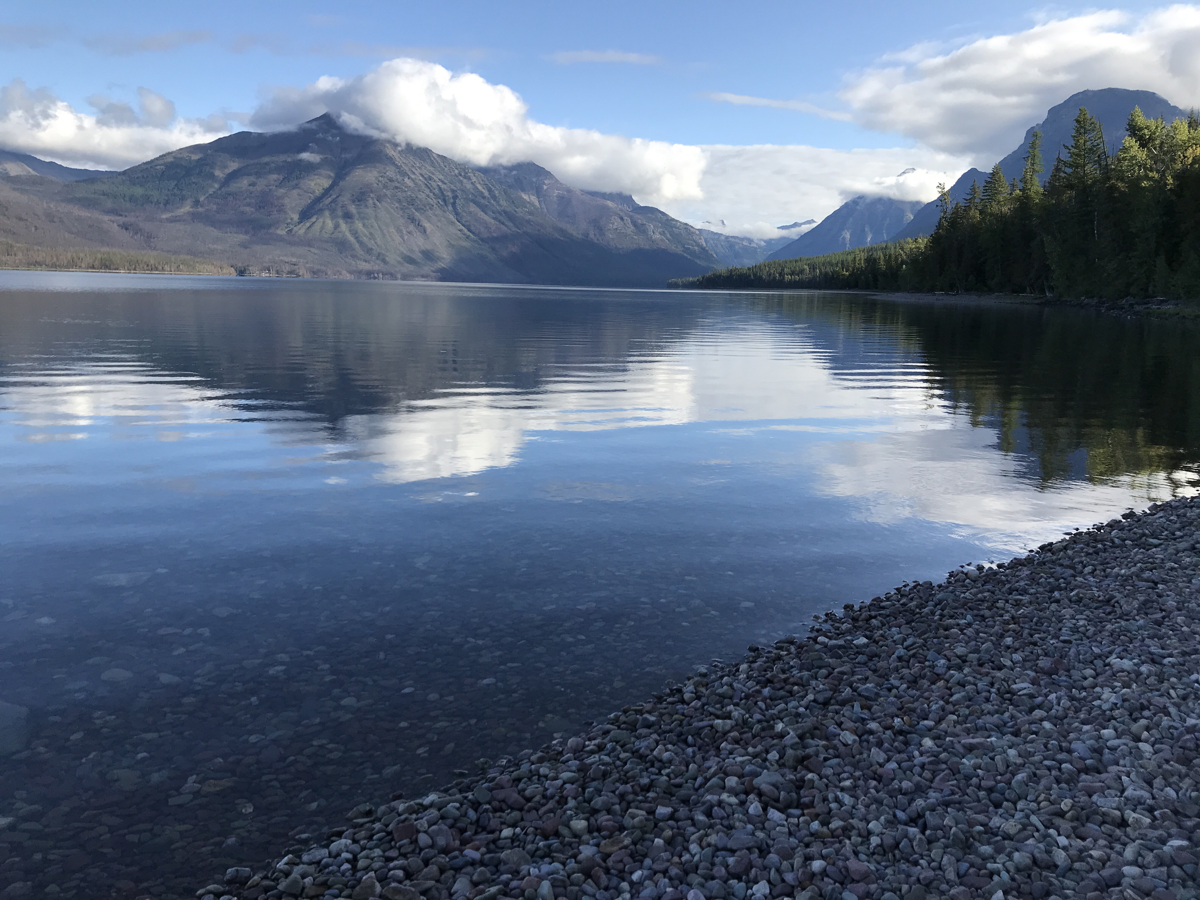
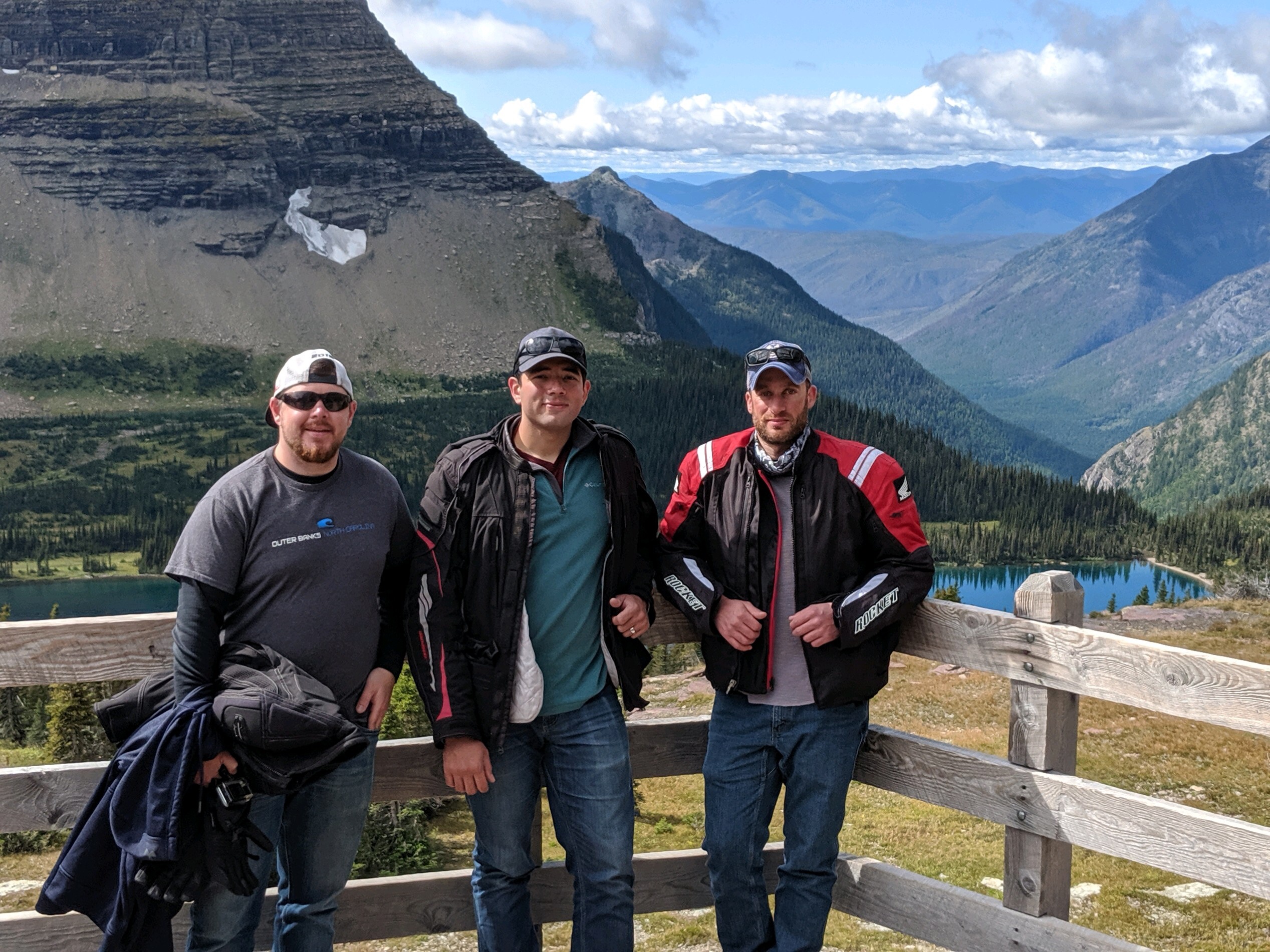
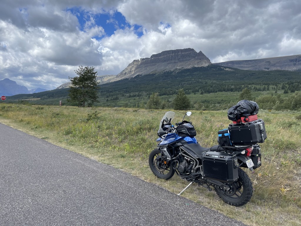
We left sort of early and got to West Glacier at about 8am. It was a Saturday, so we knew it could get packed. We already had a vehicle registration permit. These are needed to access the park from May 27 – September 11. This is to help limit the amount of congestion on the main road going through the park, Going-to-the-Sun Road. The view are incredible. The photos don’t do any justice at all. It’s truly a magnificent experience. To this day, this is my favorite park! The ride up from the west entrance is incredible!

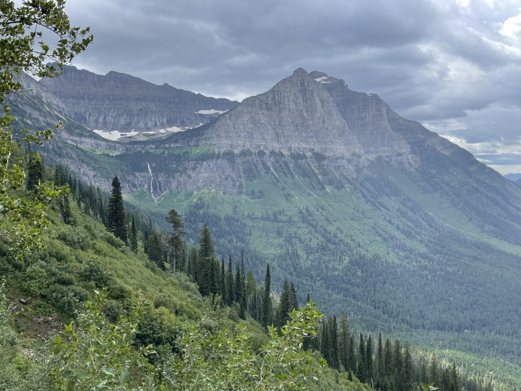
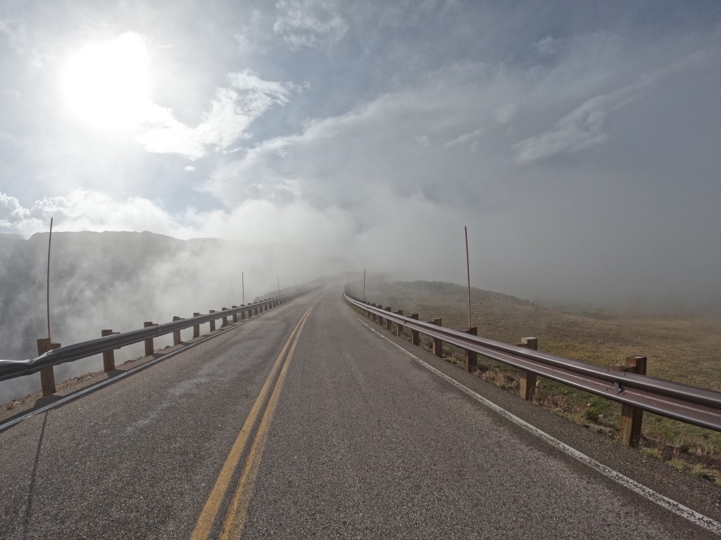
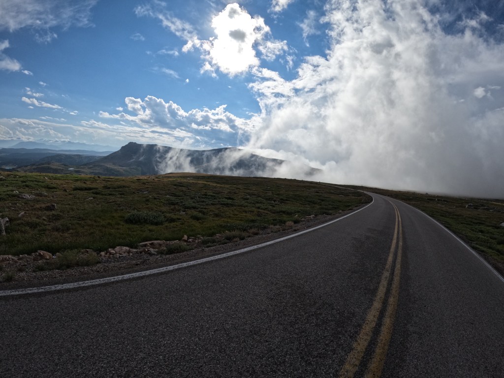
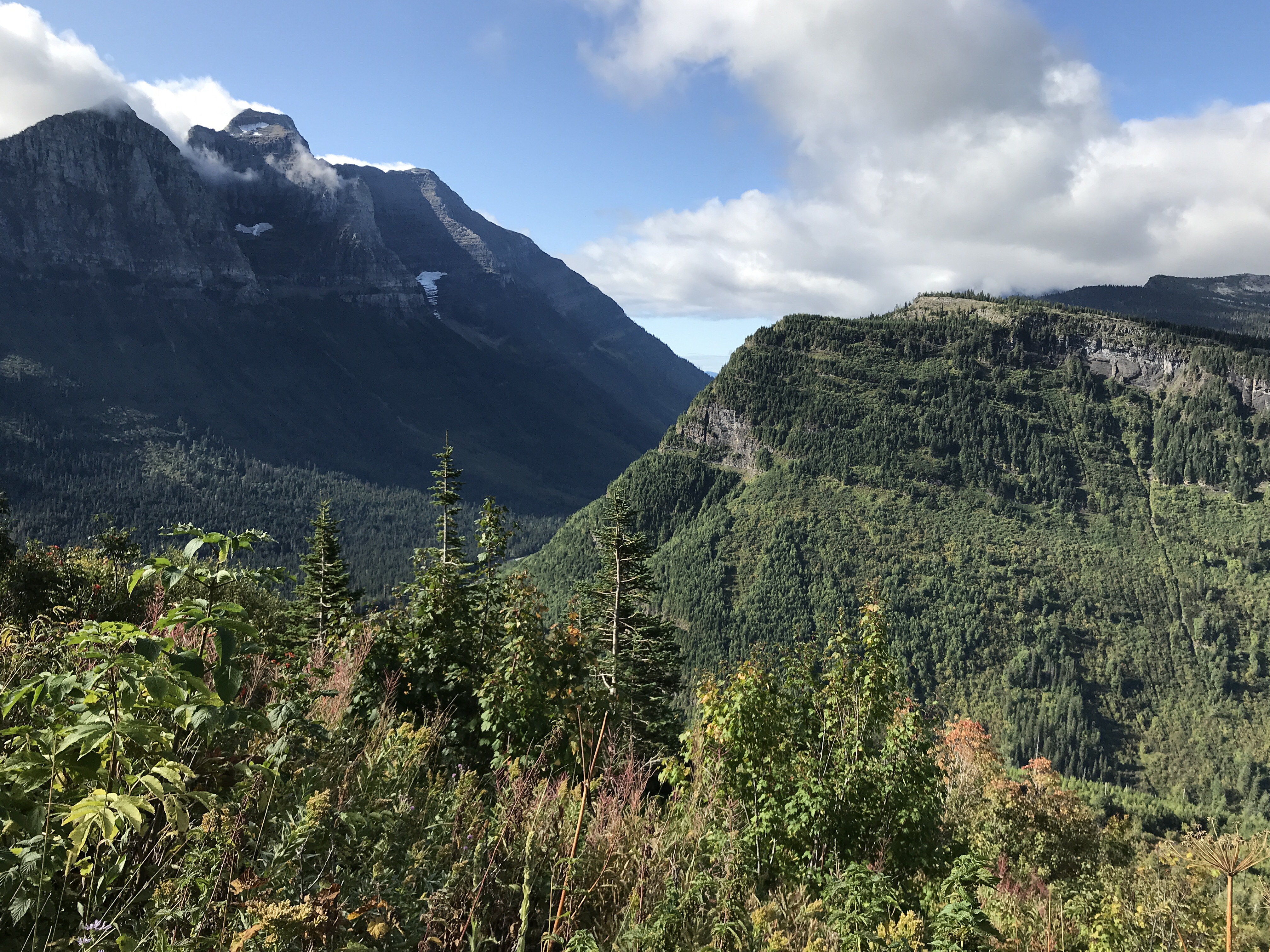
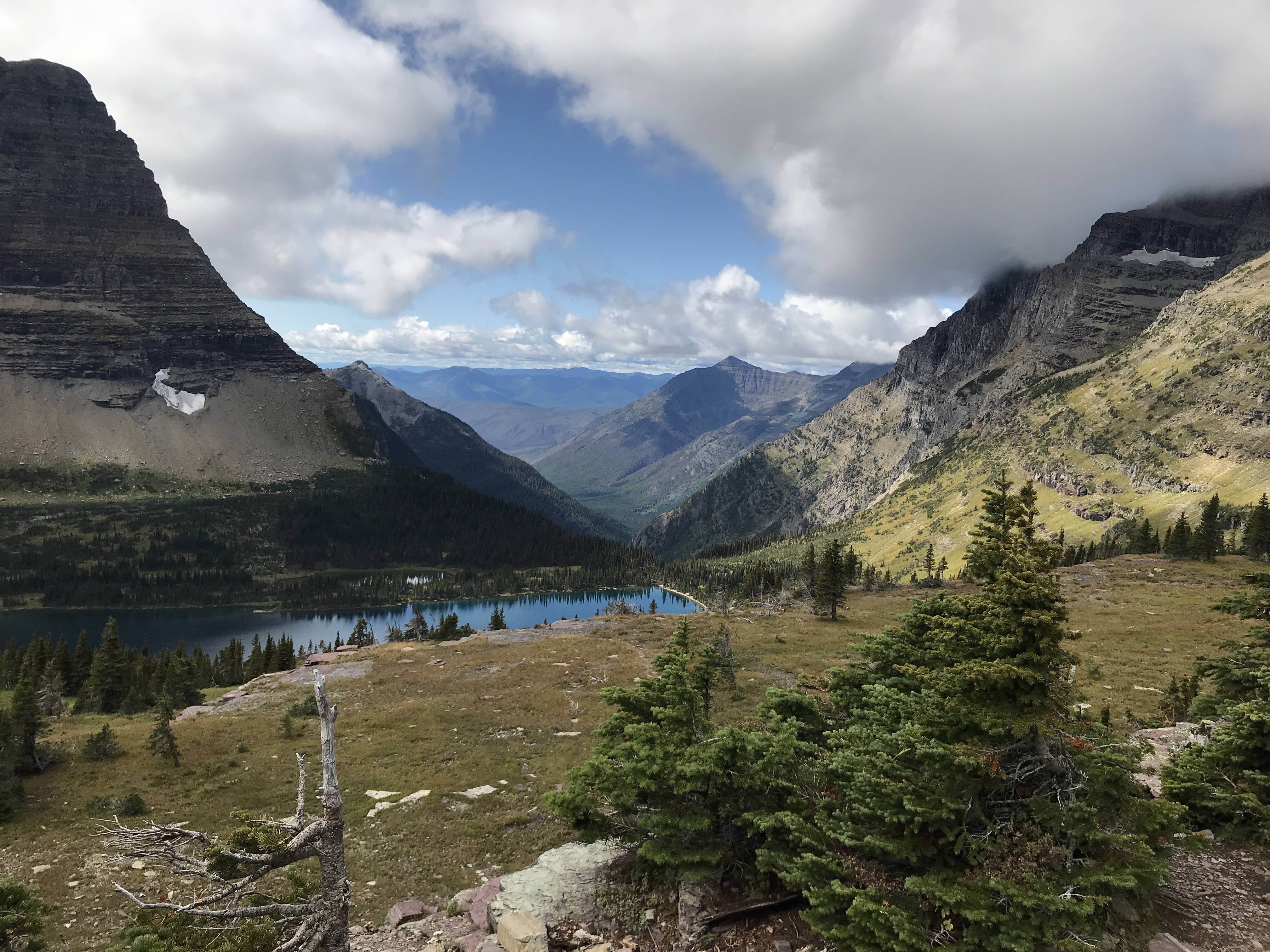
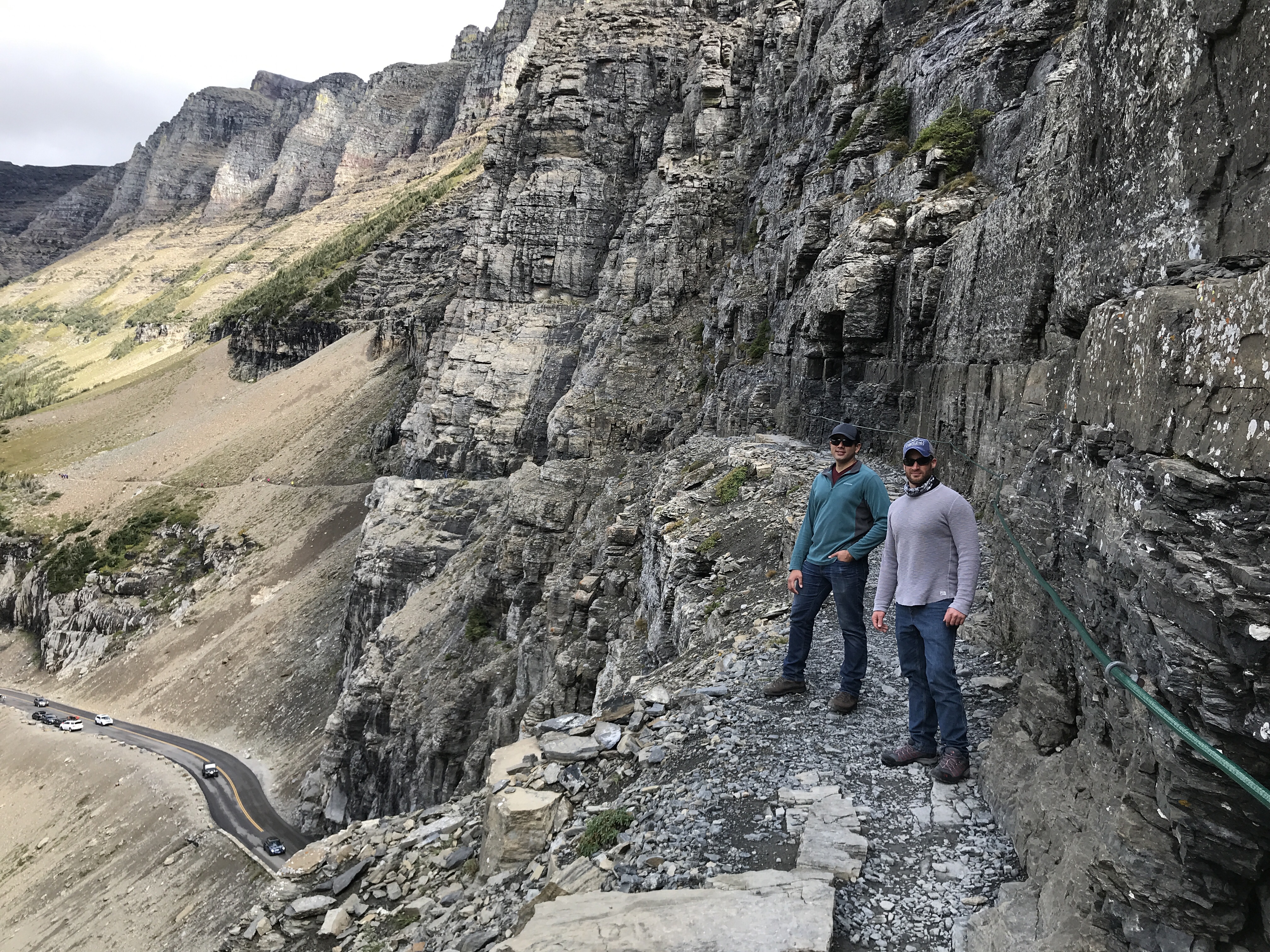
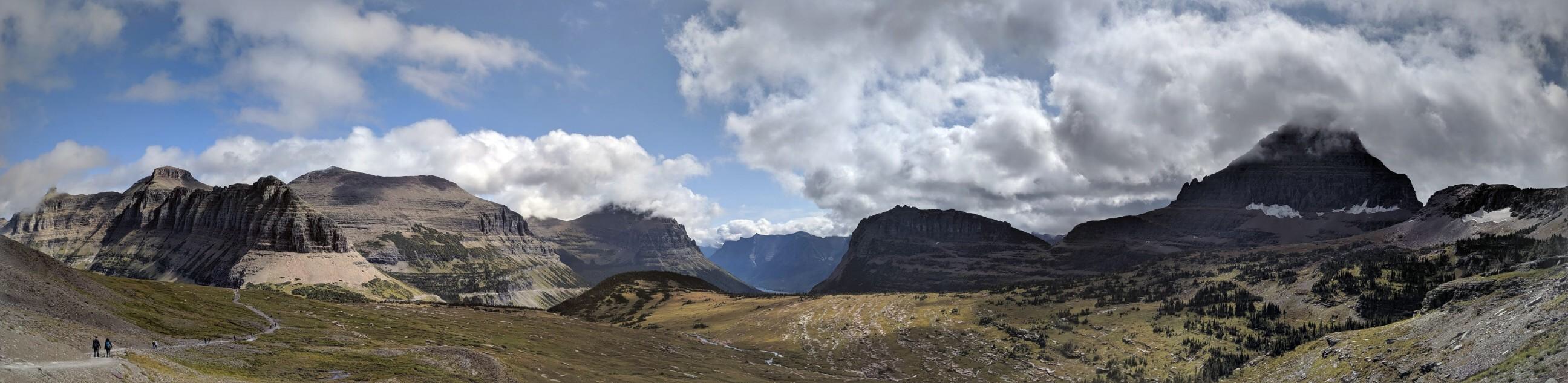
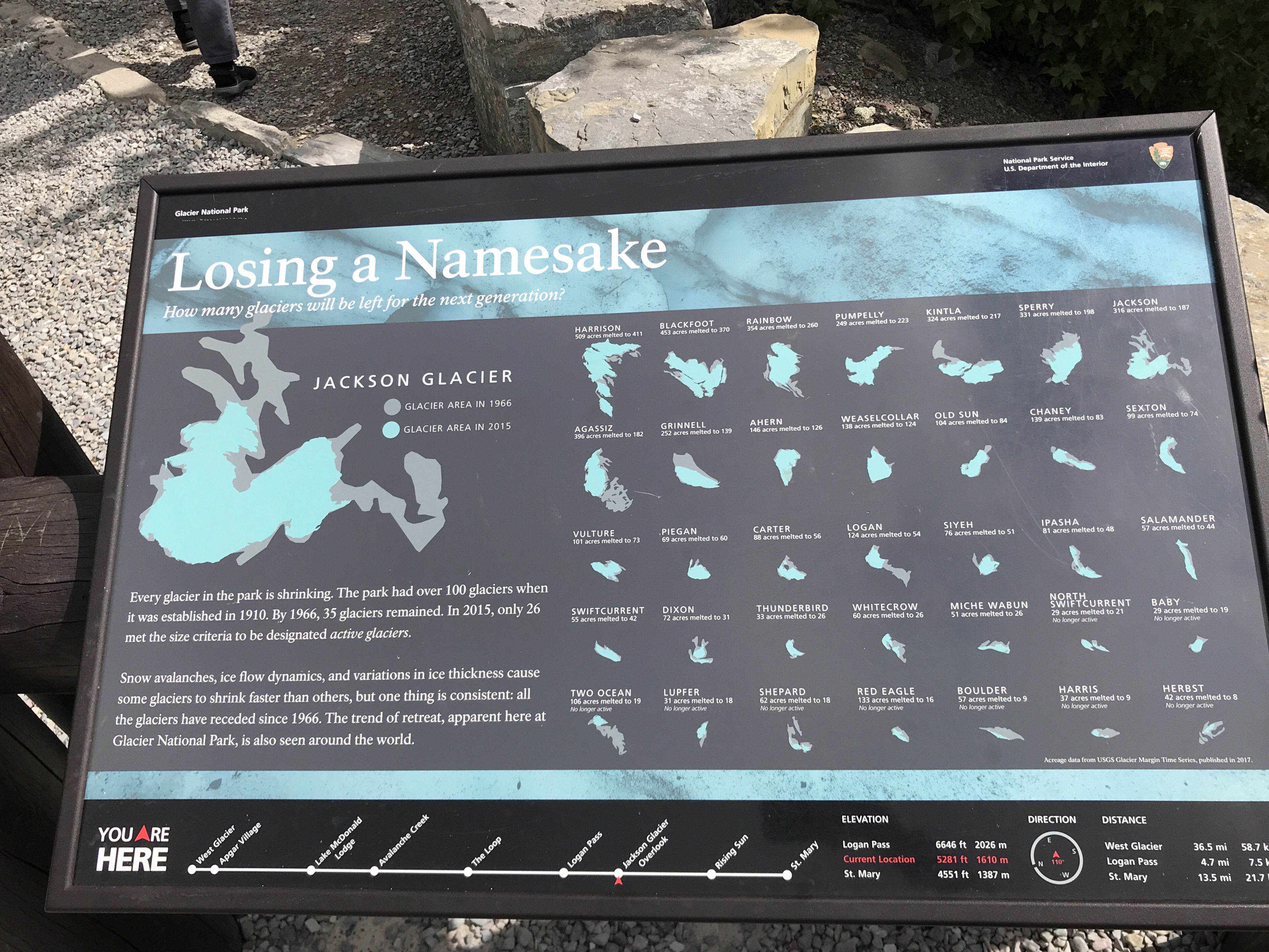
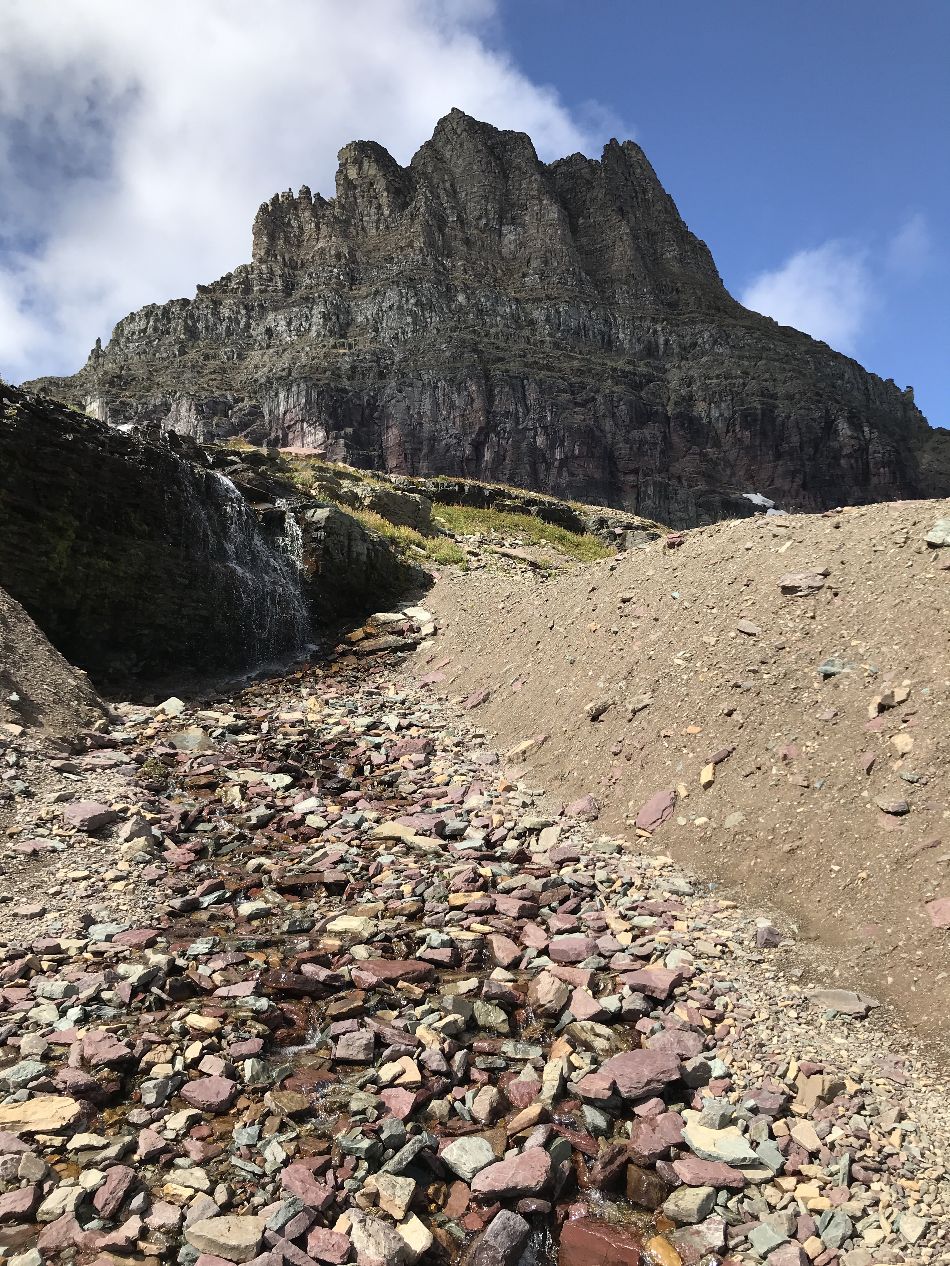
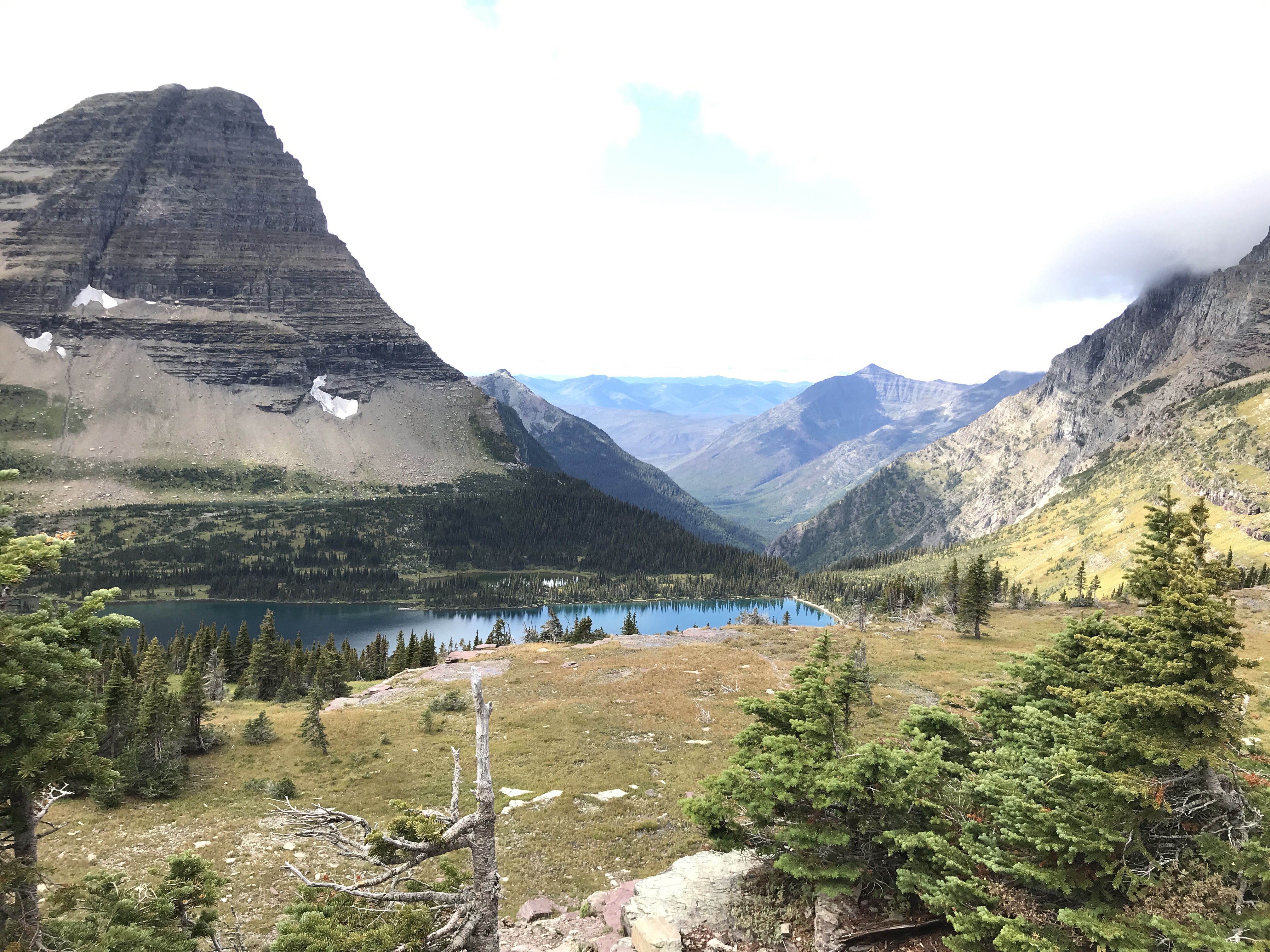
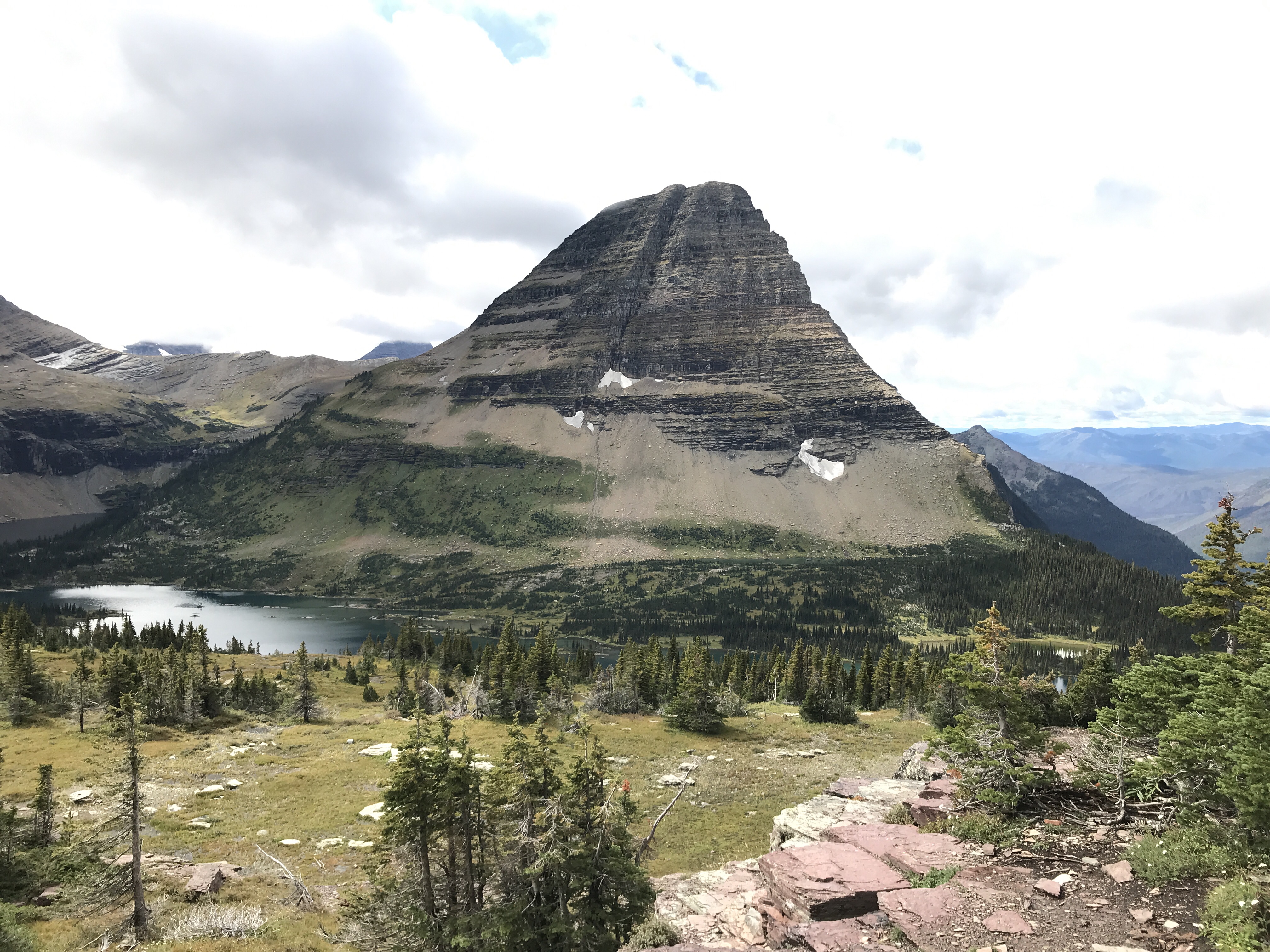
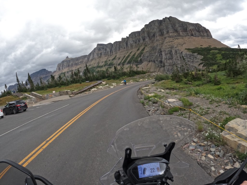
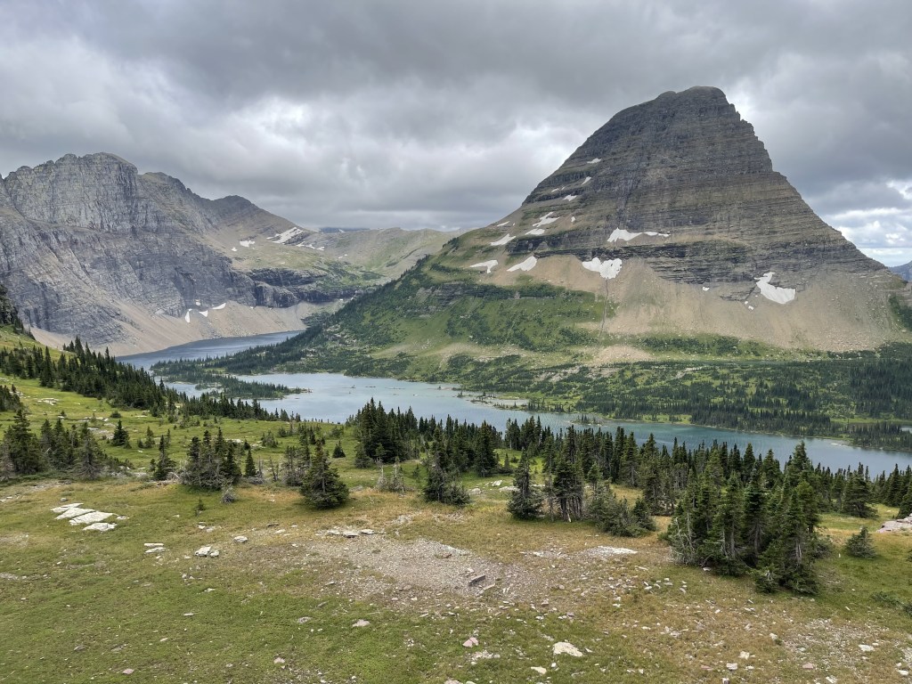
We got to the top where the Logan Pass visitor center is located.  It was a bit windy and chilly, so we went inside. I was hoping for some coffee but they don’t sell coffee there. So, we got some stickers for our panniers (side bags) then did the 1.5 mile hike up to Hidden Lake.  The views are spectacular!  We only went as far as the overlook to Hidden Lake. The backdrop of the mountains never gets old.

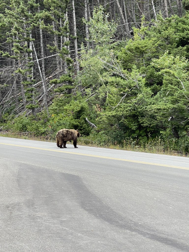
After soaking up the views, we headed back down and continued our way through the park. We were hoping to see some wildlife and I finally saw a black bear. It was about 100 yards away near the east entrance of the park and we pulled over to take some photos. 

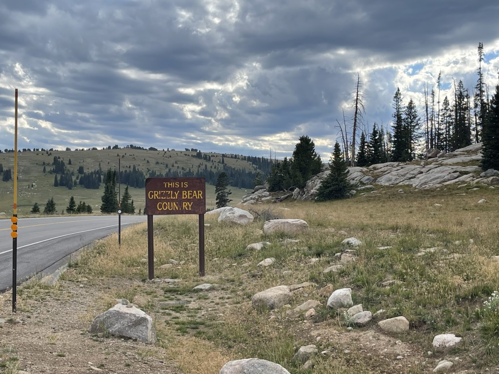
We got to the end of the park and turned around to head back to the west entrance. On the way back, I was looking for mountain goats.  I thought that would have been cool to see.  So, we pulled off into a turnout so we could look up in the mountains for them.  While sitting there looking up at the mountains for a mountain goat, Eddie happened to look to his left and saw a grizzly, standing right there on its hind legs.  It was only about 10 feet away. When he looked, he was like “holy…there’s a bear on his hind legs!” I didn’t 100% believe him so I got off my bike to walk up the road a little. I was hoping I would be able to see it. Well, I saw it too! Through some thick bushes, I saw a big golden brown color moving towards me and ran like a baby haha. It was about 10 feet from me, but I was not going to stick around and find out! Fortunately, it just walked across the road like Eeyore, so we were able to get some photos and videos. It was definitely an experience!

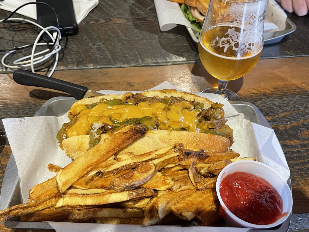
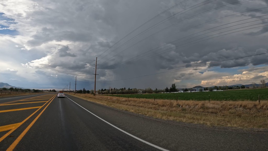
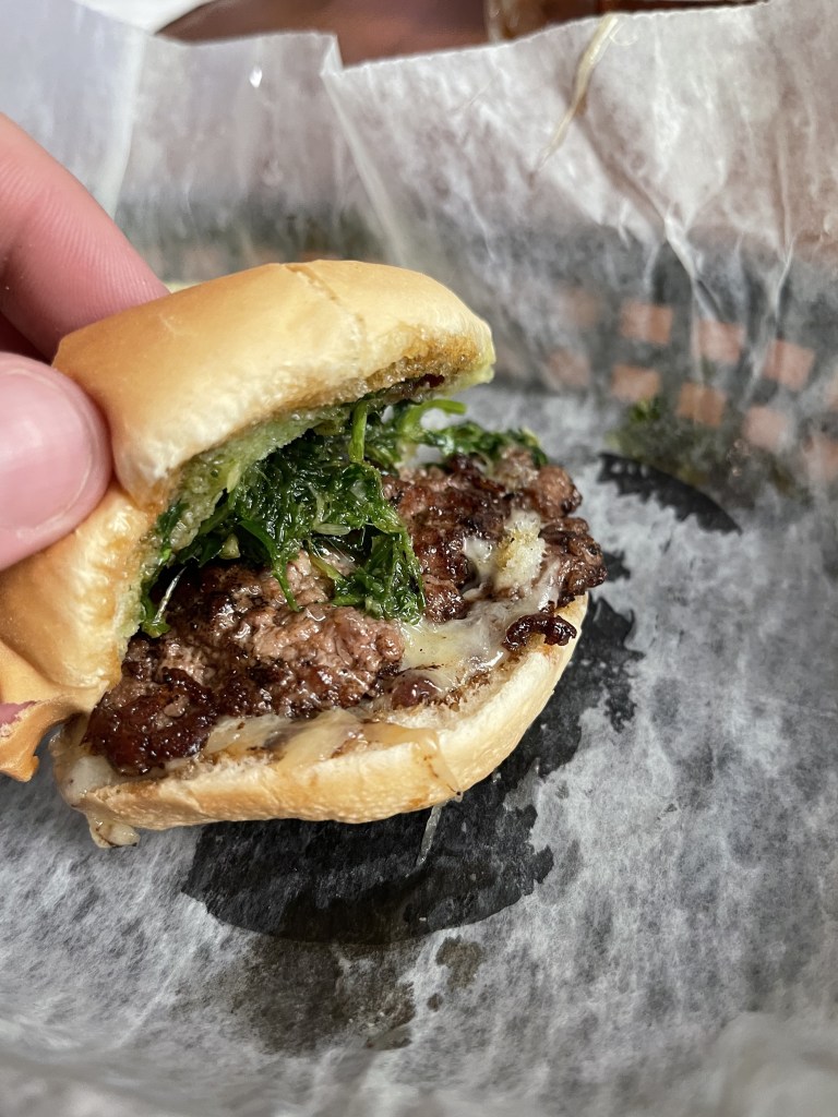
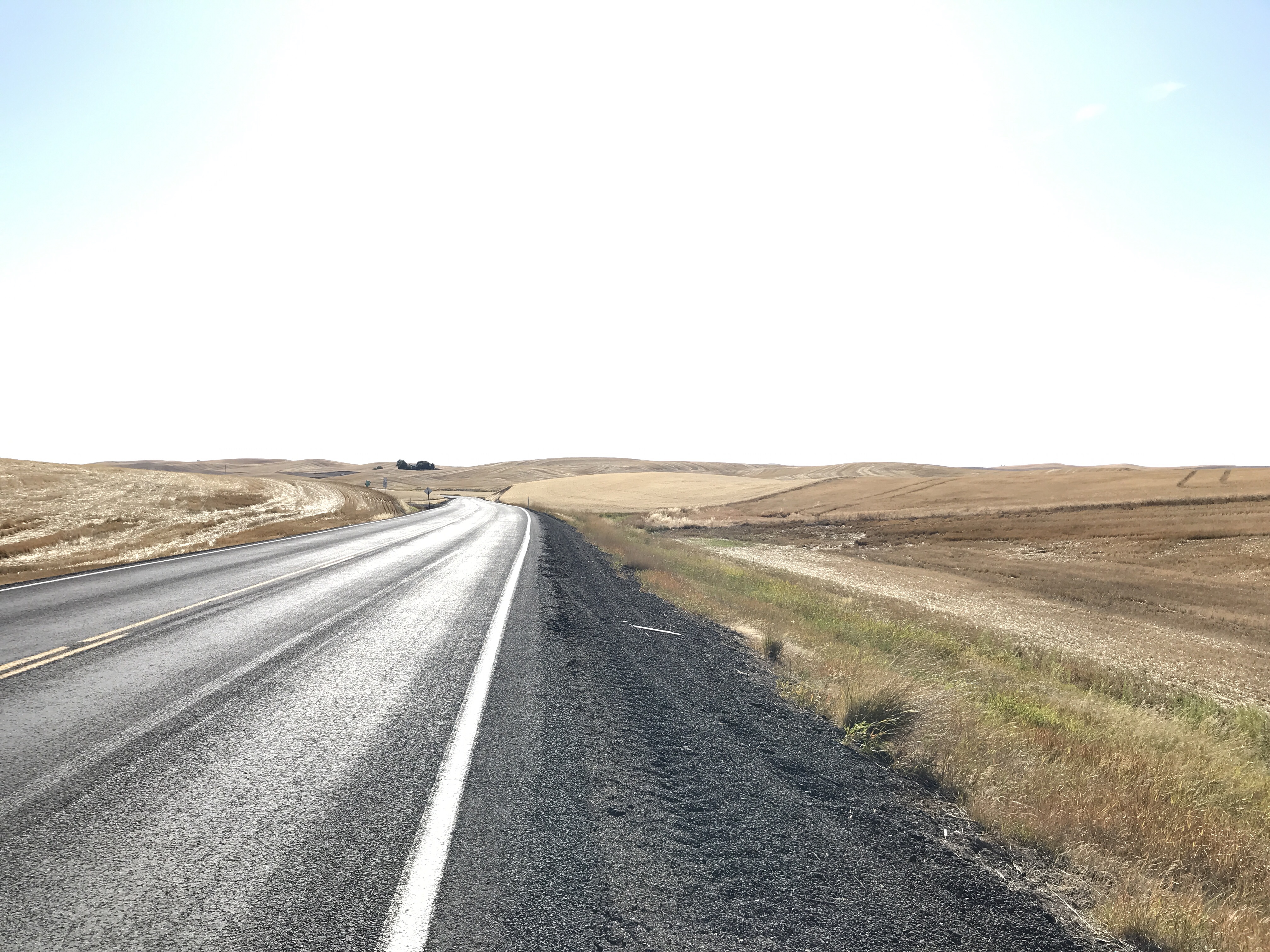
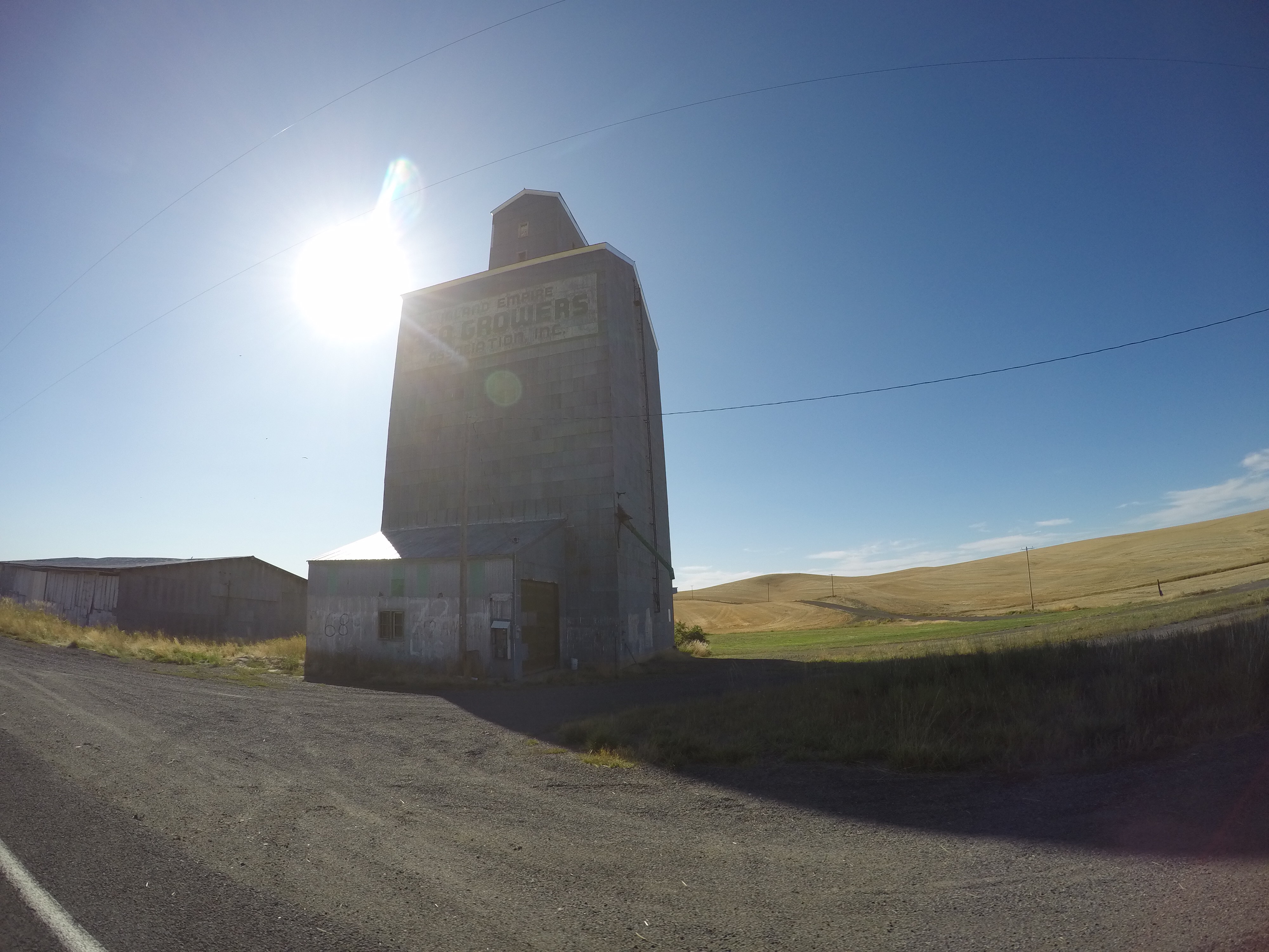
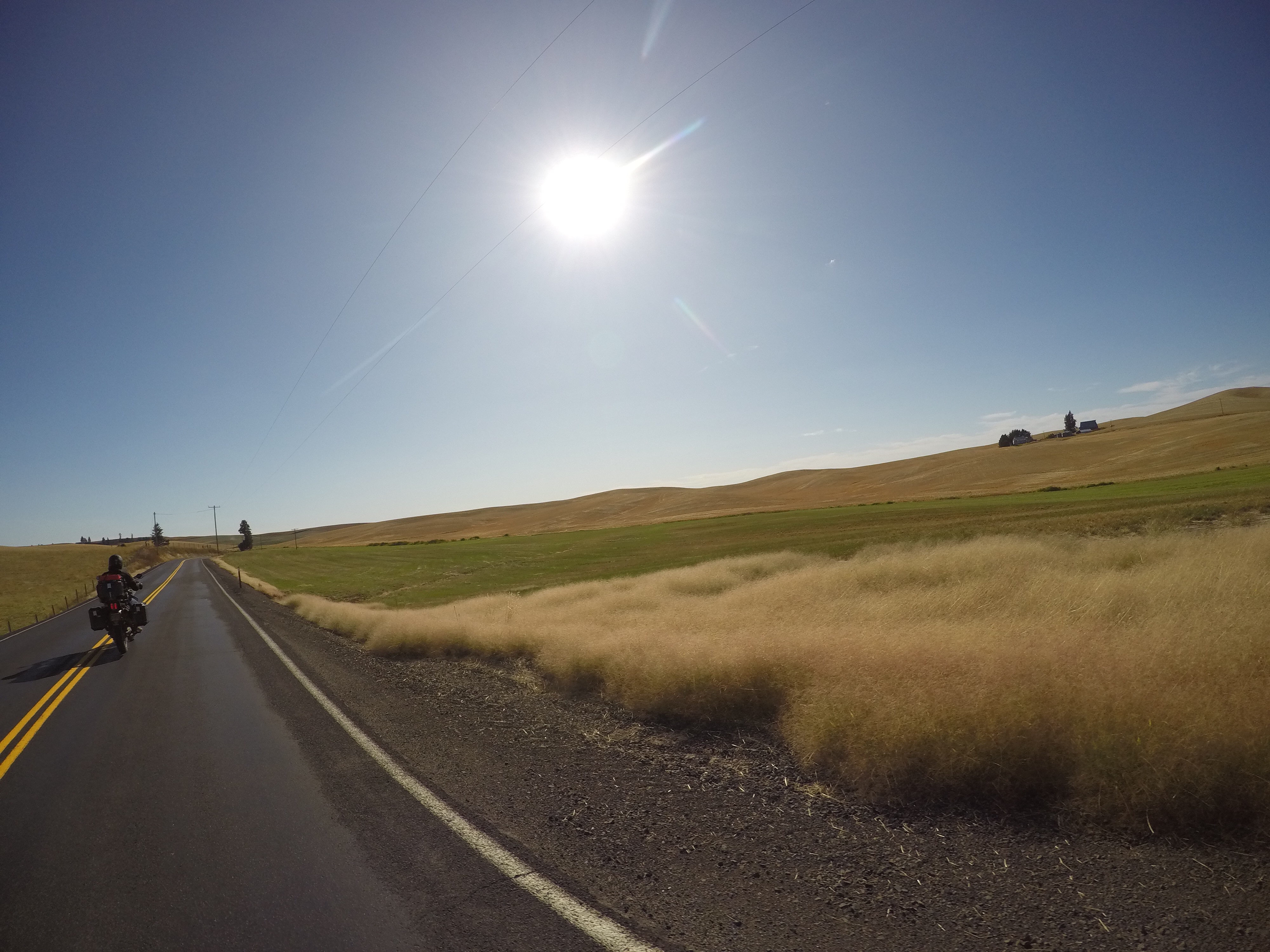
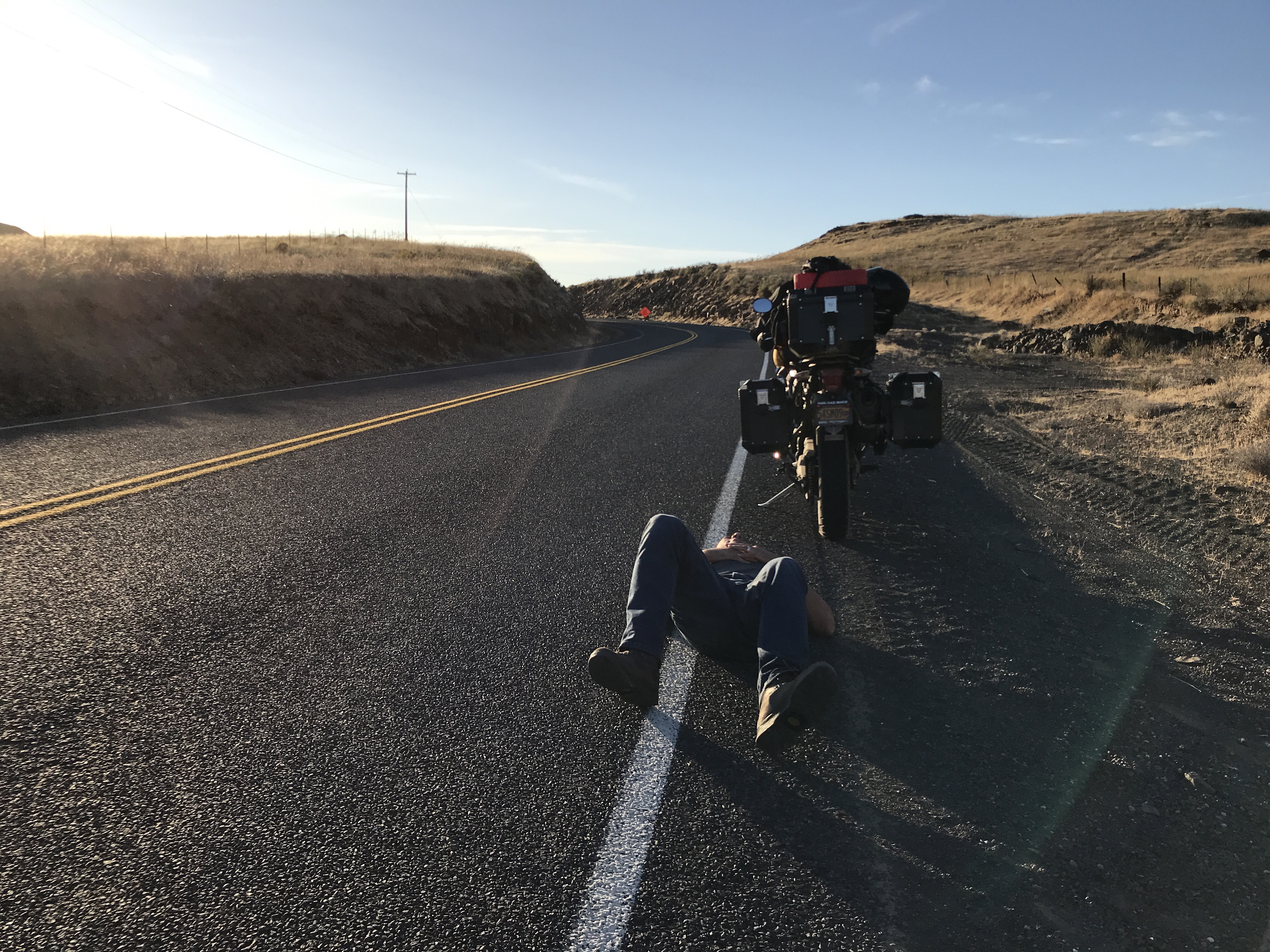
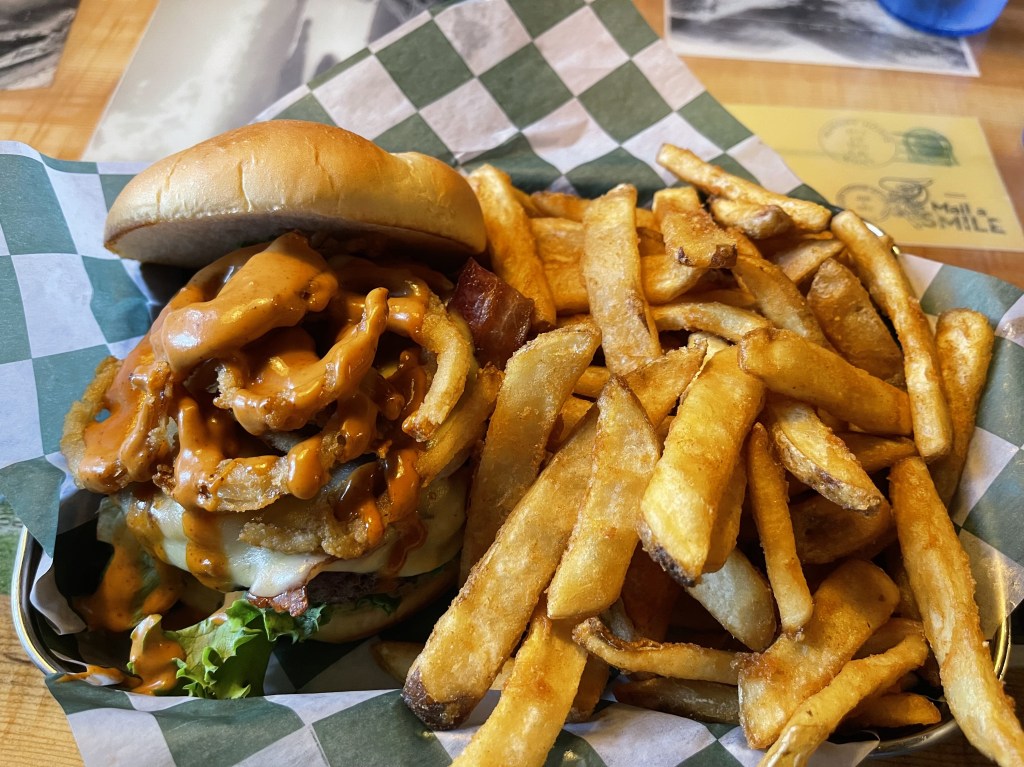
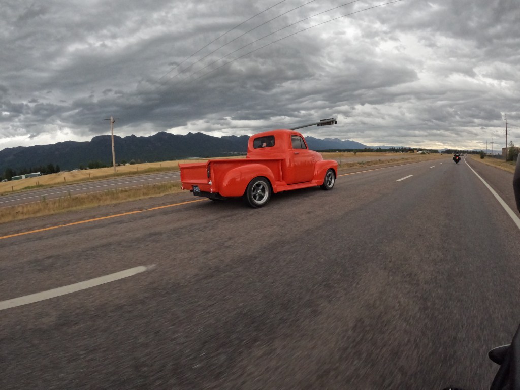
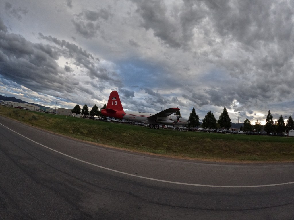
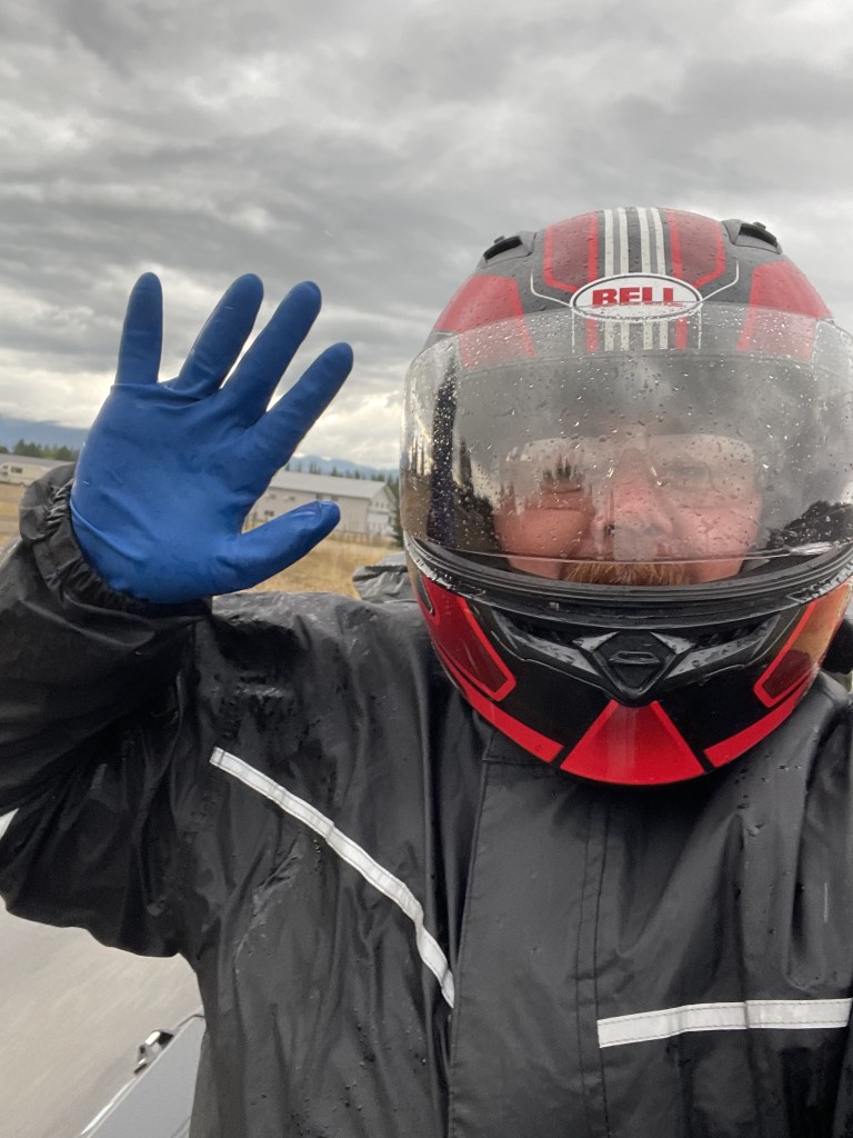
Shortly after we left the park and found a place to get some grub, Paul Bunyan Bar and Grill, which was excellent. Because Glacier was the pinnacle of the trip, we were deciding where to go and what to do next. So, we decided to go through Idaho. We headed down to Missoula and it rained along the way. When we got to Missoula, we found a Quality Inn, which we paid over $200 for.  We were told Missoula is a massive growing city in Montana and it was also moving-in weekend for college students. Overall another fantastic day!

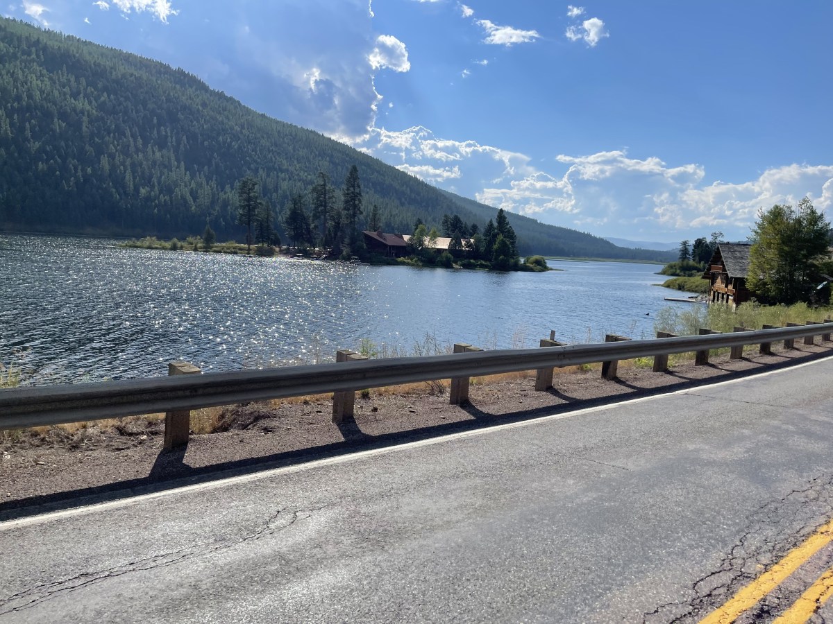
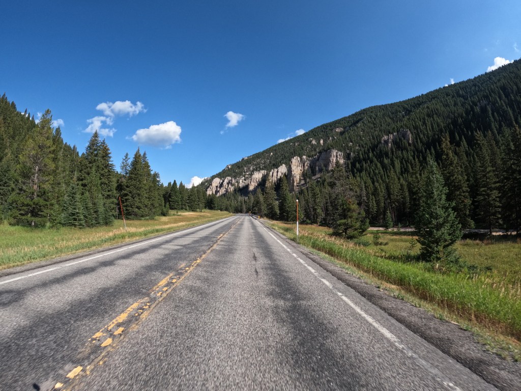
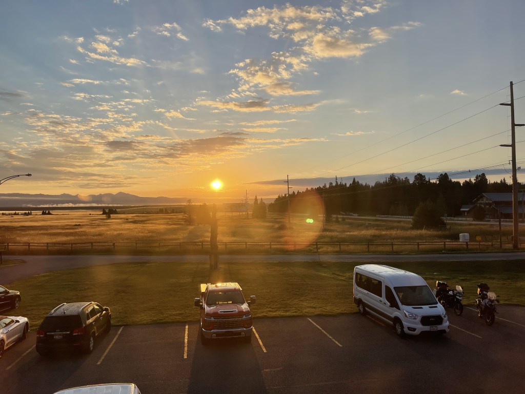
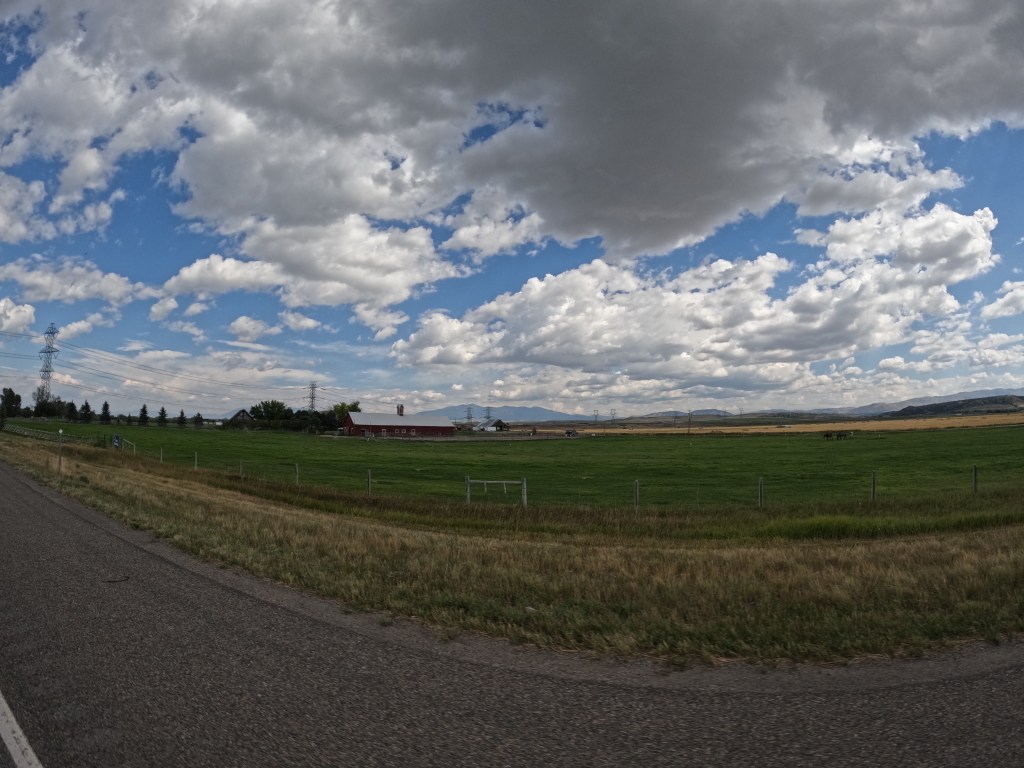
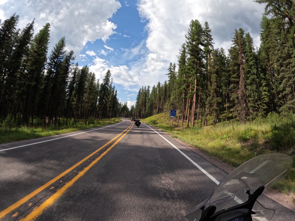
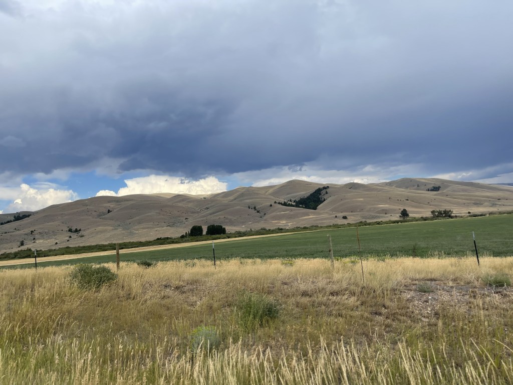
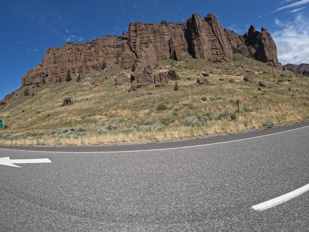
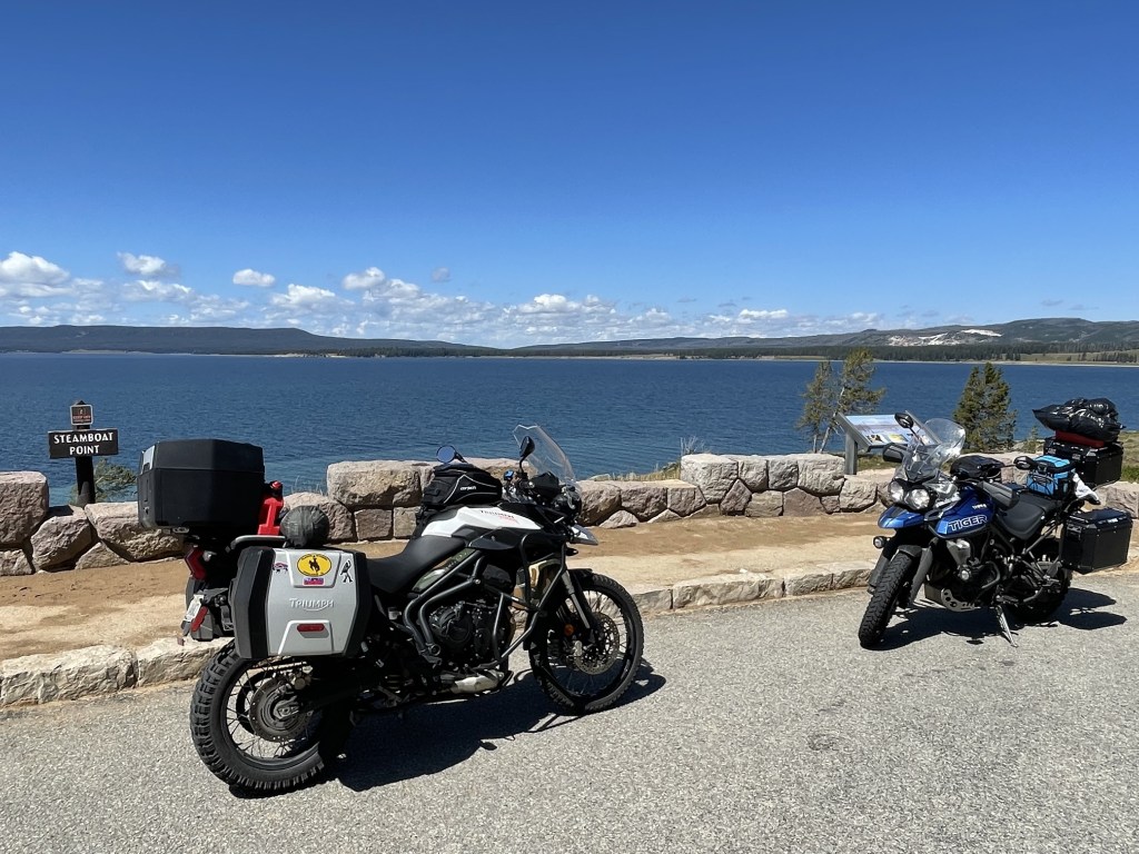
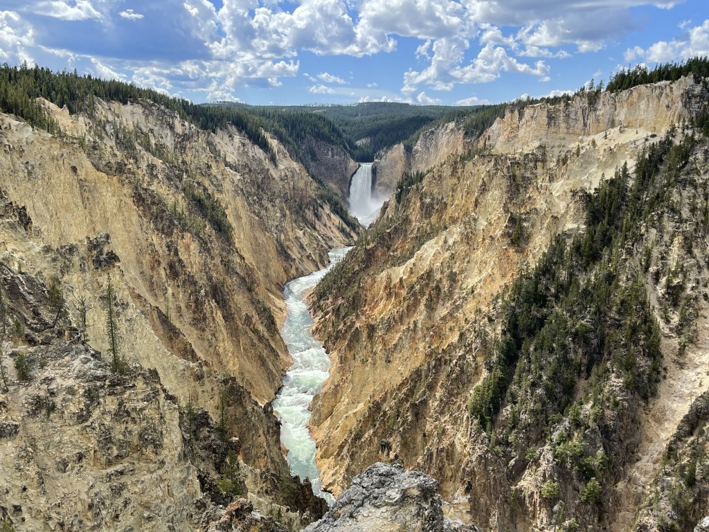
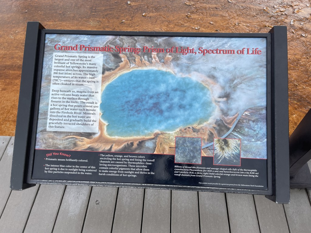
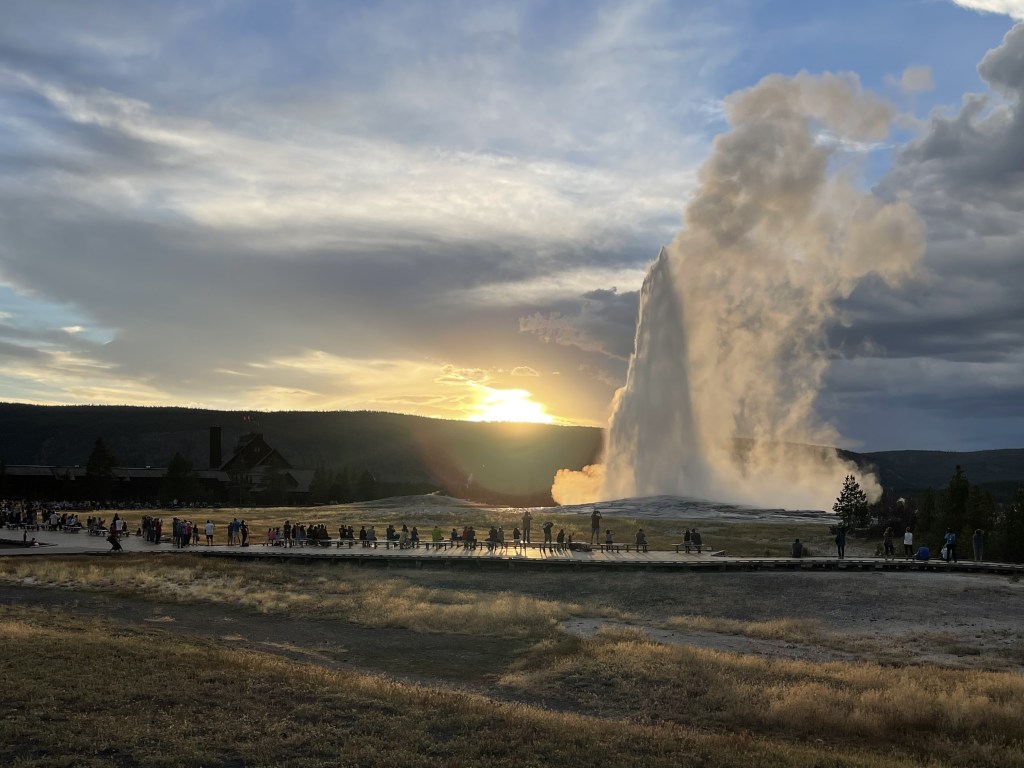
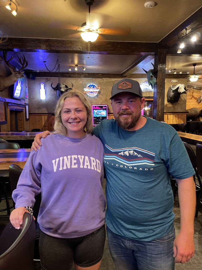
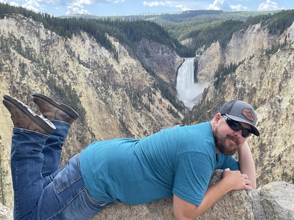
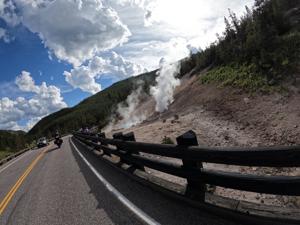
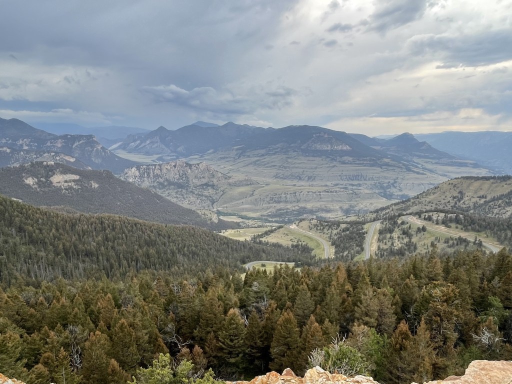
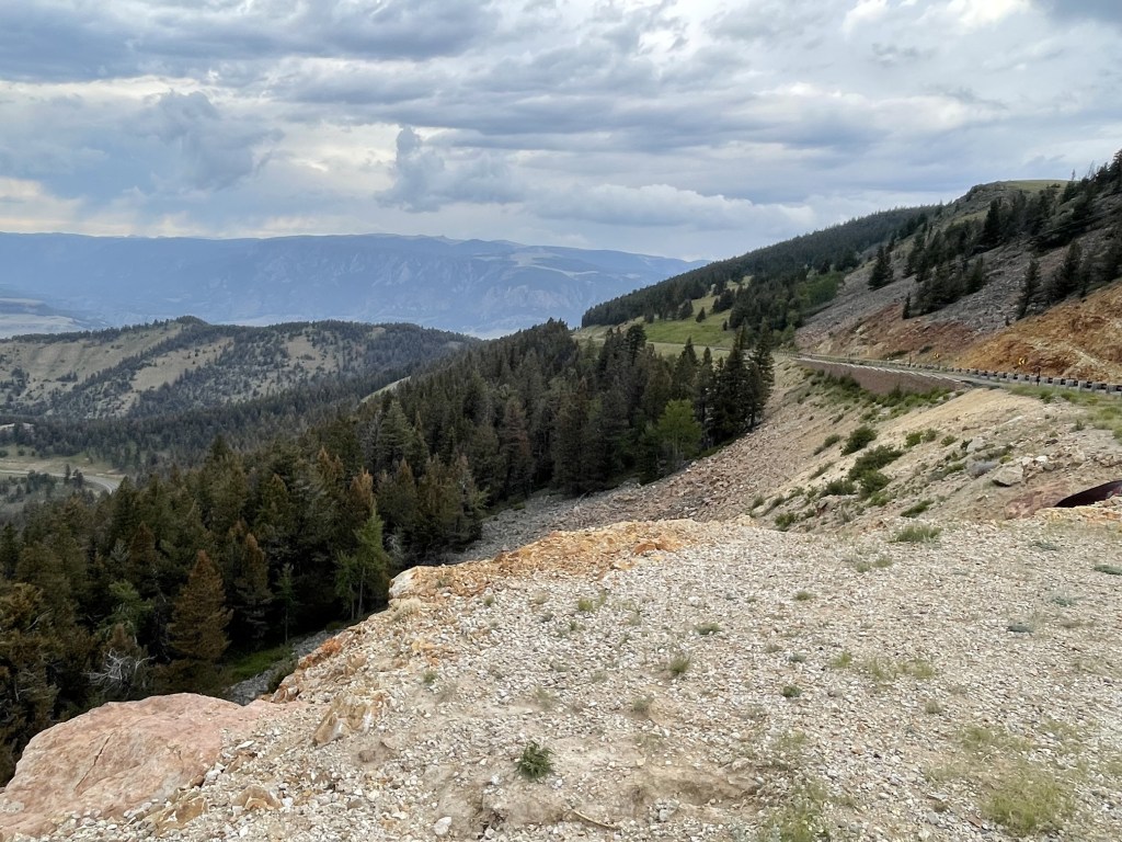
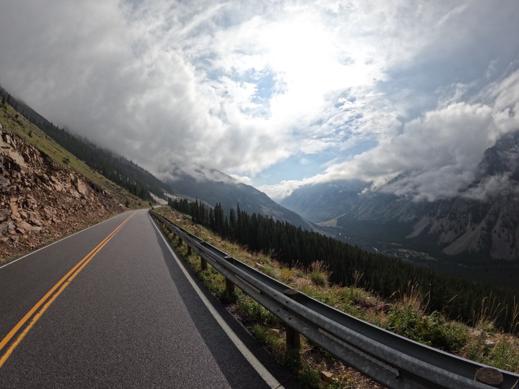
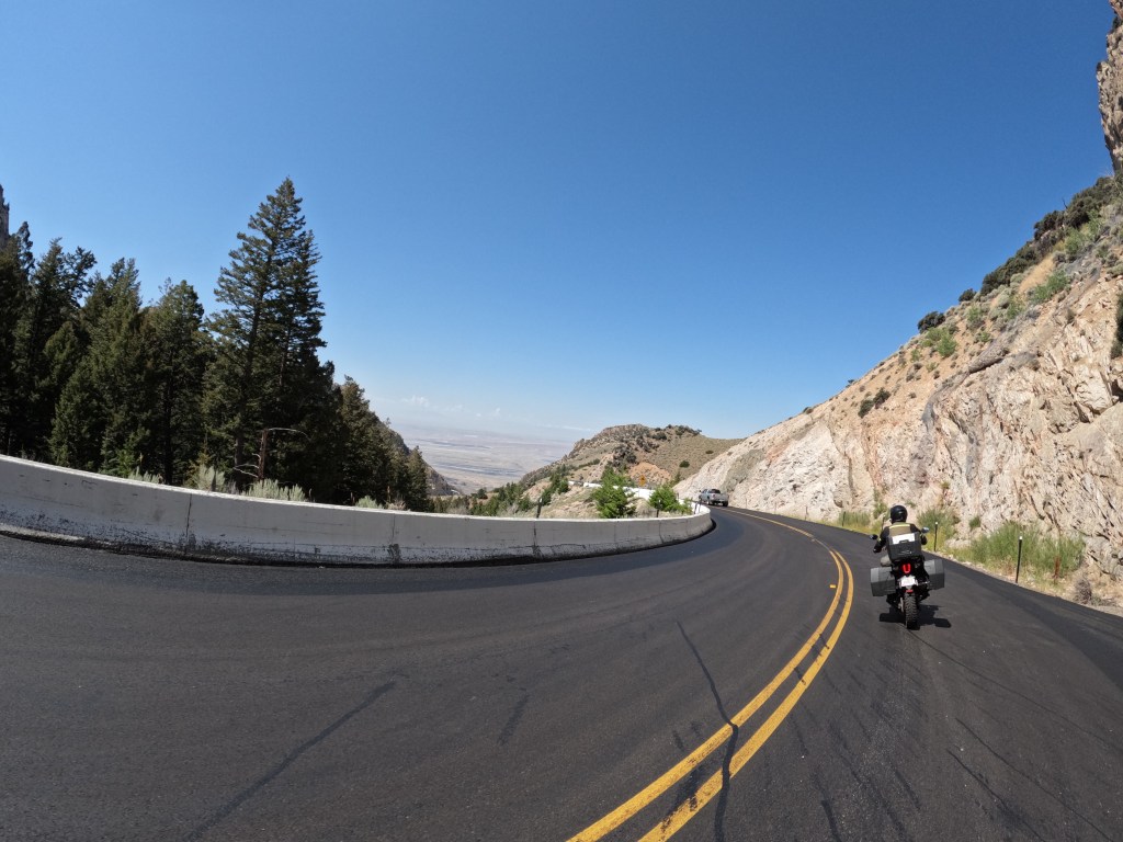
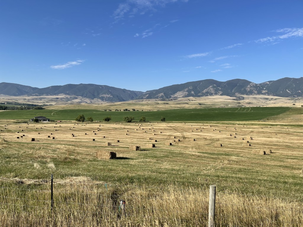
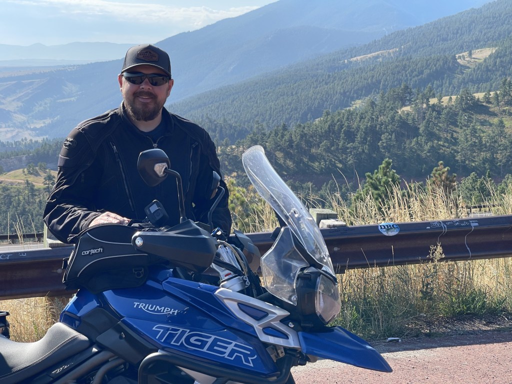
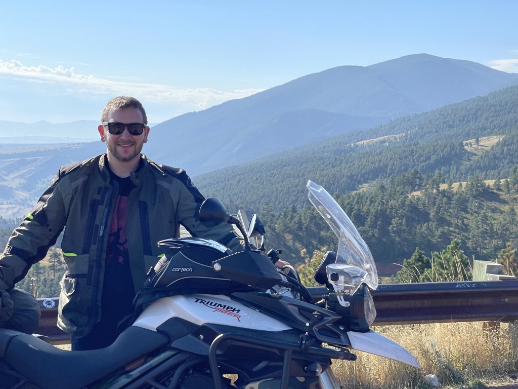
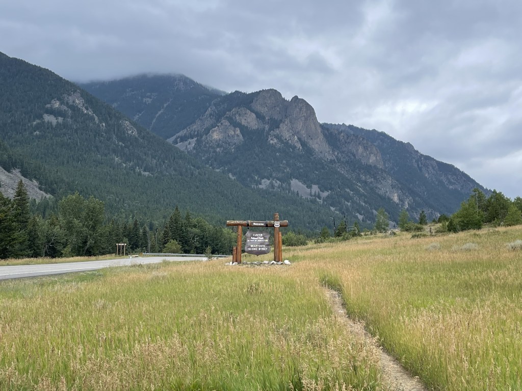
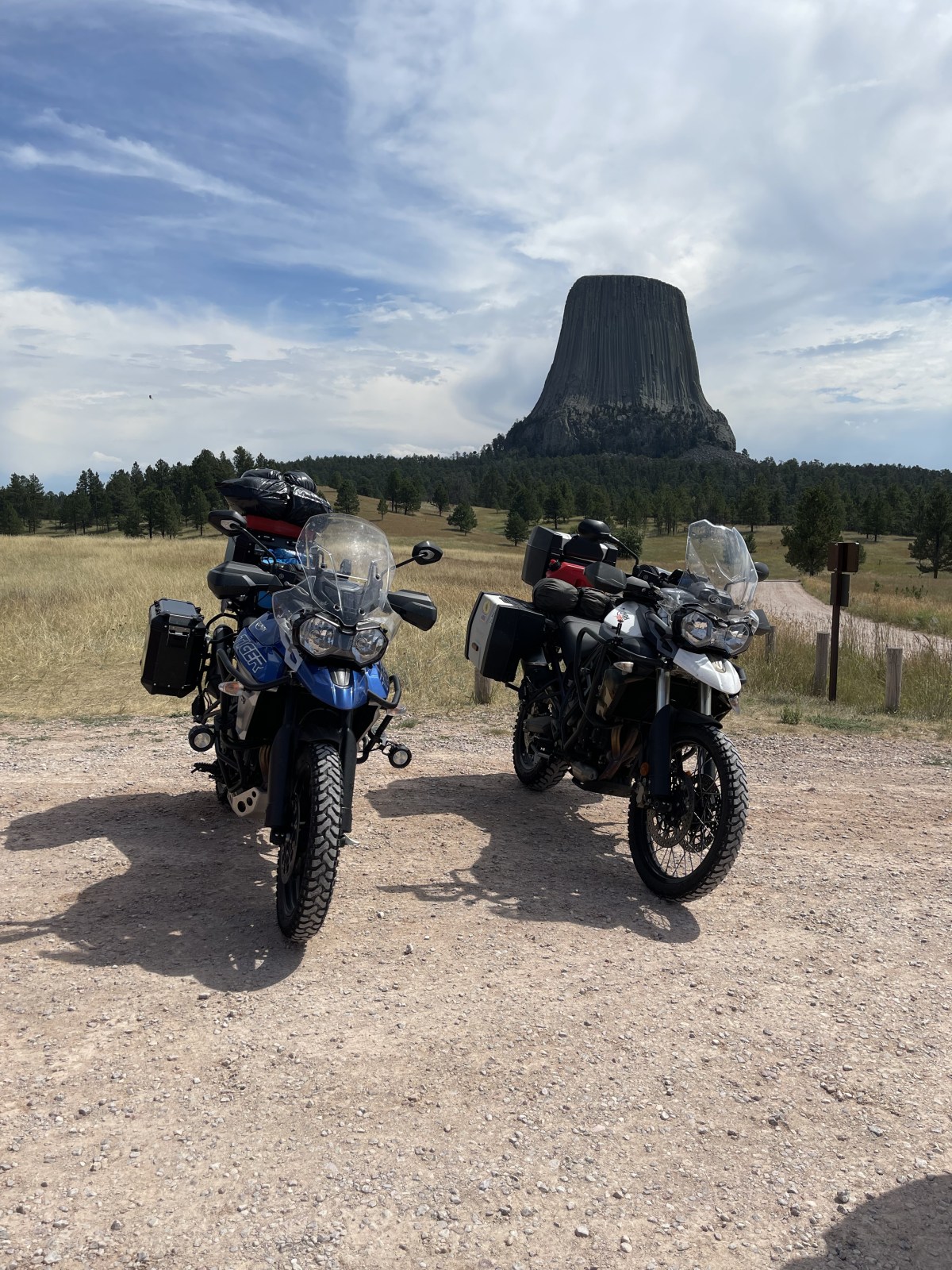
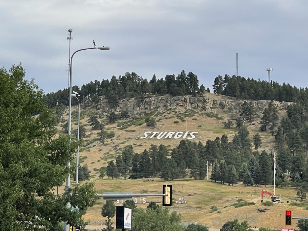
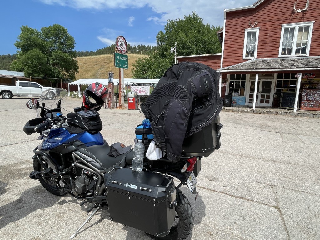
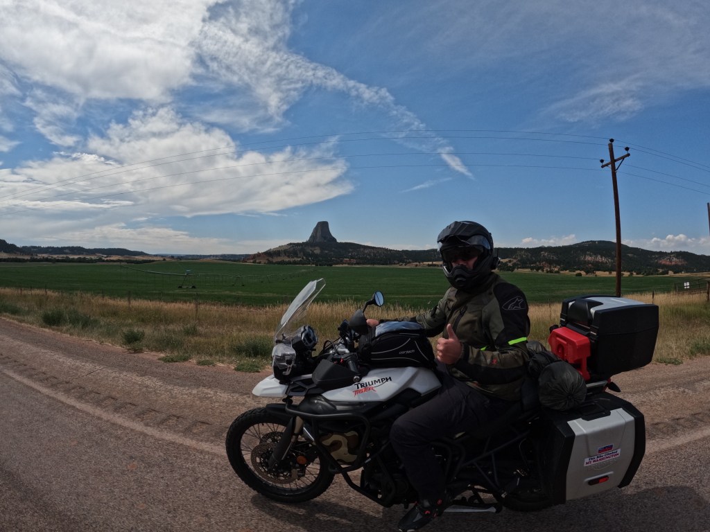
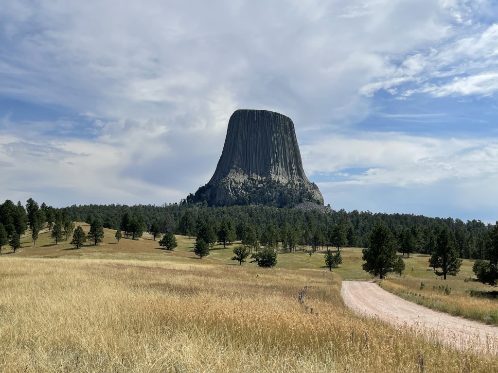
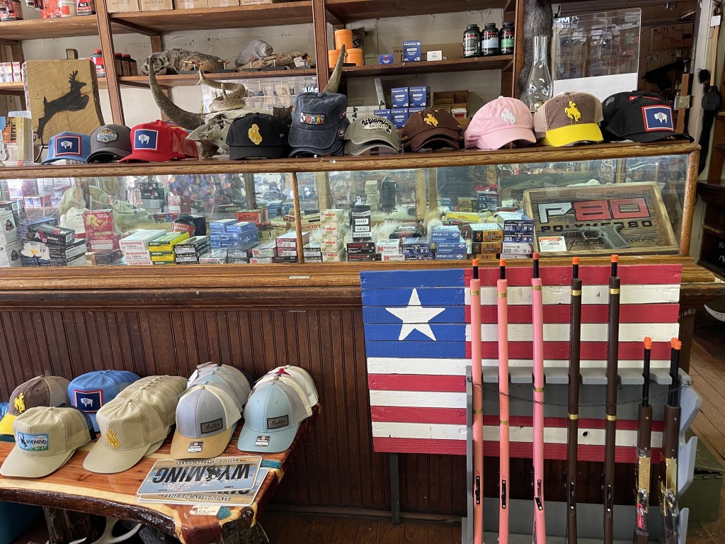
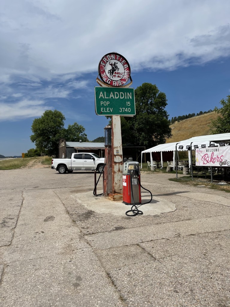
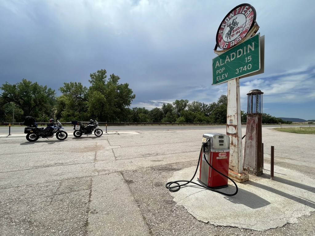
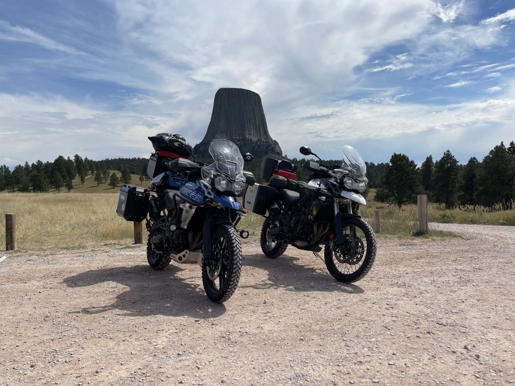
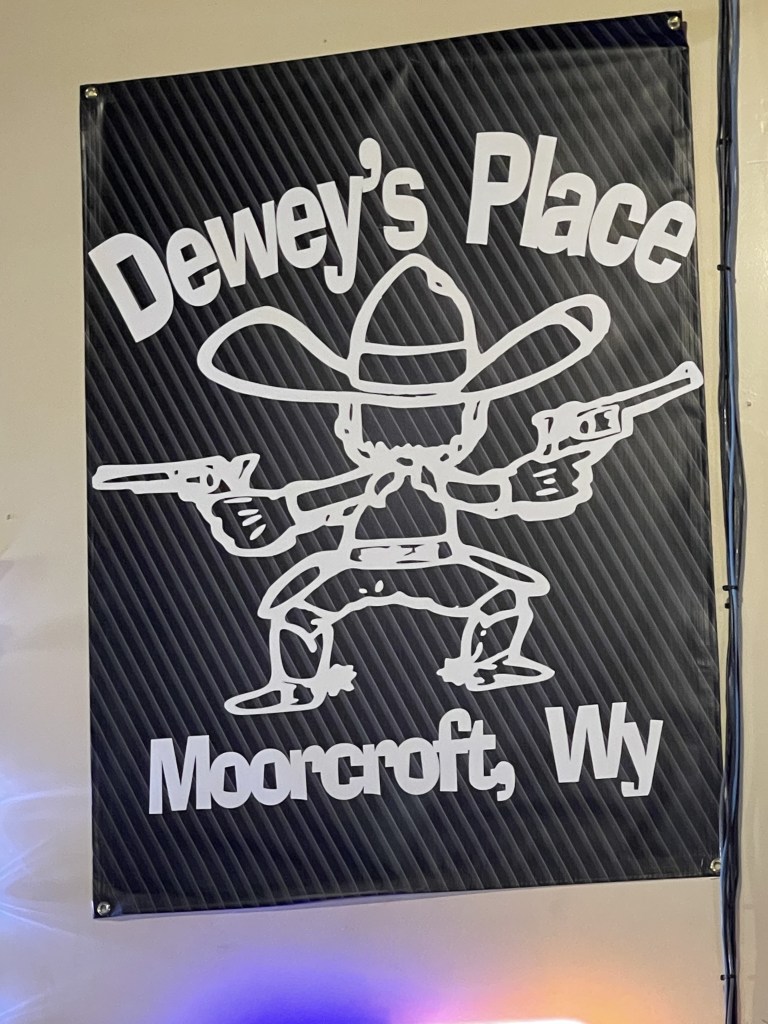
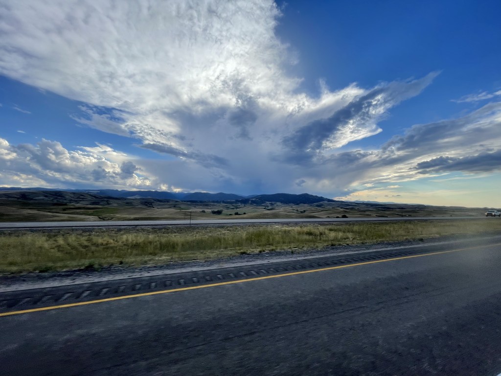
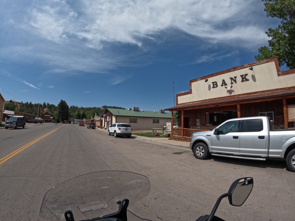
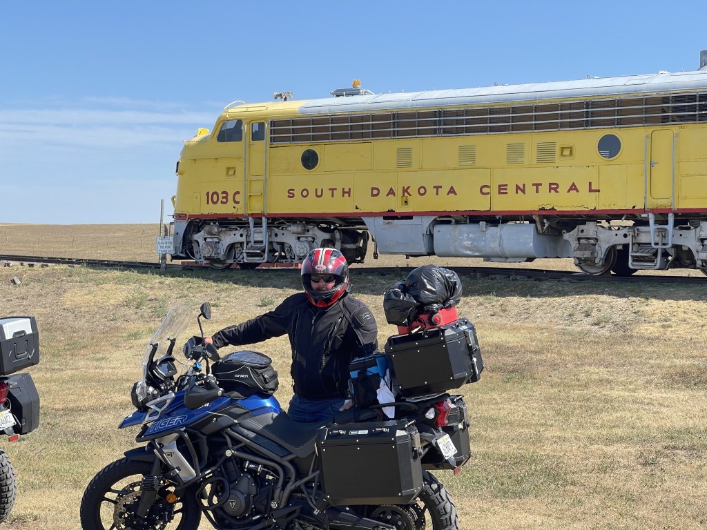
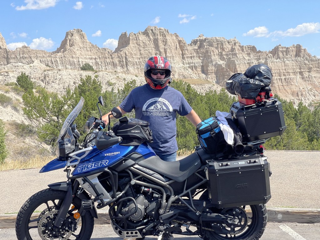
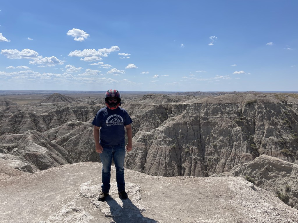
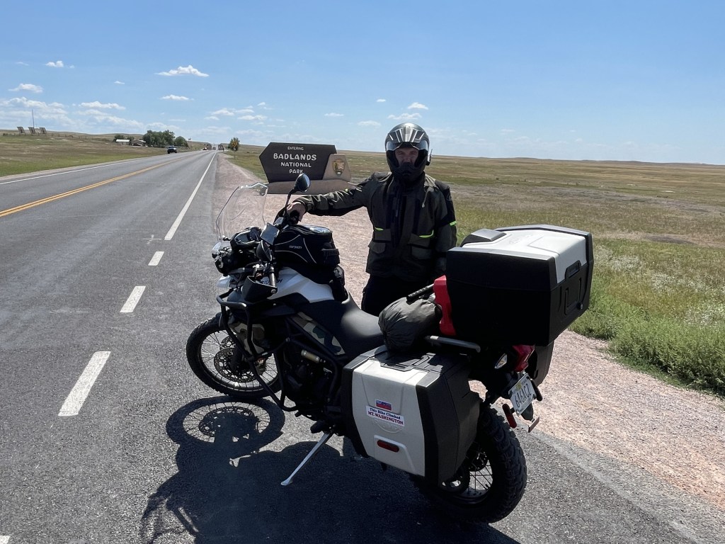
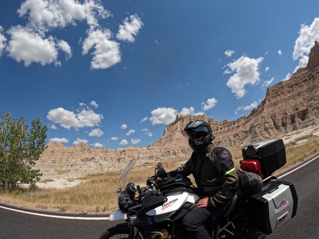
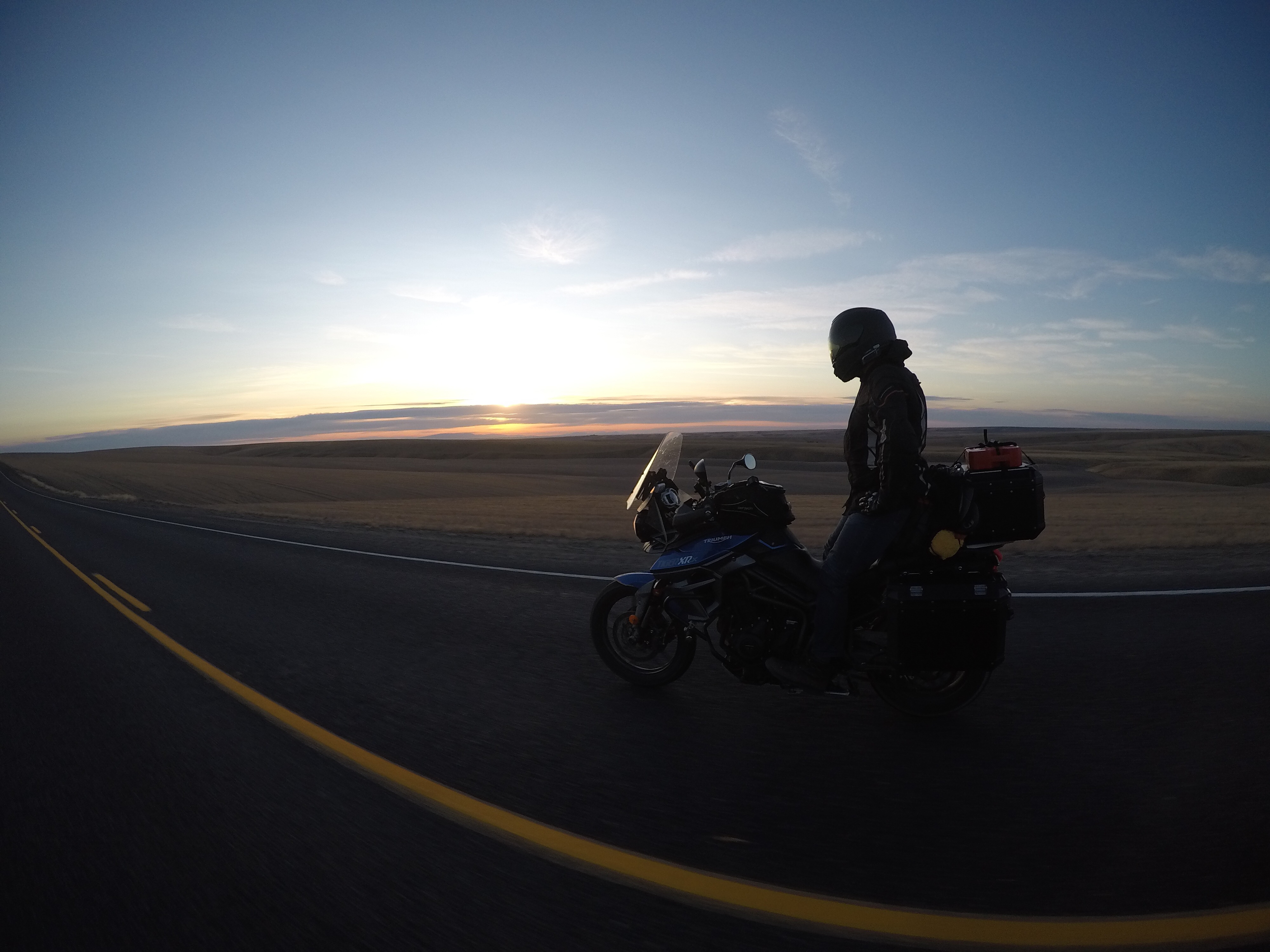
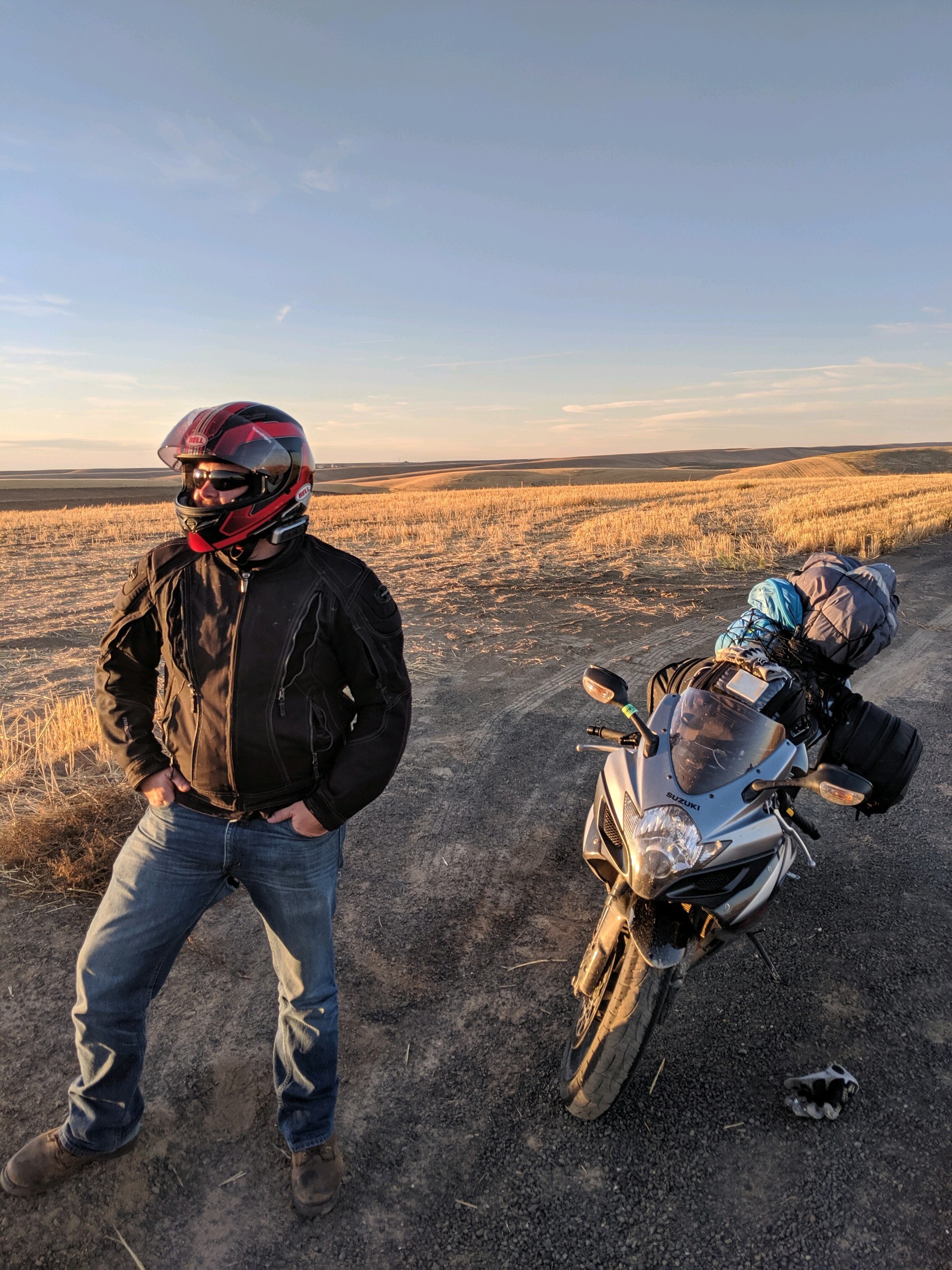
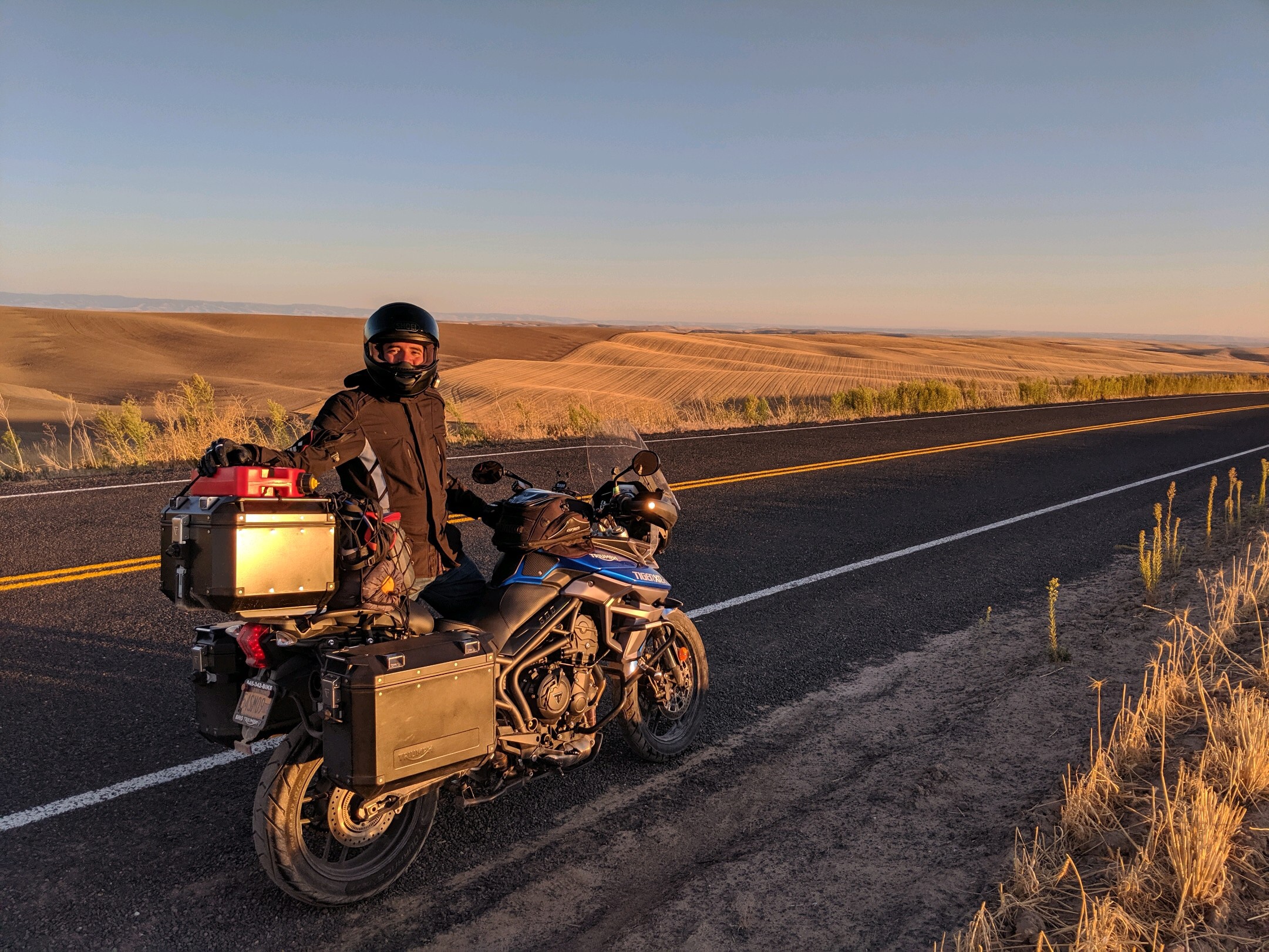
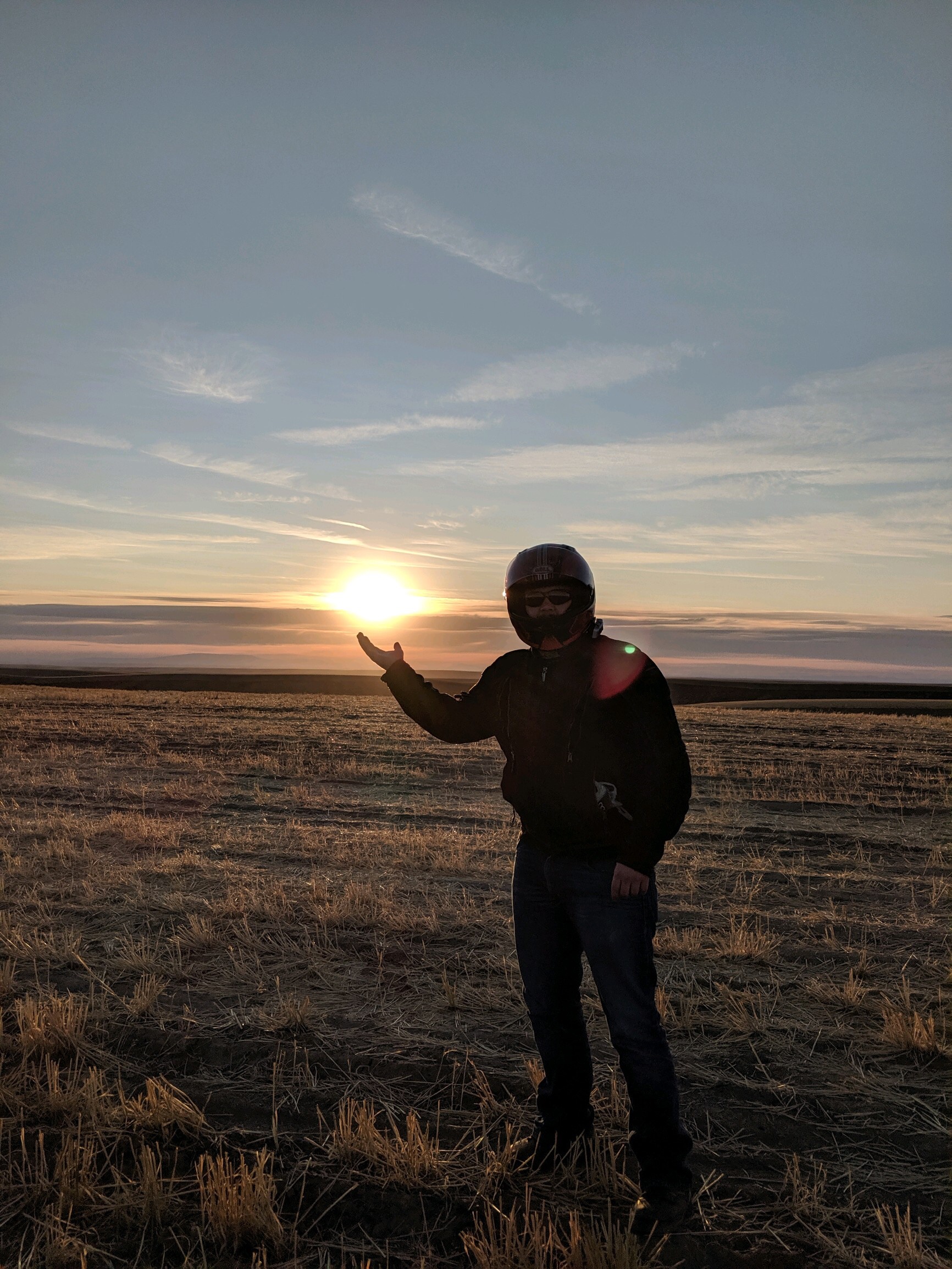
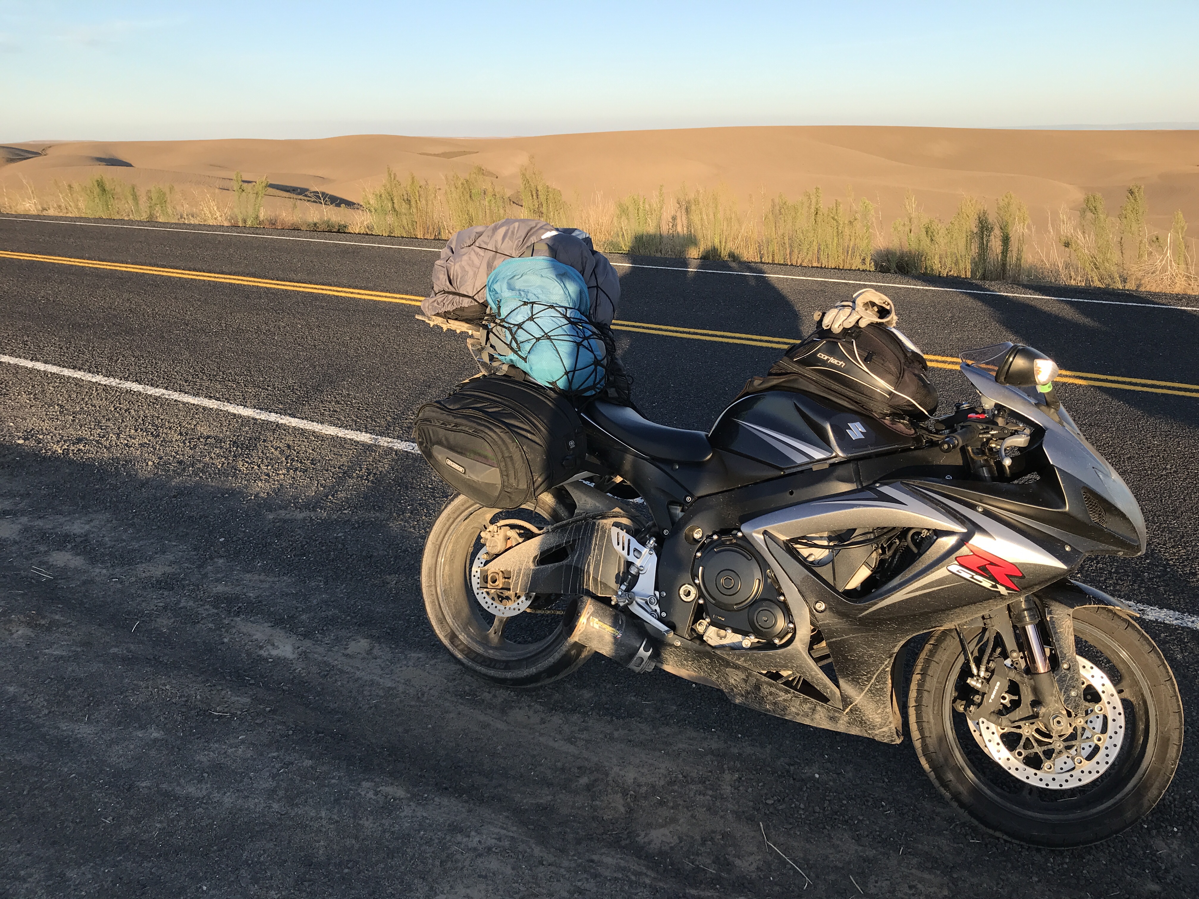
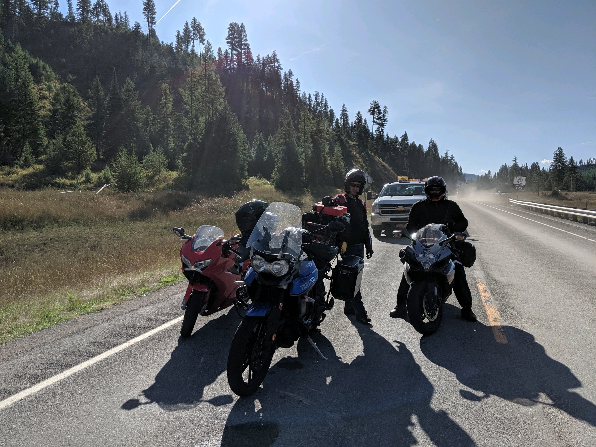
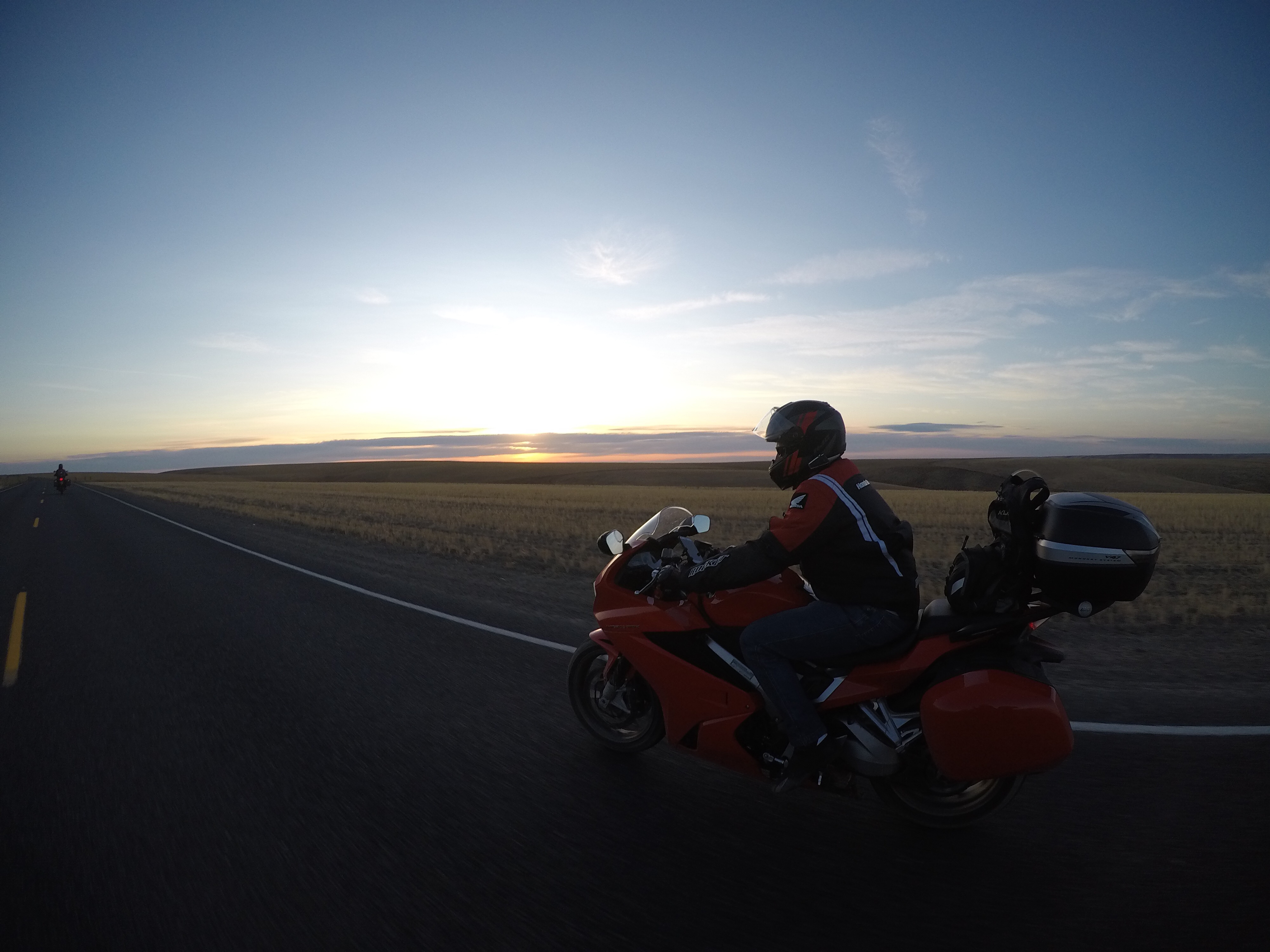
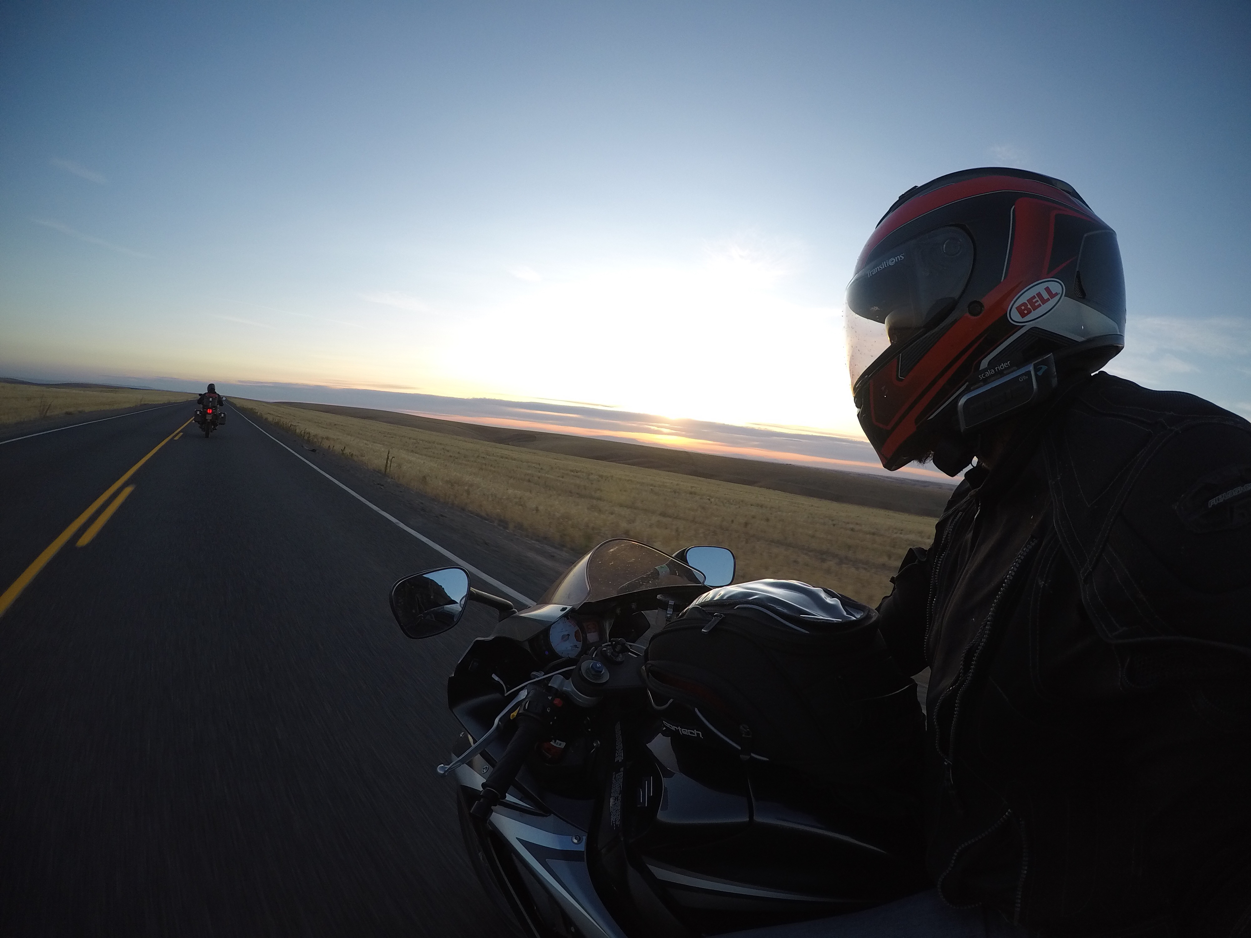
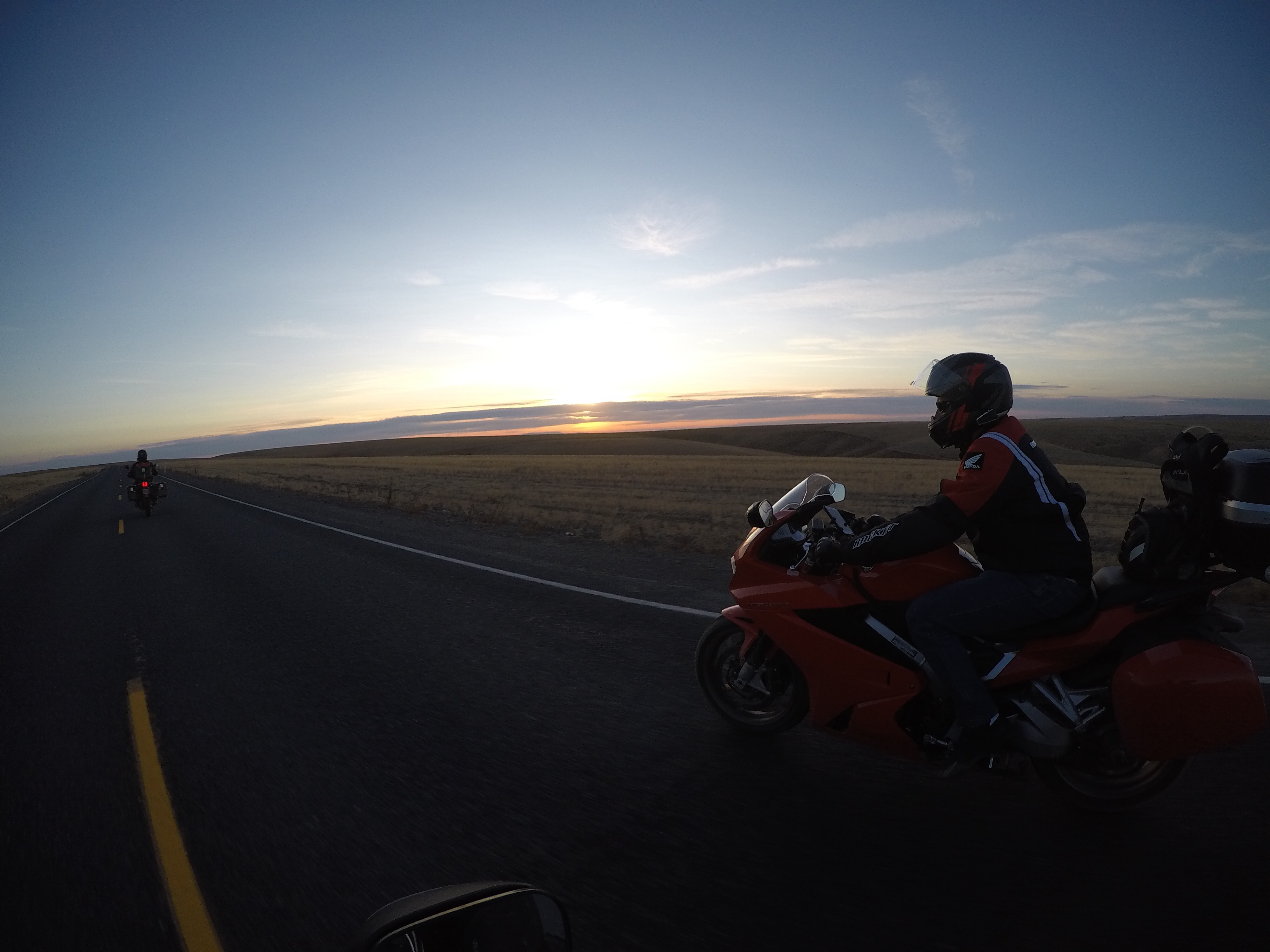
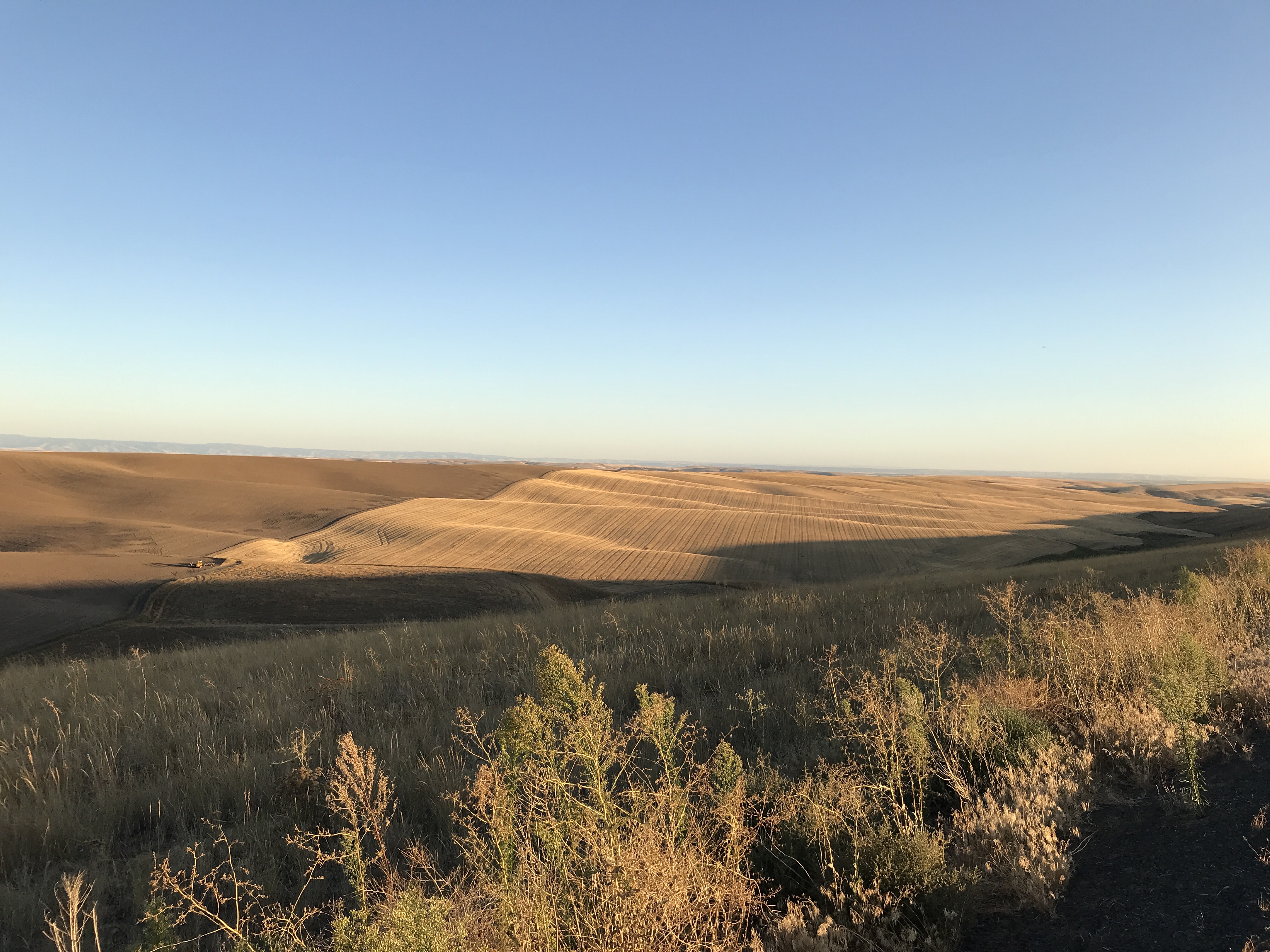
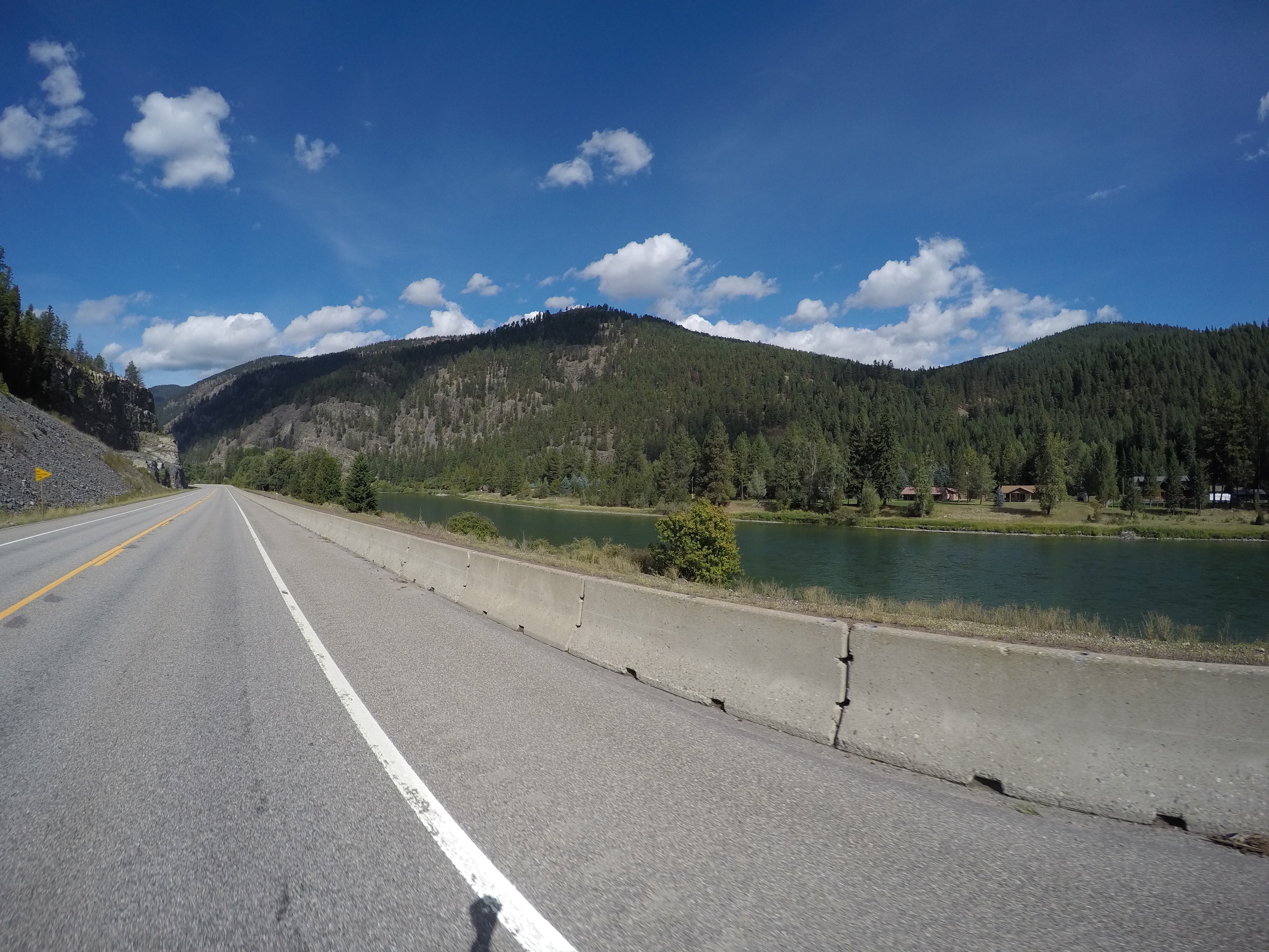
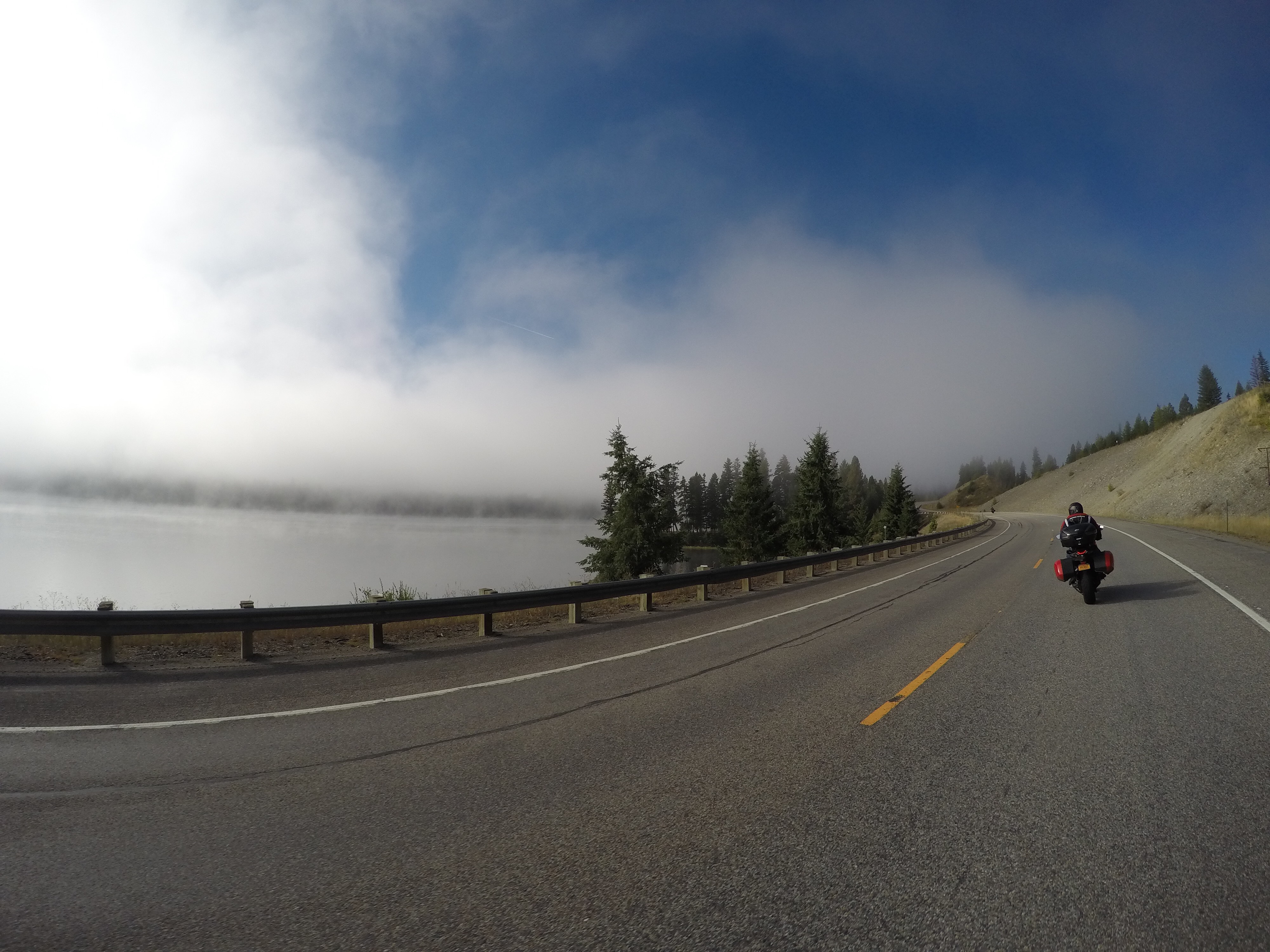
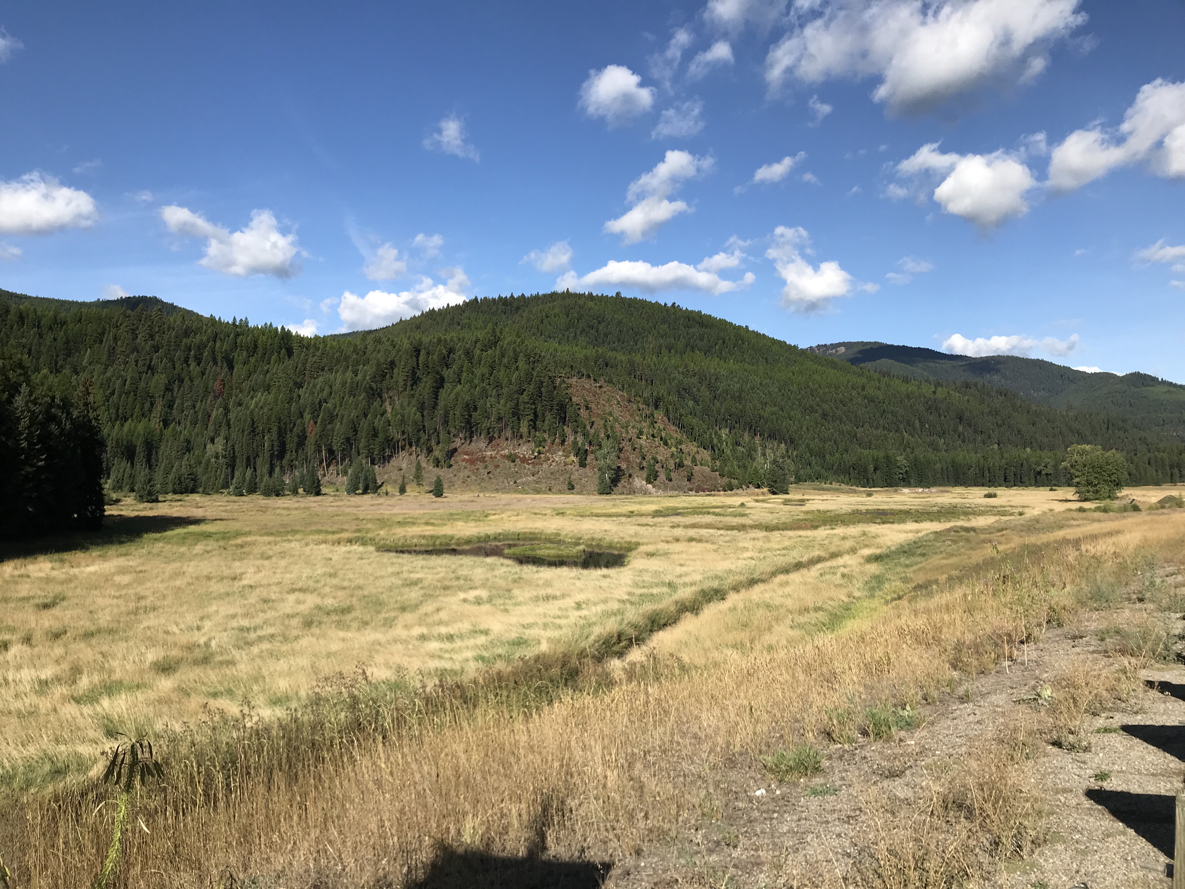
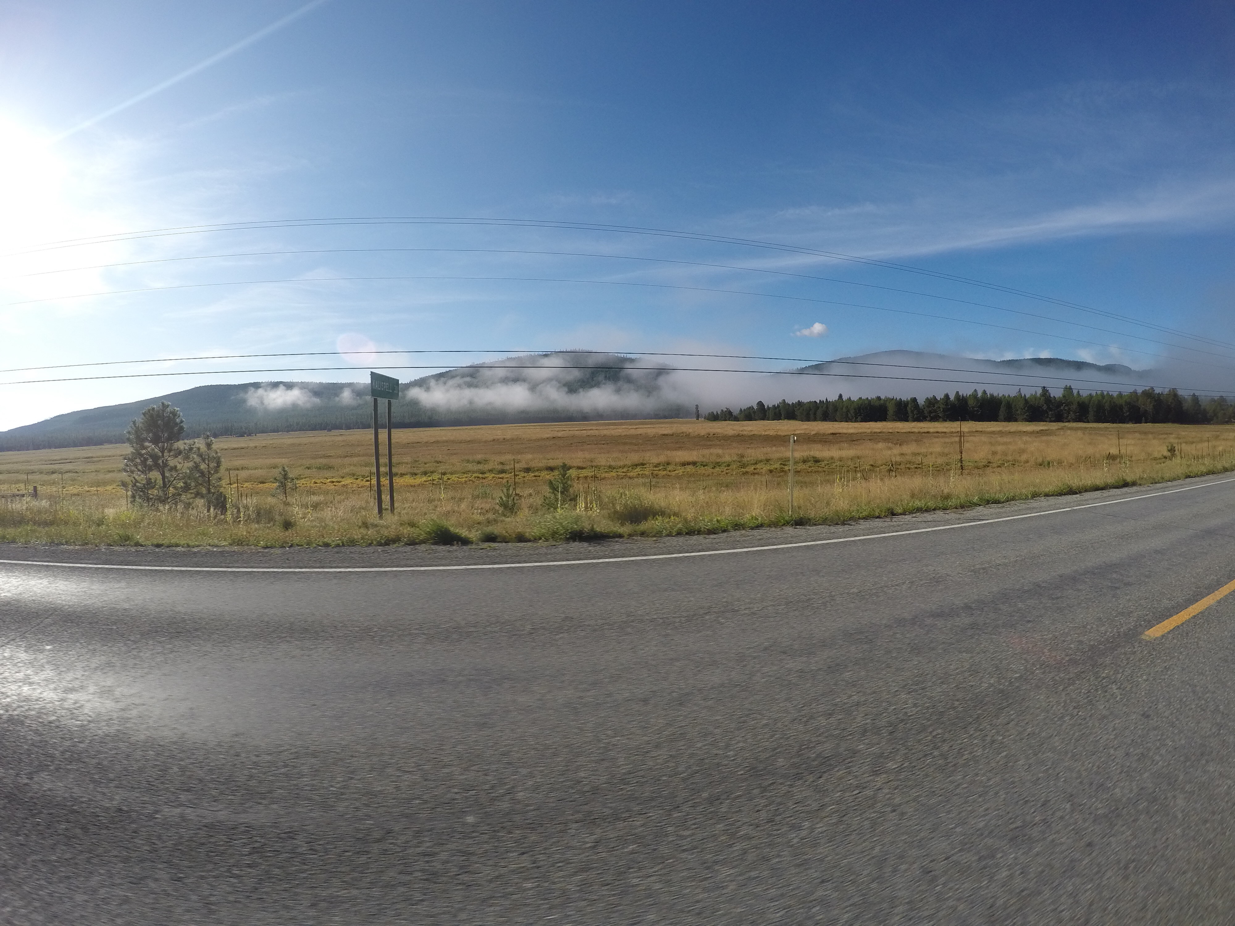
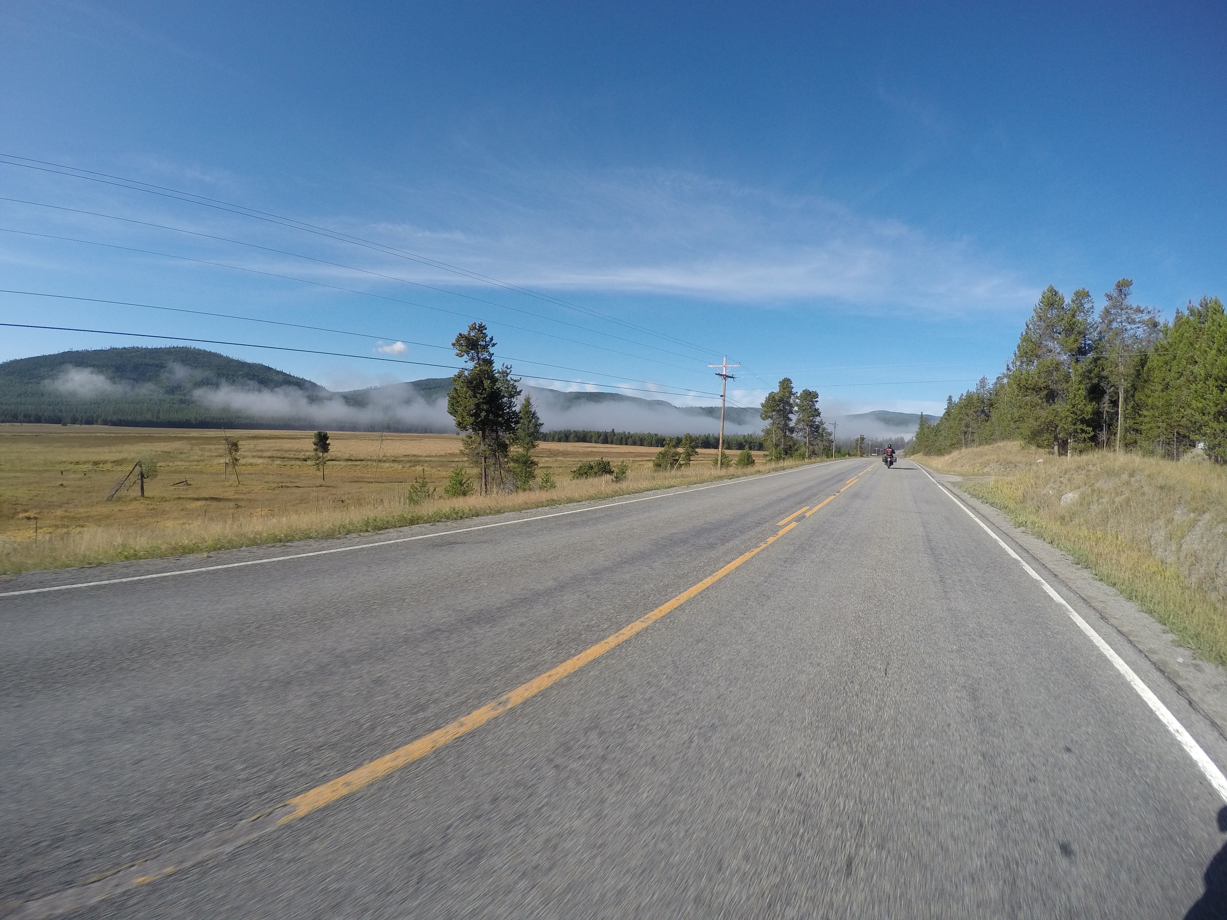
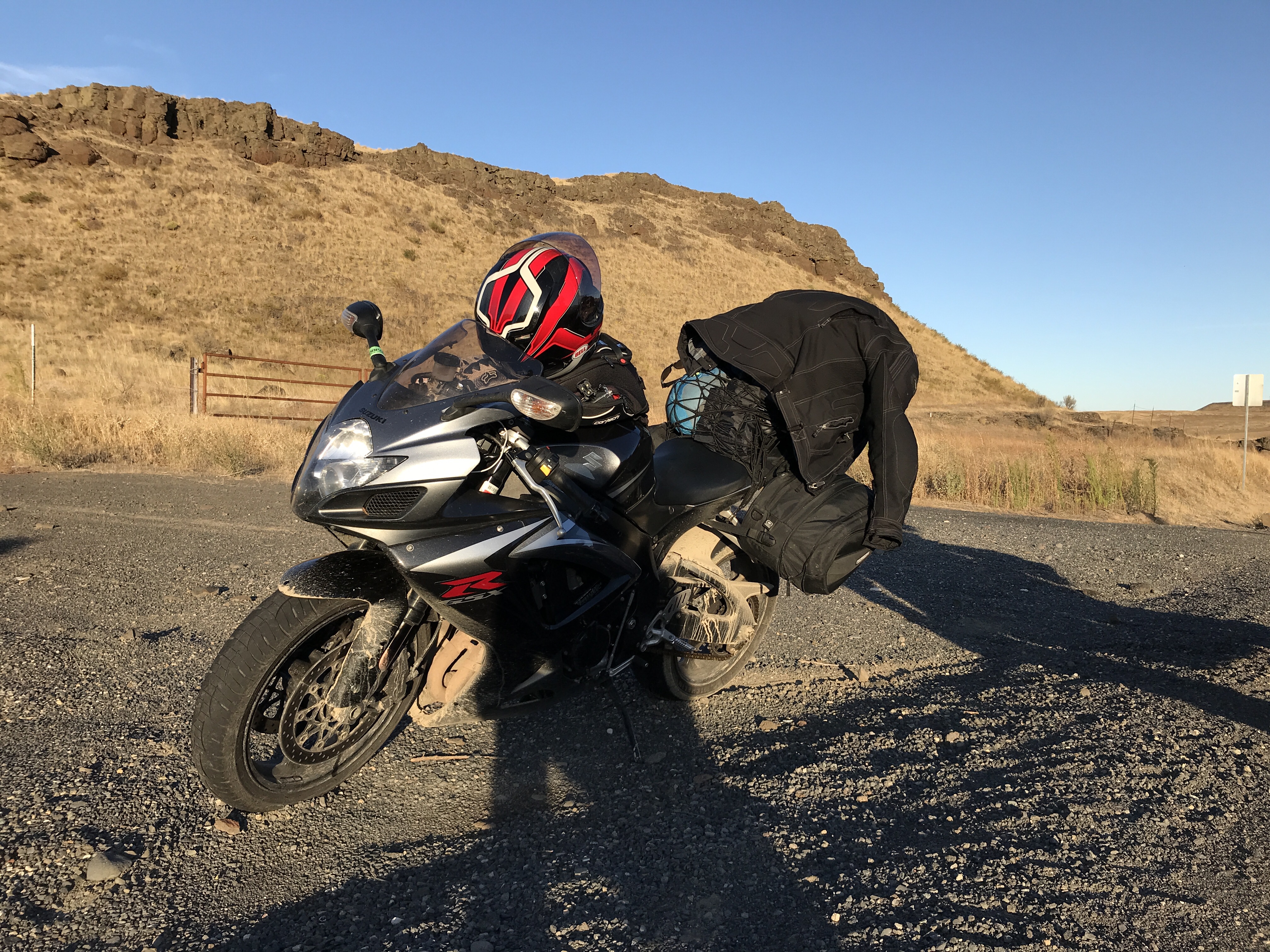
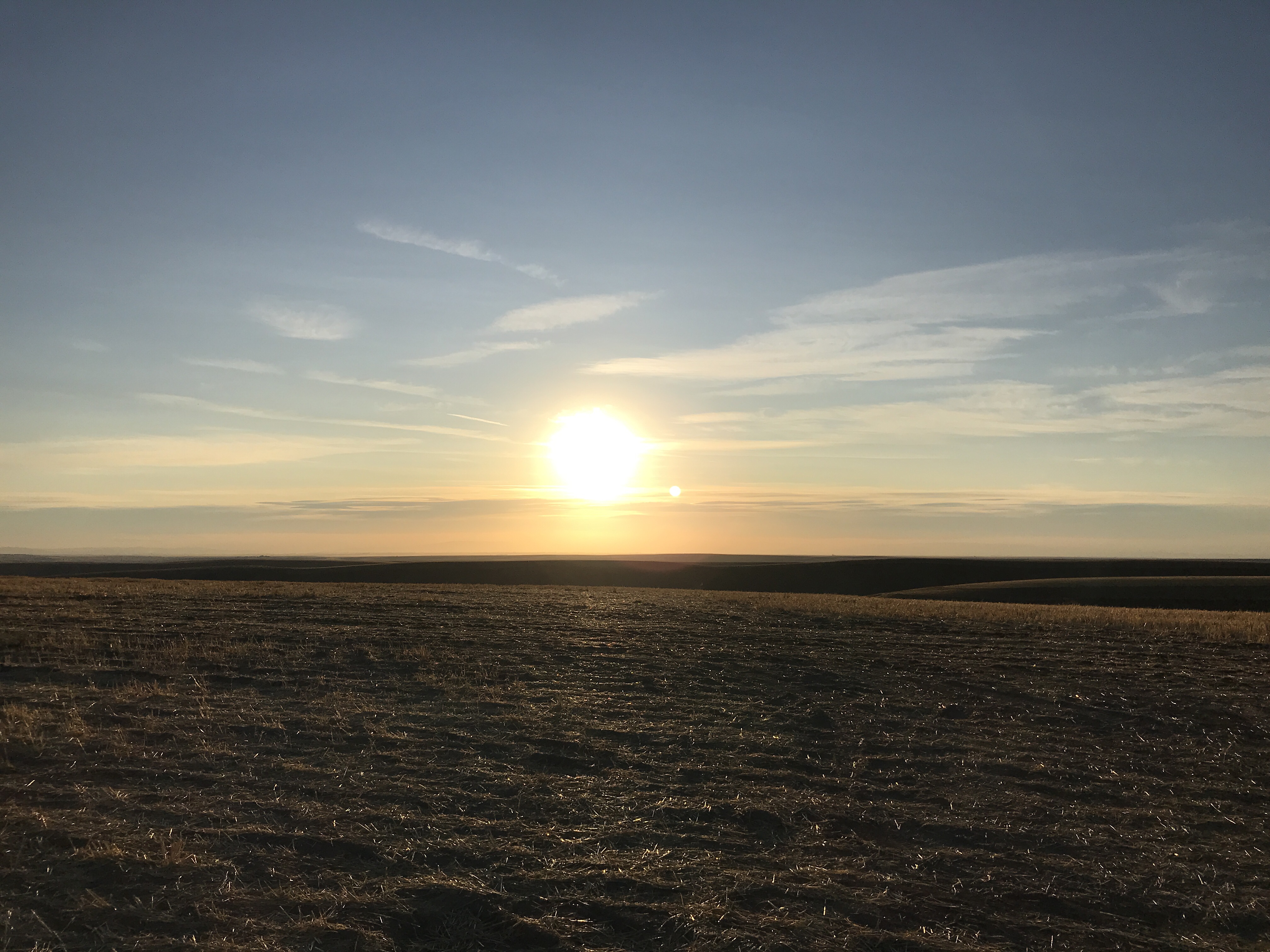
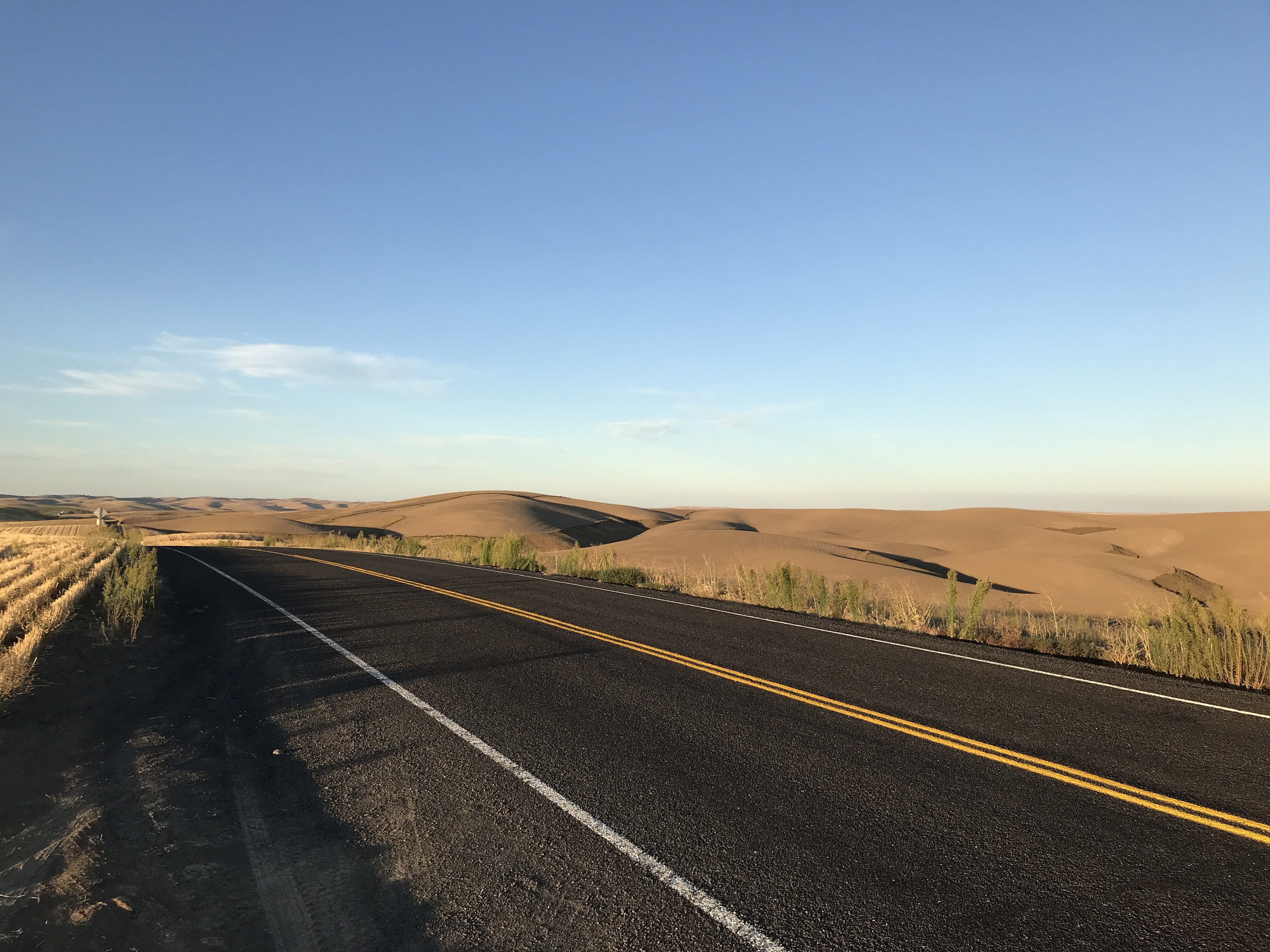
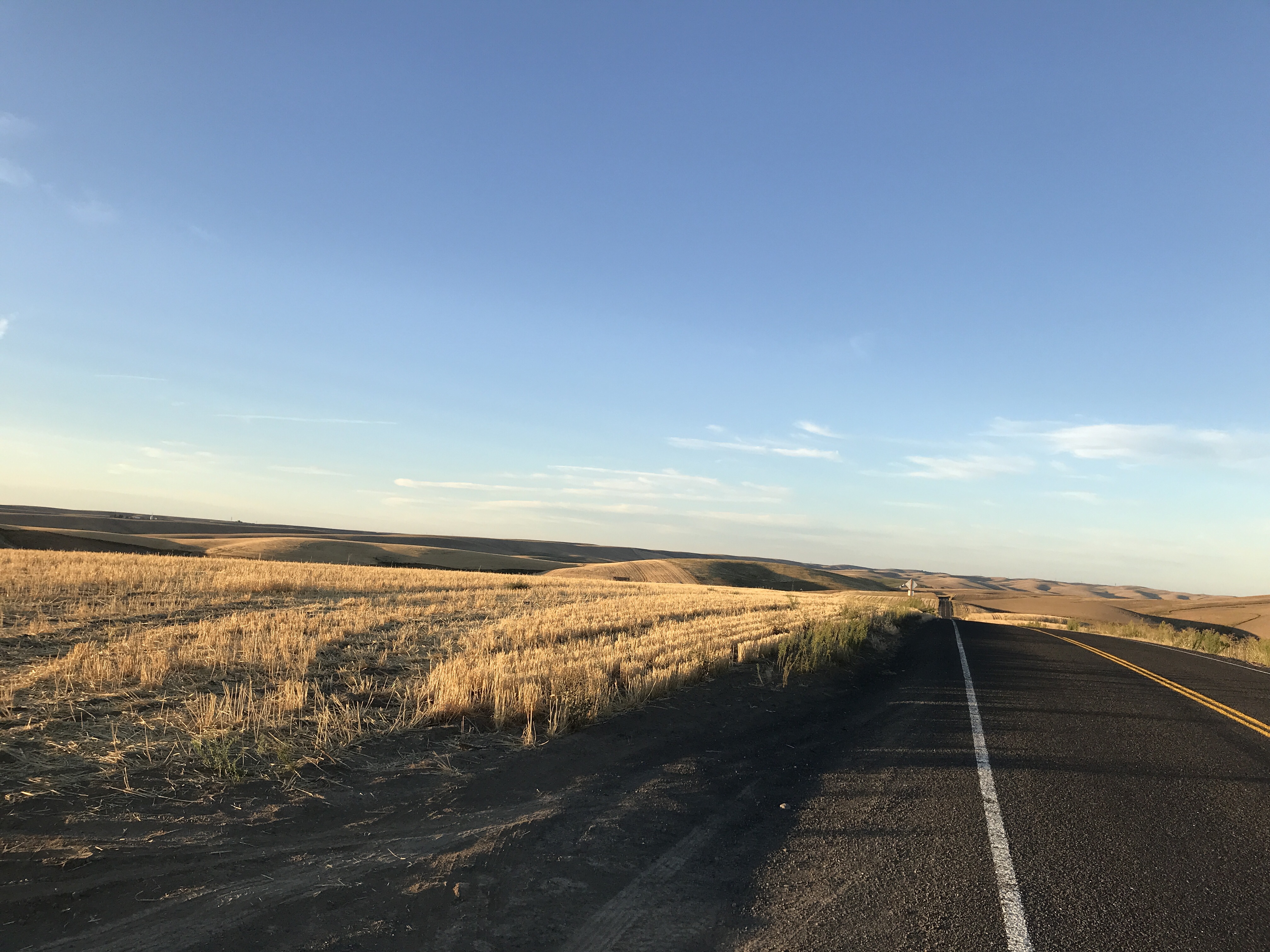
More photos: Day 8 Photos

To help support my blog and my future trips, please visit my Venmo

Cross Country Trip 3: Day 7

We left West Yellowstone and headed to Kalispell, MT. Kalispell is a growing city about 45 minutes west of the West Glacier entrance. We headed up route 191 through Big Sky, MT to Belgrade, MT.  It was going to be another long day so we didn’t stop to see the ski resort in Big Sky. Route 191 goes along the Gallatin River. It’s a beautiful meandering road in the valley through the Custer-Gallatin mountains.

We continued on and into Belgrade, MT on our way to Helena, MT. Between those towns, it was mostly flat and there were a lot of farms. When we reached Helena, we filled up right next to Missouri River Brewing Company, so we stopped for lunch.  They had really good food! While we were eating, it seemed like it was going to storm so we stayed a little longer to wait it out. 

Well, we didn’t have much luck. When we left, we headed right into another storm.  We could see it coming. It was like a wall of rain. We pulled over and suited up JUST in time.  We were heading up route 279 through Flesher Pass which was also suggested to us from a Facebook group.  It’s located in the Helena-Lewis and Clark National Forest. It was a nice road but right when the good turns started, the rain came so we couldn’t enjoy it like we would have liked to. 

When we got to the end, we took route 200 to route 83 all the way up towards Kalispell. This is a really nice area! Route 83 goes passed Salmon Lake, Seeley Lake, and through Flathead National Forest. I believe they are Douglas Fir trees that you can see right off the road. They’re not as big as a redwood, but they’re still cool to see right along the road.

We arrived in Kalispell with about 400 miles on the day. We stayed in a Hampton Inn and did some laundry which was perfect. I was running out of clothes. While waiting for the laundry to finish, we went across the street to get McDonald’s, but their indoor dining was already closed. I ended up using DoorDash to order McDonald’s because they wouldn’t allow us to walk through haha

More photos: Day 7 Photos

Cross Country Trip 3: Day 6

It was a crumby morning. We started late because the weather radar was showing rain ending about 11am.  The first hour or so it was raining as we left Cody on our way to Yellowstone National Park. By the time we got to through Shoshone National Forest, it was clear and sunny so we took our rain gear off. Luckily for us, it turned out to be a beautiful day!

Cody is about 50 miles east of the eastern entrance to Yellowstone National Park. We got to the park and shortly after we saw a bison laying in a field which is always cool to see. We continued along the massive Yellowstone Lake and through the park. We stopped at Fishing Bridge General Store where I knew they had a cafeteria, because I was hungry! haha. We ate quick and tried to make our day at the park efficient. It helped that I was there before and knew what we should check out.

We did the main loop from the general store by heading north on Grand Loop Road along Yellowstone River and stopping along the way. The first big stop in the direction we went was Artist Point. From Artist Point, there is a spectacular view of the Lower Falls and the canyon. The canyon is also known as the Grand Canyon of Yellowstone. The walls of the canyon have been carved out by erosion over the years and they’re about 1,000 feet tall.

From there, we headed to Lower Falls. There is a nice little hike down to a concrete pad right where the waterfall begins. This is a sight to see! Its is a 308 foot waterfall that pours The mist that comes up from the fall leaves the canyon covered in green on the light colored rock formations of the canyon where the water breaks. The colors of the canyon are a result of hydrothermal alteration of rhyolite and rusting of iron in the rock as well.

Once we had enough, we hiked back up. It’s a little bit of a workout, but totally worth it! We hopped back on the bikes and made our way to Grand Prismatic Spring. Along the way I saw a bison coming out of the woods into a field so we stopped to check it out and get some photos and videos. Once he disappeared back into the woods, we continued on.

Further down the road, we passed Fountain Paint Pots and stopped to check it out. This was unique. It is essentially a hot spring with little water. So, hydrogen sulfide gas is emitted from the volcanic activity below the crust and rises through the muddy clay. When this happens, it forms muddy bubbles which bulge and burst. It’s really neat to see!

From there we headed to Grand Prismatic Spring. From an aerial view, this is an amazing hot spring to see. This spring is the largest in the United States and the third largest in the world. It is about 120 feet deep, about 370 feet long, and about 160 feet wide. There are bands of colors which look like a rainbow. This phenomenon happens due to temperature gradients in the water and the bacteria that live in each temperature gradient in the water. The bulk temperature of this spring is about 160 degrees Fahrenheit!

While walking around, we noticed there was a bison right alongside the road on the way to Old Faithful.  We got the cameras ready so we could get good photos of it. Unfortunately, as we got closer, it made its way further from the road, but we were still close enough to get a really good view.

We got to Old Faithful Geyser just after seeing the bison. We must have just missed the eruption, but hey, that’s why they call it Old Faithful! It’s predicted to erupt about every 90 minutes. There are about 500 geysers in total in the park, but most of them are unpredictable. We waited until the next eruption and just hanging out. In the distance we were watching a wicked thunderstorm. By the time Old Faithful erupted, the bulk of the storm passed in the distance. We JUST missed it.  The temperature also dropped to about 45 degrees. It’s not fun riding in cold, wet conditions.  

We left the park and headed to West Yellowstone. My cousin was on a cross country trip to Seattle and she happened to be in West Yellowstone too. So, we met up with her and had dinner with her and her friend at The Buffalo. They had delicious food and it was cool to be able to meet up my cousin in the same town while both adventuring this beautiful country. We only did about 190 miles, but it was another awesome day!

More photos: Day 6 Photos

Cross Country Trip 3: Day 5

We left the hotel and stopped at Walmart to look for some micro SD cards. While there, someone saw our bikes and started talking with us and we mentioned we were headed to Beartooth Pass. He highly recommended it, so we were stoked. We left Walmart and headed towards Dayton, WY. I wanted to take route 14 through Big Horn National Forest because there is some gorgeous scenery.  I went through there in 2019 on my last cross country trip and I really wanted to go through there again. Before getting to Dayton, we took a long dirt road. It was the same road I took as last time. It was a lot better on the Tiger Triumph since it is an adventure bike!

From there, we reached Dayton and got onto route 14 where there are some really fun turns and elevation gain. The views on the way up are amazing!  There are a few pull offs, so we stopped for some photos. We continued to meander our way up to the top.  Once we got to the top, we stopped for breakfast at Bear Lodge Resort. I remember is being a nice lodge, so I wanted to be sure we stopped. This time we arrived around mid morning. There were some others there and suggested we try their “famous” pies, so I had a piece of one of their “famous” pies.  Well, I had a strawberry rhubarb and it was flippin’ delicious! It did not disappoint! 

After eating, we got back on the bikes and continued on to Lovell, WY. The western section of Big Horn National Forest is spectacular with its rock formations and colors. We got some great views as we slowly descended the mountain due to road construction. We got to the bottom and it was like a desert continuing along route 14 between Lovell, WY and Red Lodge, MT on our way to Beartooth Highway (route 212). We decided to go up and over Beartooth Pass after Eddie asked a Facebook group which roads would be good to take.  Someone suggested Beartooth Highway. 

Just before getting to Red Lodge, we pulled off to take a break and lube the chains. We pulled off at the Smith Mine historic marker where you could see an old mine. Well, it was a tragic historic marker where 74 miners lost their lives in 1943 due to an explosion of methane gas. It was the worst underground coal mine disaster in Montana history.

Just up the road, we arrived in Red Lodge and fueled up. It was going to be a long distance until we would pass another gas station. We headed into Custer National Forest. Unfortunately, the weather was crumby and the views were not what we were expecting.  When we first got to started on Beartooth Highway, storm clouds were coming in.  Eddie had high hopes that the rain would hold off, but we weren’t so lucky!  We made it a few miles in and it started to rain and hail.  So, we decided to turn around so that we could enjoy the road when the storm was over.  We got into Red Lodge and looked for a place to wait out the weather in the mountains.  As we rode through the town, we could see the aftermath from the June 2022 floods. We rode by the one building and is was in bad shape. Check the link -> (https://www.foxweather.com/watch/play-5b974ebab000a15)

After a little break and watching the radar, we headed back for round two! The roads were a little wet and it was incredibly foggy, but it was quite amazing! There was switchback after switchback until we reached the top of the pass. Beartooth Pass stands at 10,947 feet above sea level. Along the way we stopped for pictures. It was have been spectacular on a clear day. If I am ever back in the area, I will definitely be doing that again!

From there we descended the other side and were on our way to Cody, WY. Once we made our way back near the bottom we turned onto route 296. This road did not disappoint either. The clouds were “trapped” in the mountains on the other side so the skies were more clear and the roads were dry. We rode through some more beautiful scenery until we started to climb the Absaroka Range on the Chief Joseph Scenic Byway. There were some great switchbacks here too where we were able to enjoy the ride up. We got to the top of Dead Indian Pass and, yet again, more amazing views! Dead Indian Pass stands at 8,071 feet above sea level and looking down you could see the roadway we just took.

After taking some photos at the top, we continued to Cody and found a hotel. We got some food and hung out. Overall, it was an awesome day! We only did about 320 miles on the day, but it felt like a long day since we stopped a few times and saw so many great views!

More photos: Day 5 Photos

Cross Country Trip 3: Day 4

We got up and took our time. We decided to get breakfast then tour Sturgis a little bit before making our way towards Devils Tower. So, we went to Sidehack Saloon for breakfast then stopped at the Harley Davidson store and also the local motorsports dealer. Eddie wanted to see about tubes for his tires in case he was to get a flat. We were getting ready to head out of town when it started to rain.  So we suited up and headed west on route 24 and crossed into Wyoming.

The weather cleared up and we stopped to take the rain gear off at the local general store in Aladdin, WY. This little town has a population of only 15! Once we gt our rain gear off, we went inside to check it out and grab some water. Well, they had some cool stuff in there. They sold rifles, pistols, and ammunition. I thought that was awesome! Very different than the northeast.

From there we continued on route 24 through Hulett and finally to Devils Tower. The area is gorgeous with red rock formations and luscious green grass. Then, out of nowhere, you see Devils Tower. It’s quite impressive that there is a massive rock sticking out of the ground in what seems to be a very random location. We stopped to check it out. While there, we met a guy from Tupper Lake, NY and talked to him for a bit. He was on a Honda CRF300 Rally. Unlike us, he had trailered his bike to Rapid City. We didn’t do any hiking, just checked it out and headed out.

We left to make our way towards Big Horn National Forest which was the next stop planned stop. It was getting warm so we took a quick break in Moorcroft, WY to grab a drink and cool off. The place we stopped at was called Dewey’s Place. They perform goat roping inside twice a year! What?!  It’s like an indoor rodeo!

While taking a break and reviewing the radar, we decided to take I-90W to Sheradin, WY to avoid the storms. It was a success!  If we continued to avoid the highway, we would have hit a bad storm.  To the north we saw a lot of rain and lightening. We only hit some light rain for a few minutes, but nothing worth suiting up for. Shortly after, we arrived in Sheradin and found a hotel. Right after checking, it started pouring.  We ended the day just in time with about 250 miles.

More photos: Day 4 Photos

To help support my blog and my future trips, please visit my Venmo

Cross Country Trip 3: Day 3

We started the day in Sioux Falls, SD and rode about 520 miles.  We cruised down I-90W some more until we reached the Badlands National Park.  The best part about sections of I-90 is that the posted speed limit is 80mph, so we were able to make some ground.  There’s also a lot less people on the roads in comparison to home in the northeast. A few exits before the park, we got off for gas.  It’s the exit for 1880 Town, which I believe is a small historical exhibit.  I remembered last time I took this route in 2019, there was a camel laying in the field and I was able to tell Eddie.  The camel was there again, but unfortunately I was not able to get a picture of it. There was a train there so we opted to get some photos with the train in the background.

We headed towards the park and we were starving so we stopped at Wagon Wheel which is little local restaurant in the Badlands.  We ate there then started from the beginning of the park and rode through it taking photos and videos along the way.  Once we were done riding through the park, we were on our way towards the Black Hills.  Google Maps suggested us to take a dirt road to get back to I-90, but it was a dirt road.  This dirt road had the rumble-strip type of bumps in it so we immediately turned around.  It was super bumpy and we did not want to take a chance with any of our gear vibrating loose while riding down this 6 mile dirt road.  As I turned around, my front end started to wash out and I tried to correct it but between the soft sand and my traction control, I almost went down.  Thank good I didn’t!   Even though nothing happened, my heart was racing for a little while.  I really thought that I was going down.  Eddie said it was sort of funny to see in the rear view mirror haha.  But, since nothing happened, we continued through the park until we reached the western exit and made out way towards Rapid City.

Once we arrived in the suburbs of Rapid City, we were looking up at the sky. We could see storms in the distance and were watching the radar and local weather.  We stopped for a drink and waited for the storm to pass.  It was perfect timing!  As we left, the storm passed though the Black Hills National Forest.  The roads were wet in spots, but we were dry and we didn’t have to suit up for the rain.  It was about 95 degrees until we reached The Black Hills, then the temperature dropped to about 60 degrees.  Since we were on limited time, we first stopped at Crazy Horse, rode up Iron Mountain Road (16A North), and then stopped at Mount Rushmore before ending the day in Sturgis.  We arrived at Crazy Horse and paid to get in, but we couldn’t get anywhere close because of the recent lightening, so we left and headed to Iron Mountain Road.  There are tours up to the top of Crazy Horse, but the tours last over an hour and we wouldn’t have had the time. One day I will be back and explore it!

If we had more time, we would have also took a stroll down Needles Highway, but we couldn’t.  We were fortunate that by the time we rode up Iron Mountain Road, there was nobody in front of us so we got to enjoy the twists and turns.  My favorite part about this in Custer State Park are the pigtails.  The tunnels are also amazing.  In 2019 I was fortunate enough to get close to a Mountain Goat, but this time we didn’t see one.

Once we finished Iron Mountain Road, we stopped at Mount Rushmore.  We found out that every day they perform a show at night where they light up the faces. IT was getting late so we headed to Sturgis. There was another hour wait until the sun set before they began.  We basically took route 385 north until we ended up in Sturgis, found a hotel, and had dinner at Loud American Roadhouse.  We were stoked to have completed all of this and end up in Sturgis by the end of our third day.  Before leaving for this trip we were hoping to arrive in Sturgis by our second night.  That’s 1,800 miles from home!

More photos: Day 3 Photos

Cross Country Trip 3: Day 2

We started off in Rockford, IL and ended in Sioux Falls, SD. Before we left and started the day, I ran across the street to throw my sleeping bag in the dryer since it was soaked from the rain in Ohio.  Once it was dry, I put it in a garbage bag with my tent and we headed out. It was a very foggy and misty morning. We did about 530 miles for the day. Because we were still trying to make up for a lack of time, we just shot across I-90W the entire day.

Shortly after leaving Illinois, we crossed into Wisconsin, stopped for fuel, and met a guy on his way home to Washington.  He was 70 years young and took his motorcycle from Washington to Maine and we met him on his way back home.  We were telling him where we were headed and he told us that Glacier’s requiring a permit to access the park, which is good to know.  I had no idea about purchasing a permit to enter the park, but it’s until September 11 and it’s to help prevent congestion in the park during the summer tourist season. 

After talking with him, we continued down I-90W, crossed over the Mississippi River, and entered Minnesota.  Now, I’ve never been to either Minnesota or Wisconsin, so I got to add two more states to my list. I have now been to 40/50 states.  We stopped at a gas station shortly after crossing into Minnesota and lubed the chains.  It was a little overdue after an 880 mile day. 

It was also about that time to start looking for a place to eat too, so we looked around for food and found a place with a ton of great reviews in Rochester, MN. It was Forager Brewery and Cafe.  While there, the owner’s father came up to us because he noticed our motorcycles, so we talked to him for a little while about riding.

Once we finished there, we headed down I-90W yet again and and onto Sioux Falls.  Along the way, we were watching our fuel gauges and Eddie’s bike showed about 30 miles until empty, but he ended up running out of gas.  His fuel gauge hasn’t been too accurate, but we went about 30+ miles without passing a gas station.  We had to pull off and he was able to coast under an overpass where we both used our spare gas to get to the next gas station.  The best part was we were literally 3 miles away from the next exit where there was a gas station.  We filled up there and continued to Sioux Falls, SD.

A little while later we crossed into South Dakota and I was able to get a picture of the sign as we passed. Before getting to Sioux Falls, I thought it would be neat to dip down into Iowa because Eddie hasn’t ever been through Iowa before and it’s about 10 minutes outside of Sioux Falls.  So, we made a little detour and arrived in Sioux Falls.

More photos: Day 2 Photos

DCIM\102GOPRO\G1214150.JPG

Cross Country Trip 3: Day 1

Welcome back to my blog! This is my third cross country trip on a motorcycle. Unlike the previous two trips, I went with my buddy Eddie and did an out and back. Anyway, we left from Monroe, NY around 7am to get the trip started. We knew it would be a very long day. We only had two weeks to try making our way to Glacier National Park and back before Labor Day, so we had to cover some ground on the first couple days.

We cruised down I-84W then I-80W through Pennsylvania and into Ohio. At about noon, we stopped for lunch in Youngstown, PA at a local brewery, Ǹoble Creature Cask House. It was delicious. Right before we got there, a coyote crossed the street which was cool, but I didn’t have enough time to get the GoPro ready. After we finished lunch, we continued onward and westward. Our goal was to make it near Chicago by the end of the night.

A couple hours after leaving Youngstown, we stopped for fuel. We were watching the skies and we could see the clouds were getting dark. The local radar showed storms coming in quick. We started getting suited up and the rain started. I was in a rush because I packed too much stuff and didn’t quite remember where I put everything, so when I got back on the bike, I ripped my pants. As we left the service station it started POURING! Less than a minute later, it started to hail jellybean-size hail. That hurt the knuckles! I told Eddie I was already soaking wet, but I didn’t want to stop so we kept riding. The storm was so bad, there had to be about 50+ vehicles pulled off on the shoulder with their hazards on to avoid the hail and pouring rain. We just kept pushing and making progress.

At some point we crossed into the Central Standard Time Zone and got an additional hour to keep riding. It’s hard to tell in the photos, but I saw a Bald Eagle sitting in a tree near the border of Indiana. We rode until we reached Rockford, IL around 10pm (CST) and stayed at a Hampton Inn. It was a good day, just long. We did almost 13 hours of moving time and about $20 worth of tolls.

More photos: Day 1 Photos

Cross Country Trip #2: Day 16

Date: 9/12/2019

Miles: 420

It was a long day today.  We left Kalispell, MT for our next destination – Mount Hood.  The beginning was quite chilly and there was a lot of fog.  Apparently, there were a few lakes we rode by and the fog was lifting off the lakes and making the visibility quite poor. My visor kept fogging up because of the cold weather at first.  But once we started hitting all of the fog, my visor started collecting moisture and it made it quite difficult to see.  So, I opened my visor and didn’t get too far.  The moisture started accumulating on my helmet making hit really hard to see.  I am not sure what it was, but I think we kicked up a Bald Eagle that was just off the rode.  Then I had to pull over.  It was funny because I was quite cold and did not want to stop until we put some miles in.

We stopped quick so I could clean my visor and while we were stopped I put on my winter riding gloves and rain pants to warm up.  The rain pants help a lot to block the wind. We continued on and it finally cleared up and we were out of the fog.  Then, we came around a bend and hit some road work.  There was a 10 minute wait because they tore up the road and had to water it down before allowing traffic through.  While waiting it was funny, we were watching some folks stretch the whole time, but maybe you had to be there. 

Once they opened up the road, we headed through the construction zone, and the bikes got muddy again! It was really rough in some spots too!  It was nice once it was over until we had to follow some construction vehicles that were sand blasting us!  It wasn’t really that bad, it was just annoying!

From there we continued into Libby, which must be known for fishing.  There was the Kootenai River that U.S. Route 2 parallels.  This was a nice ride along the river.  There were some really beautiful lookout points of the river.  The river was so blue, it was really neat to look at while riding.  Nothing is blue in the northeast, it all seems brownish.  So it was really nice to see the color of the water.  It was just so gorgeous.

We continued on the same road heading northwest where we crossed into Idaho and made it as far north as Moyie Springs, Idaho. Moyie Springs is about 30 miles from the Canadian border.  We didn’t head any further north though because we were trying to fit in some last minute stops before reaching Seattle.  From Moyie Springs, we headed southwest on the same U.S. route and stopped for gas and I had to use the restroom.  Inside the gas station, there was a little cafe. So, we decided to grab a bite to eat there for lunch as well.  The food was actually delicious!  It was the first time any of us went to a gas station that also had a little restaurant inside it.

After we ate we got rid of some of our colder gear we had on from earlier in the day. It was getting much warmer now that we were on our way out of the Rocky Mountains.  We headed a little further southwest and stopped in Coeur d’Alene, Idaho where we decided to think about where we were going to end up for the night and what roads to take.  This was a little city about 30 miles east of Spokane, Washington. From there we headed southwest and crossed into Washington where the scenery slowly changed, and the temperature got much warmer.

We entered what seemed to be endless amounts of golden, rolling wheat fields.  It was quite unique.  The three of us couldn’t get over how much wheat there was.  Not only was there a lot of wheat, but I never would have guessed Washington grew wheat.  Afterwards we looked it up and Washington is in the top five for wheat producing states in the country.  It was truly something to see.  It was a lot different than all the miles of corn we went through because it’s hard to see above the tall corn.  The wheat had a natural soft look to it. It’s almost surreal too to think about the amount of time farmers must take to harvest all of their crops.  There is just so much land!

We continued on and rode through some really small towns and just appreciated the scenery.  The sun was starting to set and we rode to the top of a hill where you could see nothing but wheat fields.  So, we stopped and took a bunch of photos.  It was just beautiful!  We were in awe that there is so much undeveloped land.  It was really nice to take it all in!From there, we finished the last leg until we reached our Super 8 in Kennewick, Washington.  We saw so much.  It was great to see the geography slowly change from the green Rocky Mountains into the golden wheat fields.  Personally, that’s one of the best reasons for traveling America via land.  It truly is amazing!

Cross Country Trip #2: Day 15 – Glacier

Date: 9/11/2019

Miles: 169

Today we rode through Glacier National Park. I found it to be the most spectacular park I’ve been to yet! And, we barely broke the surface. We found out that there are a lot of hikes to see some of the beautiful places which Glacier is known for. I’ll definitely be back in the future for more!

On the ride in I had the GoPro’s all ready. We entered through the west entrance and the first place we stopped was Lake McDonald. This is the infamous lake that’s super clear. You can see the colorful rocks through the water.

From there we followed the main road through the park; Going-to-the-Sun Road. I’m not making that up, it’s really the name of the road! At this point you’re riding along the River in the valley of all of these spectacular mountains! We were in awe.

Then, we started climbing up along the mountain side! The views were unbelievable!! They kept getting better all the way up. You can see some of the peaks still have snow on them and some little waterfalls where the natural water runs off. It’s really amazing!

We followed Going-to-the-Sun Road until we reached the top pass, Logan’s Pass and there was a shorter hike to Hidden Lake. On the way up we saw what seemed to be a grizzly bear off in the distance. Although it was far and hard to see, it was cool. We continued walking but stopped often to take photos of the mountains and the scenery! Pictures truly don’t do justice!!

Once we got to the overlook we walked back and headed to Highline Overlook. This is a rock ledge trail. It’s a really interesting trail about 2-3ft wide where it’s on a ledge about 60-100ft above the roadway. We didn’t go too far on this trail as we wanted to make it to the other end of the park within a reasonable time.

From there we headed towards St Mary’s which is a little town on the eastern side of the park. On the way we stopped to take some photos of Jackson Glacier. It was cool to see the the wavy lines in its formation. In 1910, there were 110 glaciers and now there’s only 25 or so left in the park. The others you need to hike to see. After taking some photos, we rode straight to town. We were all really hungry. We grabbed some lunch at this cute old place formerly called Johnson’s.

Once done, we headed back through the park on our way back to the hotel. Up ahead I thought it was snowing. Gabe thought it was raining. It looked like heavy fog in the distance. As we got closer is cleared up and we got hit with some rain drops. So, Gabe was right, I was wrong….again! Haha. We didn’t have to suit up. That was a big win!

On the way back we stopped on the river. The water pools are so incredibly blue. I figured the water was super clean, so I drank from the river. Now if you’ve ever seen Willy Wonka and the Chocolate Factory, I’m like Augustus Gloop drinking chocolate from the chocolate river. Hahahaha.

We grabbed some photos and headed to the hotel. I had stopped for gas at this gas station and there was an ice cream spot. Gabe had to go there. He was craving a huckleberry shake. He asked for something similar at lunch but they ran out. He was pretty upset. Actually, I think I saw him shed a tear hahahahaha. Gabe and Christian got shakes and I got the huckleberry pie along with a scoop of ice cream. It was quite delicious. We were all pretty full afterwards so we called it a night when we arrived at the hotel.