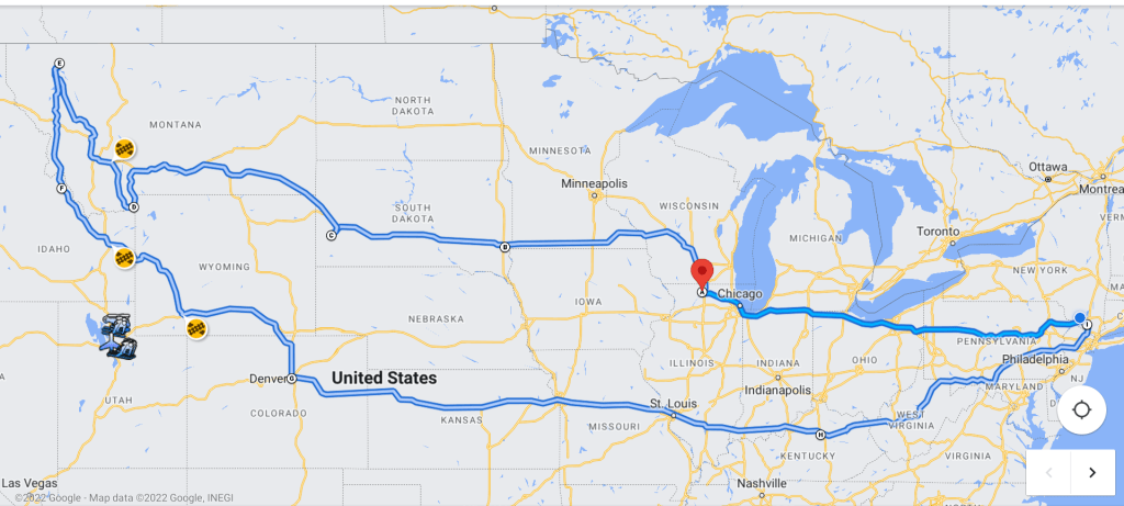
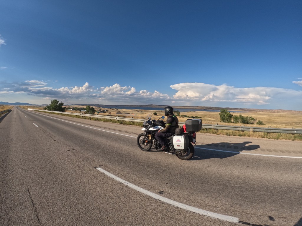
Here is the complete trip recap. We left Saturday, August 20th, and arrived back in New York Saturday, September 3rd. We rode about 6,300 miles in about 111 hours. We went through 18 states not including New York. We hit rain, hail, high wind gusts, temperatures from the low 40’s to the mid 90’s, and elevations up to 12,000 feet. We entered many national forests, some national parks, and some national monuments. Luckily we had no real bike issues and ran out of gas only once. Overall it was another great trip. Here’s a relatively close preview of our route.
States: * Pennsylvania * Ohio * Indiana * Illinois * Wisconsin * Minnesota * South Dakota * Iowa * Wyoming * Montana * Idaho * Colorado * Kansas * Missouri * Kentucky * West Virginia * Maryland * New Jersey
To help support my blog and my future trips, please visit my Venmo
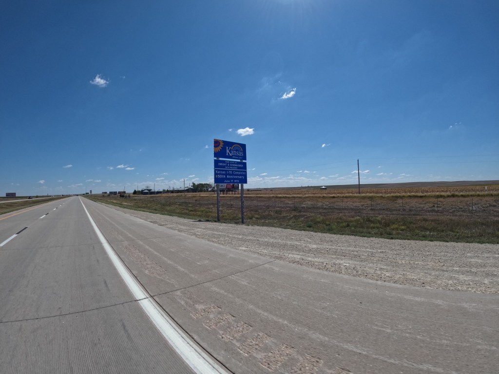
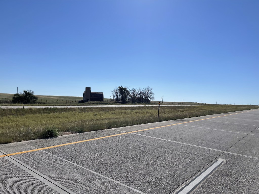
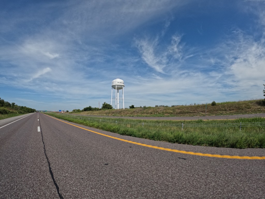
We woke up and had breakfast with Eddie’s cousin. Then we began our trip back home. We left Denver and tried to make it as far east as we could. We wanted to make it home by Saturday, September 3. I thought we should take I-70E rather than take I-80E so that Eddie can say he’s been in another three states. And, we also took I-80W to get the trip started, so why not go a little different route? We stayed on I-70 for about 630 miles before we ended the day in Independence, MO. We rode all the way through Kansas. Independence is just outside of Kansas City, which is in Missouri. It seems a lot of people don’t know this or forget it haha. Just before we made it to Independence, Eddie’s visor screw came undone and fell out. After going through some tolls, we pulled off to remedy it with some electrical tape. When we finally reached Independence, we stopped at Gates Bar-B-Q for dinner.
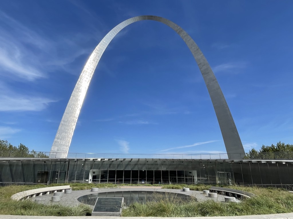
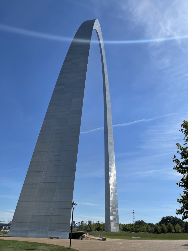
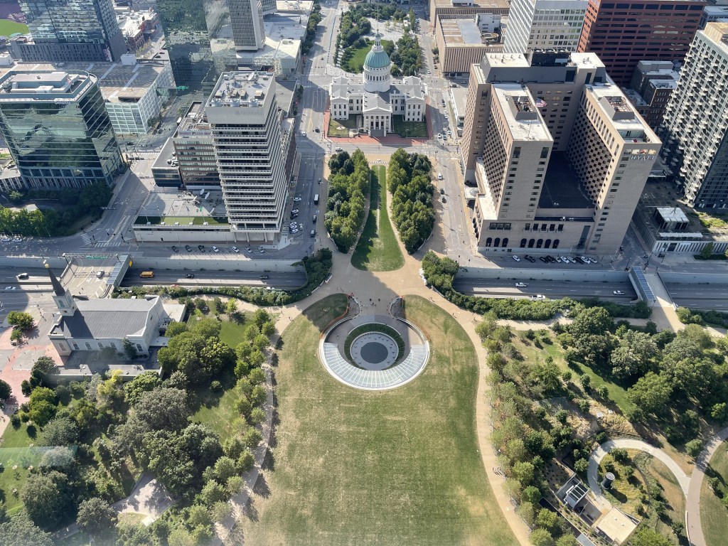
On the second day, we left the hotel and headed back down I-70E for about two hours where I found an ACE Hardware in Columbia, MO. I’ve noticed ACE Hardware has a lot better selection for screws and bolts. So, we looked around and found a thumb screw that was the right thread and length. We used coupled it with a washer and VOILA! No more electrical tape. We hit the road and continued down the highway towards St. Louis. I thought that since we had to go through St. Louis, we should at least stop for lunch and see the Gateway Arch. It’s one of those monuments that’s really neat to see once. There’s an elevator that takes people to the top and there are some good views. After our stop in St. Louis, we crossed the Mississippi into Illinois on I-64 and continued east. We rode another couple hours until we crossed into Indiana and reached Evansville, where we stayed the night. We finished the day with about 400 miles. This was a little better than the first day heading home since there are some hills and mild turns.
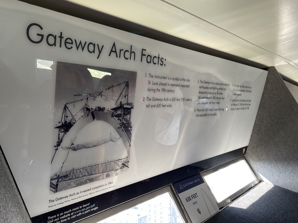
Here are some Gateway Arch facts: * It’s 630 feet tall * It was constructed for 2.5 years from 1963 to 1965 costing $13 million equivalent to about $100 million today. * Construction began after about 20 years of planning * In 1927 it became a national park * Its creation was to honor westward expansion of the United States * The visitor center is underground between the two legs and it’s about 70,000 square feet * There’s an elevator that takes people to the top
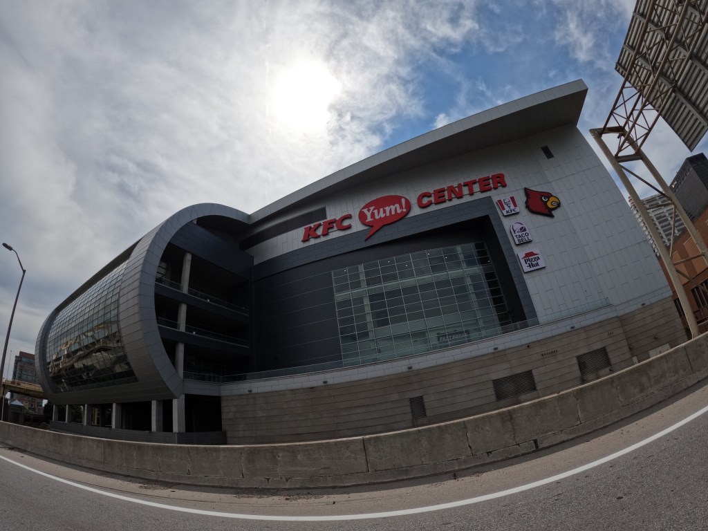
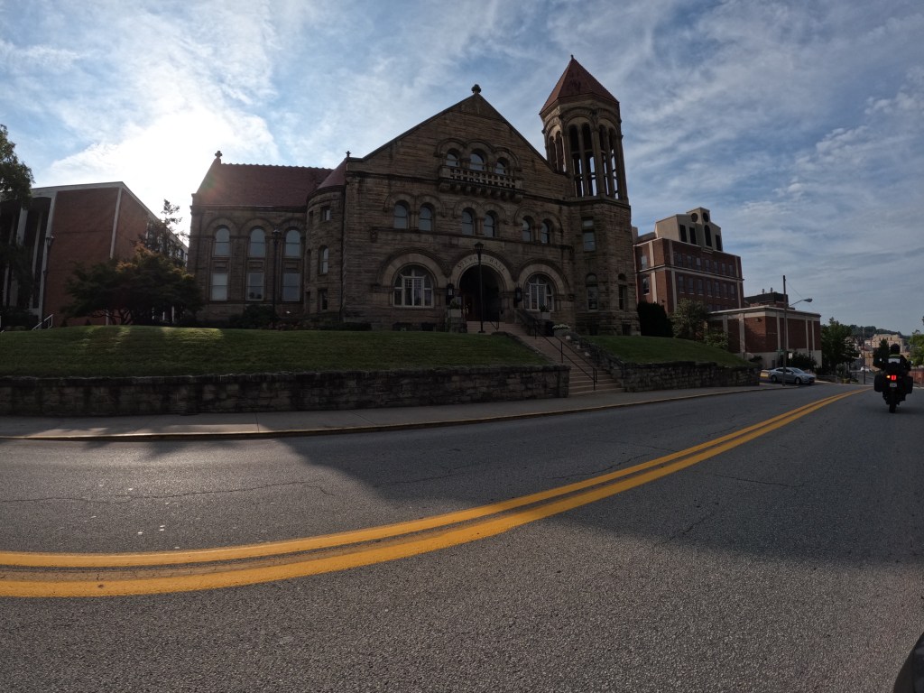
On the third day, we left Evansville, IN and we were hoping to make it to Morgantown, where West Virginia University is located. Eddie spent a semester there and thought it would be cool to check out the city after almost 14 years. We followed I-64 east and crossed into Kentucky. We went through Louisville. While riding through Louisville, we passed the KFC YUM Center and also the Louisville slugger Field. We rode for a while longer until we got hungry. We found a BBQ place off the the highway in Ashland, KY called Smokin’ J’s BBQ and Brewhouse. We both ordered their special burnt tip sandwich which was delicious. We got back on the road and rode another 4 hours or so until we arrived in Morgantown. By the end of the third day, I was getting anxious to get off the bike. My bum was finally tired of sitting. We finished the day with 515 miles.
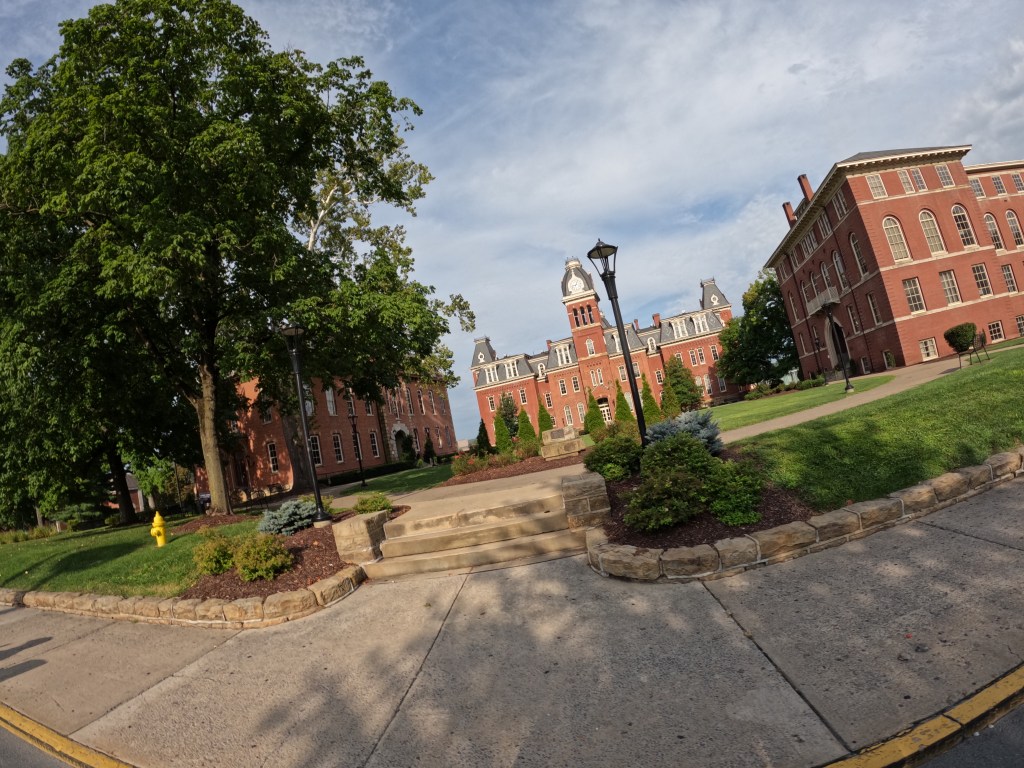
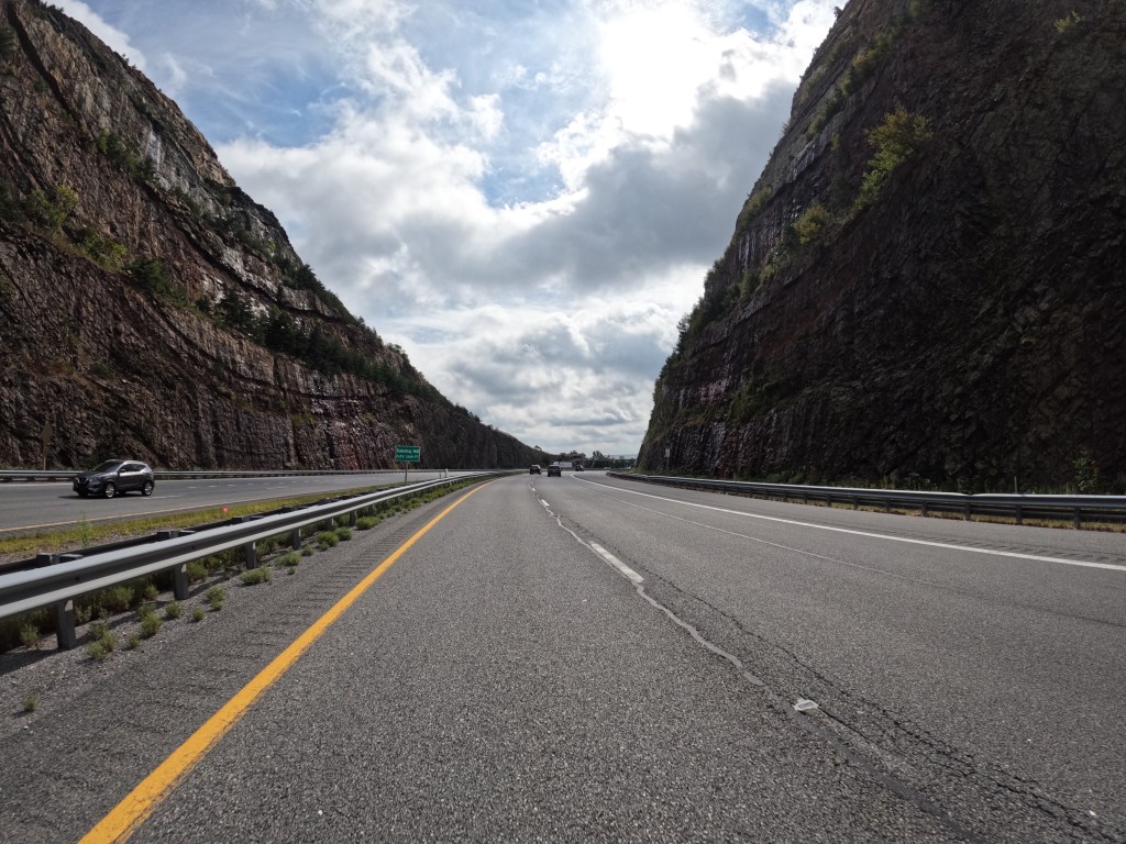
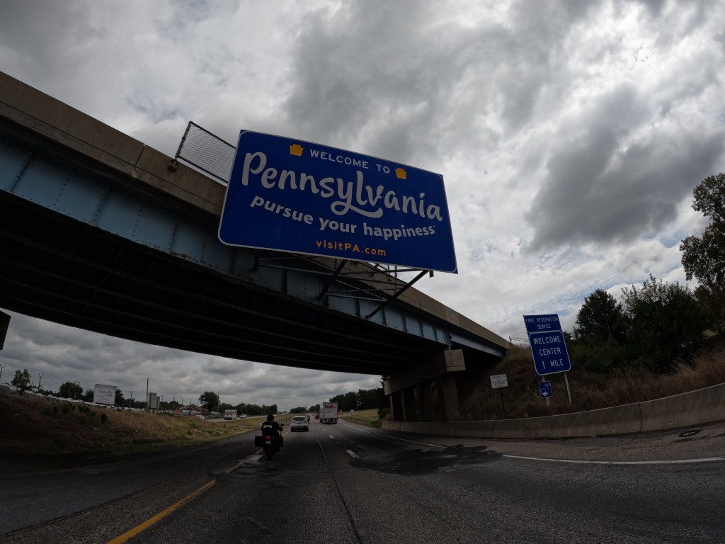
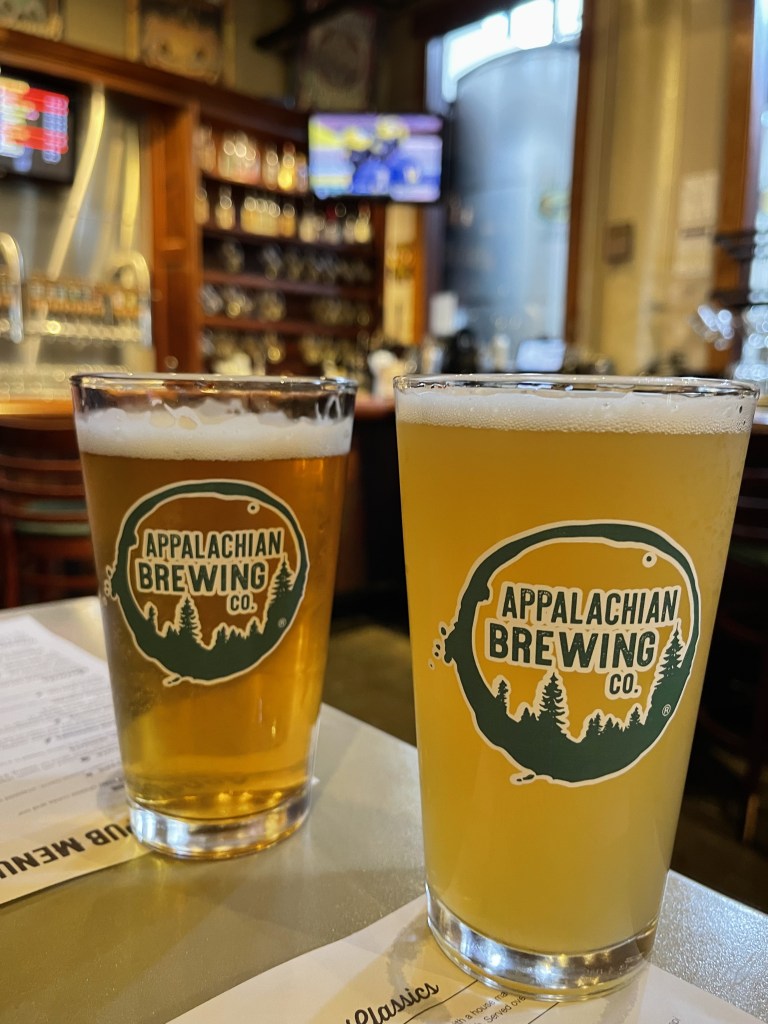
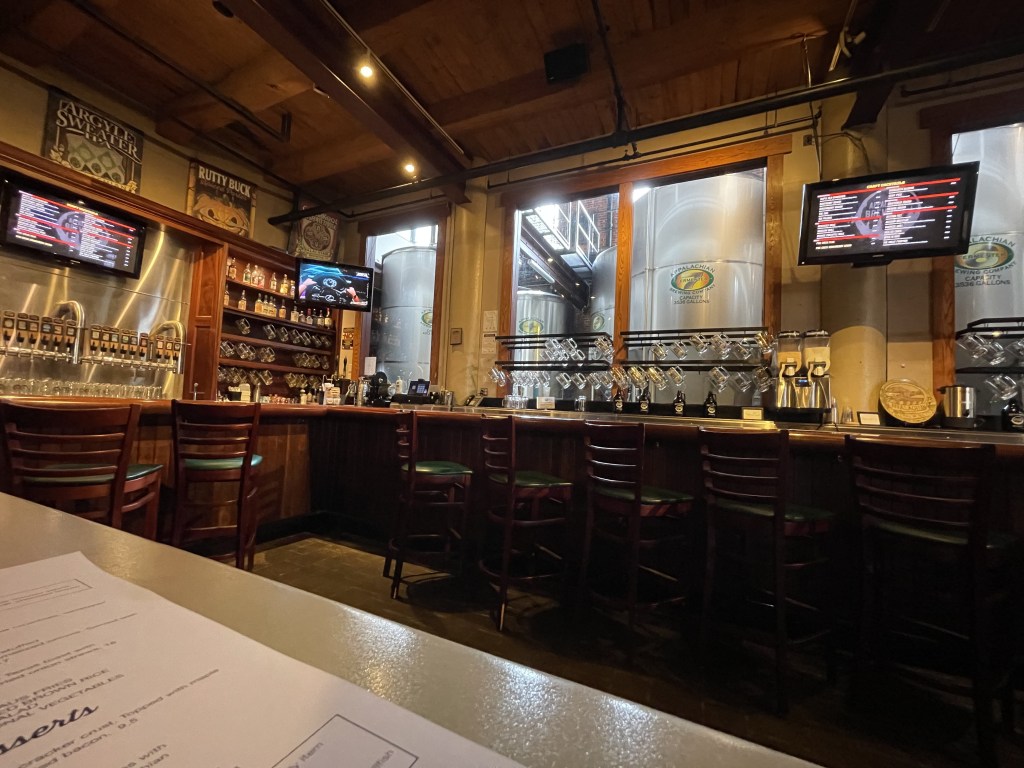
On the fourth day, before leaving Morgantown, we rode passed some of the facilities Eddie used to attend and where he stayed. There has been a lot of improvements and new campus housing since he’s been there. After riding through the campus, we hopped onto I-68E where we crossed into Maryland. After a while, we merged onto I-81N where we crossed into Pennsylvania. Google Maps notified me that there was a 30+ minute slowdown near Hershey, PA. I looked for a place before this and came across Appalachian Brewing Company in Harrisburg, PA. It was a nice facility and the food was superb. From there, we motored down I-81E until we crossed into New Jersey up I-287N until we reached Mahwah, NJ and through Tuxedo Park before arriving in Monroe. We finished this last day with about 420 miles. It was a relief to be back and off the bikes! It was another awesome trip and I cannot wait to do it again!
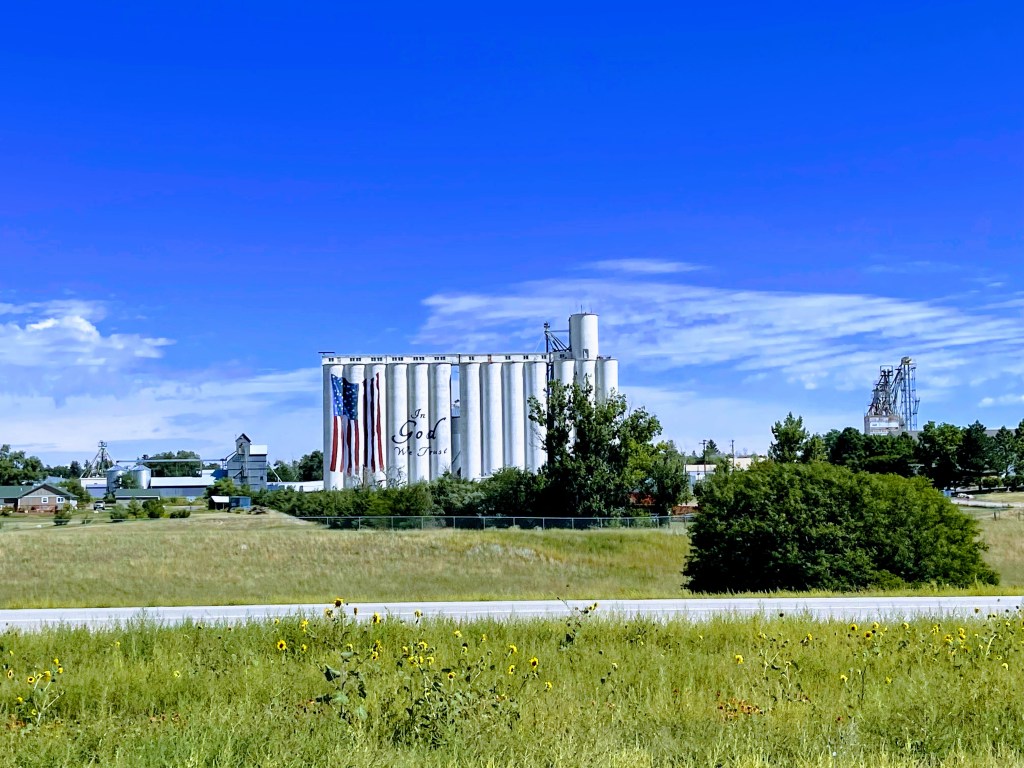
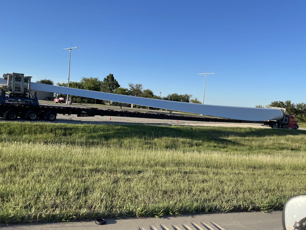
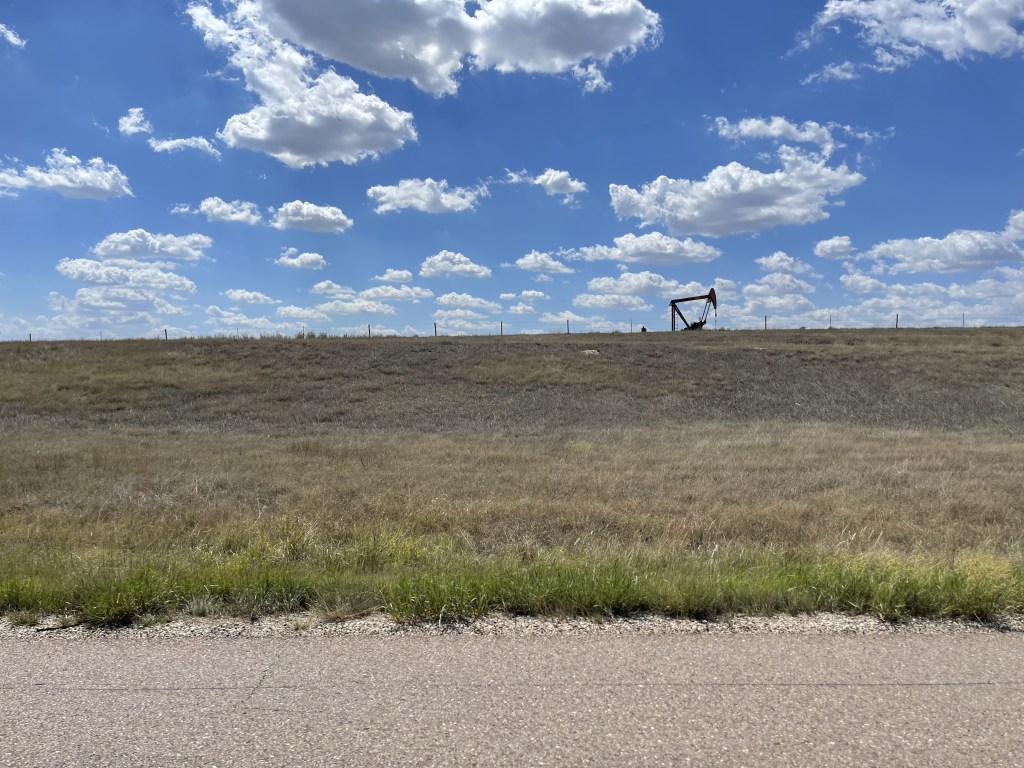
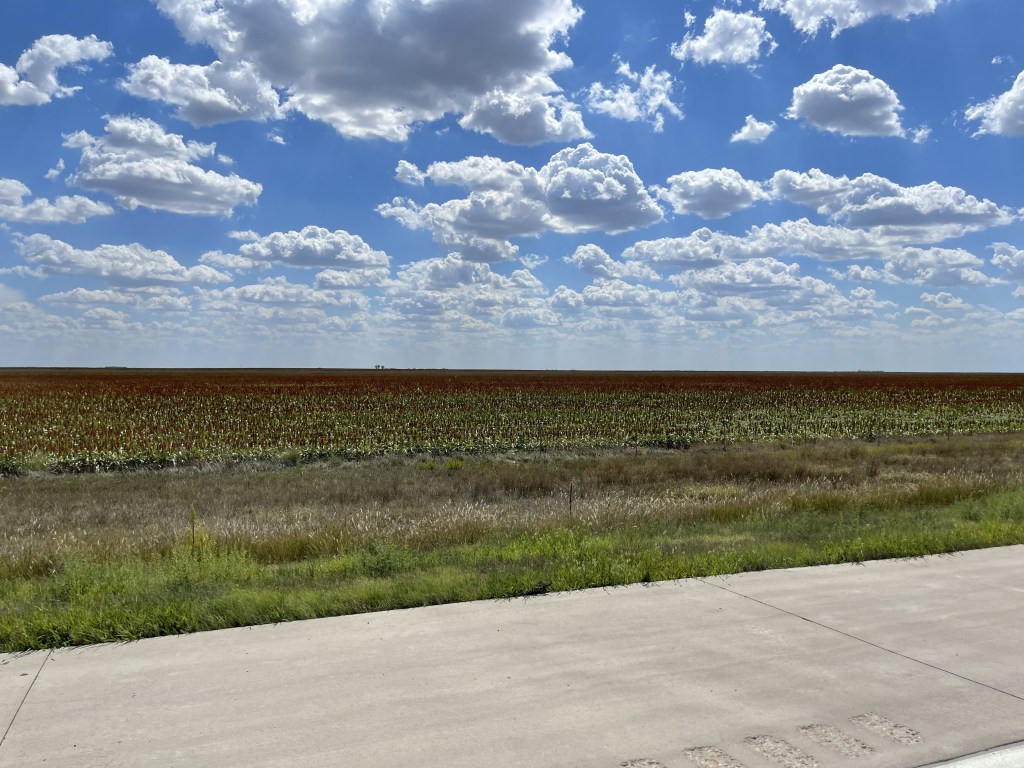
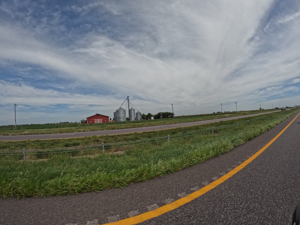
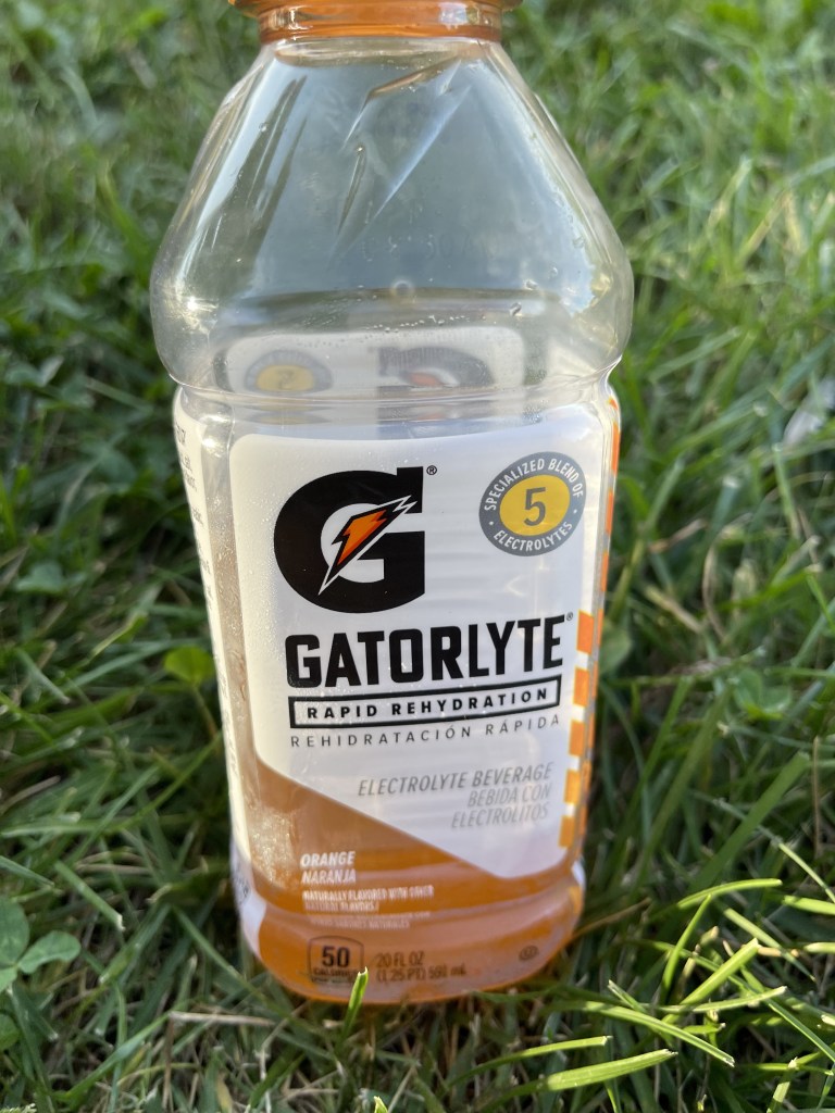
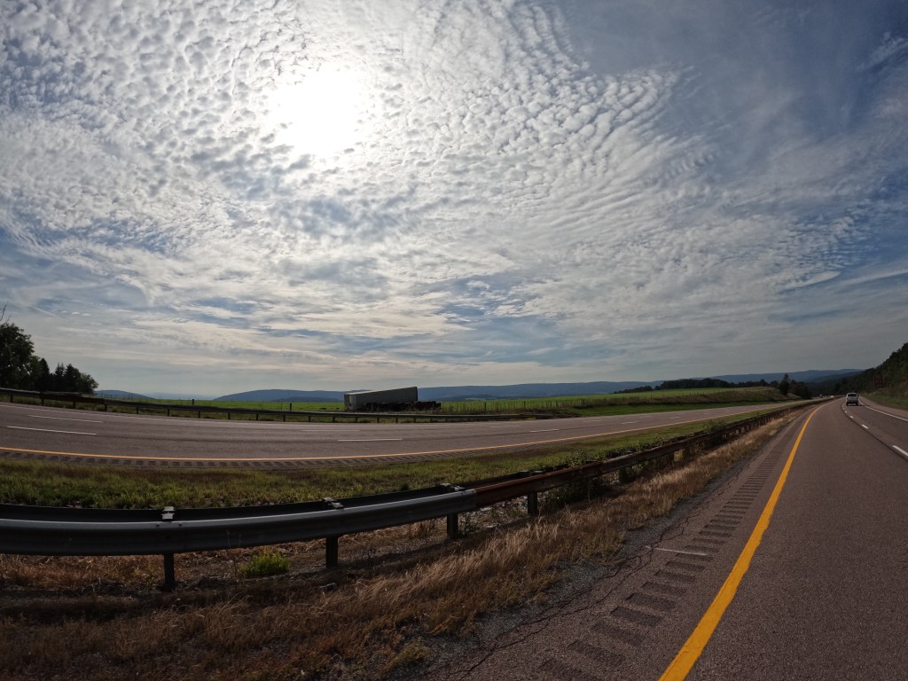
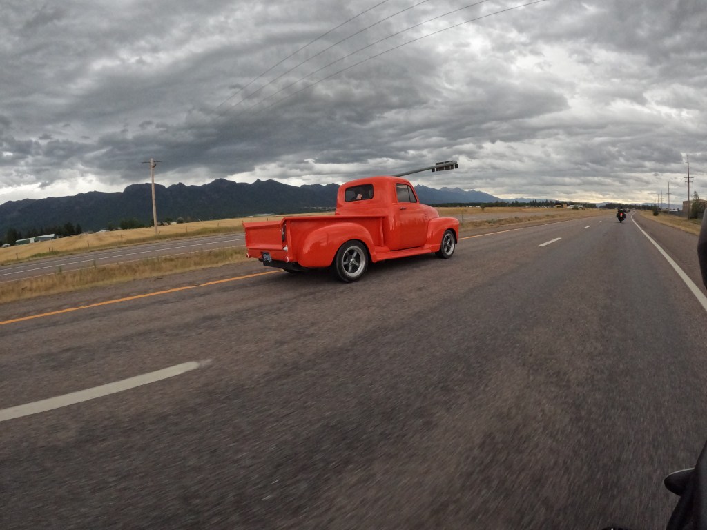
Overall, the four days heading home were long, hot, windy, and flat at first. The wind and the wind gusts make for a less than enjoyable ride. You’re constantly battling the wind, especially when each pannier and additional item act as a sail. For those that aren’t aware, eastern Colorado is quite flat and it blends right into Kansas, so once we left Denver, there wasn’t too much to see from the highway, except lots and lots of corn, milo, and wind turbines. Milo is similar to corn, but it takes less water and is typically used for feed grain. I learned this on my first cross country trip. At one stop somewhere is Kansas I was feeling a little dehydrated and found Gatorlyte in the Gatorade section. It worked amazing! I highly suggest this if you’re hot and dehydrated. The flats and stopped and hills and decent scenery started in eastern Kansas into Missouri and through Kentucky. As we got closer to West Virginia, it got even better as we were coming through the Appalachian Mountains. I didn’t take too many pictures on the way home because we were cruising along and things come and go fast! But I did manage to get a picture this turbine blade! Look at it compared to the truck!
More photos from Denver to Kansas City: Day 12 Photos
More photos from Kansas City to Evansville: Day 13 Photos
More photos from Evansville to Morgantown: Day 14 Photos
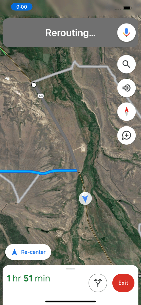
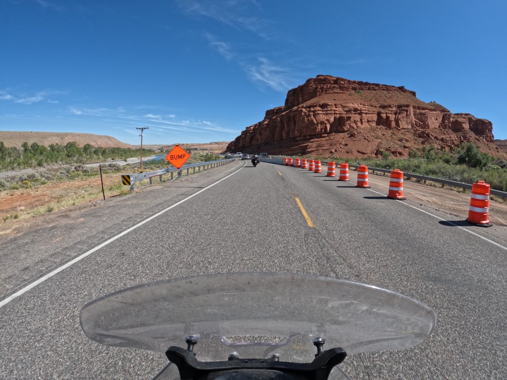
We only did about 195 miles on the day. We left the hotel and headed down route 125 south. Shortly after leaving, Google Maps had us making a left to stay on route 125, but it was a private facility. They had a sign saying it was private property and there was no access to public lands or public roads and Google Maps has not been updated. So we continued, but Google then had us making a right which would have added an extra hour. Luckily, I was curious and kept on the road which was still in fact route 125. Most people forget that outside of major towns and cities there is little service, so I was not able let the app update. As you can see below, the top gray line was the suggested route where we would have gone through private property. The preferred blue line added an extra hour. I decided to stay on the main road and it was the fastest. I just realized these could have been suggested route if the roads were closed.
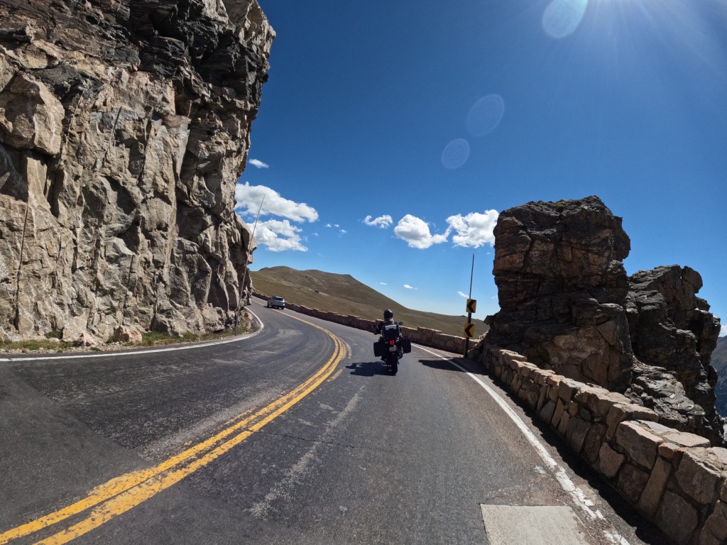
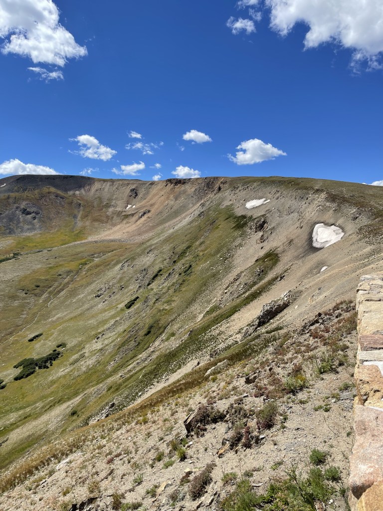
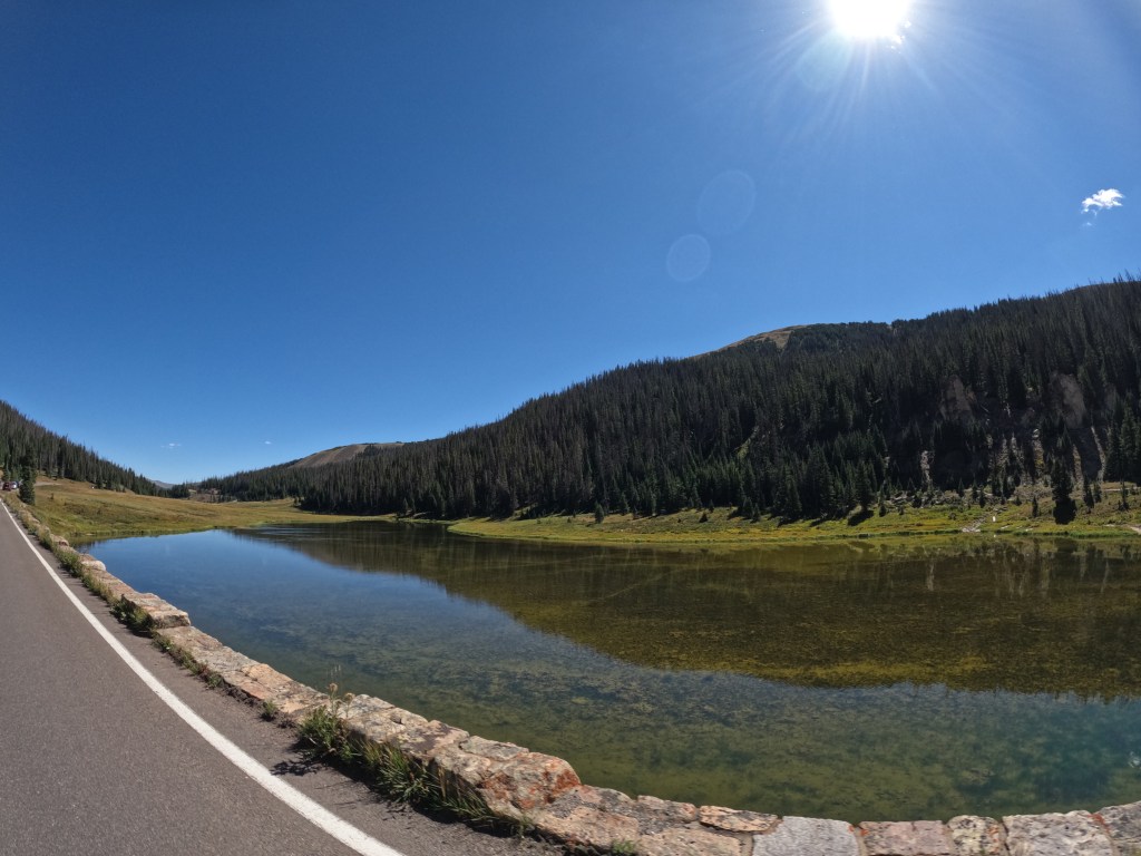
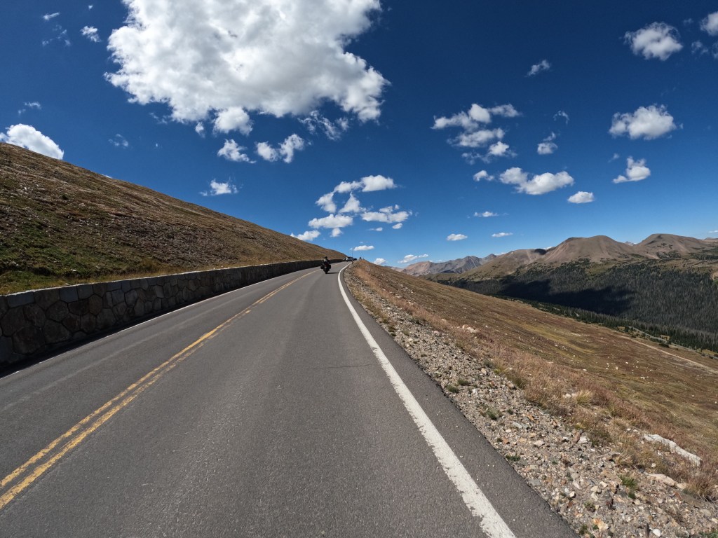
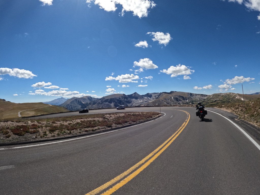
Staying on 125 led us through Arapaho National Forest which is really nice, but there was roadwork going on due to flooding and mud slides washing out parts of the road. We finally made it to Granby, CO which is the west side of the Rocky Mountain National Park. We stopped to fuel up before going into the park and there was a food truck, so we got chorizo breakfast burritos which were surprisingly very good. Then we rode passed Granby Lake and into the park. When we got to the park entrance, we were told we needed to get vehicle registration permits to enter the park, similar to Glacier National Park. Since it was a Tuesday, there were a lot of available permits to be able to enter the park.
We just rode through and stopped at the top at Alpine Visitor Center which is near Fall River pass and got coffees. Fall River Pass stands at 11,796 feet above sea level. After leaving the visitor center, we could see some Elk in the mountains. We continued on and headed into Estes Park. We stopped for some food and checked out a couple gift shops. We didn’t stay and check out the park much because we wanted to make some stops and see some folks. We left Estes Park and headed through Lyons towards Westminster to see a friend of ours, then my friend’s in Lafayette, then Eddie’s cousin in Denver where we stayed. I find it funny that the first cross country trip I did, I stayed my friend’s house, but he was in NY with his wife visiting family. This time he was home and he cooked us some homemade elk brats which were phenomenal!
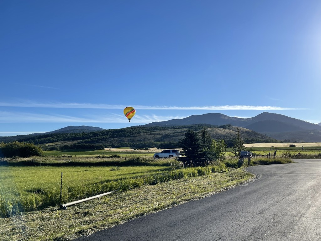
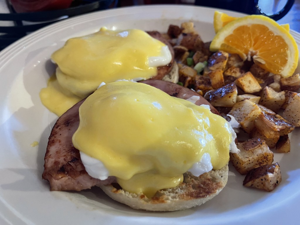
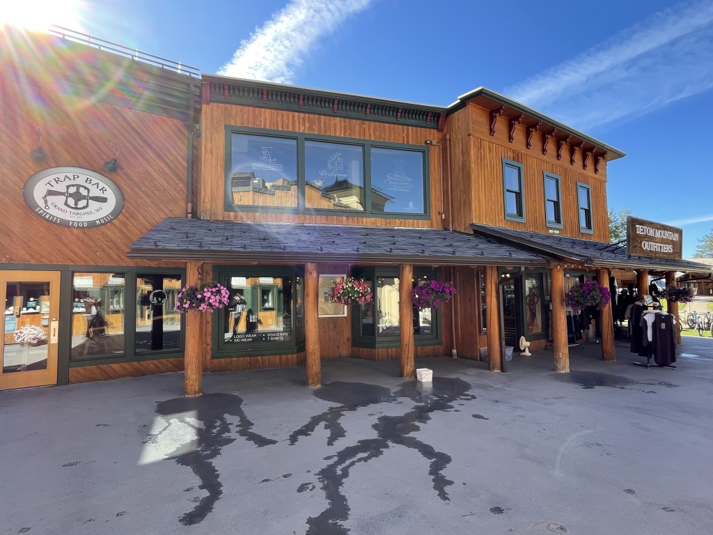
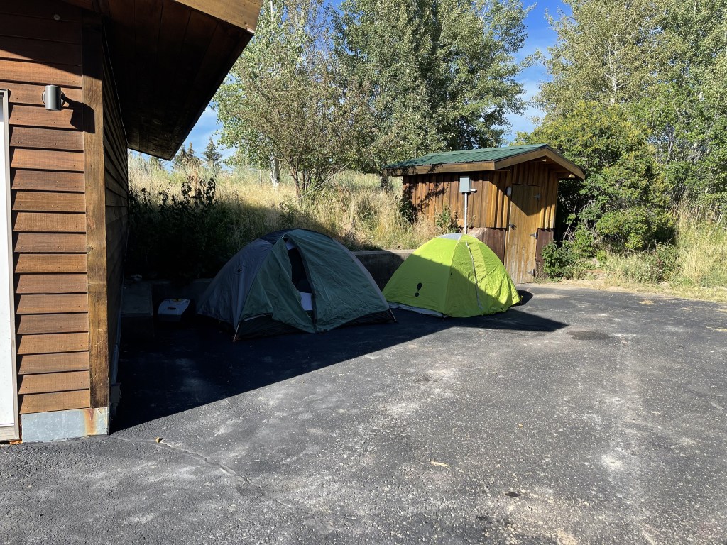
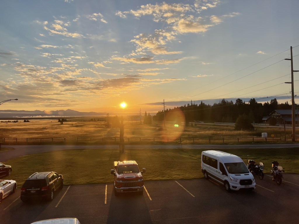
We got up, packed our tents, and went to get breakfast. As we were leaving, we saw a hot air balloon coming down and we stopped to get pictures quick. We had breakfast at The Provision Kitchen in town which was really good. From there we headed up to Grand Targhee Resort to take a look around. The ride up was nice and there were some fun turns which always makes the ride more enjoyable.
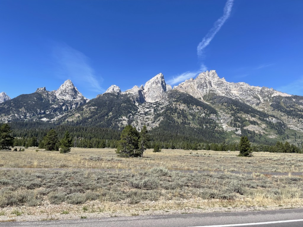
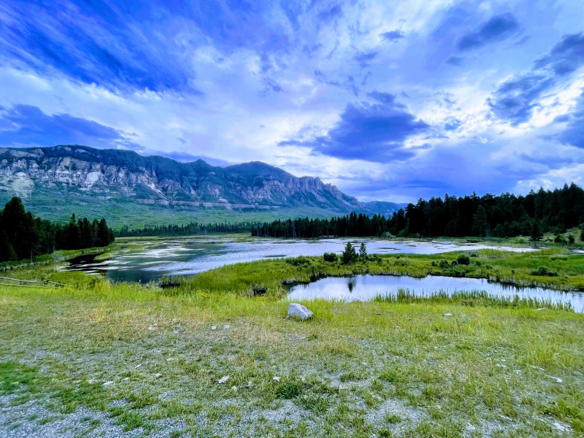
From the resort, we headed to Jackson, WY (Jackson Hole) but just rode through town. It was very busy and touristy so we continued into Grand Teton National Park. We stopped at the visitor center to see if they had any stickers for our panniers. Then, we took the scenic route through the park and along Jenny Lake. We were hoping to see a bull moose, but we never saw one. We also just rode through the park without stopping to hike. I’m sure if we were to hike, we could have, but who knows? The view of the Tetons is amazing anyway, but that would have been the icing on the cake!
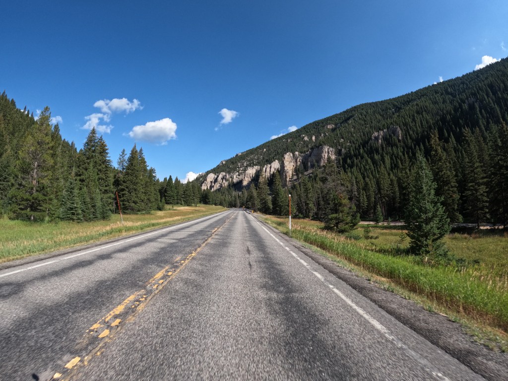
Once we got through the park, we took route 26 to route 287 southeast through Bridger-Teton National Forest and then through Shoshone National Forest. The scenery is so awesome! These two national forests have so many mountains, hills, rivers, and streams. It’s just beautiful! We continued until we reached Dubois, WY and there was a nice sort of western-like town with some restaurants, so we stopped there for lunch at Cowboy Cafe.
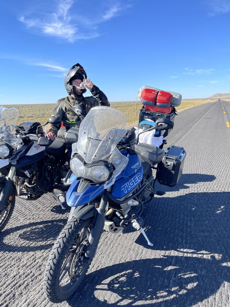
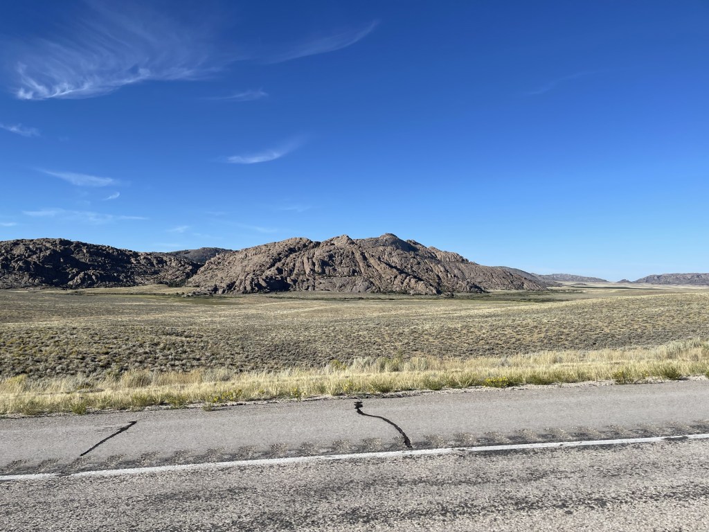
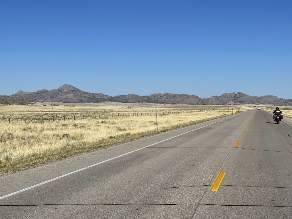
We continued until Riverton, WY. From there, there was a whole lot more of nothing down route 135 and route 287 until we got to Rawlins, WY. We basically rode through central Wyoming and its very desolate out there; just thousands and thousands of acres of farm fields. I think it was close to 120 miles of almost nothing. After we went through Riverton, we turned on to route 135 and they were doing roadwork so we stopped and got off the bikes while we waited. They told us it would be about a 15 minute wait.
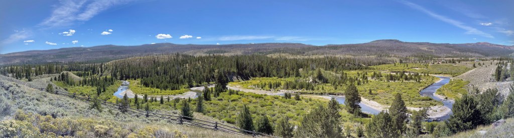
After waiting we cruised on. There was some great scenery along the way, but very little civilization. It really makes you think how vast this country is. We passed Split Rock too. As we rode by I got some photos with the GoPro. I thought it was a famous historical spot and after looking online, I was right. Split Rock was a prominent landmark on the Oregon Trail due to its notch. Emigrants could see if for two days or more as they approached on the trail.
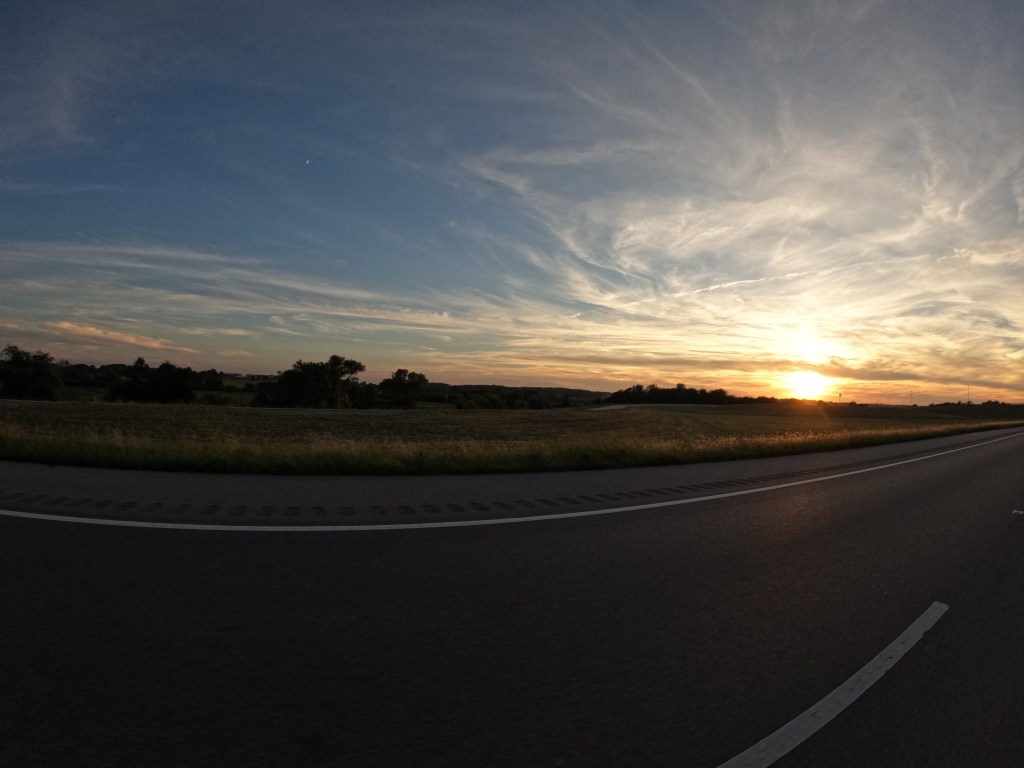
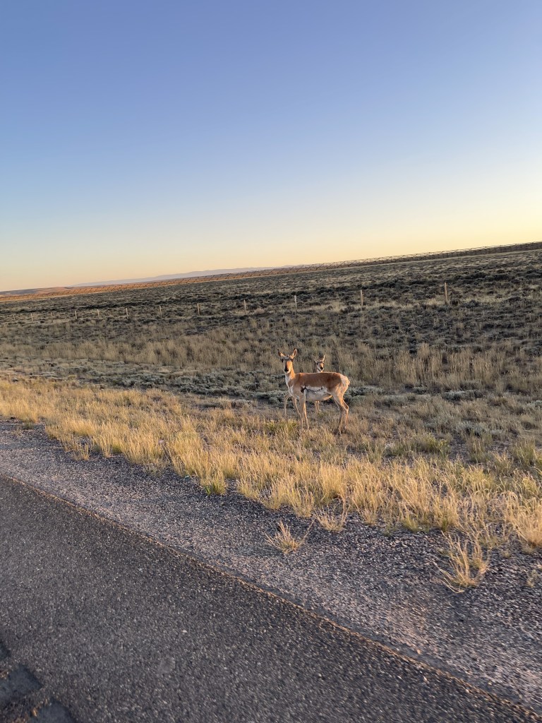
We finally arrived in Rawlins, WY. From there we were trying to find a place to end up for the night. We thought Walden, CO would be a good point since we were planning on making it to Granby, CO before making our way into Rocky Mountain National Park. On the way, the sun started to set. The temperature started to drop so we pulled over and added some layers. At this point, it was dark and when we got back on the road for the last hour, it was a bit tense. There were a lot of hares and antelope on the shoulder of the road and I did not want to hit either of them at 8:30pm in the middle of nowhere. After taking our time, we crossed into Colorado and made it to North Park Inn & Suites. When we checked in, we were given a room. Well, we got to the room, and when we opened the door, there were construction workers laying down. They were quite surprised! haha Their system never updated properly. Luckily there was a master suite we were able to stay in. We finished the day with about 460 miles.
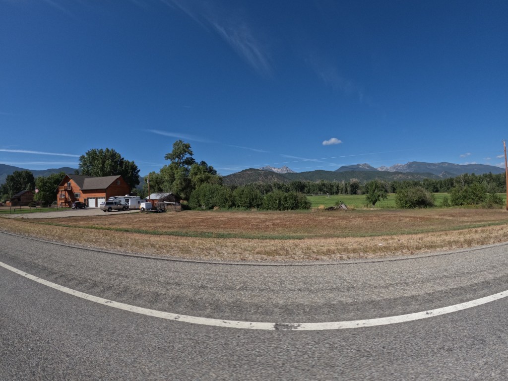
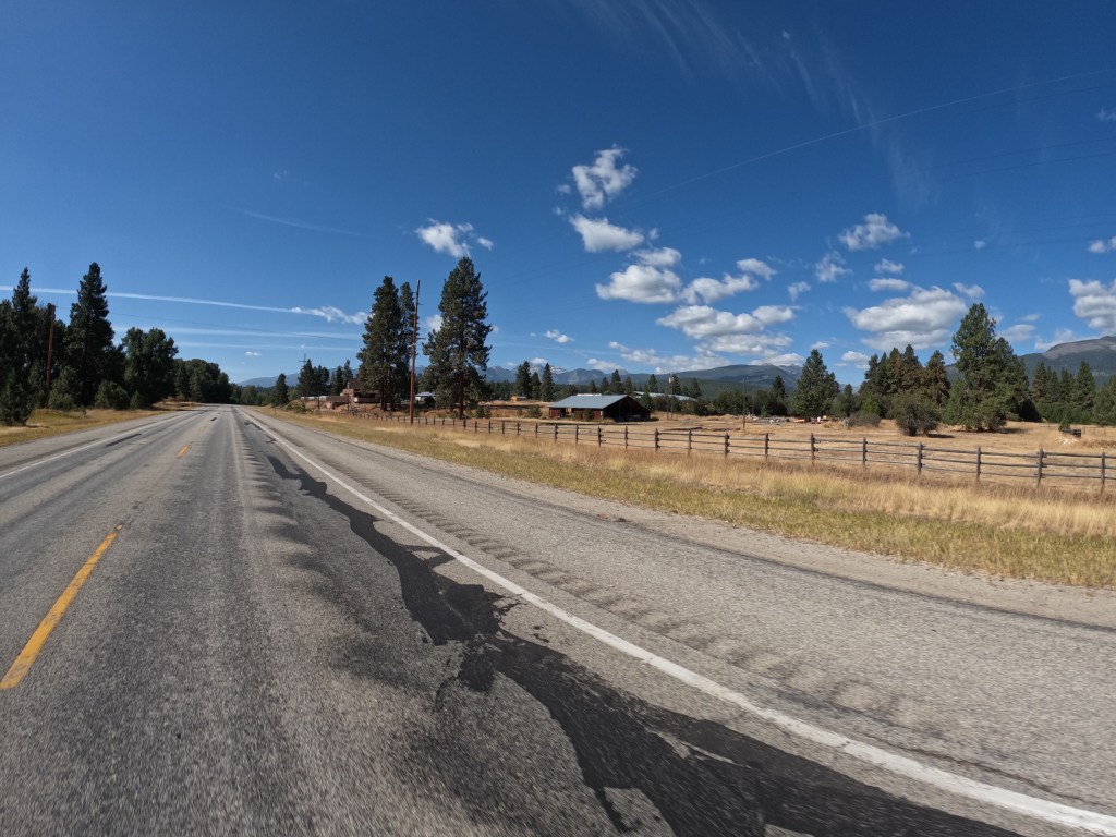
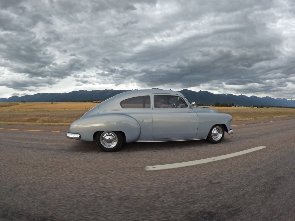
We were about to leave the hotel in Missoula and I got a phone call from my cousin. While I was on the phone, Eddie started his bike to warm it up and noticed a coolant leak. Luckily we noticed it before riding. We looked into the issue and it was only a loose hose clamp. So, Eddie tightened the hose clamp and it was all good. He monitored it for most of the day just to be sure, but it never leaked again. We rode down 93 south. We were heading to Alta, WY where I have a relative that has a house there. Along the way, we went through Darby, MT when we saw what appeared to be a police car. We realized afterwards that is was a security car. I missed it, but Eddie saw a banner that read “Yellowstone Dutton Ranch” and after looking online, it was indeed where they filmed the show, Yellowstone.
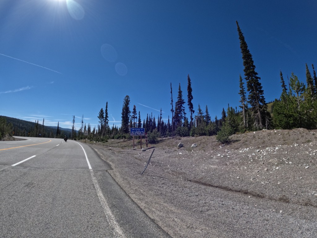
We continued down 93 through Bitteroot National Forest and into Idaho near Lost Trail Ski area. This was an unexpected road going through the mountains. There were some nice, smooth, sweeping turns along the North Fork Salmon River then the Salmon River until we reached Salmon, ID.
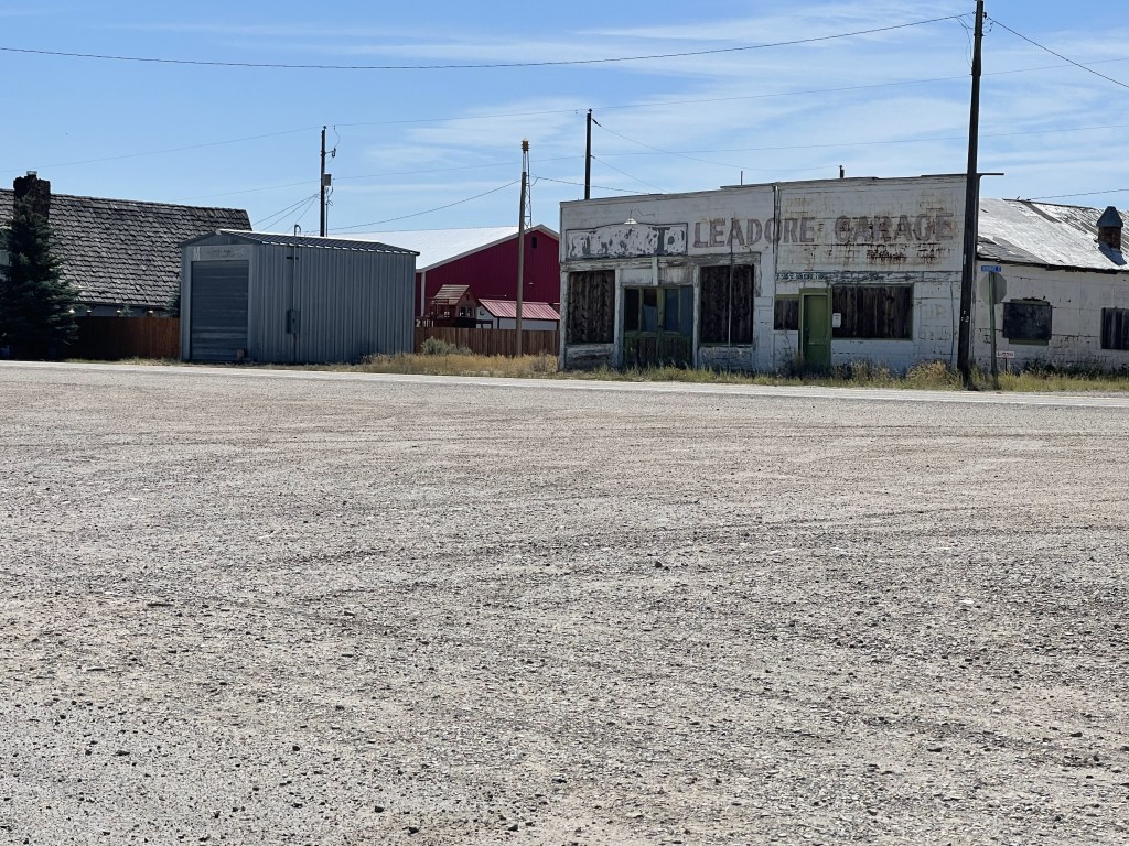
From Salmon, we turned on to route 28 to head southeast on our way to Alta. There was basically nothing for about 150 miles. It was like being in the Death Valley all over again. There were mountain ranges on both sides and just desert-like farm lands in the valley all around. We stopped in Leadore for gas. Everything in this little town was closed, but thank goodness the gas pump worked. Across the street was a little restaurant, but that was closed. So, I had a snack bar to help hold me over.
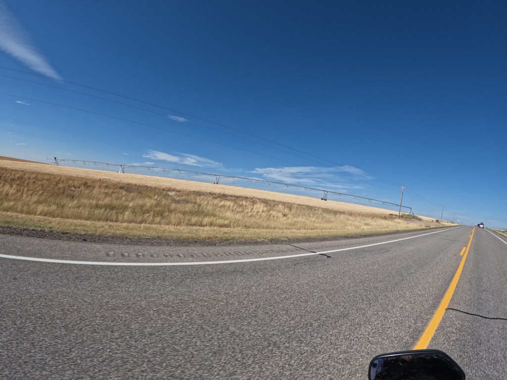
From there we continued on until we reached civilization in Rexburg, ID. We filled up again, got some beef jerky, and some water. It was about an hour until we would arrive in Alta. We rode down route 33 and passed a lot of farm fields. It appeared they grow a bunch of wheat and corn there on the rolling hills. It was a real nice change of scenery after the previous 150 miles we did.
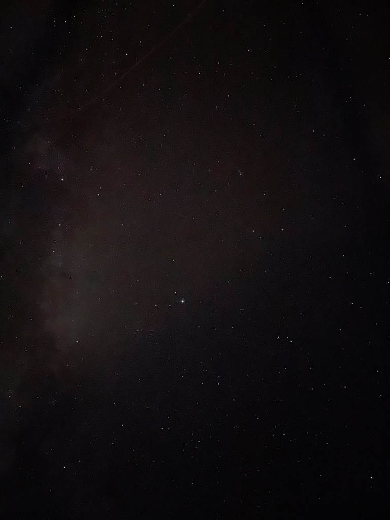
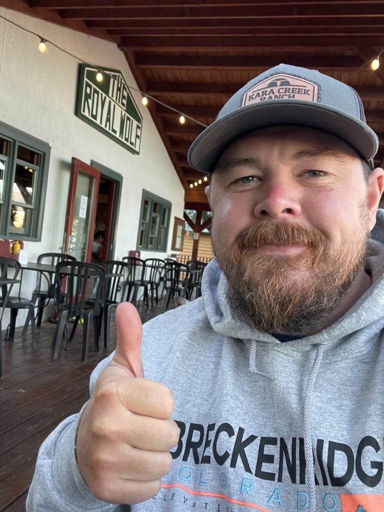
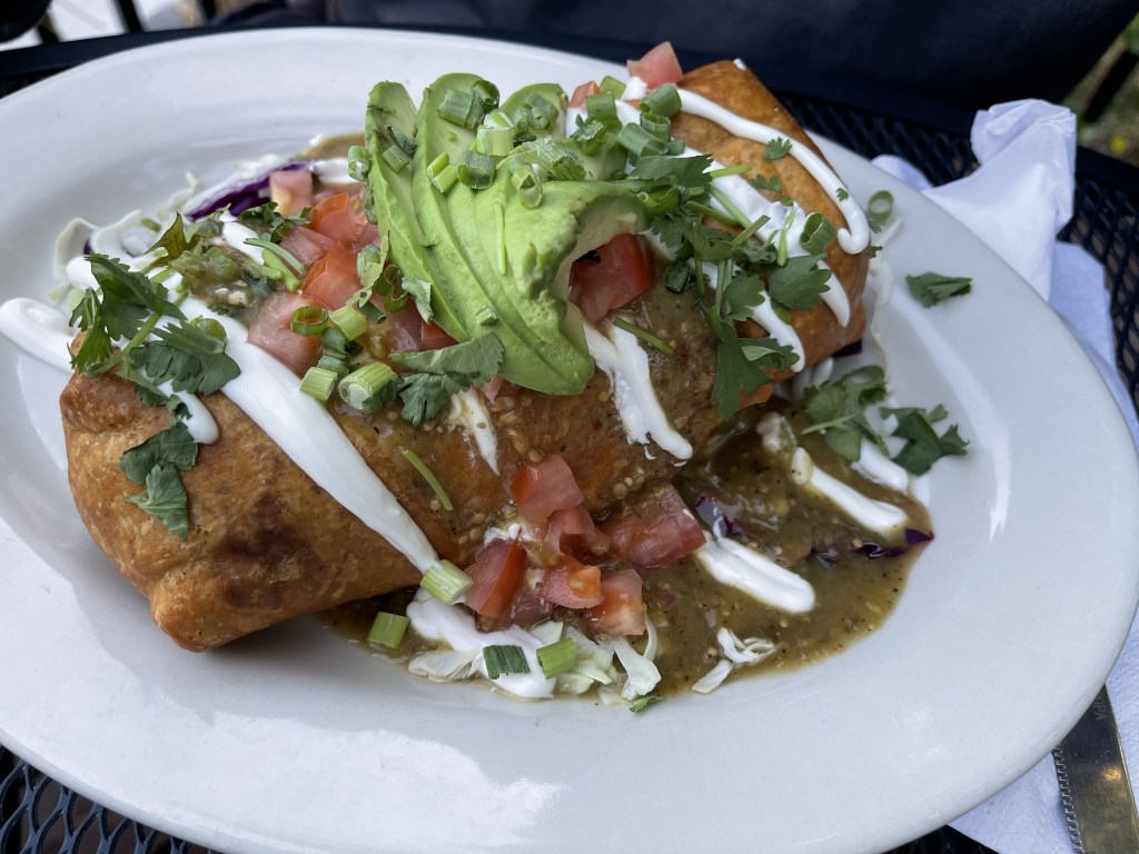
We finally got to Alta after riding about 435 miles and it’s basically a town at the base of the western side of the Grand Tetons. We got to my relatives place and set up tents for the night. He wasn’t around, but he suggested going to Royal Wolf in Driggs, ID and they had some great food. We were quite hungry after going all day with some snacks. When we got back to the house, we could see so many stars. I can see a lot of stars at my house, and I am grateful for that, but I have never seen so many stars in my life! It was incredible! We could see the Milky Way
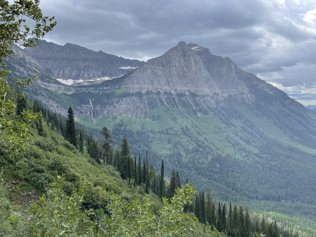
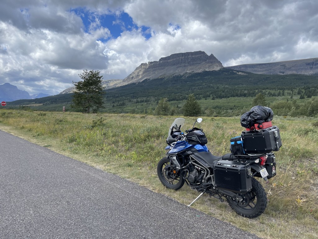
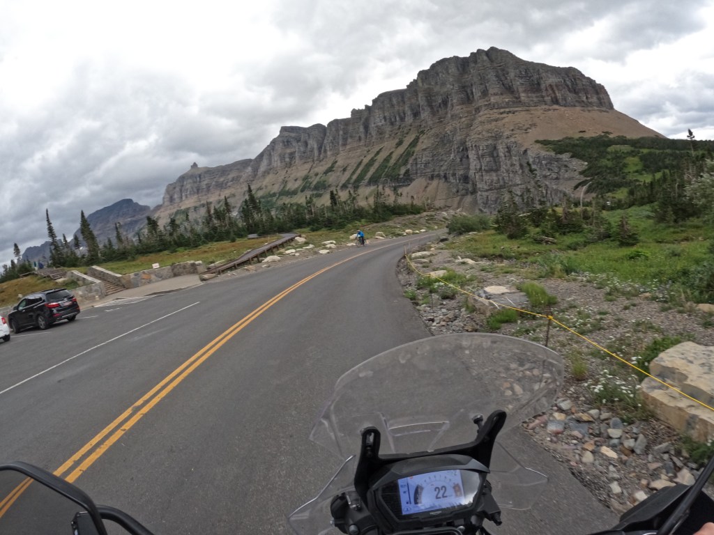
We left sort of early and got to West Glacier at about 8am. It was a Saturday, so we knew it could get packed. We already had a vehicle registration permit. These are needed to access the park from May 27 – September 11. This is to help limit the amount of congestion on the main road going through the park, Going-to-the-Sun Road. The view are incredible. The photos don’t do any justice at all. It’s truly a magnificent experience. To this day, this is my favorite park! The ride up from the west entrance is incredible!
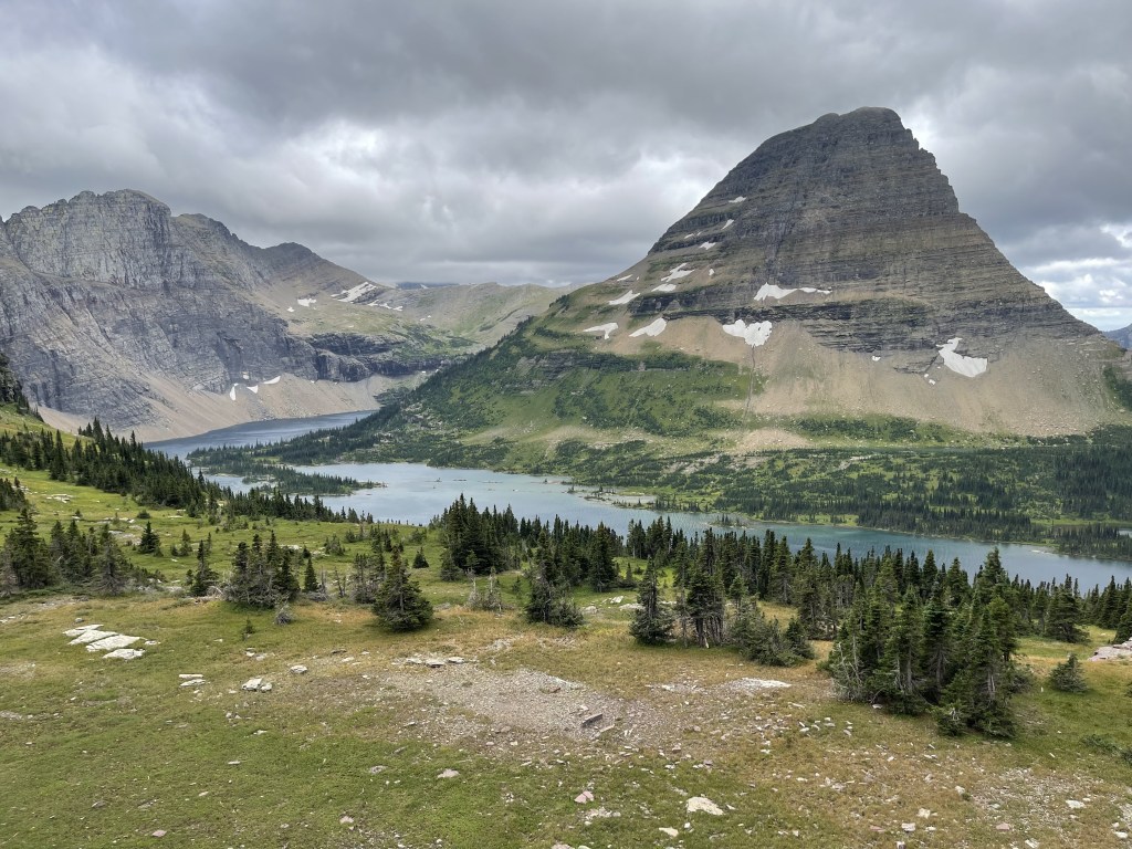
We got to the top where the Logan Pass visitor center is located. It was a bit windy and chilly, so we went inside. I was hoping for some coffee but they don’t sell coffee there. So, we got some stickers for our panniers (side bags) then did the 1.5 mile hike up to Hidden Lake. The views are spectacular! We only went as far as the overlook to Hidden Lake. The backdrop of the mountains never gets old.
After soaking up the views, we headed back down and continued our way through the park. We were hoping to see some wildlife and I finally saw a black bear. It was about 100 yards away near the east entrance of the park and we pulled over to take some photos.
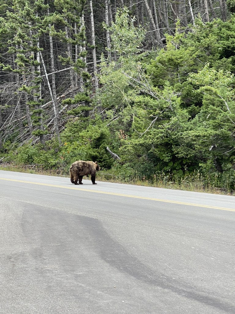
We got to the end of the park and turned around to head back to the west entrance. On the way back, I was looking for mountain goats. I thought that would have been cool to see. So, we pulled off into a turnout so we could look up in the mountains for them. While sitting there looking up at the mountains for a mountain goat, Eddie happened to look to his left and saw a grizzly, standing right there on its hind legs. It was only about 10 feet away. When he looked, he was like “holy…there’s a bear on his hind legs!” I didn’t 100% believe him so I got off my bike to walk up the road a little. I was hoping I would be able to see it. Well, I saw it too! Through some thick bushes, I saw a big golden brown color moving towards me and ran like a baby haha. It was about 10 feet from me, but I was not going to stick around and find out! Fortunately, it just walked across the road like Eeyore, so we were able to get some photos and videos. It was definitely an experience!
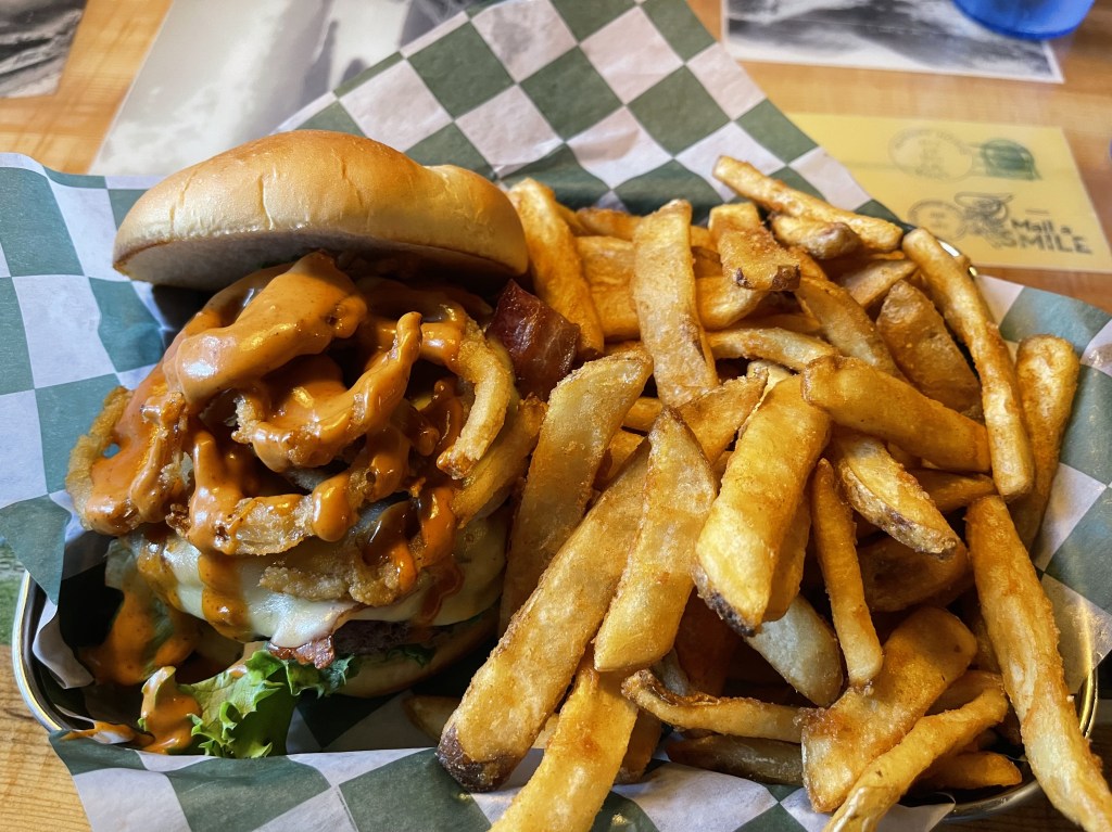
Shortly after we left the park and found a place to get some grub, Paul Bunyan Bar and Grill, which was excellent. Because Glacier was the pinnacle of the trip, we were deciding where to go and what to do next. So, we decided to go through Idaho. We headed down to Missoula and it rained along the way. When we got to Missoula, we found a Quality Inn, which we paid over $200 for. We were told Missoula is a massive growing city in Montana and it was also moving-in weekend for college students. Overall another fantastic day!
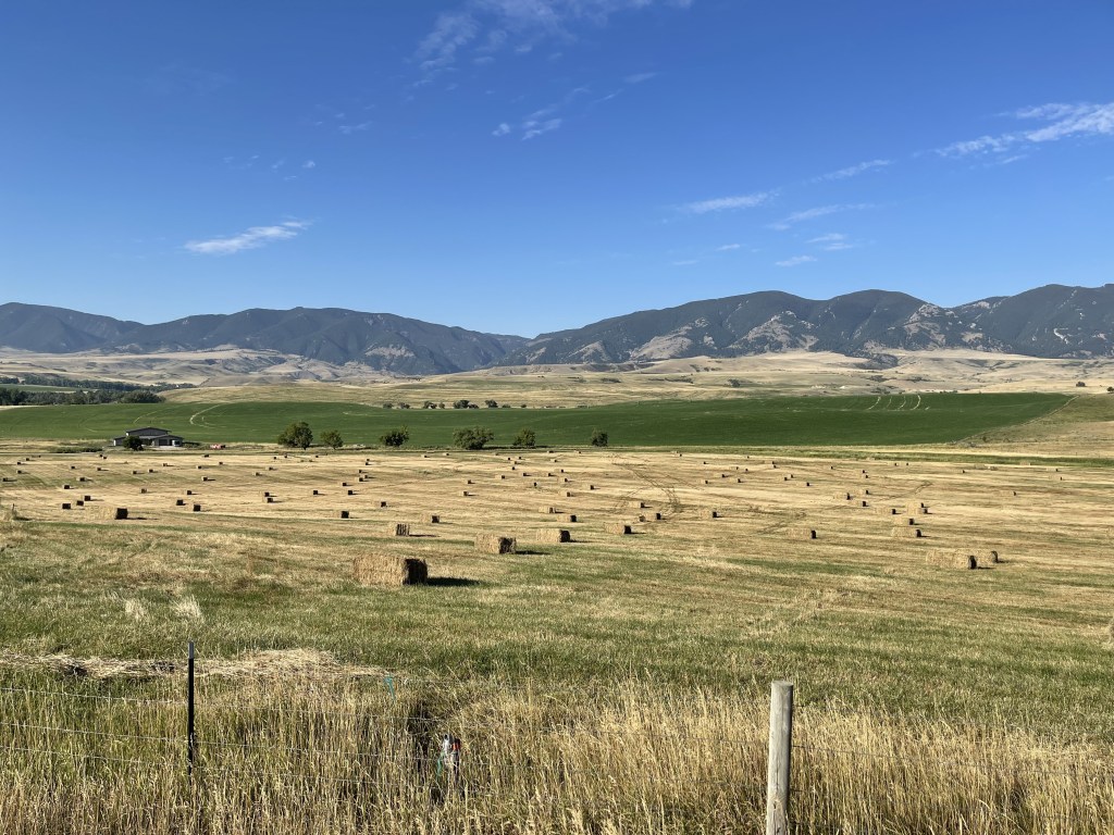
We left West Yellowstone and headed to Kalispell, MT. Kalispell is a growing city about 45 minutes west of the West Glacier entrance. We headed up route 191 through Big Sky, MT to Belgrade, MT. It was going to be another long day so we didn’t stop to see the ski resort in Big Sky. Route 191 goes along the Gallatin River. It’s a beautiful meandering road in the valley through the Custer-Gallatin mountains.
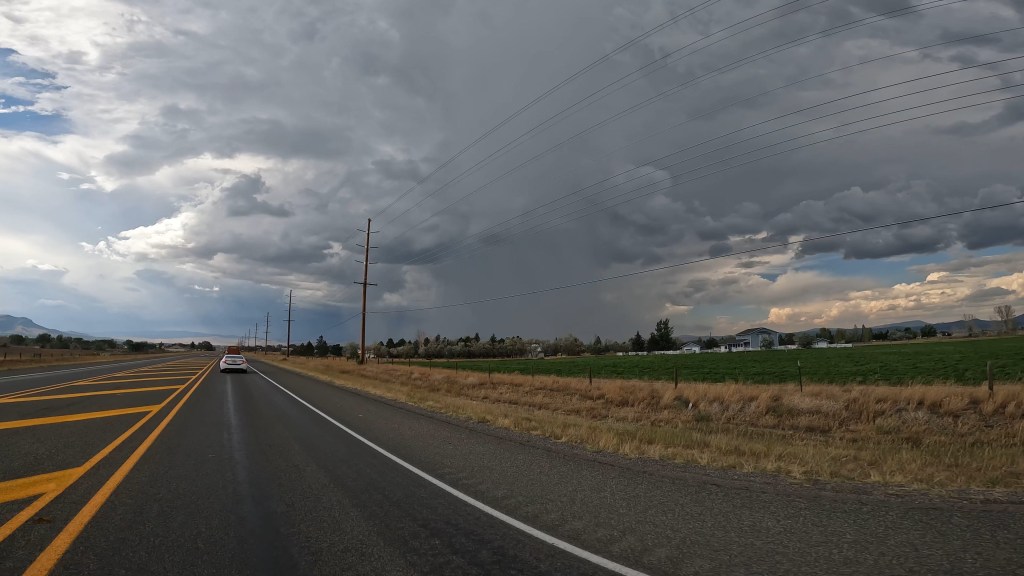
We continued on and into Belgrade, MT on our way to Helena, MT. Between those towns, it was mostly flat and there were a lot of farms. When we reached Helena, we filled up right next to Missouri River Brewing Company, so we stopped for lunch. They had really good food! While we were eating, it seemed like it was going to storm so we stayed a little longer to wait it out.
Well, we didn’t have much luck. When we left, we headed right into another storm. We could see it coming. It was like a wall of rain. We pulled over and suited up JUST in time. We were heading up route 279 through Flesher Pass which was also suggested to us from a Facebook group. It’s located in the Helena-Lewis and Clark National Forest. It was a nice road but right when the good turns started, the rain came so we couldn’t enjoy it like we would have liked to.
When we got to the end, we took route 200 to route 83 all the way up towards Kalispell. This is a really nice area! Route 83 goes passed Salmon Lake, Seeley Lake, and through Flathead National Forest. I believe they are Douglas Fir trees that you can see right off the road. They’re not as big as a redwood, but they’re still cool to see right along the road.
We arrived in Kalispell with about 400 miles on the day. We stayed in a Hampton Inn and did some laundry which was perfect. I was running out of clothes. While waiting for the laundry to finish, we went across the street to get McDonald’s, but their indoor dining was already closed. I ended up using DoorDash to order McDonald’s because they wouldn’t allow us to walk through haha
It was a crumby morning. We started late because the weather radar was showing rain ending about 11am. The first hour or so it was raining as we left Cody on our way to Yellowstone National Park. By the time we got to through Shoshone National Forest, it was clear and sunny so we took our rain gear off. Luckily for us, it turned out to be a beautiful day!
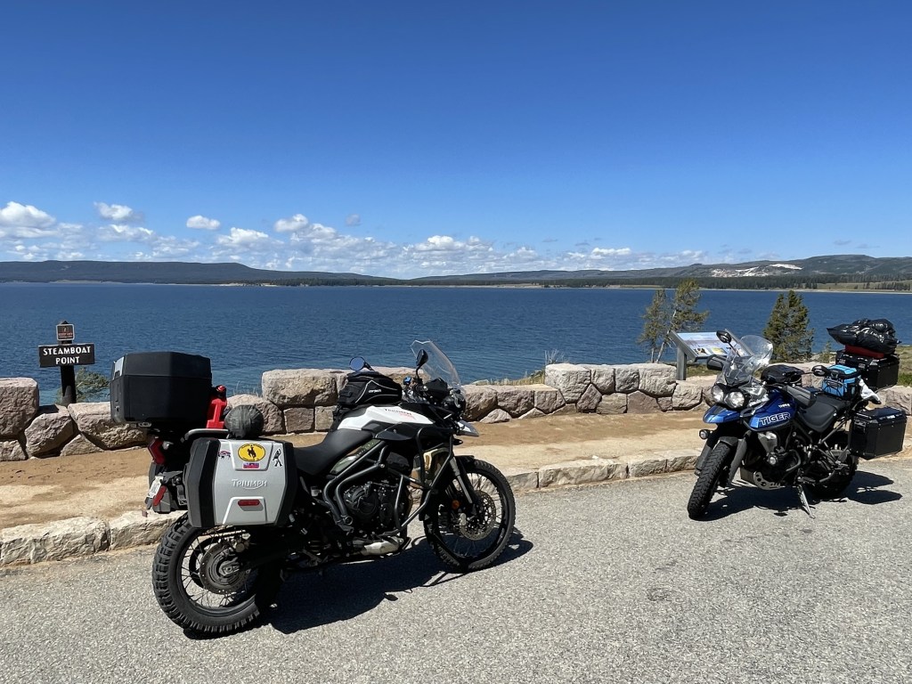
Cody is about 50 miles east of the eastern entrance to Yellowstone National Park. We got to the park and shortly after we saw a bison laying in a field which is always cool to see. We continued along the massive Yellowstone Lake and through the park. We stopped at Fishing Bridge General Store where I knew they had a cafeteria, because I was hungry! haha. We ate quick and tried to make our day at the park efficient. It helped that I was there before and knew what we should check out.
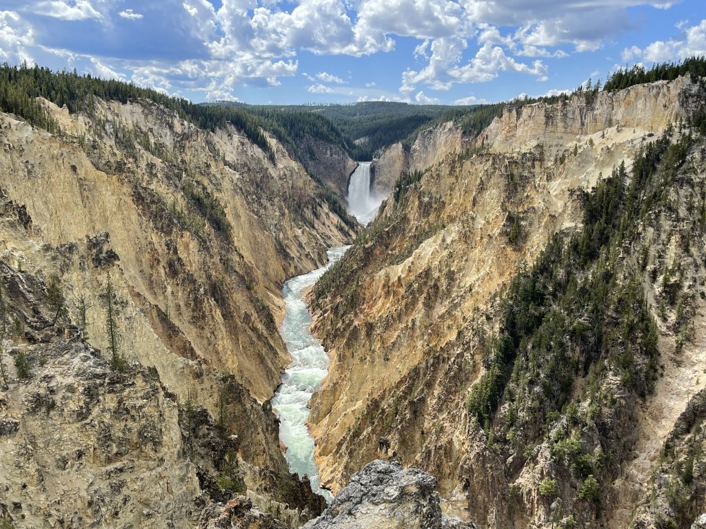
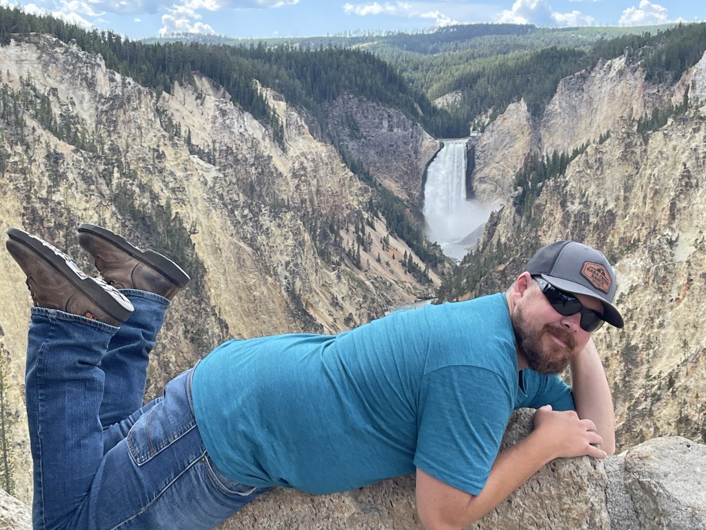
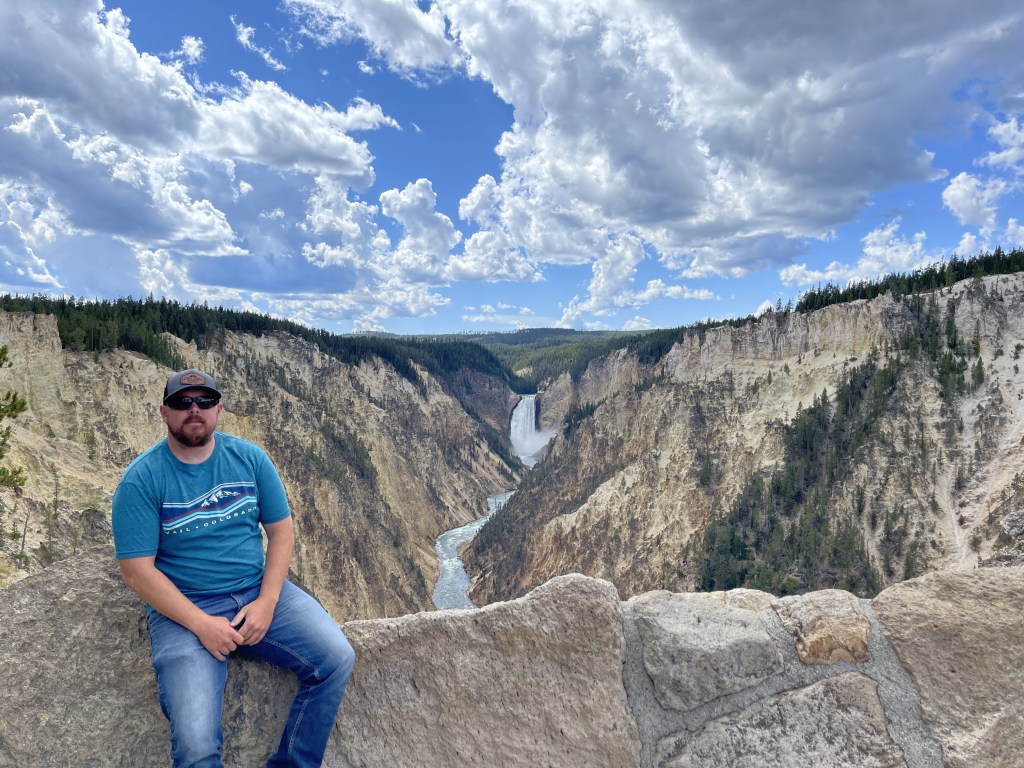
We did the main loop from the general store by heading north on Grand Loop Road along Yellowstone River and stopping along the way. The first big stop in the direction we went was Artist Point. From Artist Point, there is a spectacular view of the Lower Falls and the canyon. The canyon is also known as the Grand Canyon of Yellowstone. The walls of the canyon have been carved out by erosion over the years and they’re about 1,000 feet tall.
From there, we headed to Lower Falls. There is a nice little hike down to a concrete pad right where the waterfall begins. This is a sight to see! Its is a 308 foot waterfall that pours The mist that comes up from the fall leaves the canyon covered in green on the light colored rock formations of the canyon where the water breaks. The colors of the canyon are a result of hydrothermal alteration of rhyolite and rusting of iron in the rock as well.
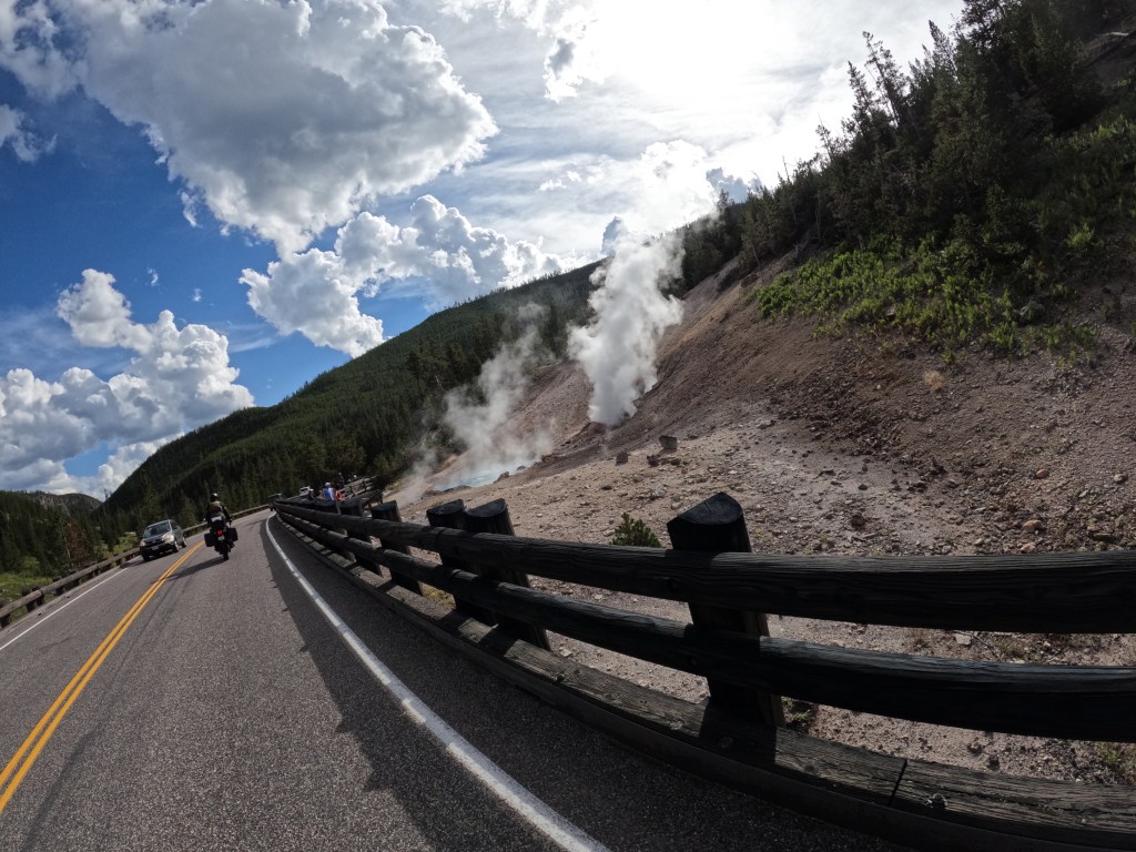
Once we had enough, we hiked back up. It’s a little bit of a workout, but totally worth it! We hopped back on the bikes and made our way to Grand Prismatic Spring. Along the way I saw a bison coming out of the woods into a field so we stopped to check it out and get some photos and videos. Once he disappeared back into the woods, we continued on.
Further down the road, we passed Fountain Paint Pots and stopped to check it out. This was unique. It is essentially a hot spring with little water. So, hydrogen sulfide gas is emitted from the volcanic activity below the crust and rises through the muddy clay. When this happens, it forms muddy bubbles which bulge and burst. It’s really neat to see!
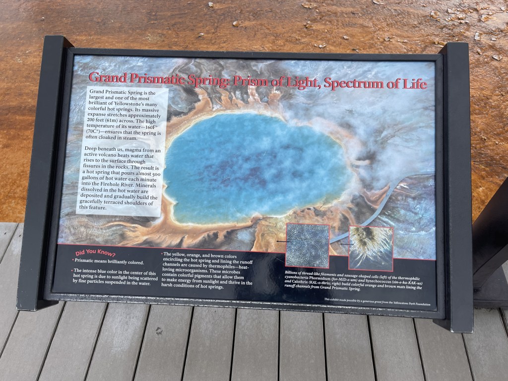
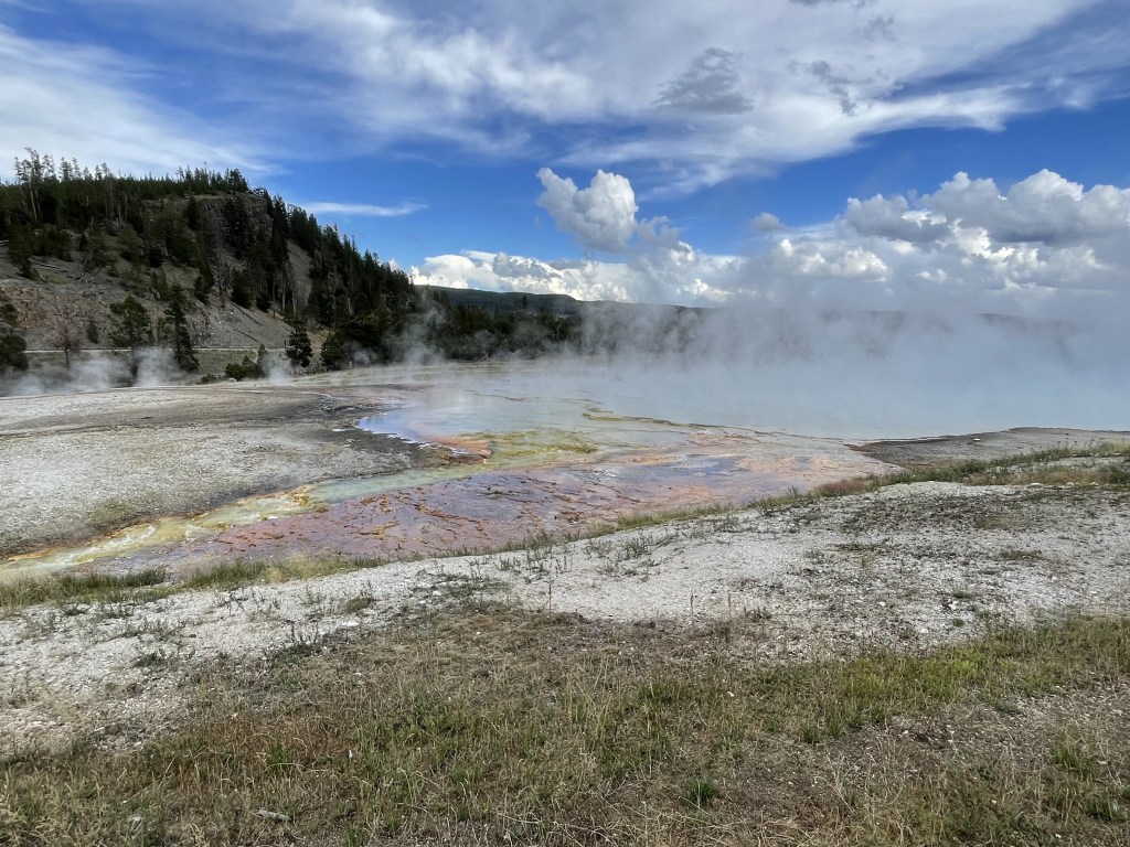
From there we headed to Grand Prismatic Spring. From an aerial view, this is an amazing hot spring to see. This spring is the largest in the United States and the third largest in the world. It is about 120 feet deep, about 370 feet long, and about 160 feet wide. There are bands of colors which look like a rainbow. This phenomenon happens due to temperature gradients in the water and the bacteria that live in each temperature gradient in the water. The bulk temperature of this spring is about 160 degrees Fahrenheit!
While walking around, we noticed there was a bison right alongside the road on the way to Old Faithful. We got the cameras ready so we could get good photos of it. Unfortunately, as we got closer, it made its way further from the road, but we were still close enough to get a really good view.
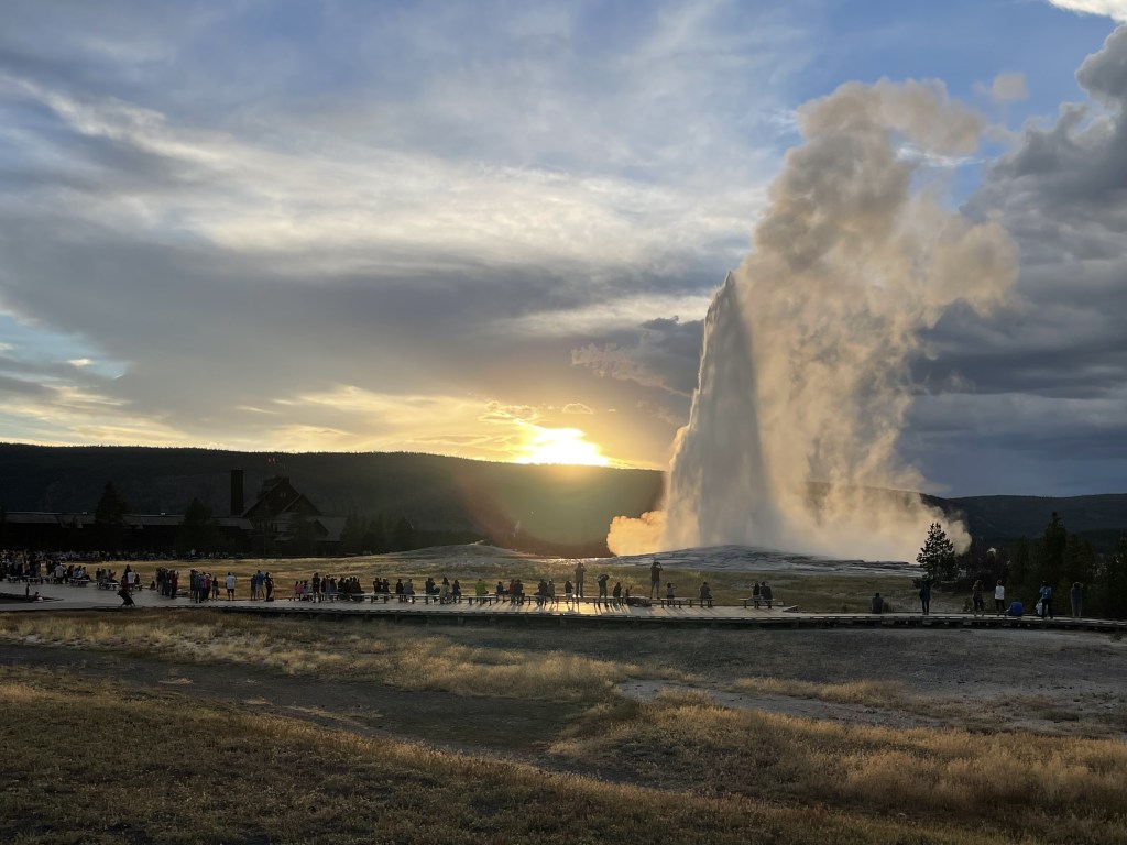
We got to Old Faithful Geyser just after seeing the bison. We must have just missed the eruption, but hey, that’s why they call it Old Faithful! It’s predicted to erupt about every 90 minutes. There are about 500 geysers in total in the park, but most of them are unpredictable. We waited until the next eruption and just hanging out. In the distance we were watching a wicked thunderstorm. By the time Old Faithful erupted, the bulk of the storm passed in the distance. We JUST missed it. The temperature also dropped to about 45 degrees. It’s not fun riding in cold, wet conditions.
We left the park and headed to West Yellowstone. My cousin was on a cross country trip to Seattle and she happened to be in West Yellowstone too. So, we met up with her and had dinner with her and her friend at The Buffalo. They had delicious food and it was cool to be able to meet up my cousin in the same town while both adventuring this beautiful country. We only did about 190 miles, but it was another awesome day!
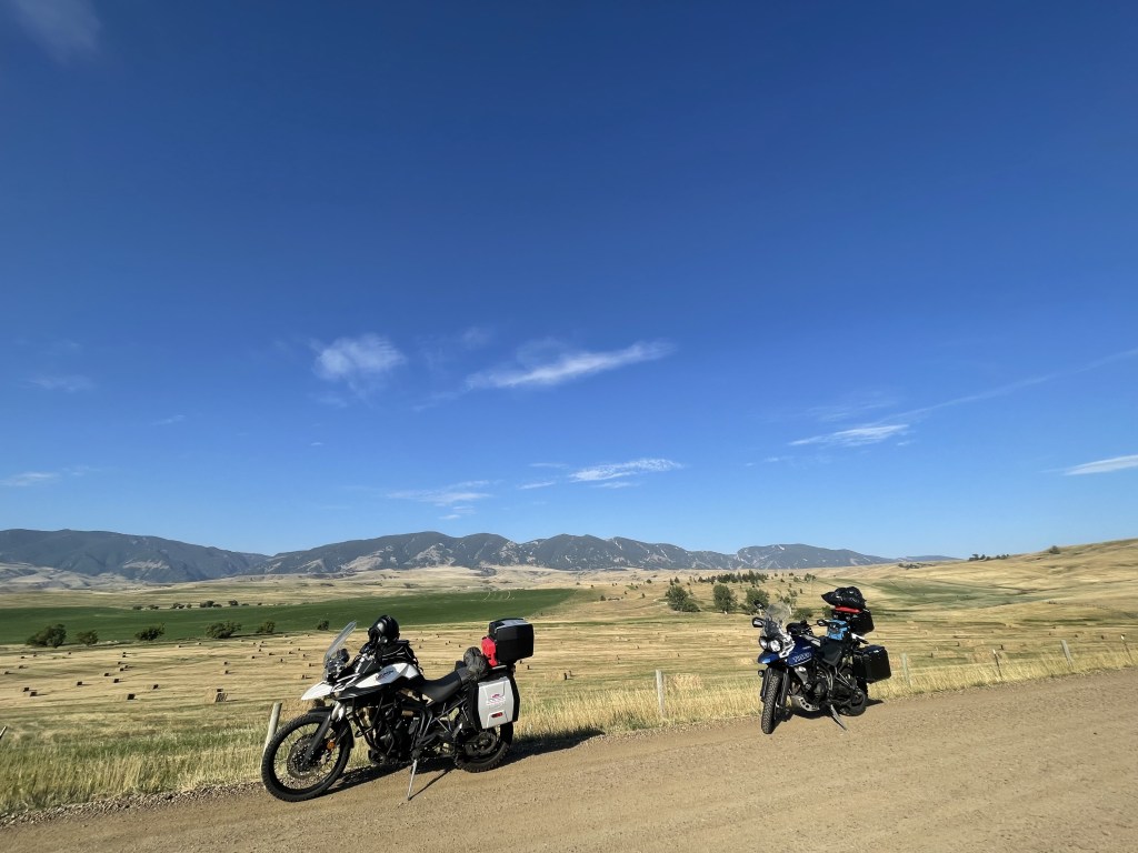
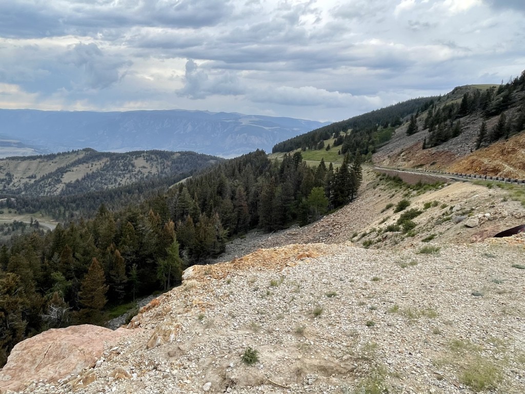
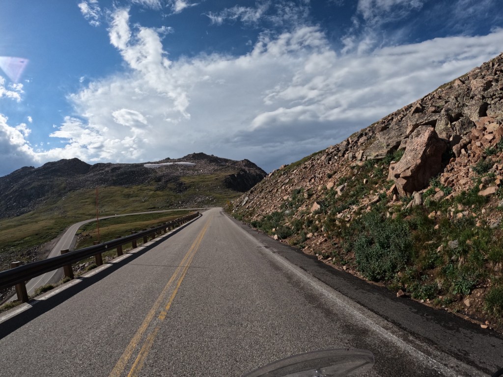
We left the hotel and stopped at Walmart to look for some micro SD cards. While there, someone saw our bikes and started talking with us and we mentioned we were headed to Beartooth Pass. He highly recommended it, so we were stoked. We left Walmart and headed towards Dayton, WY. I wanted to take route 14 through Big Horn National Forest because there is some gorgeous scenery. I went through there in 2019 on my last cross country trip and I really wanted to go through there again. Before getting to Dayton, we took a long dirt road. It was the same road I took as last time. It was a lot better on the Tiger Triumph since it is an adventure bike!
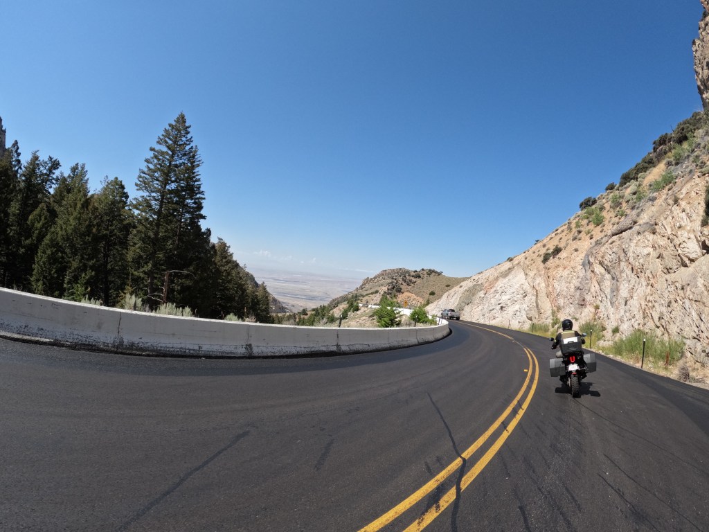
From there, we reached Dayton and got onto route 14 where there are some really fun turns and elevation gain. The views on the way up are amazing! There are a few pull offs, so we stopped for some photos. We continued to meander our way up to the top. Once we got to the top, we stopped for breakfast at Bear Lodge Resort. I remember is being a nice lodge, so I wanted to be sure we stopped. This time we arrived around mid morning. There were some others there and suggested we try their “famous” pies, so I had a piece of one of their “famous” pies. Well, I had a strawberry rhubarb and it was flippin’ delicious! It did not disappoint!
After eating, we got back on the bikes and continued on to Lovell, WY. The western section of Big Horn National Forest is spectacular with its rock formations and colors. We got some great views as we slowly descended the mountain due to road construction. We got to the bottom and it was like a desert continuing along route 14 between Lovell, WY and Red Lodge, MT on our way to Beartooth Highway (route 212). We decided to go up and over Beartooth Pass after Eddie asked a Facebook group which roads would be good to take. Someone suggested Beartooth Highway.
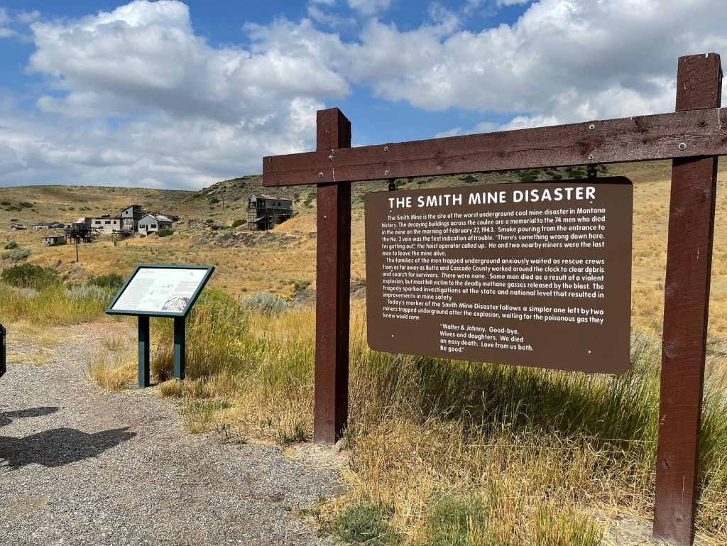
Just before getting to Red Lodge, we pulled off to take a break and lube the chains. We pulled off at the Smith Mine historic marker where you could see an old mine. Well, it was a tragic historic marker where 74 miners lost their lives in 1943 due to an explosion of methane gas. It was the worst underground coal mine disaster in Montana history.
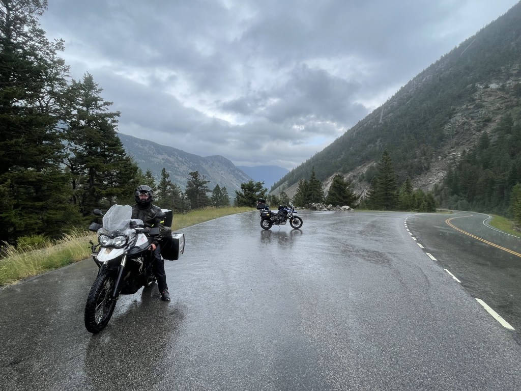
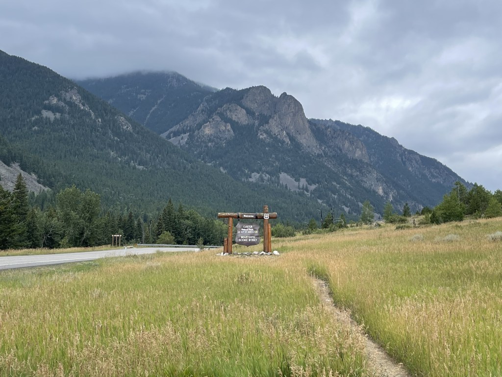
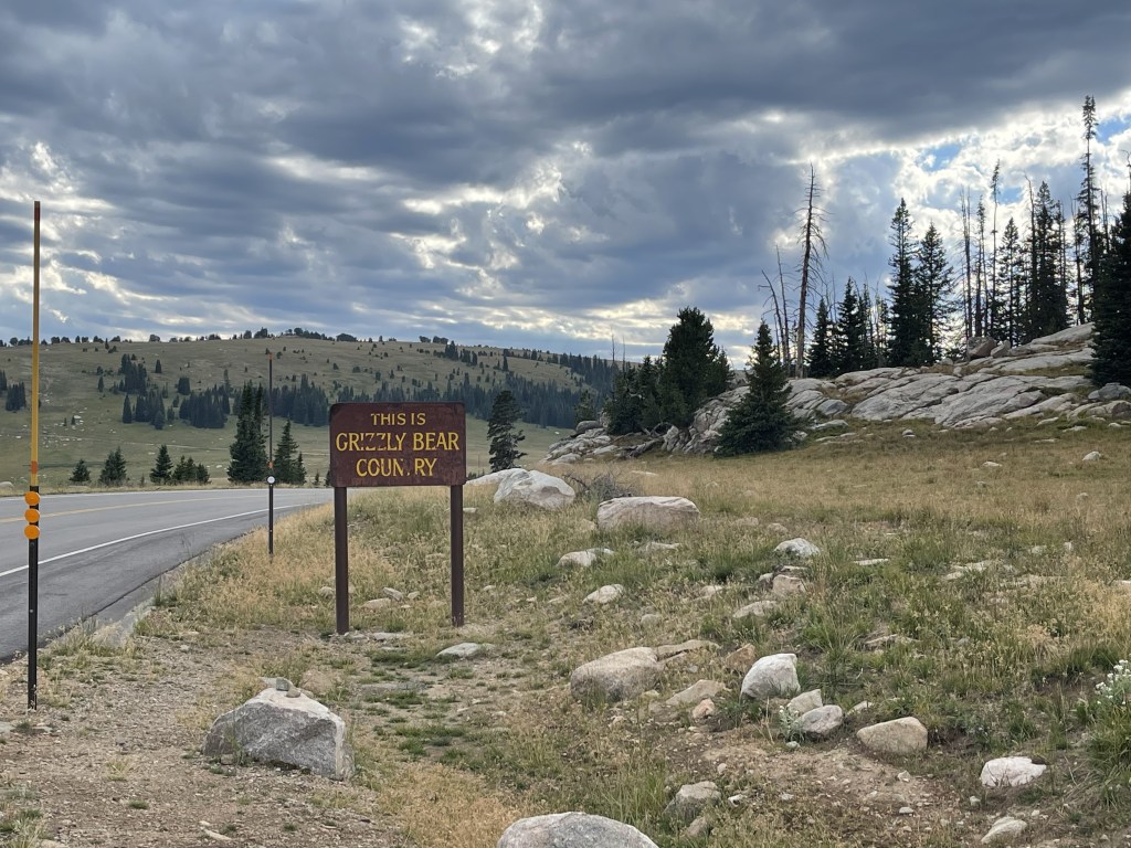
Just up the road, we arrived in Red Lodge and fueled up. It was going to be a long distance until we would pass another gas station. We headed into Custer National Forest. Unfortunately, the weather was crumby and the views were not what we were expecting. When we first got to started on Beartooth Highway, storm clouds were coming in. Eddie had high hopes that the rain would hold off, but we weren’t so lucky! We made it a few miles in and it started to rain and hail. So, we decided to turn around so that we could enjoy the road when the storm was over. We got into Red Lodge and looked for a place to wait out the weather in the mountains. As we rode through the town, we could see the aftermath from the June 2022 floods. We rode by the one building and is was in bad shape. Check the link -> (https://www.foxweather.com/watch/play-5b974ebab000a15)
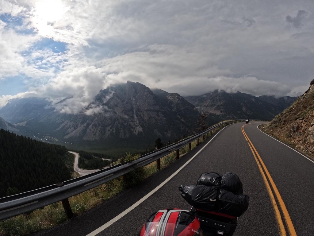
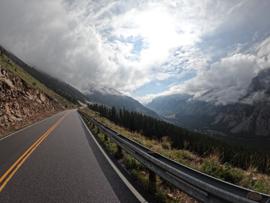
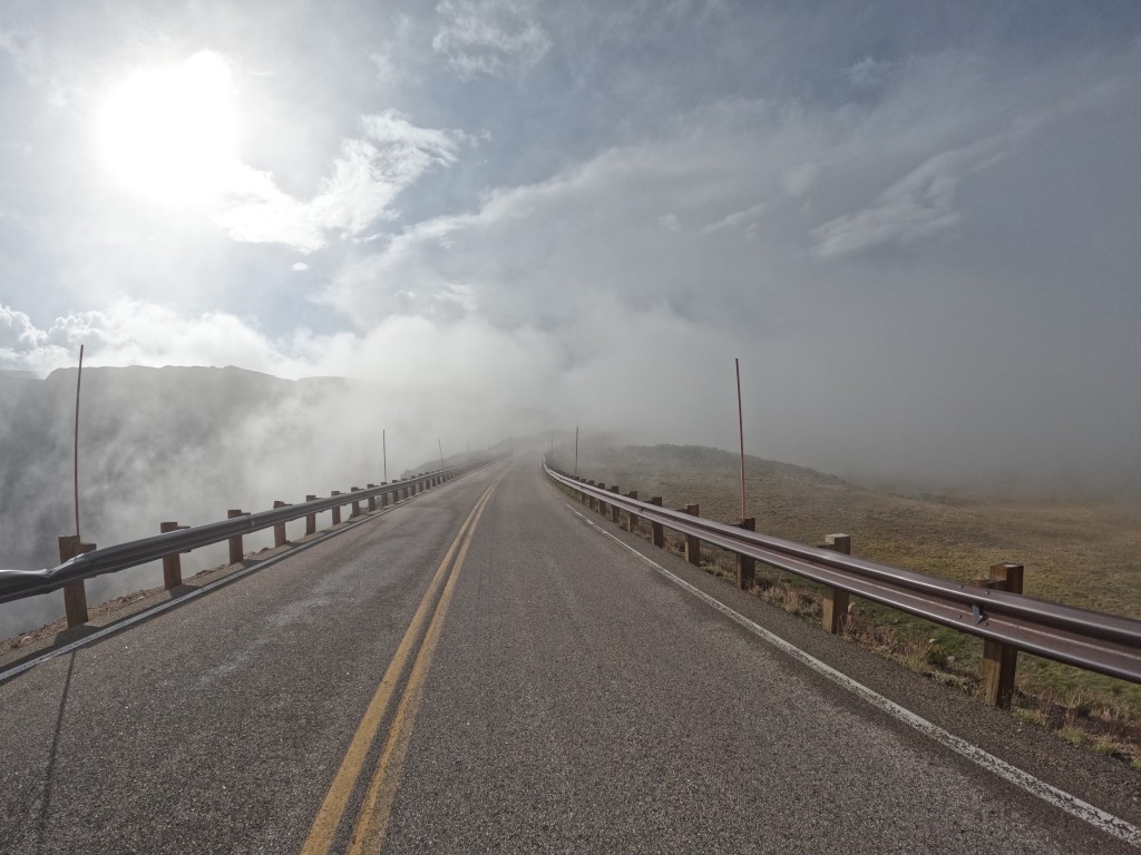
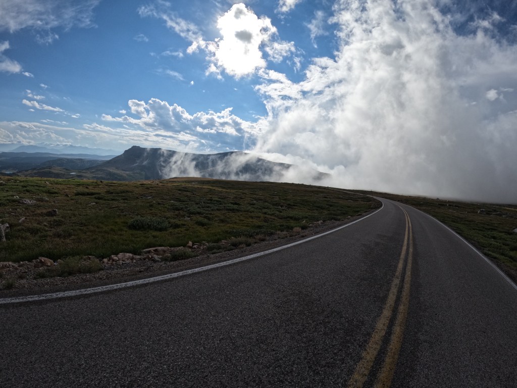
After a little break and watching the radar, we headed back for round two! The roads were a little wet and it was incredibly foggy, but it was quite amazing! There was switchback after switchback until we reached the top of the pass. Beartooth Pass stands at 10,947 feet above sea level. Along the way we stopped for pictures. It was have been spectacular on a clear day. If I am ever back in the area, I will definitely be doing that again!
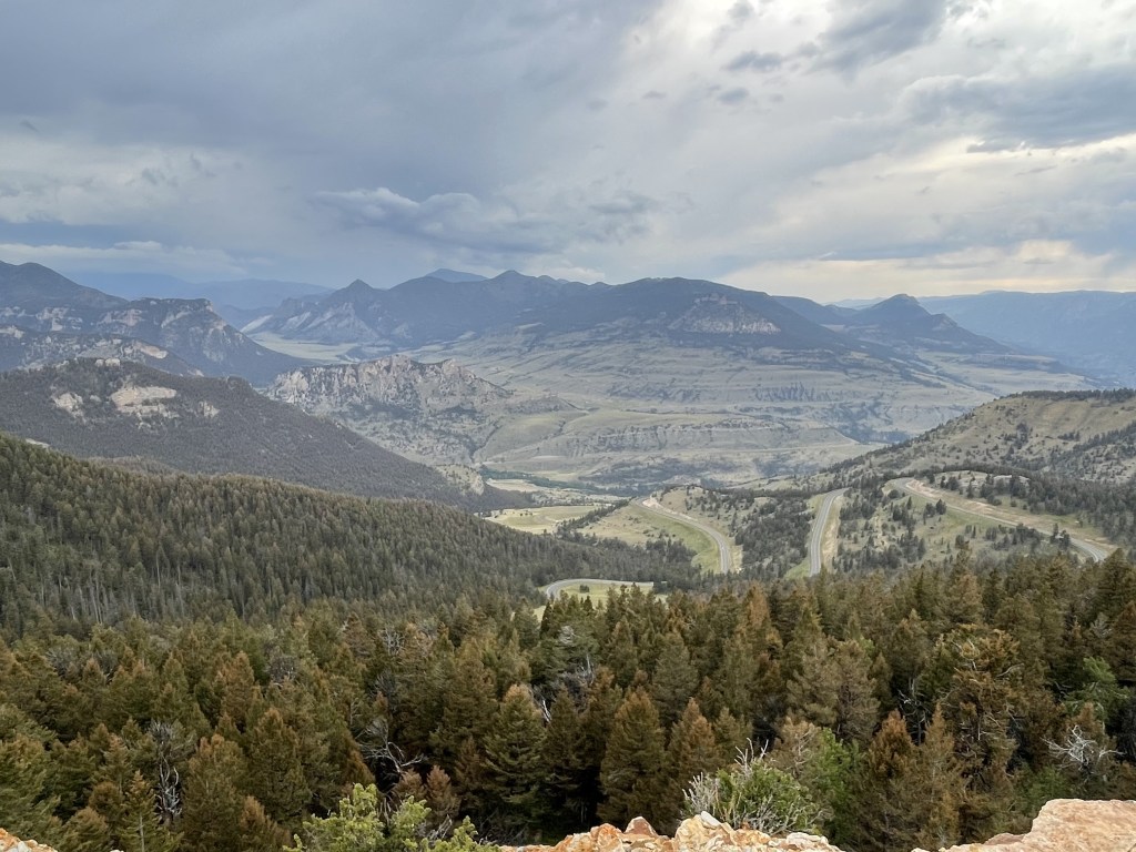
From there we descended the other side and were on our way to Cody, WY. Once we made our way back near the bottom we turned onto route 296. This road did not disappoint either. The clouds were “trapped” in the mountains on the other side so the skies were more clear and the roads were dry. We rode through some more beautiful scenery until we started to climb the Absaroka Range on the Chief Joseph Scenic Byway. There were some great switchbacks here too where we were able to enjoy the ride up. We got to the top of Dead Indian Pass and, yet again, more amazing views! Dead Indian Pass stands at 8,071 feet above sea level and looking down you could see the roadway we just took.
After taking some photos at the top, we continued to Cody and found a hotel. We got some food and hung out. Overall, it was an awesome day! We only did about 320 miles on the day, but it felt like a long day since we stopped a few times and saw so many great views!
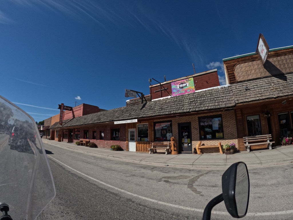
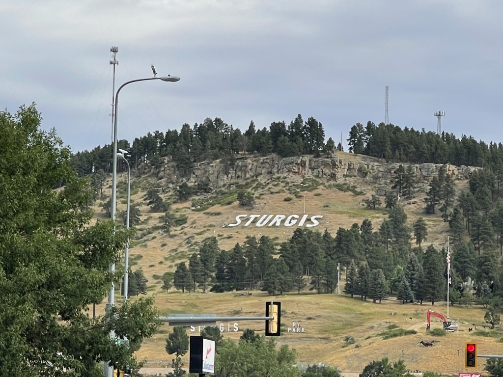
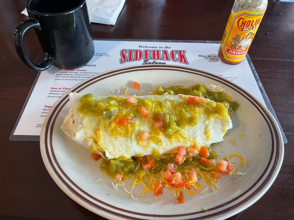
We got up and took our time. We decided to get breakfast then tour Sturgis a little bit before making our way towards Devils Tower. So, we went to Sidehack Saloon for breakfast then stopped at the Harley Davidson store and also the local motorsports dealer. Eddie wanted to see about tubes for his tires in case he was to get a flat. We were getting ready to head out of town when it started to rain. So we suited up and headed west on route 24 and crossed into Wyoming.
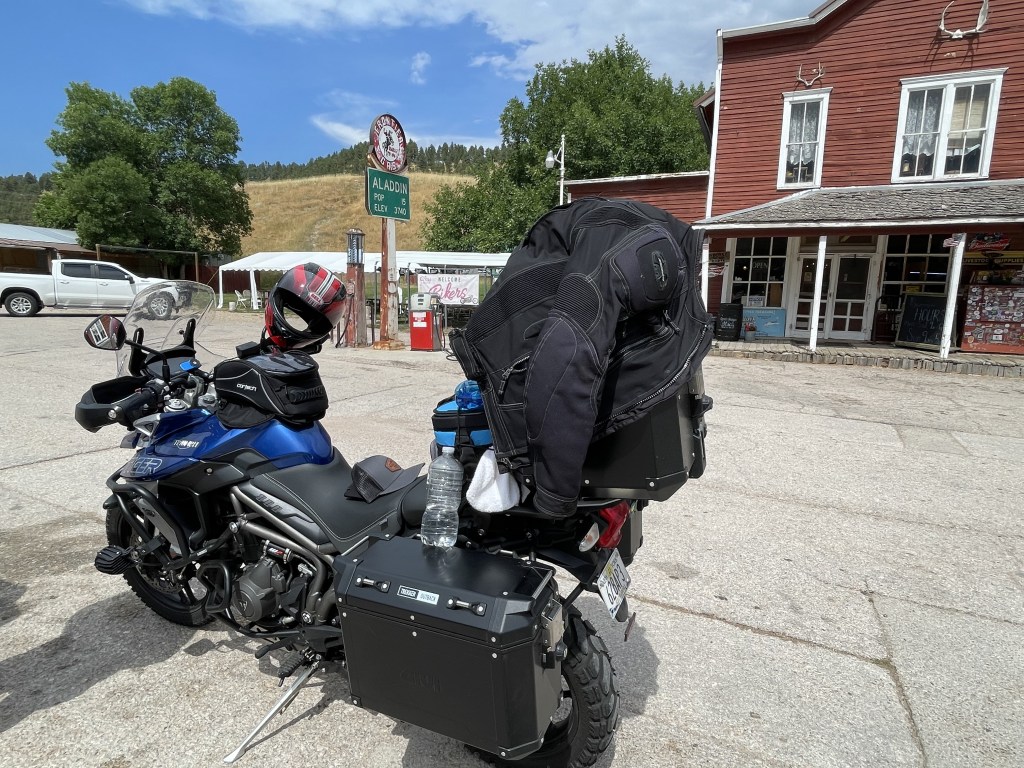
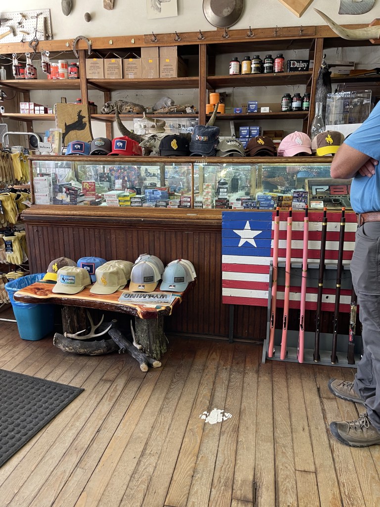
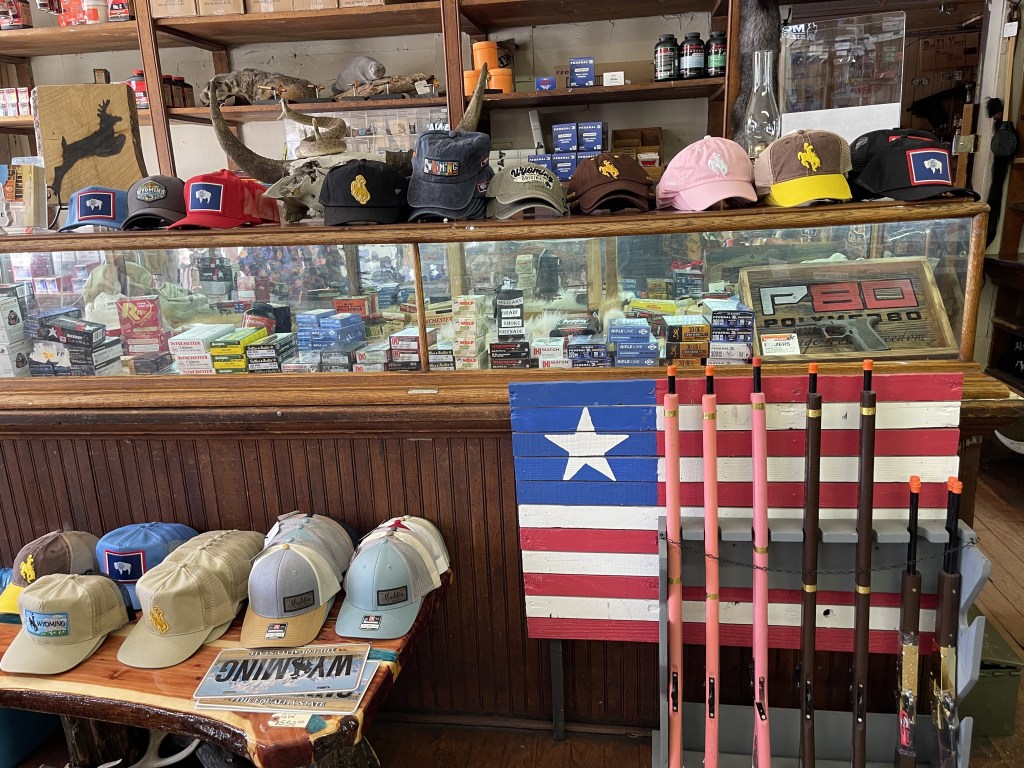
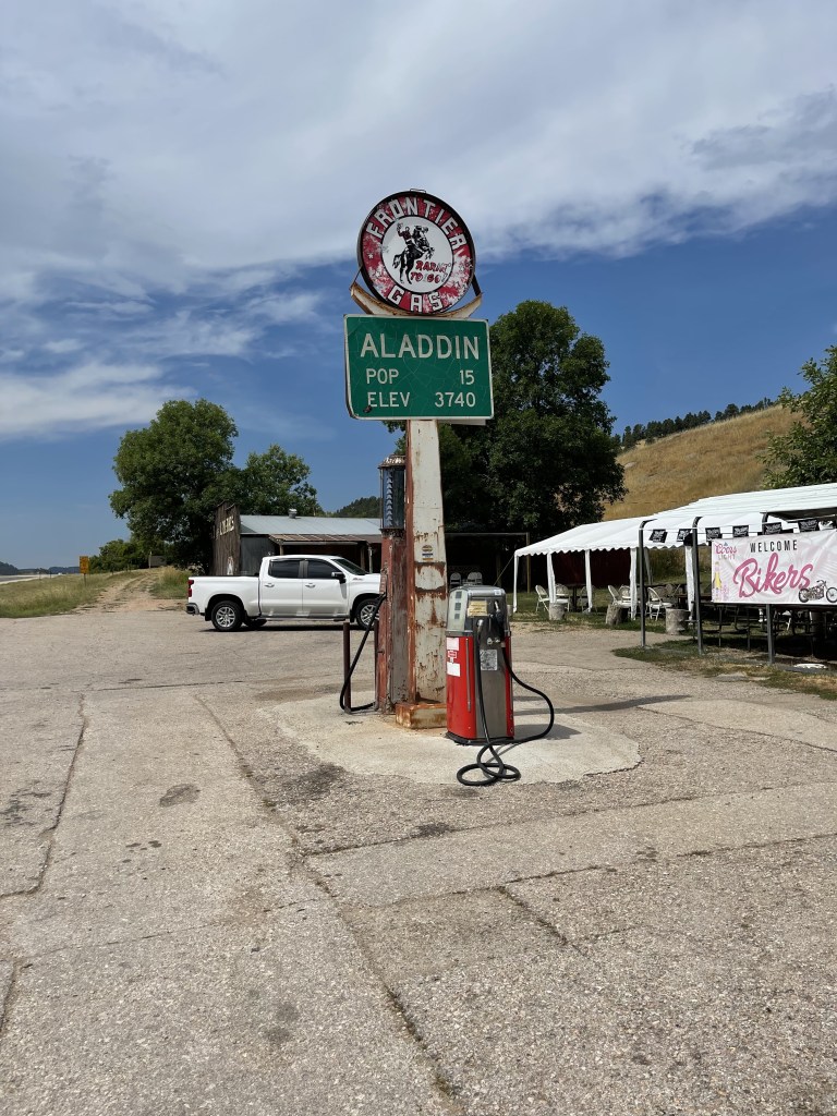
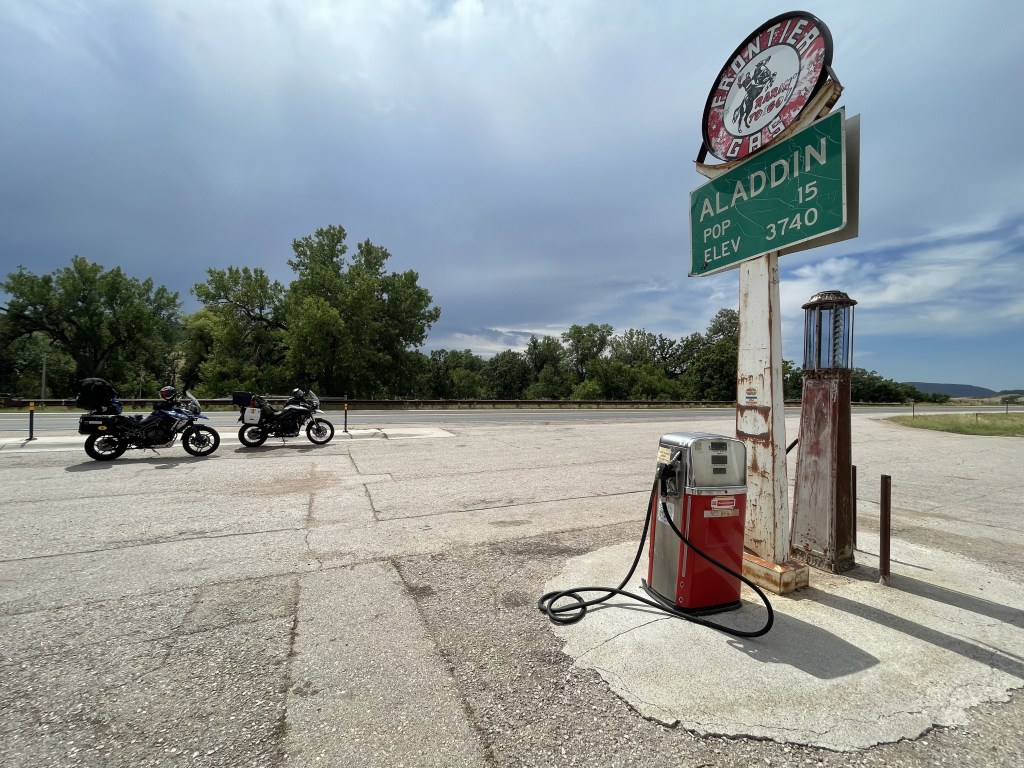
The weather cleared up and we stopped to take the rain gear off at the local general store in Aladdin, WY. This little town has a population of only 15! Once we gt our rain gear off, we went inside to check it out and grab some water. Well, they had some cool stuff in there. They sold rifles, pistols, and ammunition. I thought that was awesome! Very different than the northeast.
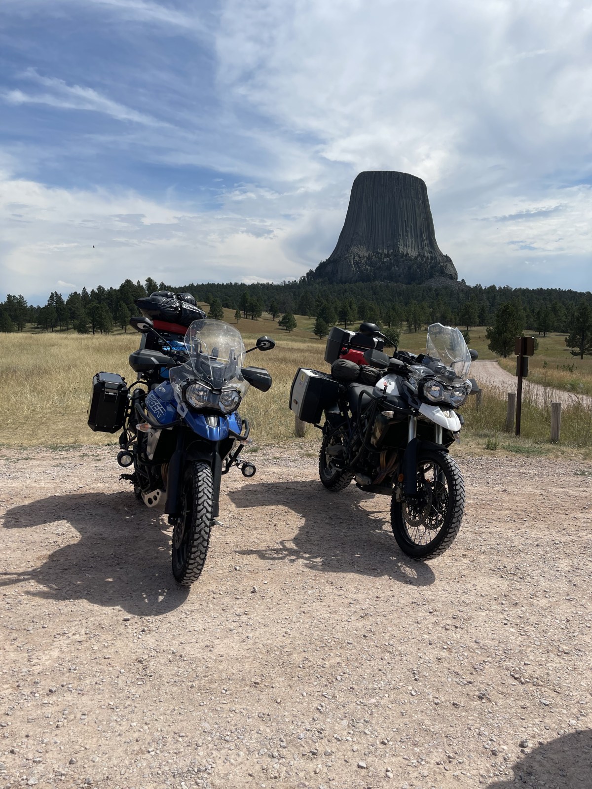
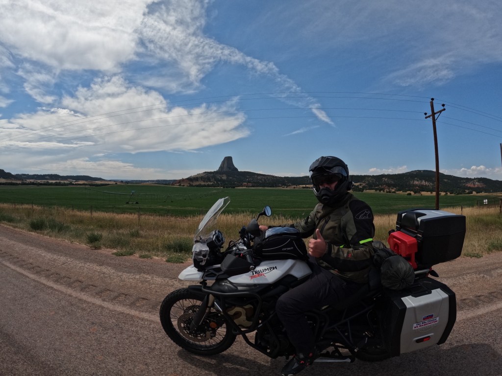
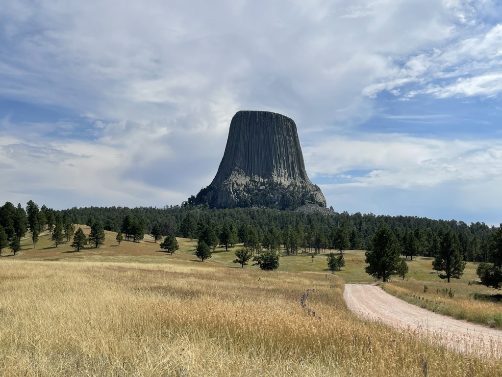
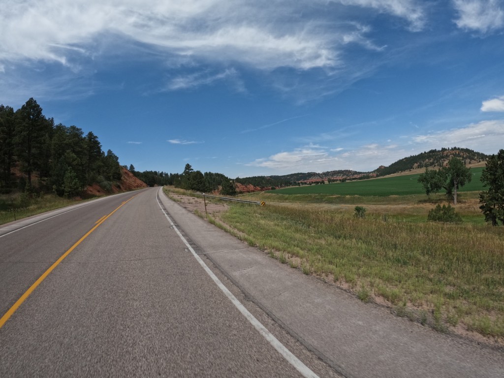
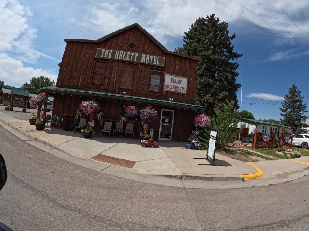
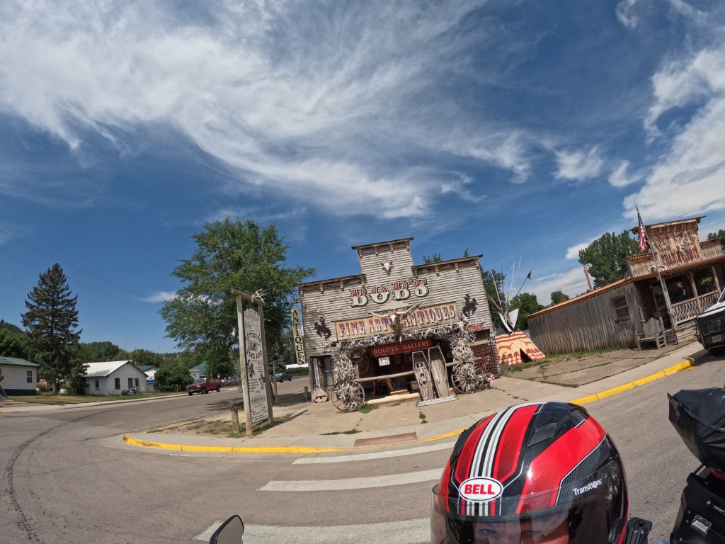
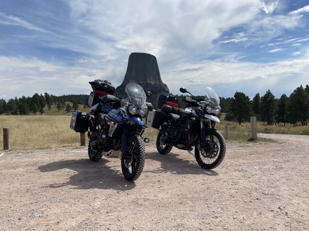
From there we continued on route 24 through Hulett and finally to Devils Tower. The area is gorgeous with red rock formations and luscious green grass. Then, out of nowhere, you see Devils Tower. It’s quite impressive that there is a massive rock sticking out of the ground in what seems to be a very random location. We stopped to check it out. While there, we met a guy from Tupper Lake, NY and talked to him for a bit. He was on a Honda CRF300 Rally. Unlike us, he had trailered his bike to Rapid City. We didn’t do any hiking, just checked it out and headed out.
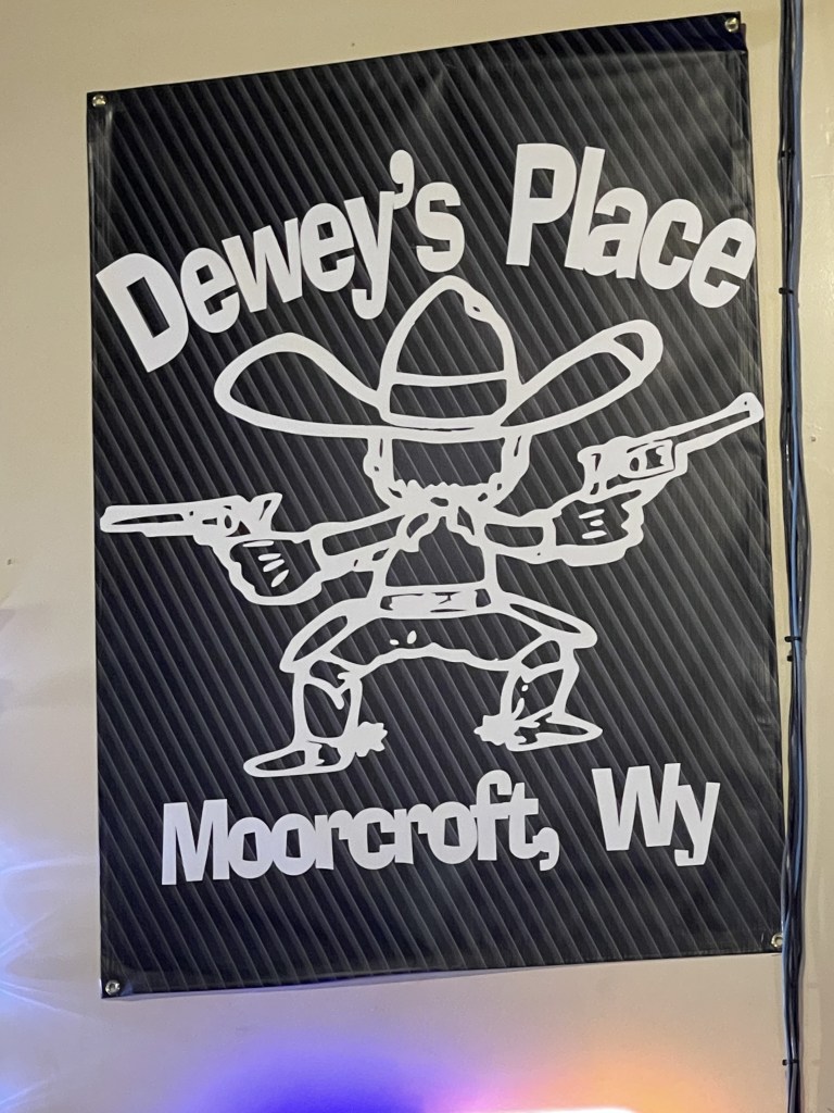
We left to make our way towards Big Horn National Forest which was the next stop planned stop. It was getting warm so we took a quick break in Moorcroft, WY to grab a drink and cool off. The place we stopped at was called Dewey’s Place. They perform goat roping inside twice a year! What?! It’s like an indoor rodeo!
While taking a break and reviewing the radar, we decided to take I-90W to Sheradin, WY to avoid the storms. It was a success! If we continued to avoid the highway, we would have hit a bad storm. To the north we saw a lot of rain and lightening. We only hit some light rain for a few minutes, but nothing worth suiting up for. Shortly after, we arrived in Sheradin and found a hotel. Right after checking, it started pouring. We ended the day just in time with about 250 miles.