2024 Cross Country Trip: Day 6

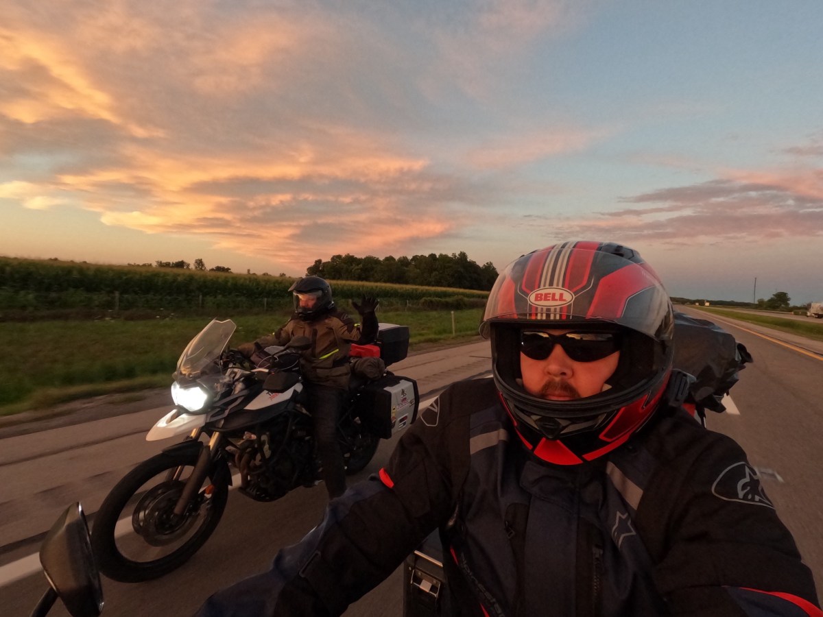
Wednesday, August 14, 2024

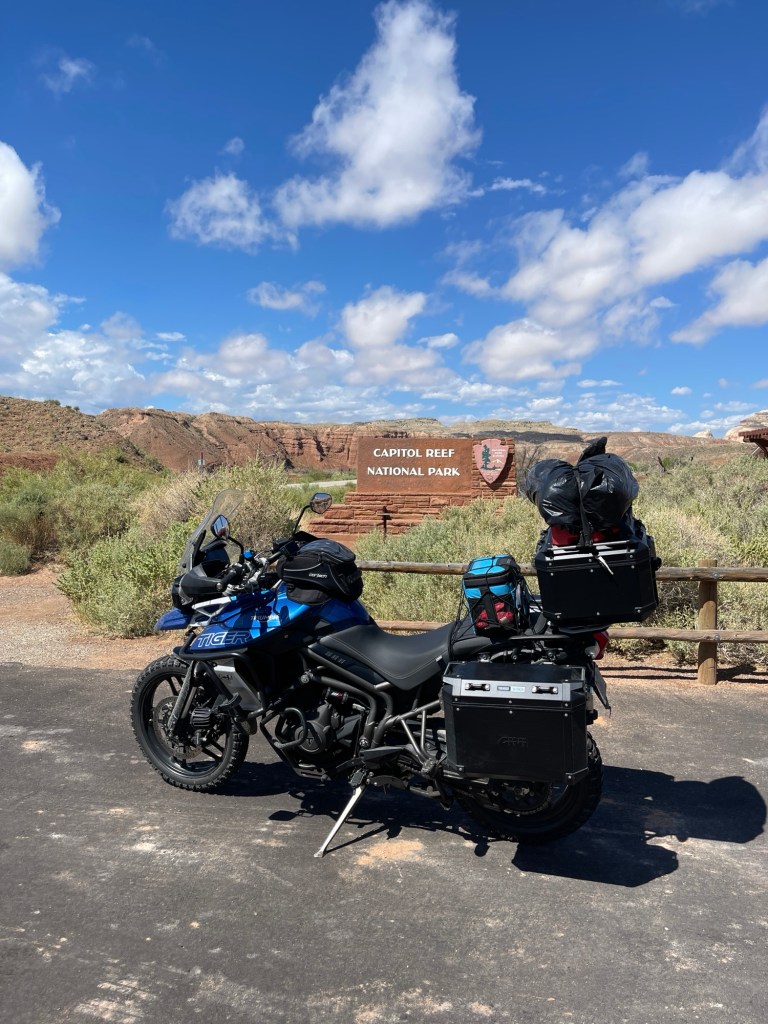
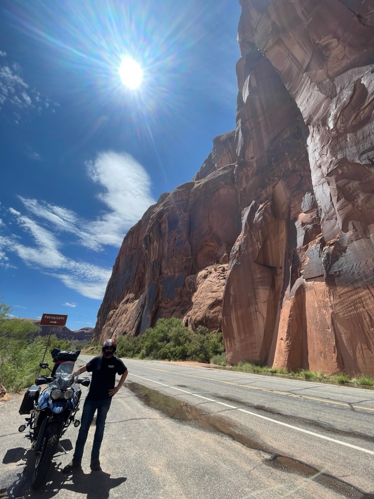
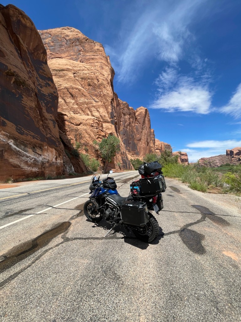
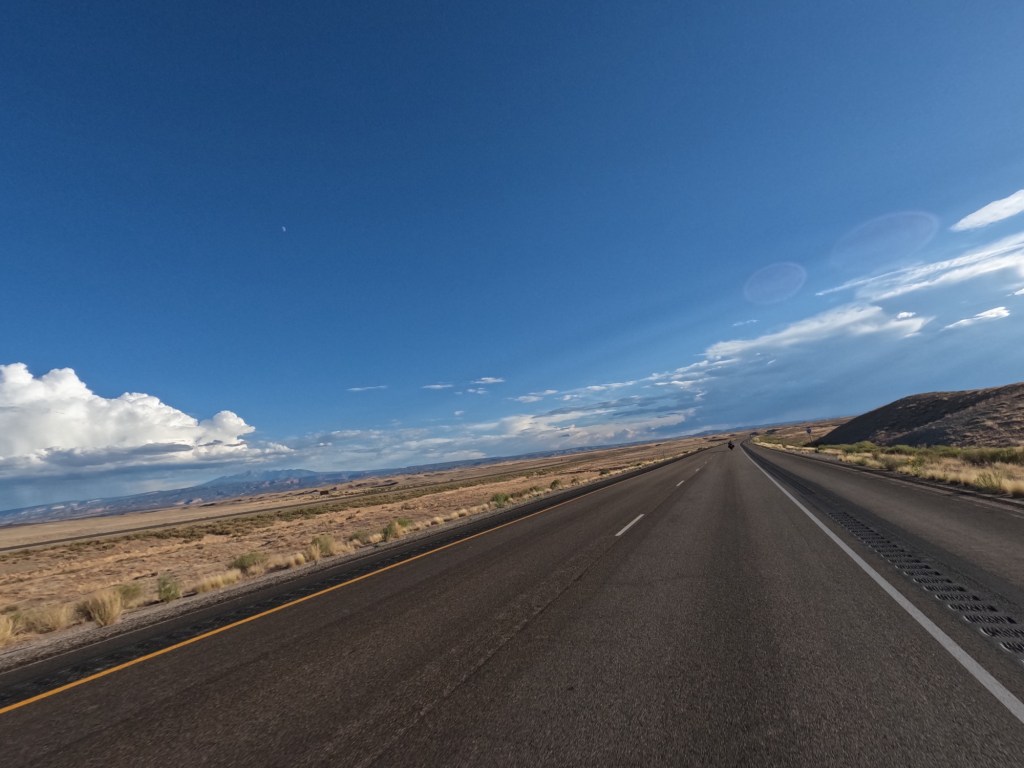
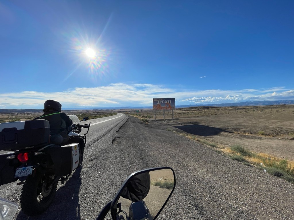
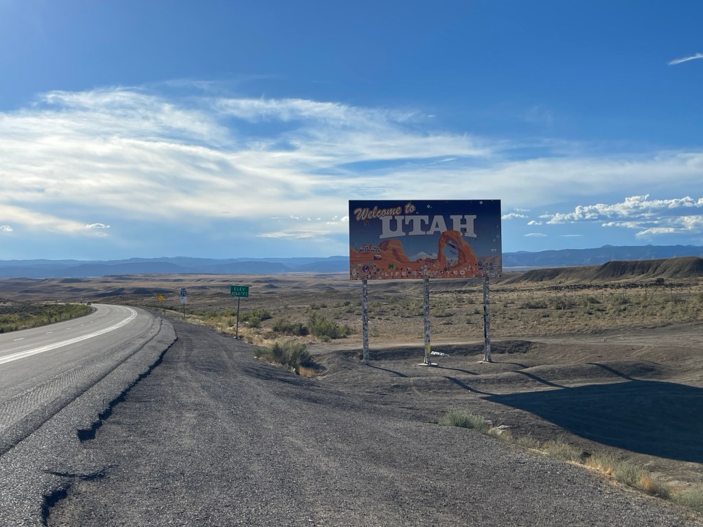
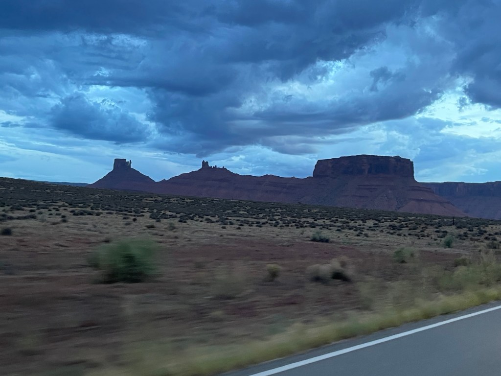
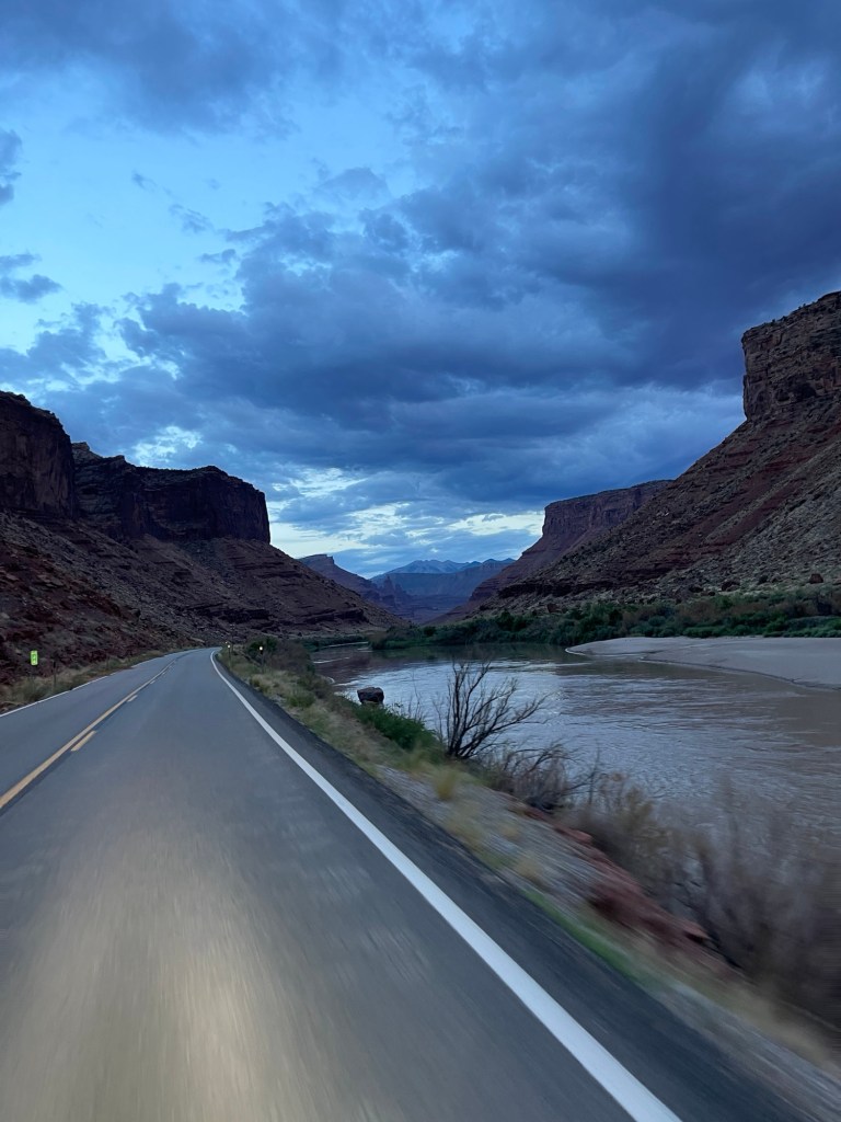
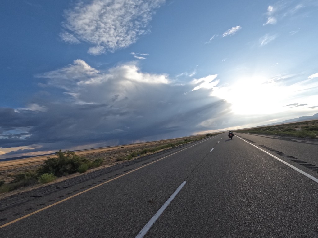
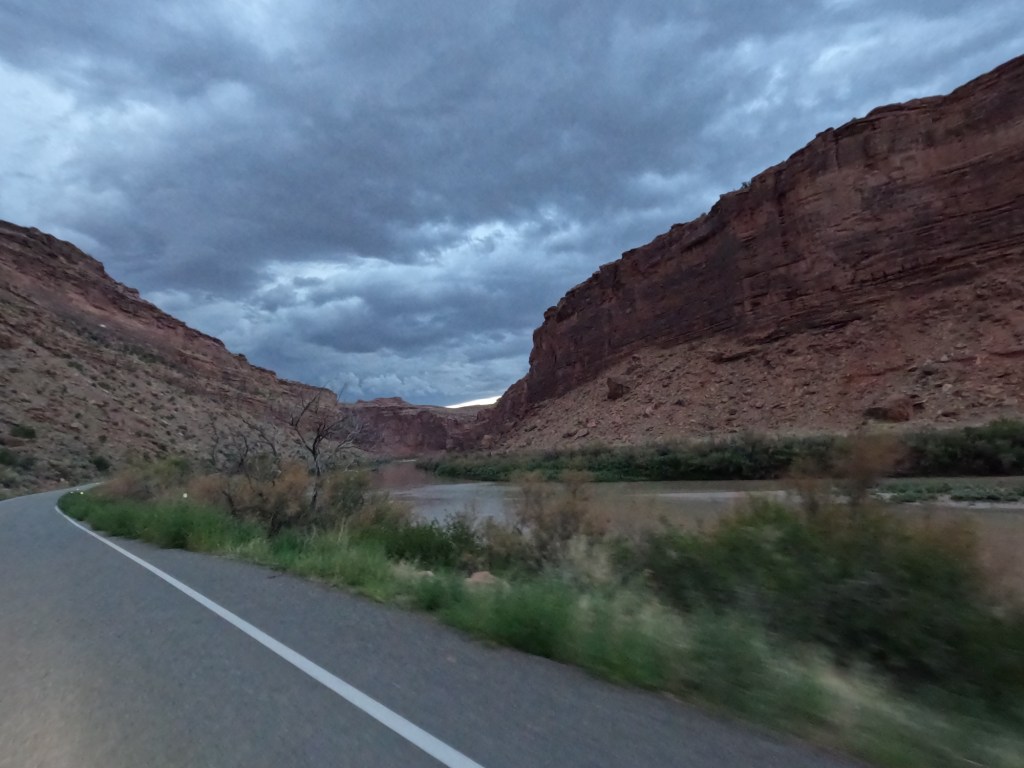
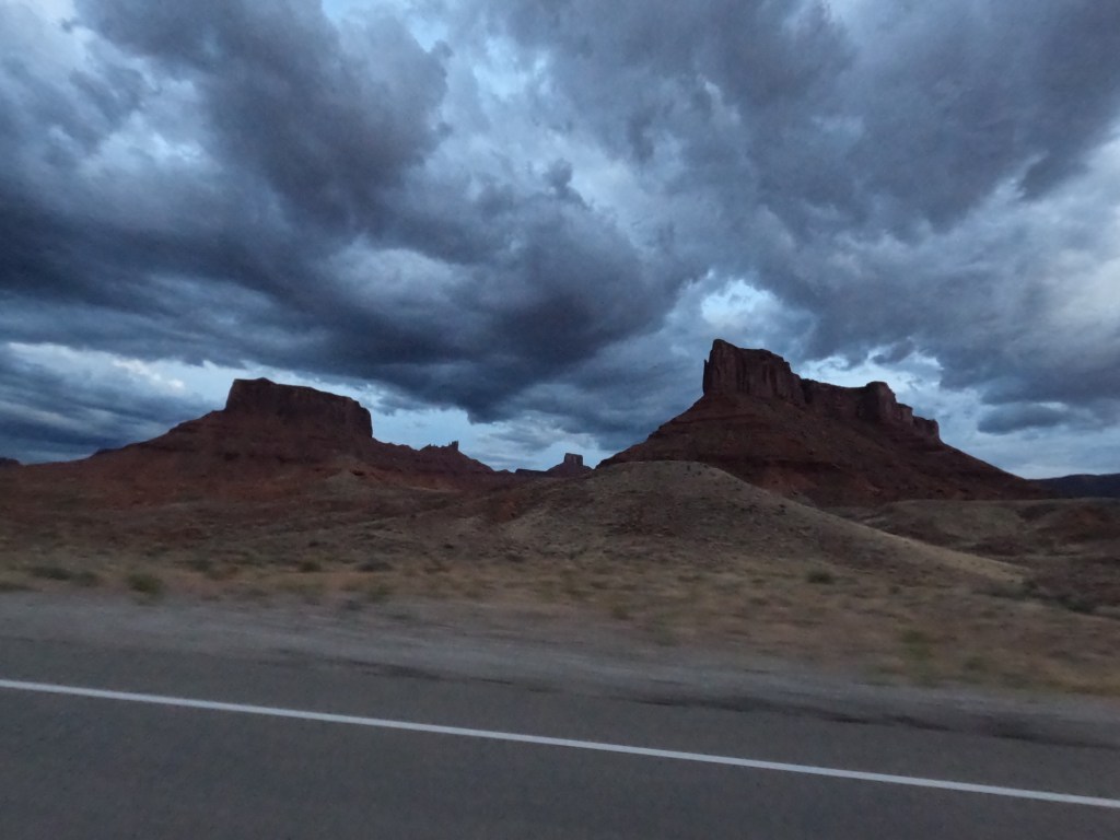
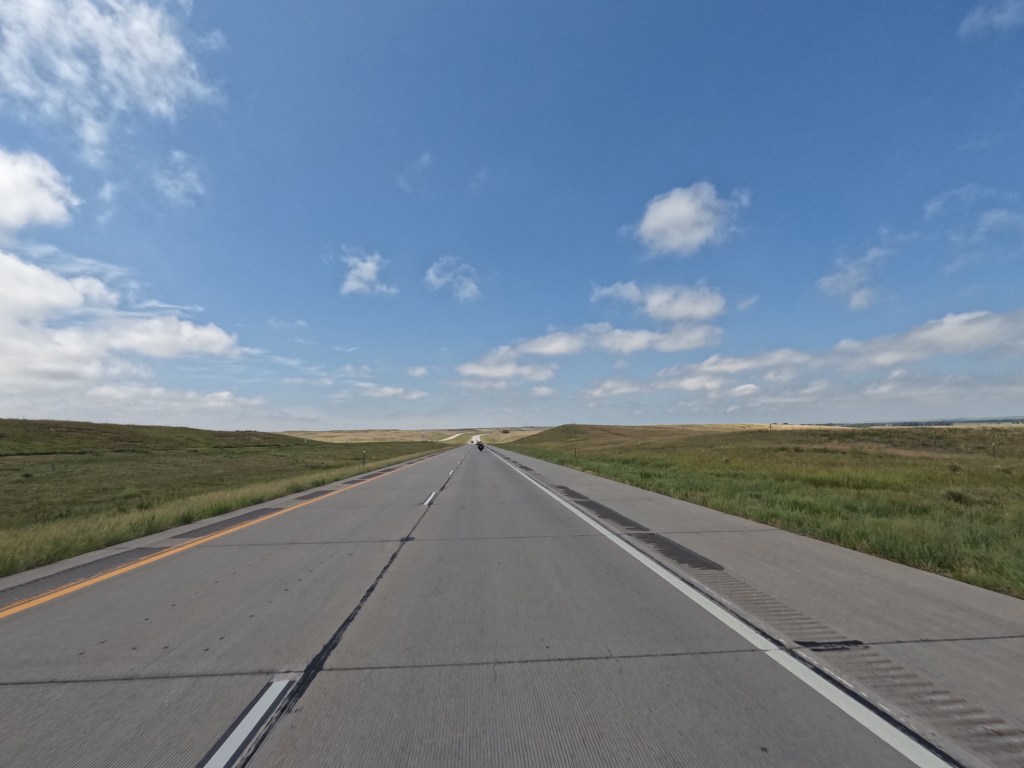
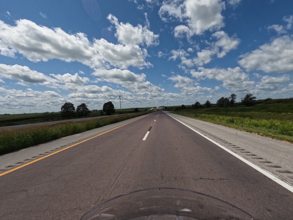
We started the day with a goal to make it to Zion and make some stops along the way. We knew it was going to be a little longer than the last couple days so we left a little earlier. We stopped at Arches National Park but they required a registration for entry, so we did not go in. We headed up north on 191 towards Green River, UT.

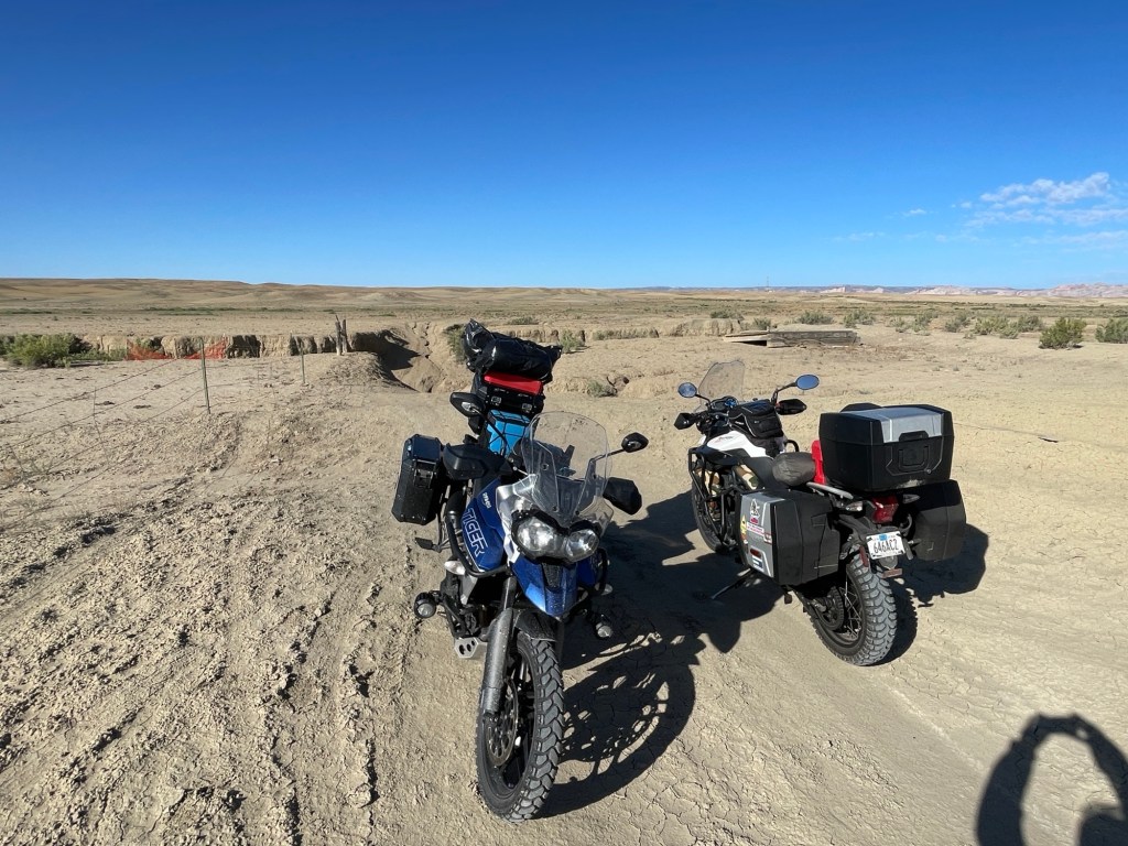
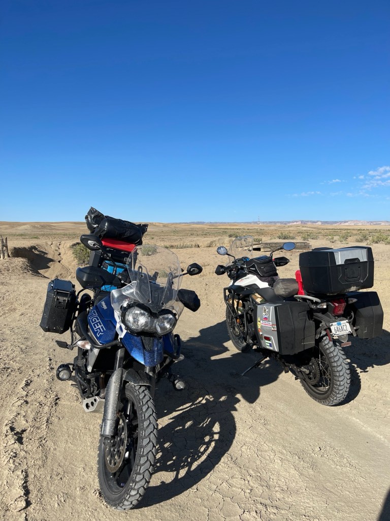
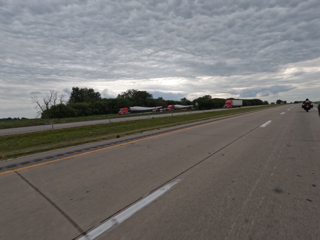
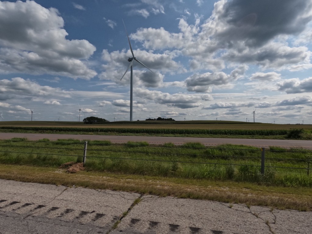
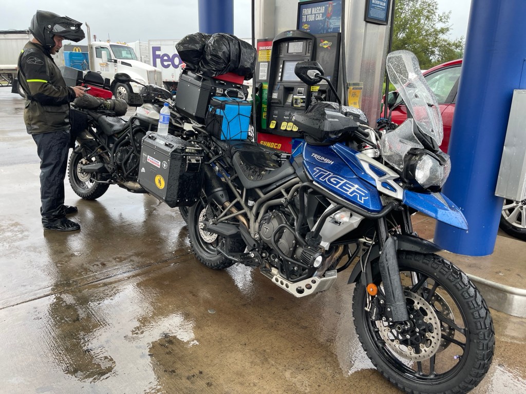
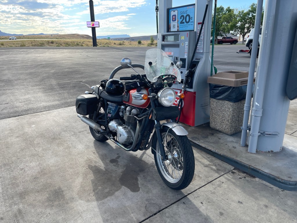
After getting to Green River, we stopped to fill up our tanks. There are some interstate signs indicating there’s no fuel for 100 plus miles and we wanted to be sure we had plenty. There was another motorcyclist that we met while getting gas. He had a Triumph Bonneville with 190,000 miles. He was traveling from Rhode Island to a California.

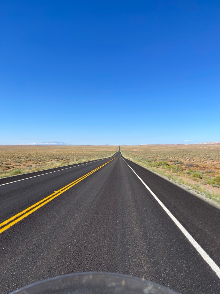
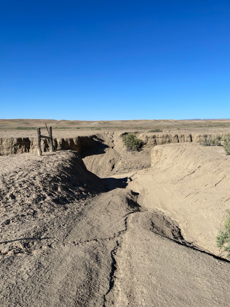
We left the gas station and since I had “avoid highways” selected on Google maps it took us down County Road which was a sandy dirt road. Well that turned into 9 Mile Wash Road, and for good reason. We weren’t going to make it through the wash with the steep grade and ruts caused by rain without difficulty so we just turned around and went back to the interstate until we got to state route 24.

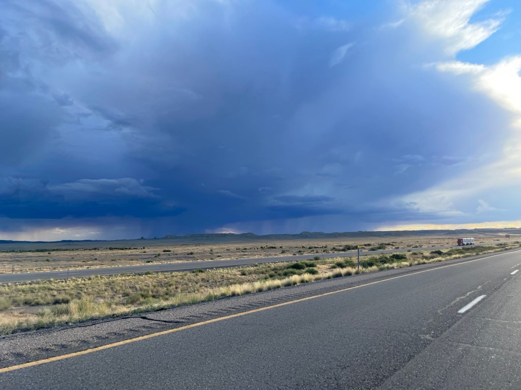
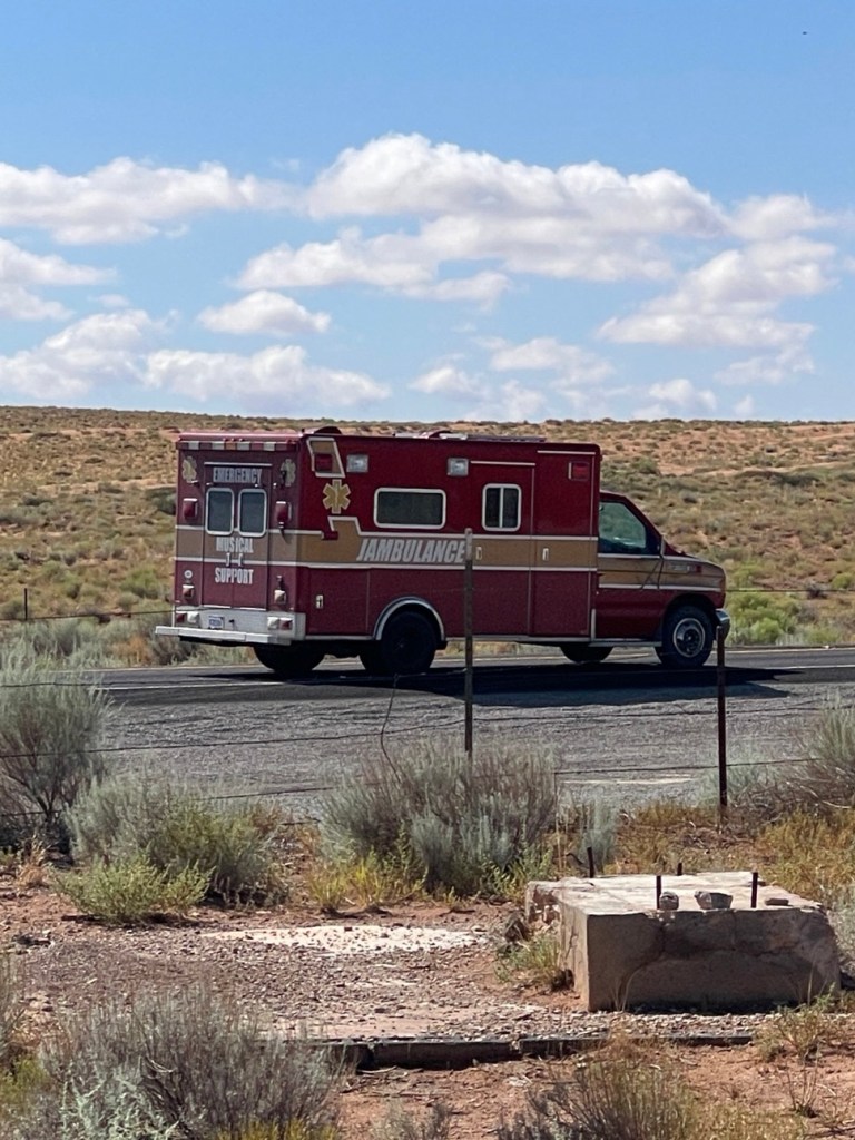
We followed this south and passed Goblin State Park. We were debating going because I was told it’s amazing but we were concerned about gas since fuel stations are few and far between. The attractions there are 29 miles from the entrance, which is about 60 miles round trip. So we took a little break. While waiting there we saw what appeared to be an ambulance, but it was a “Jambulance” haha. Someone must have converted an ambulance into a mobile jamming van.

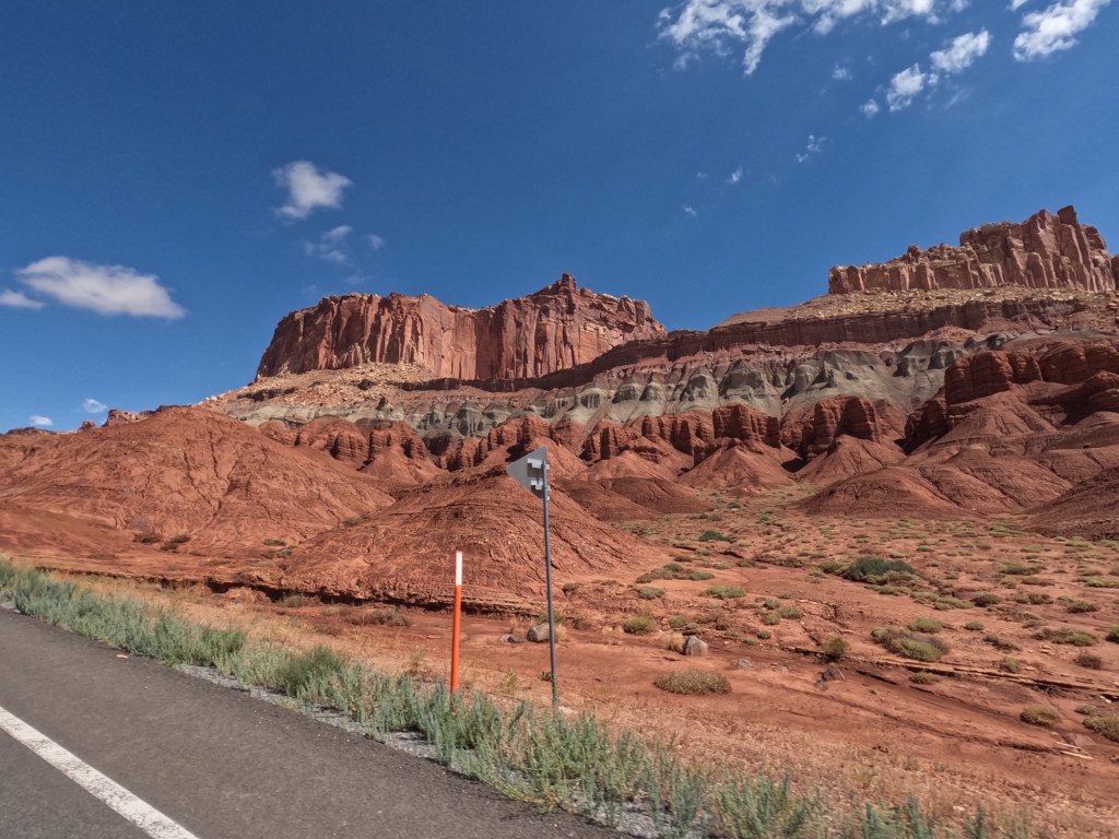
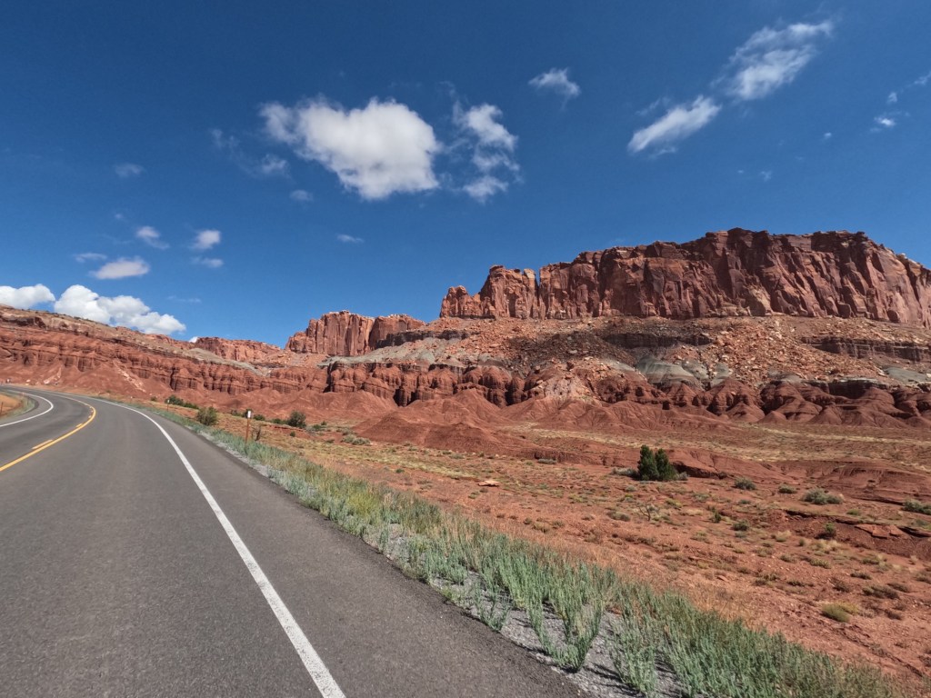
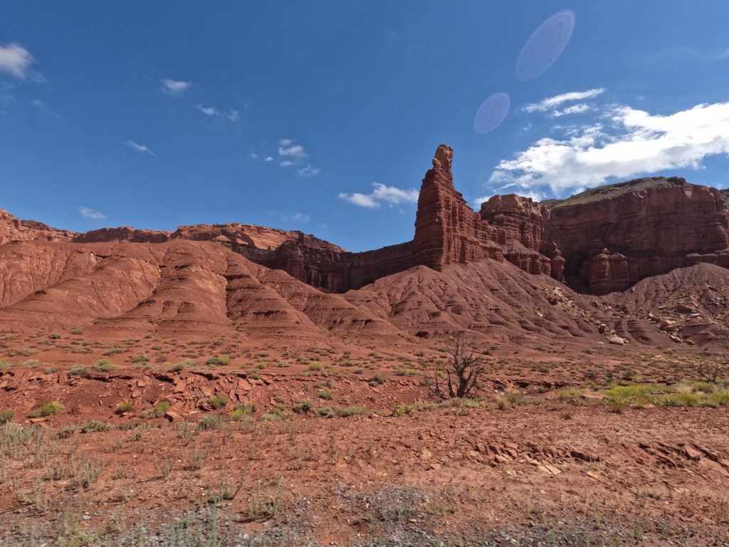
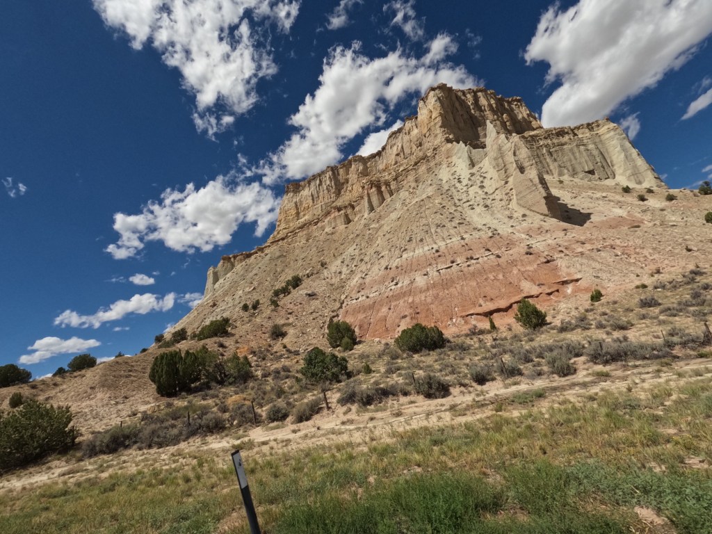
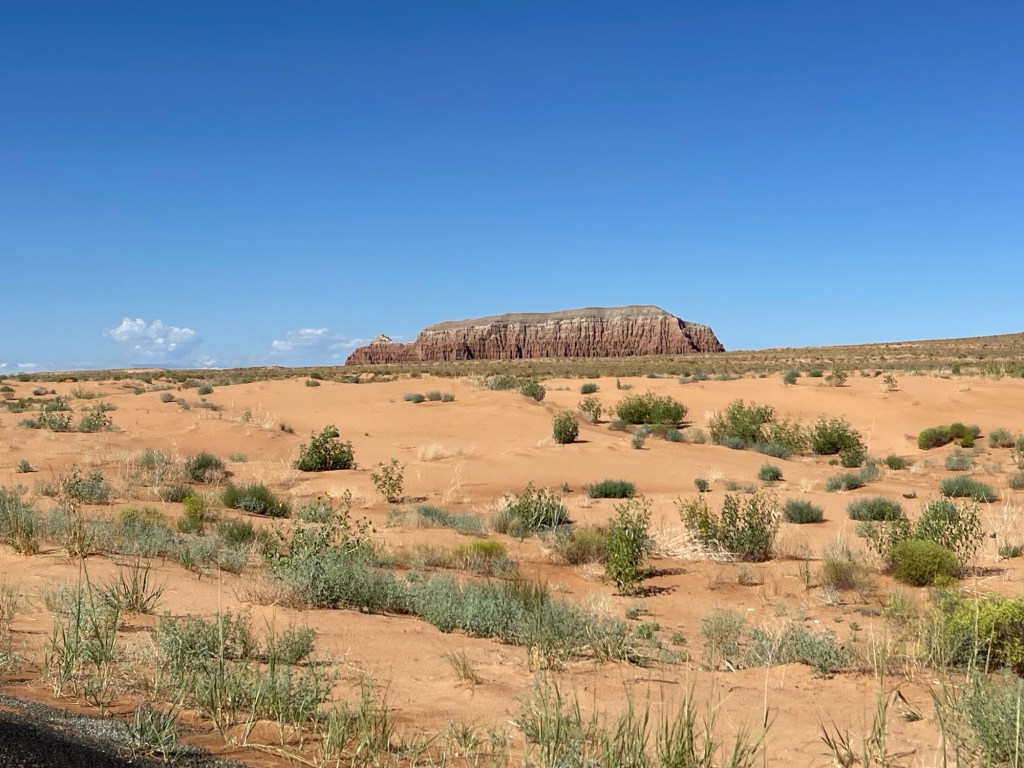
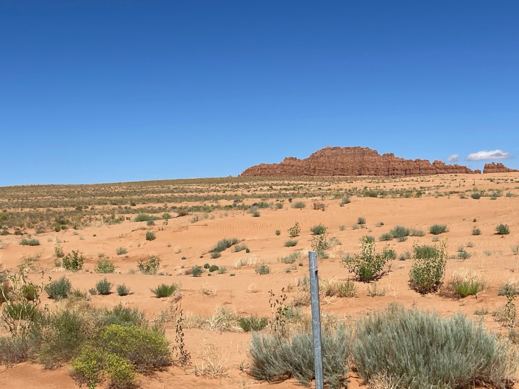
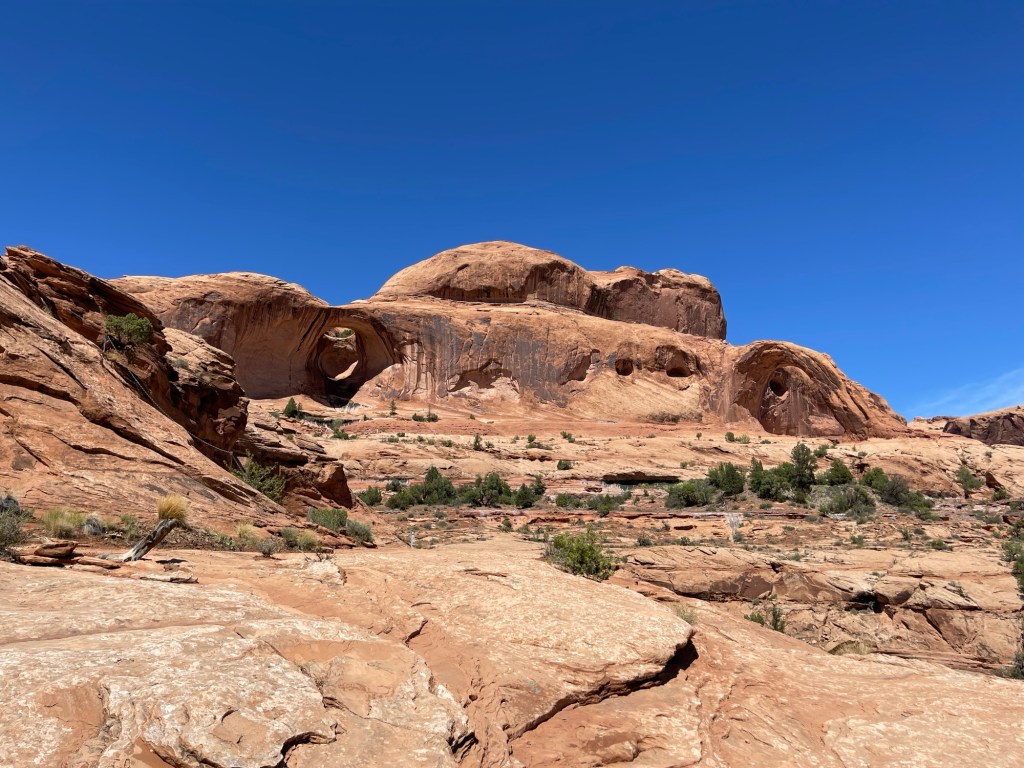
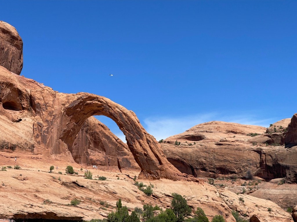
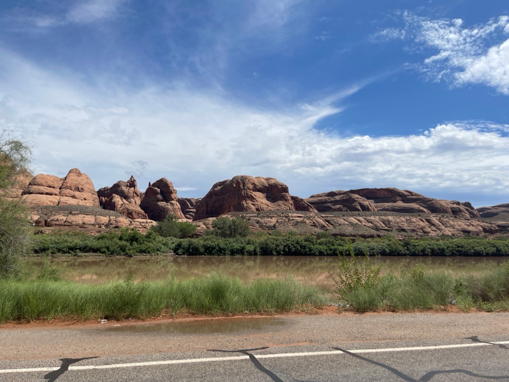
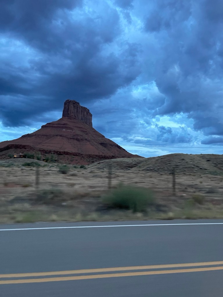
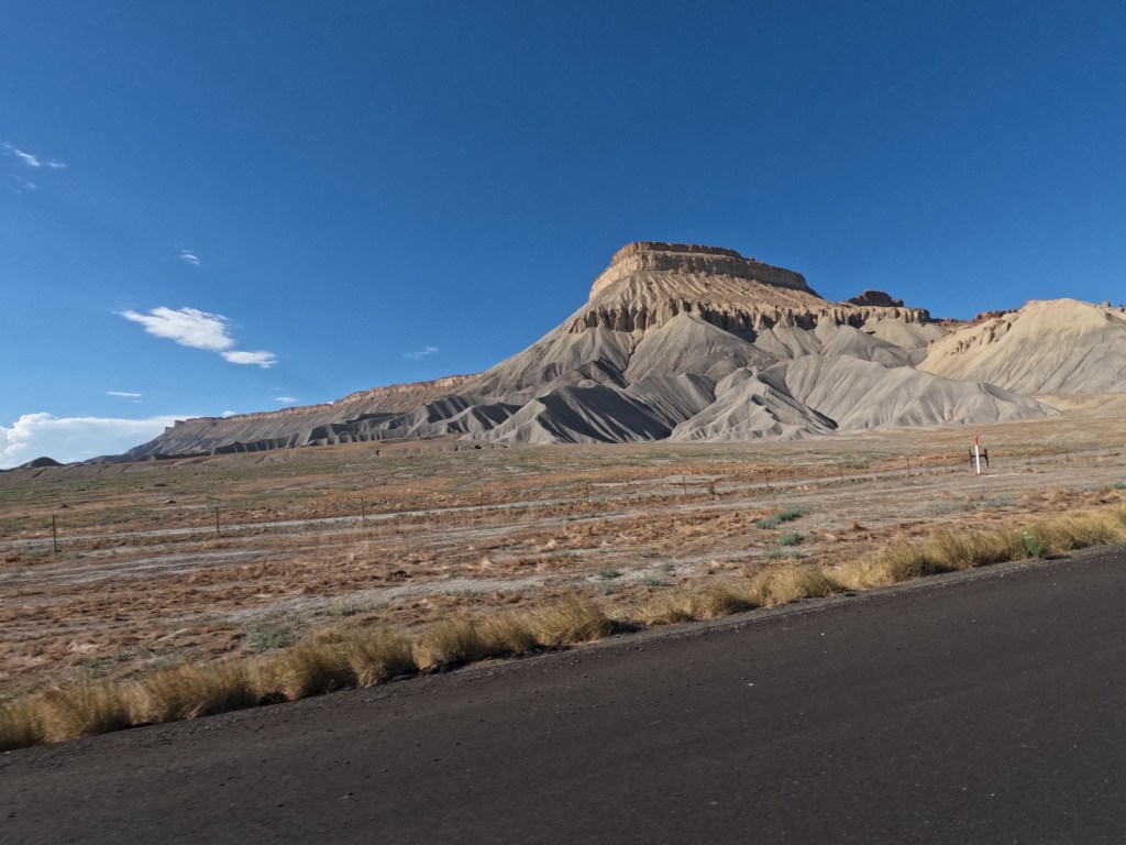
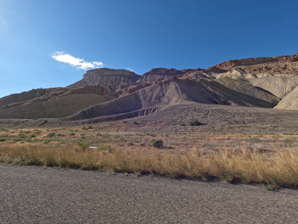
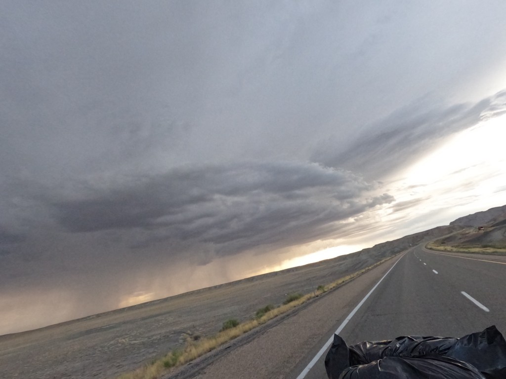
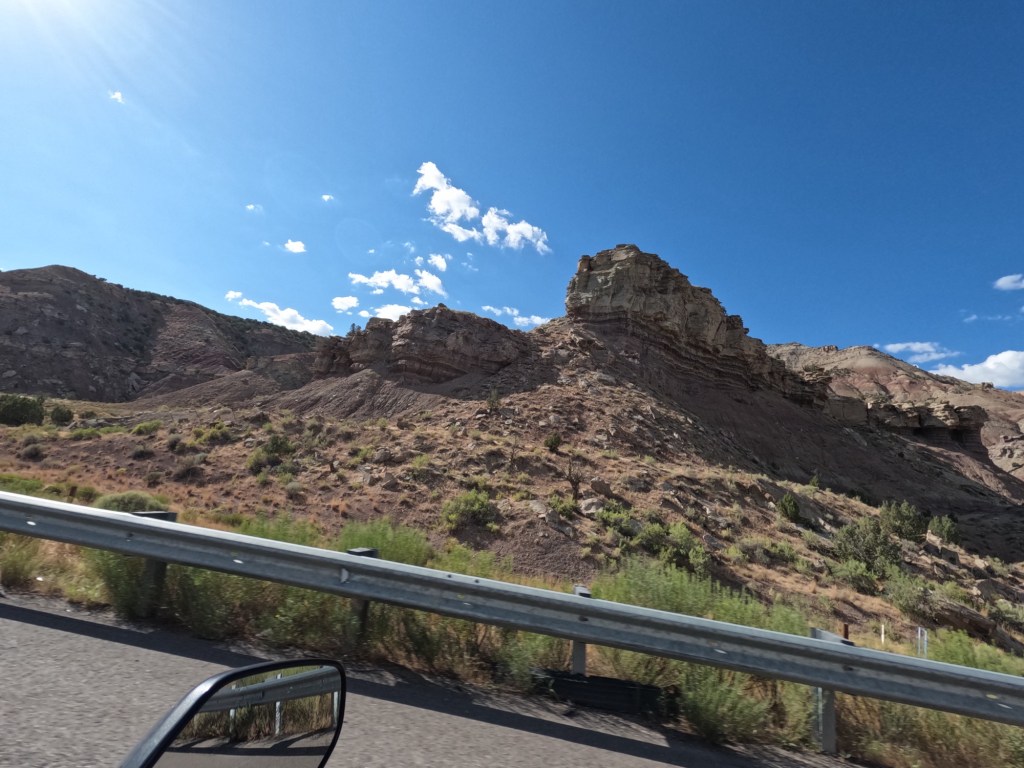
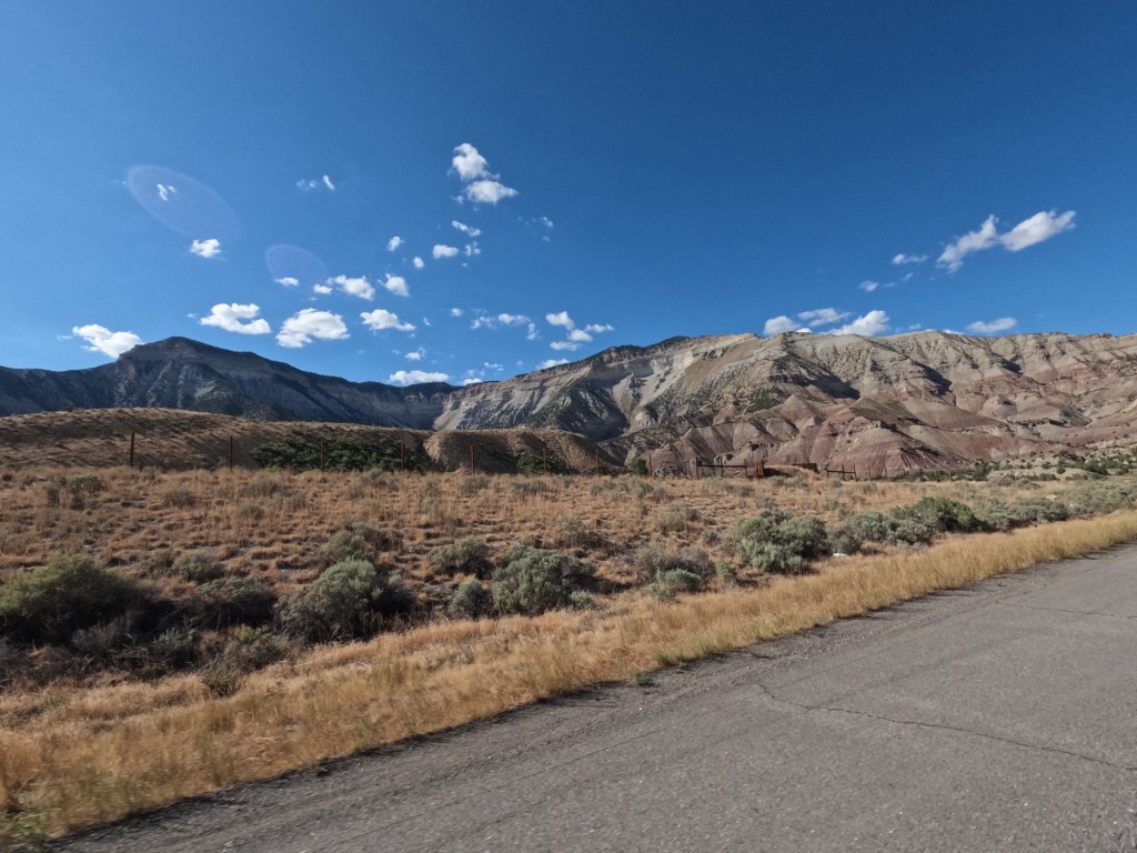
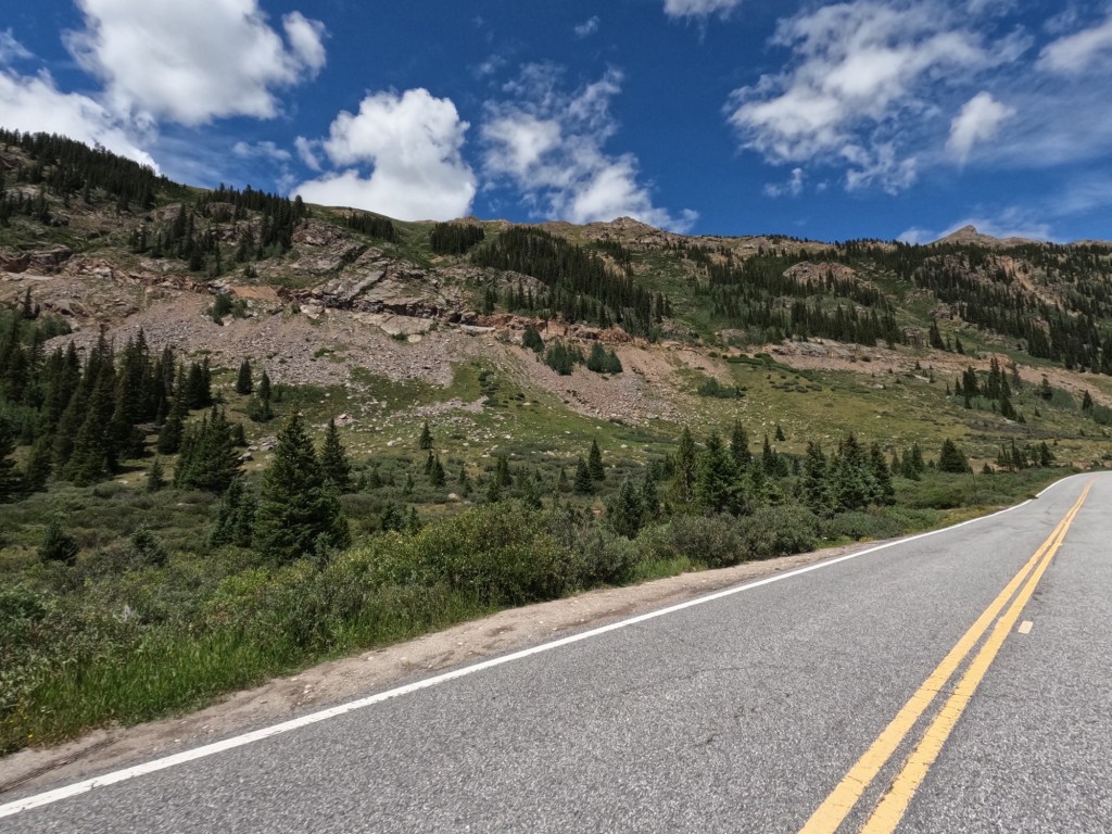
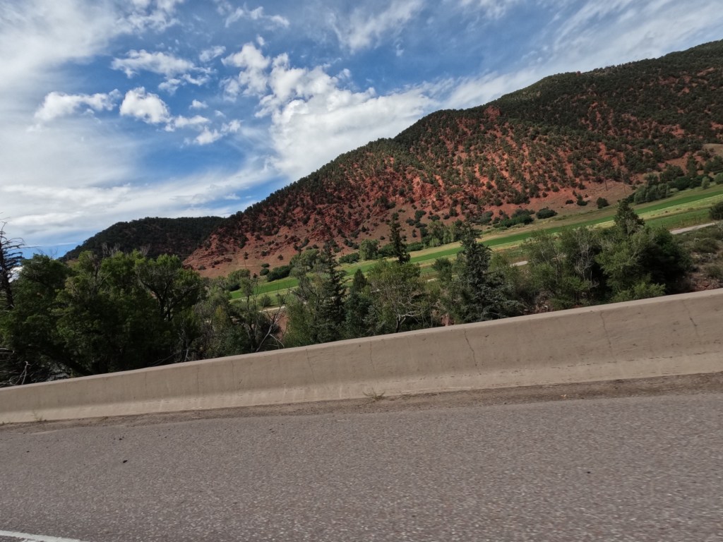
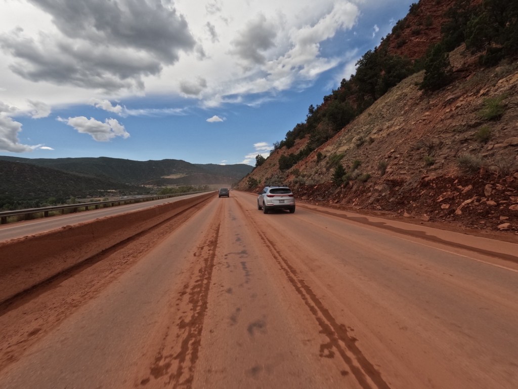
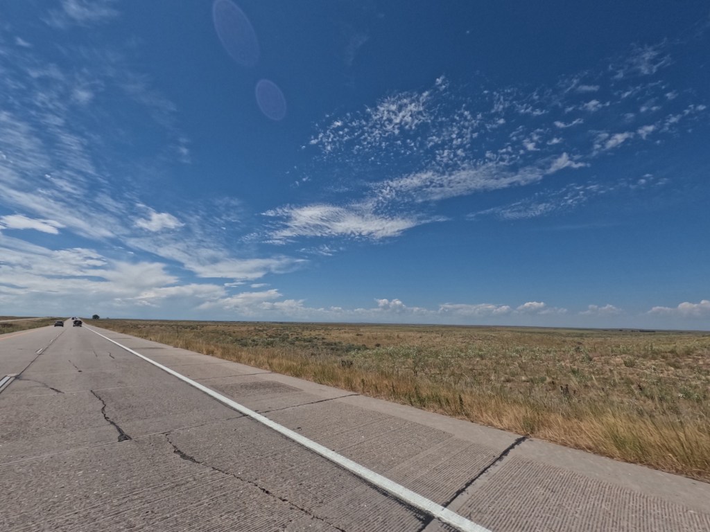
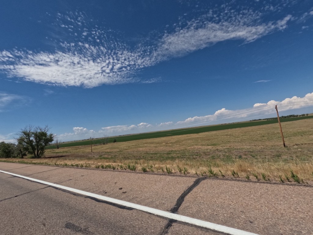
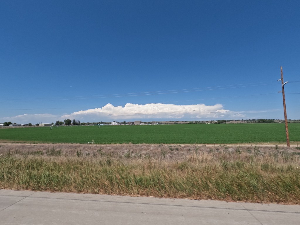
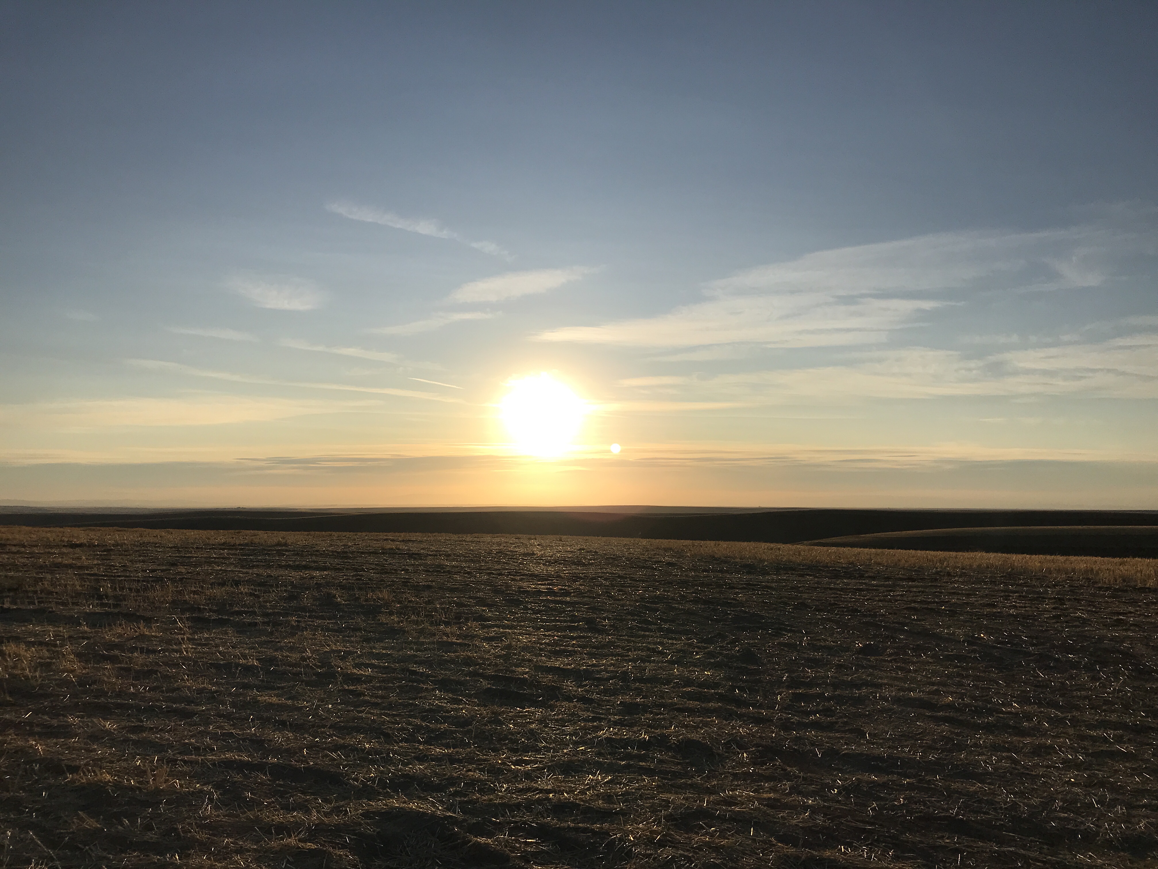
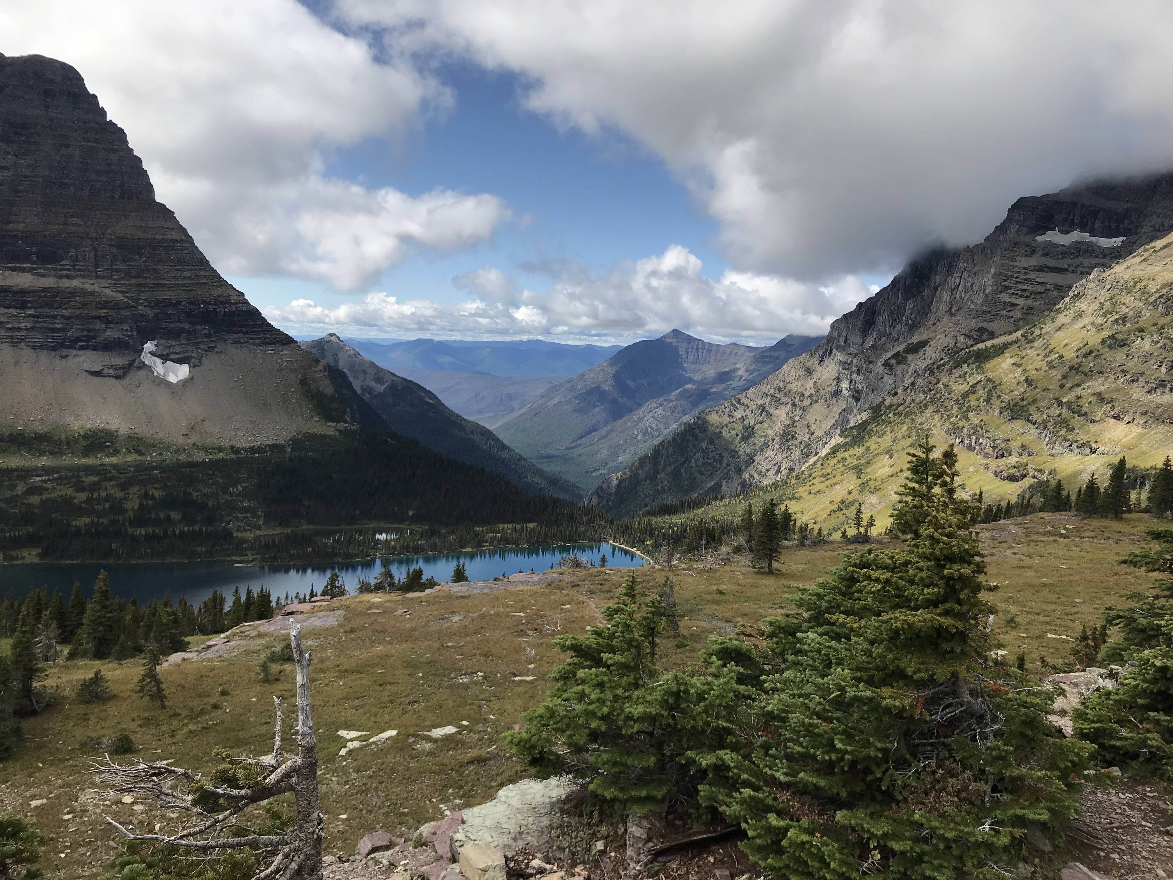
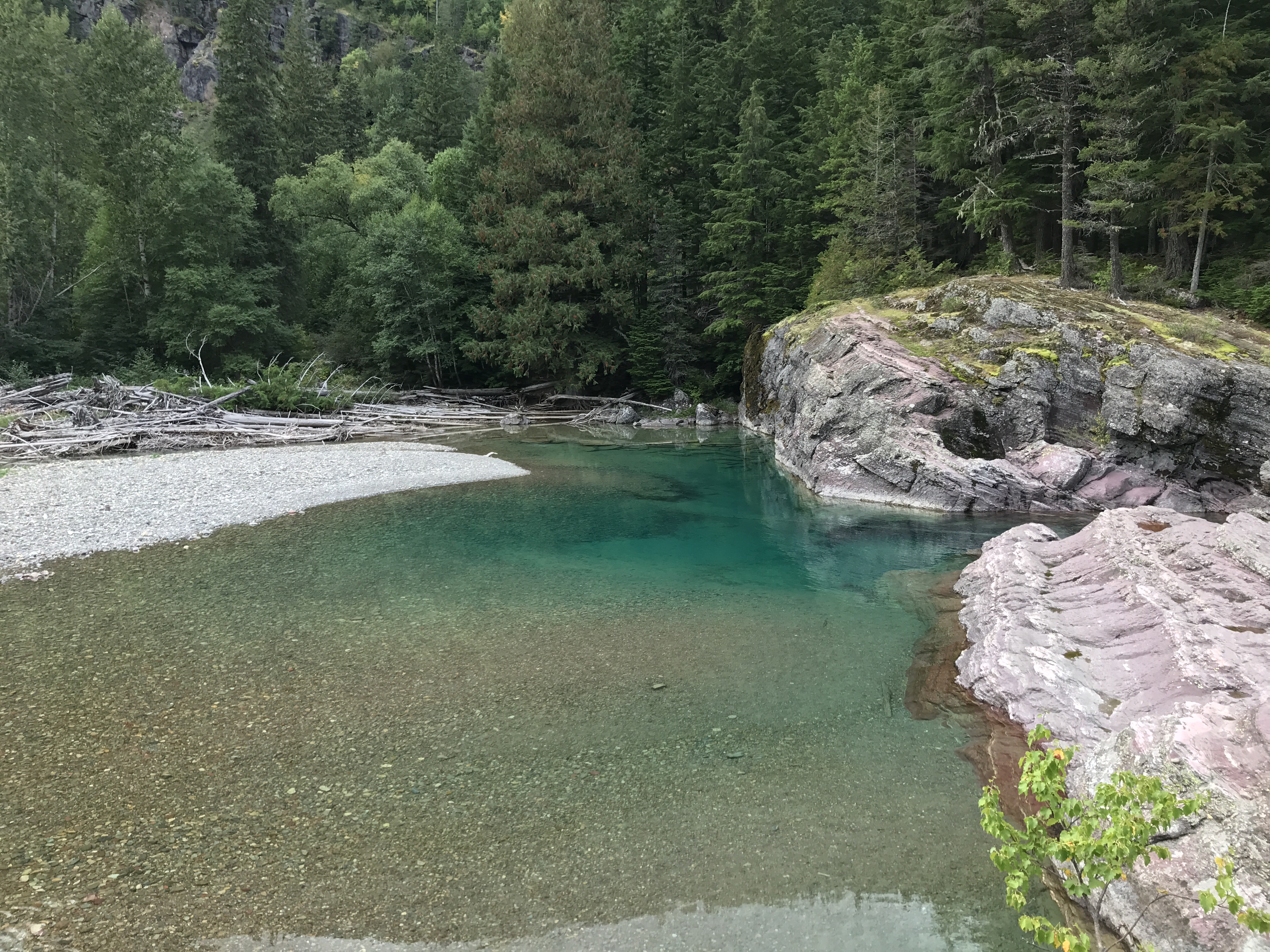
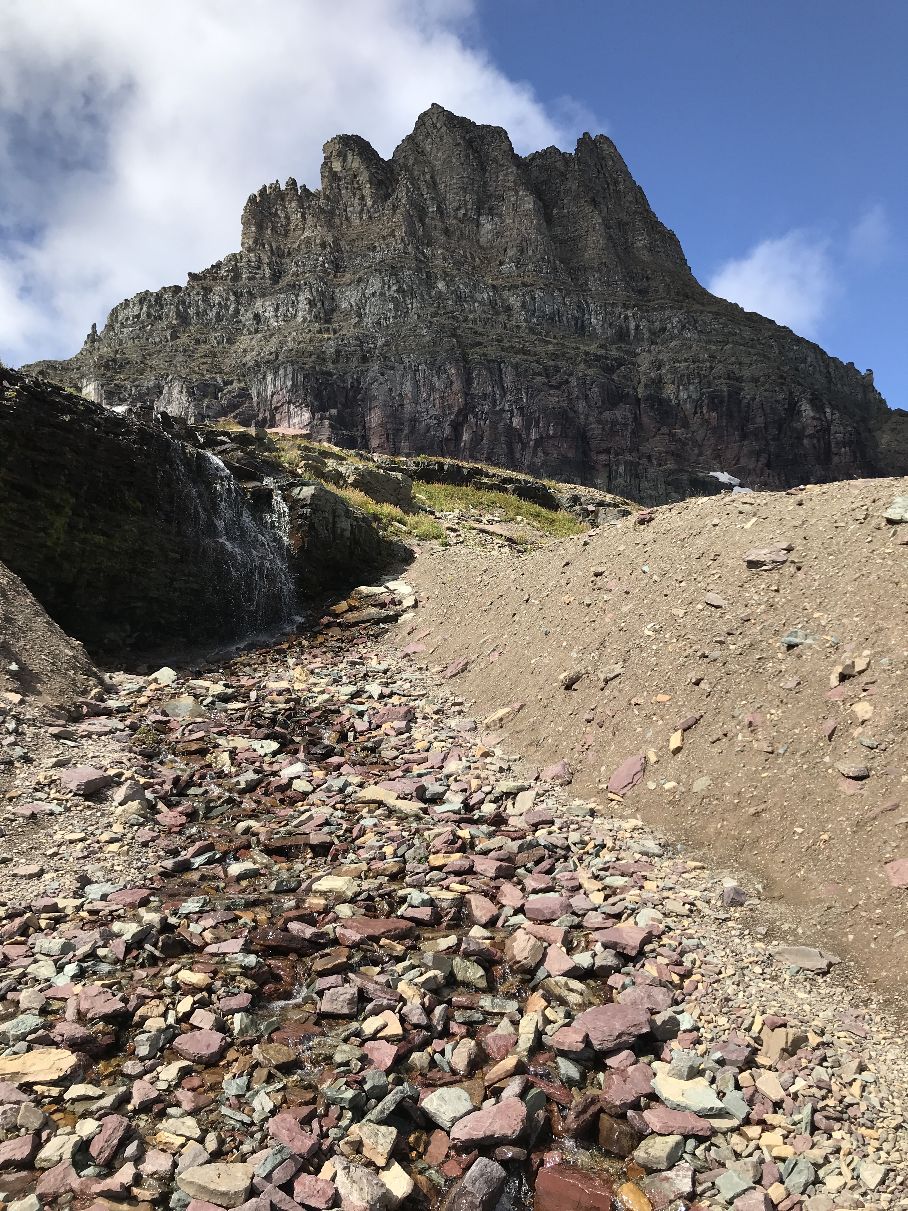
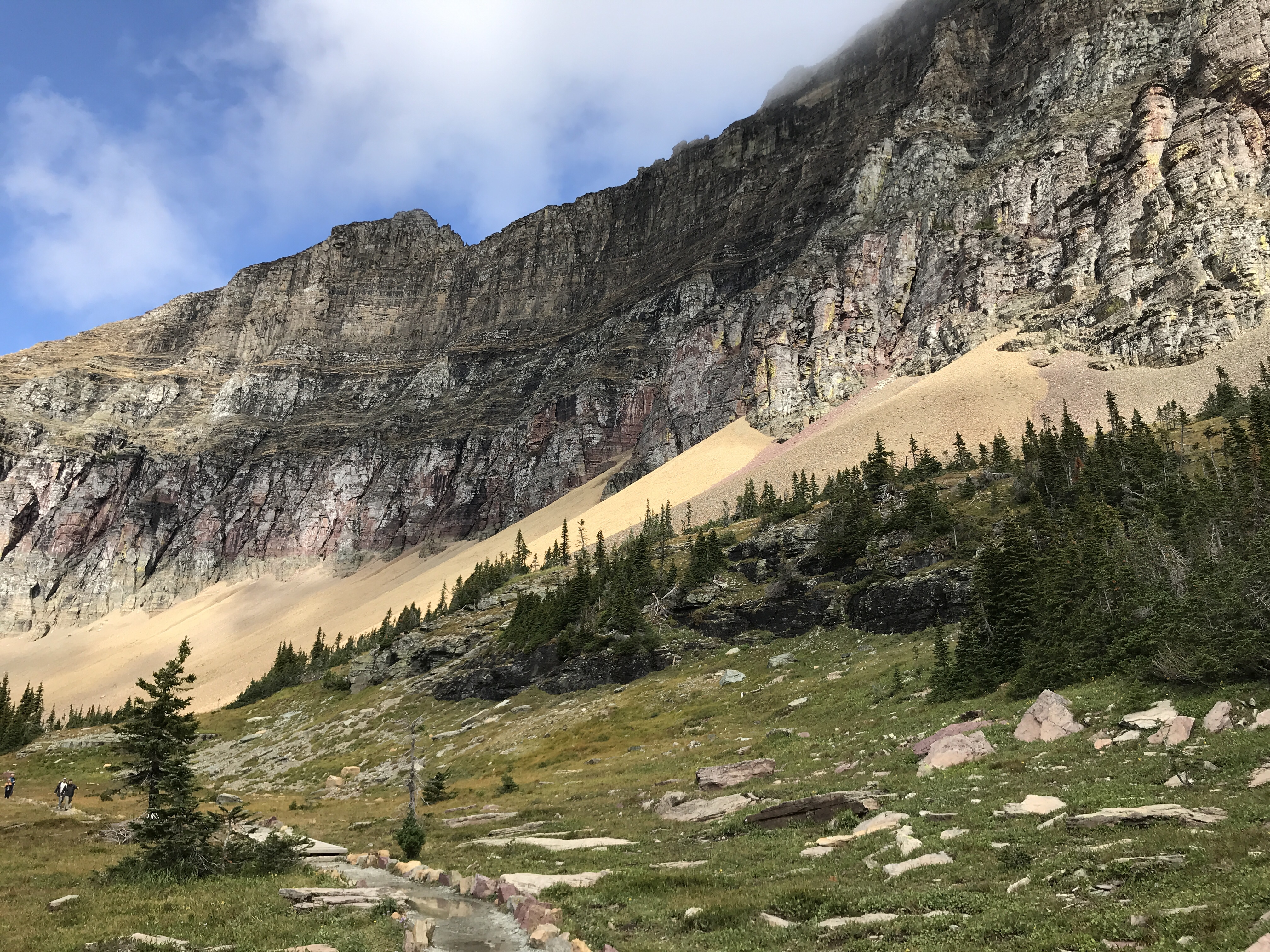
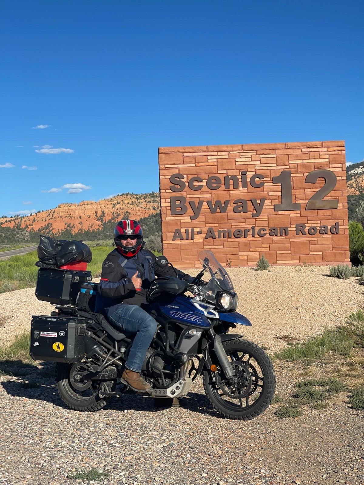
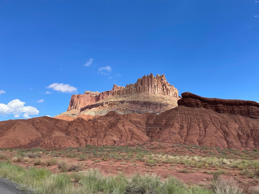
We were making our way to Scenic Byway 12. We found out about this route the night before and after searching it, we decided it was a must. Along the way, and following route 24, you get to go through Capital Reef National Park. This was surprisingly gorgeous. I’ve never heard of it until we started the trip. The views in Capital Reef were amazing! A bunch of the red rocks seemed to come out of nowhere.

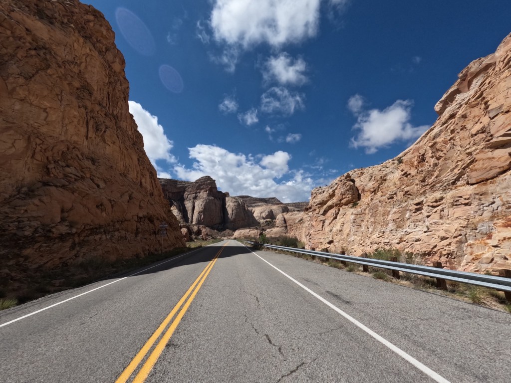
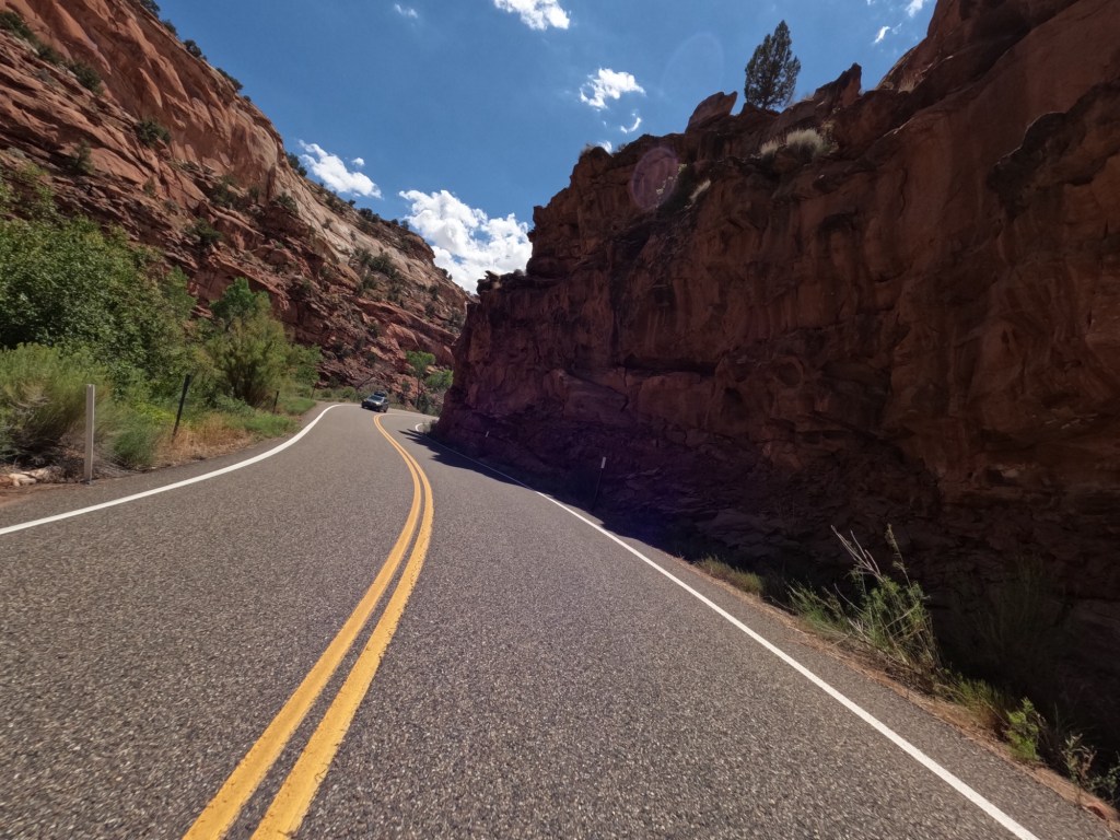
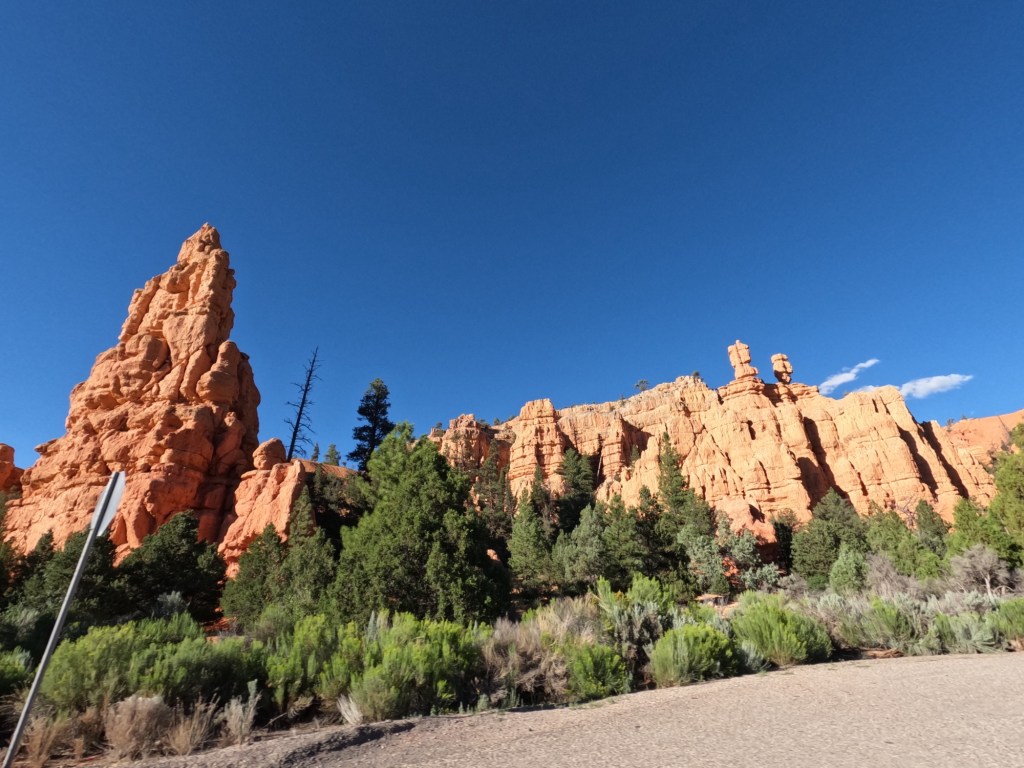
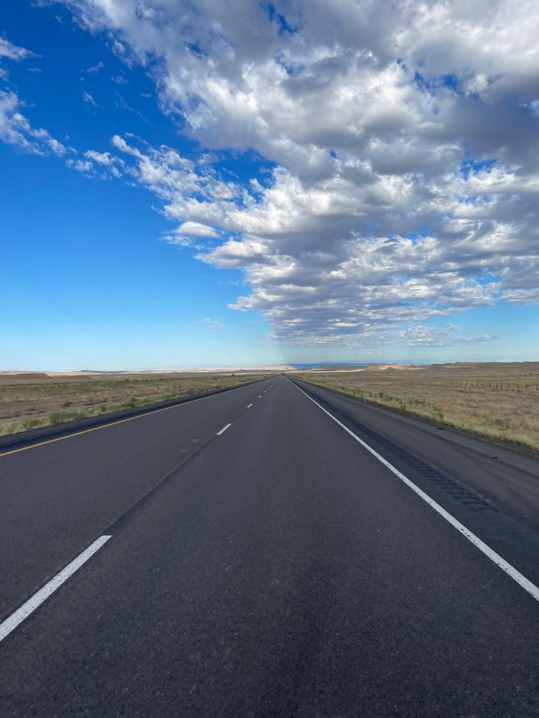
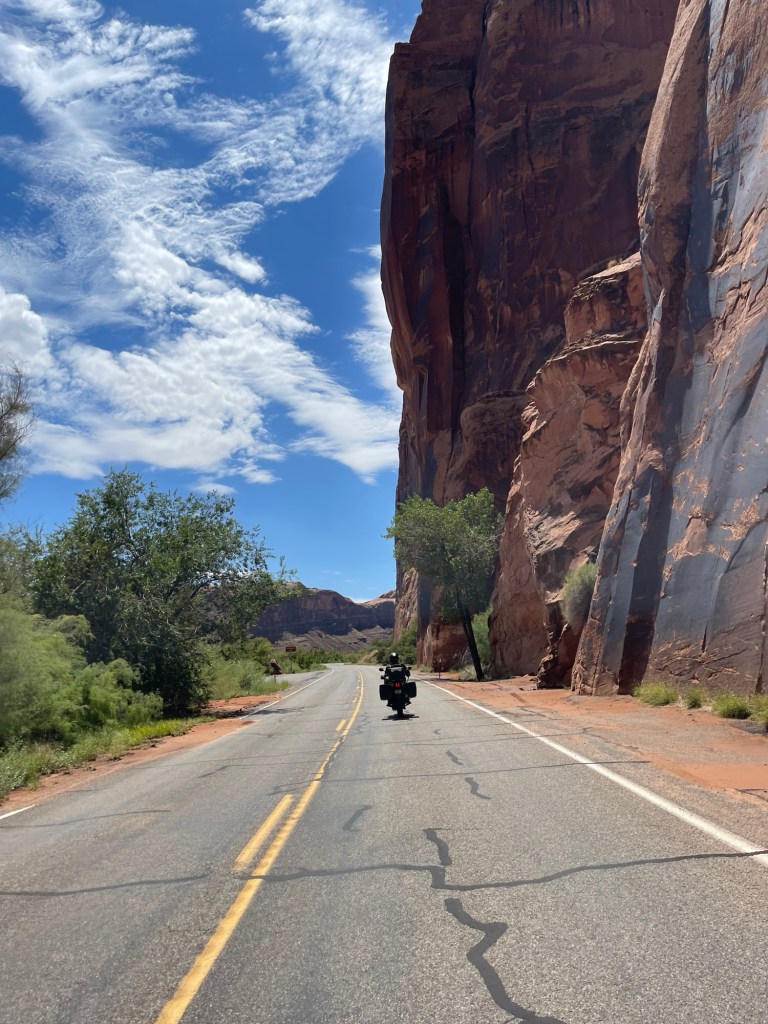
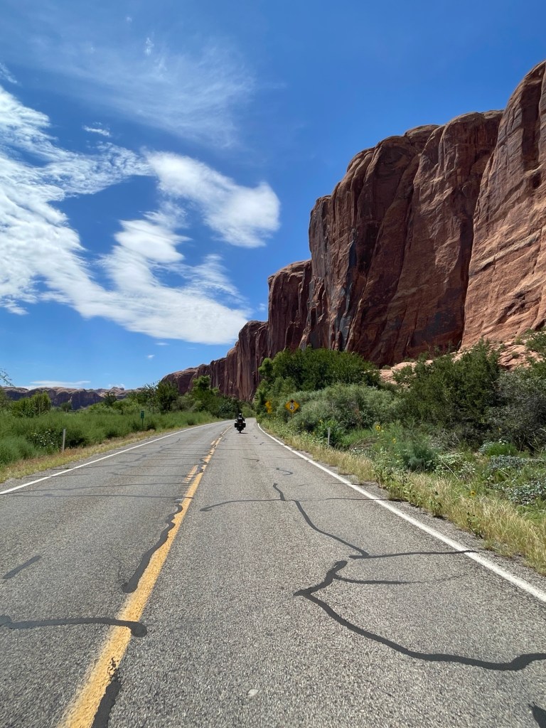
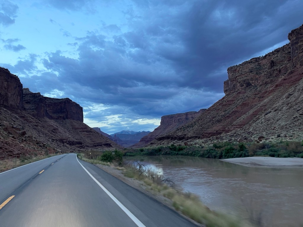
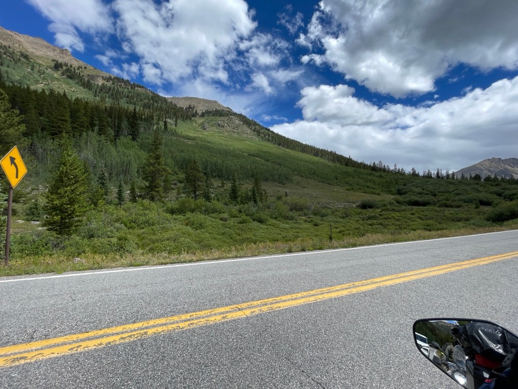
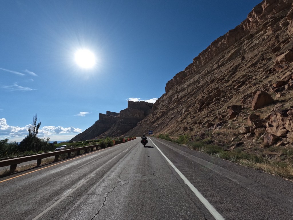
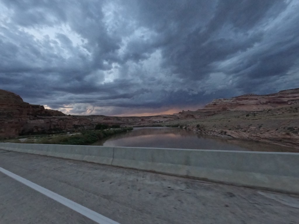
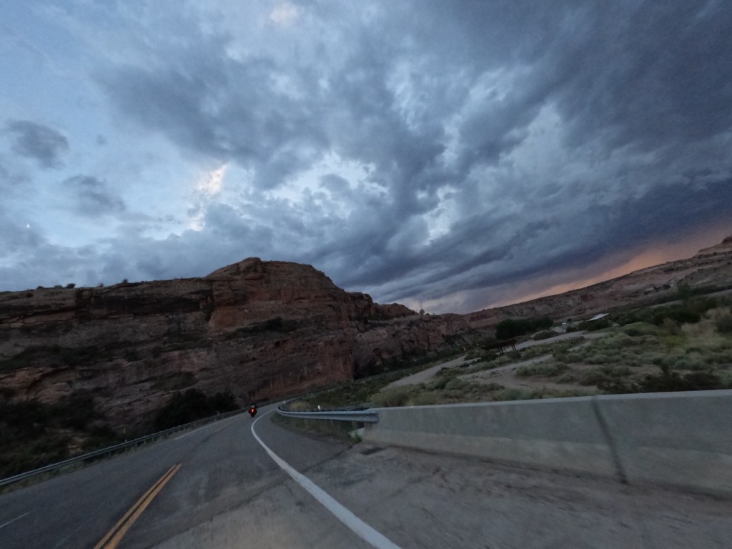
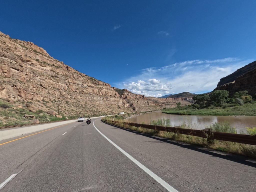
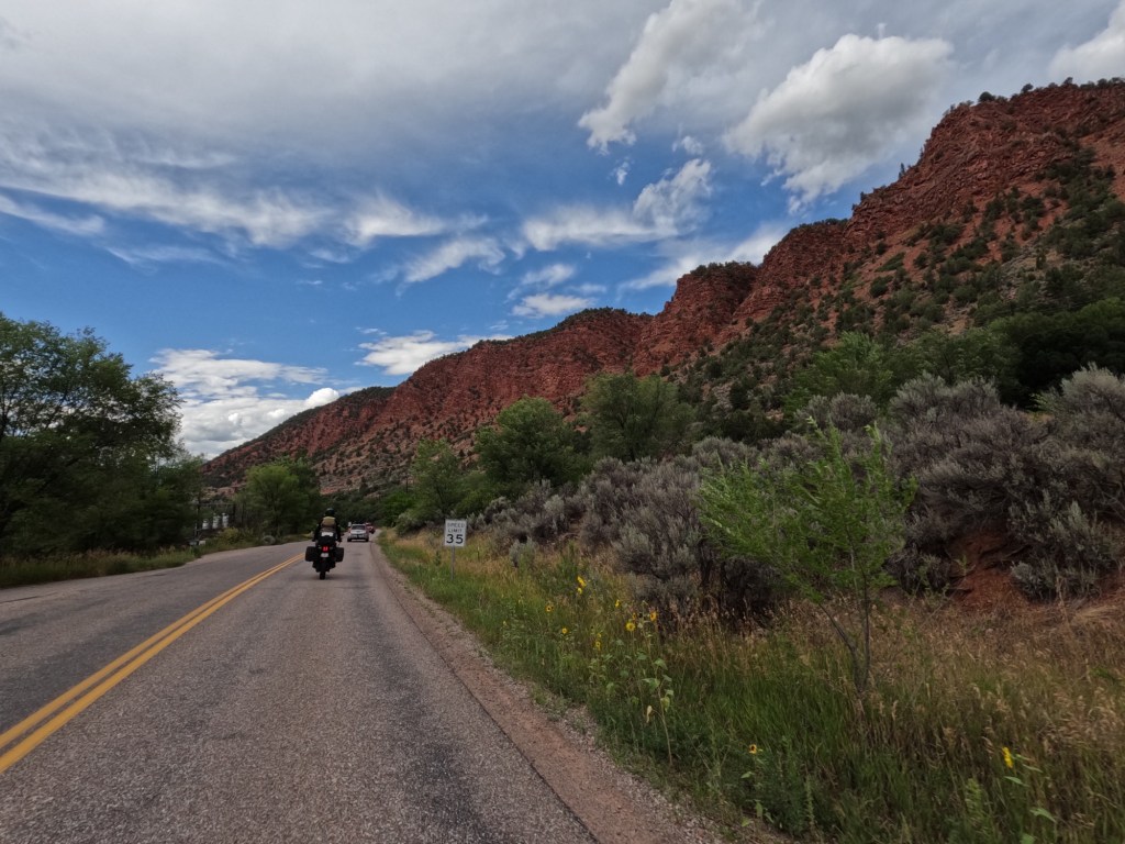
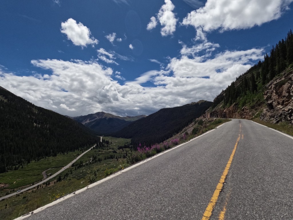
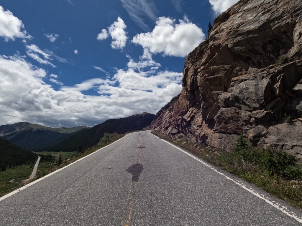
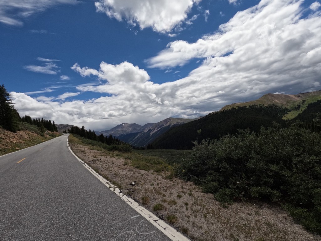
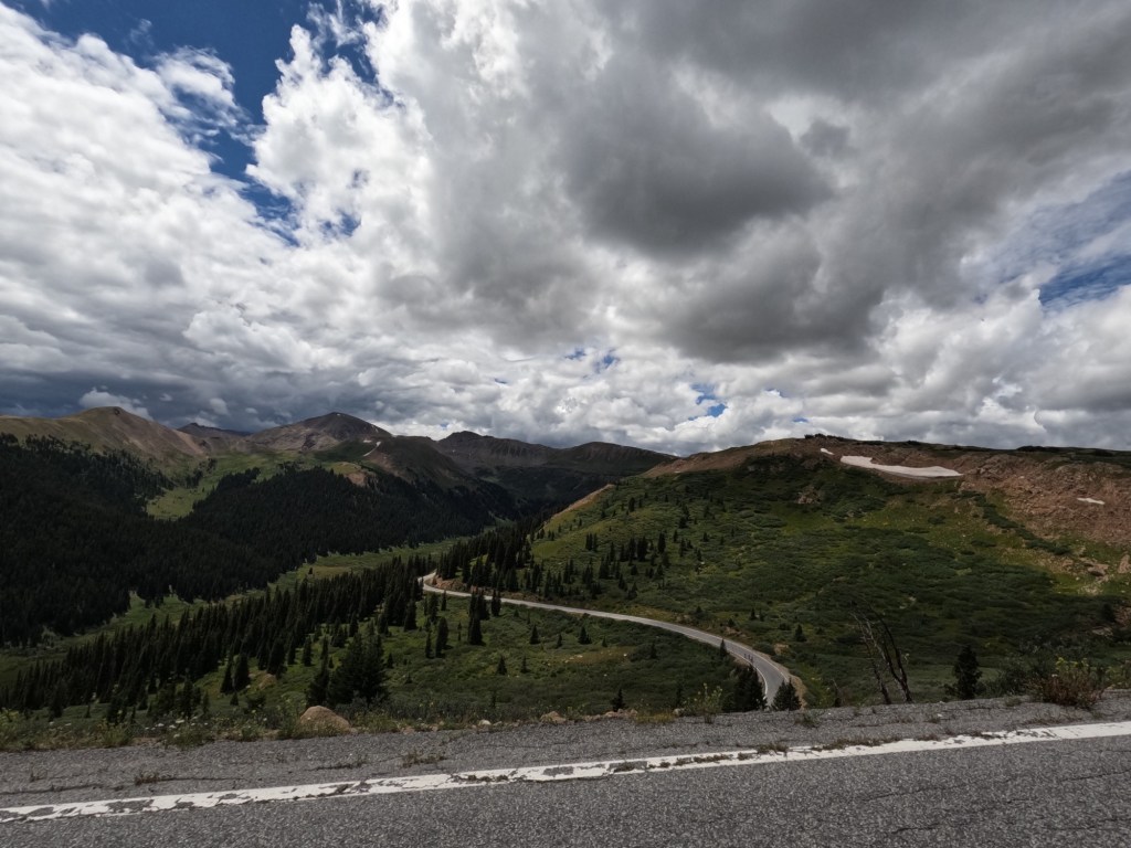
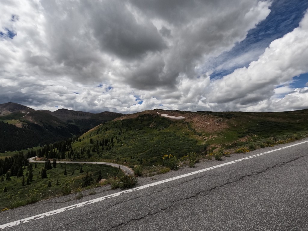
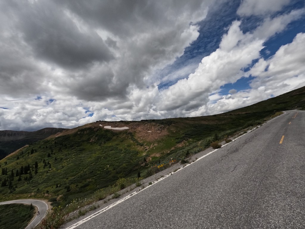
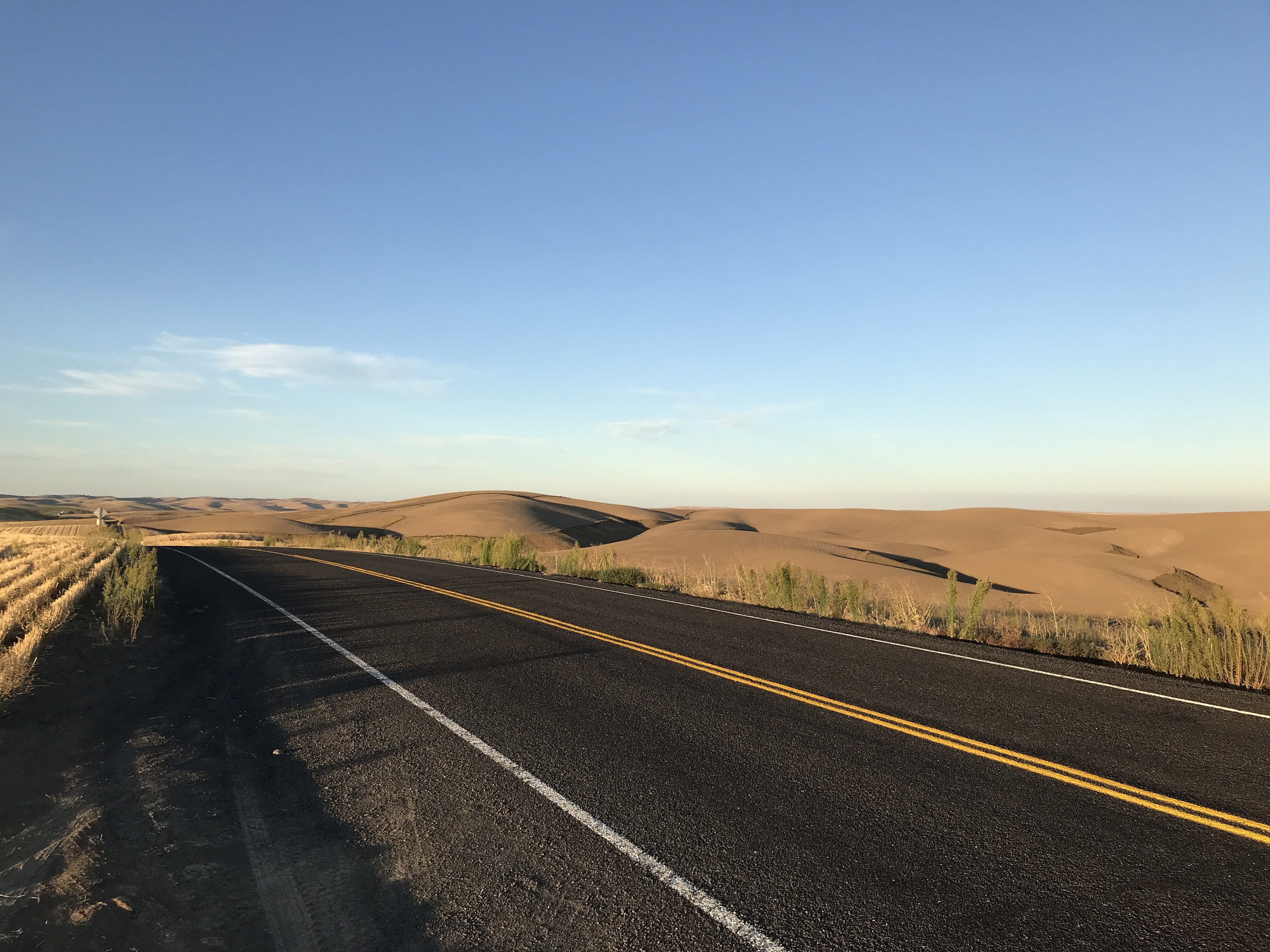
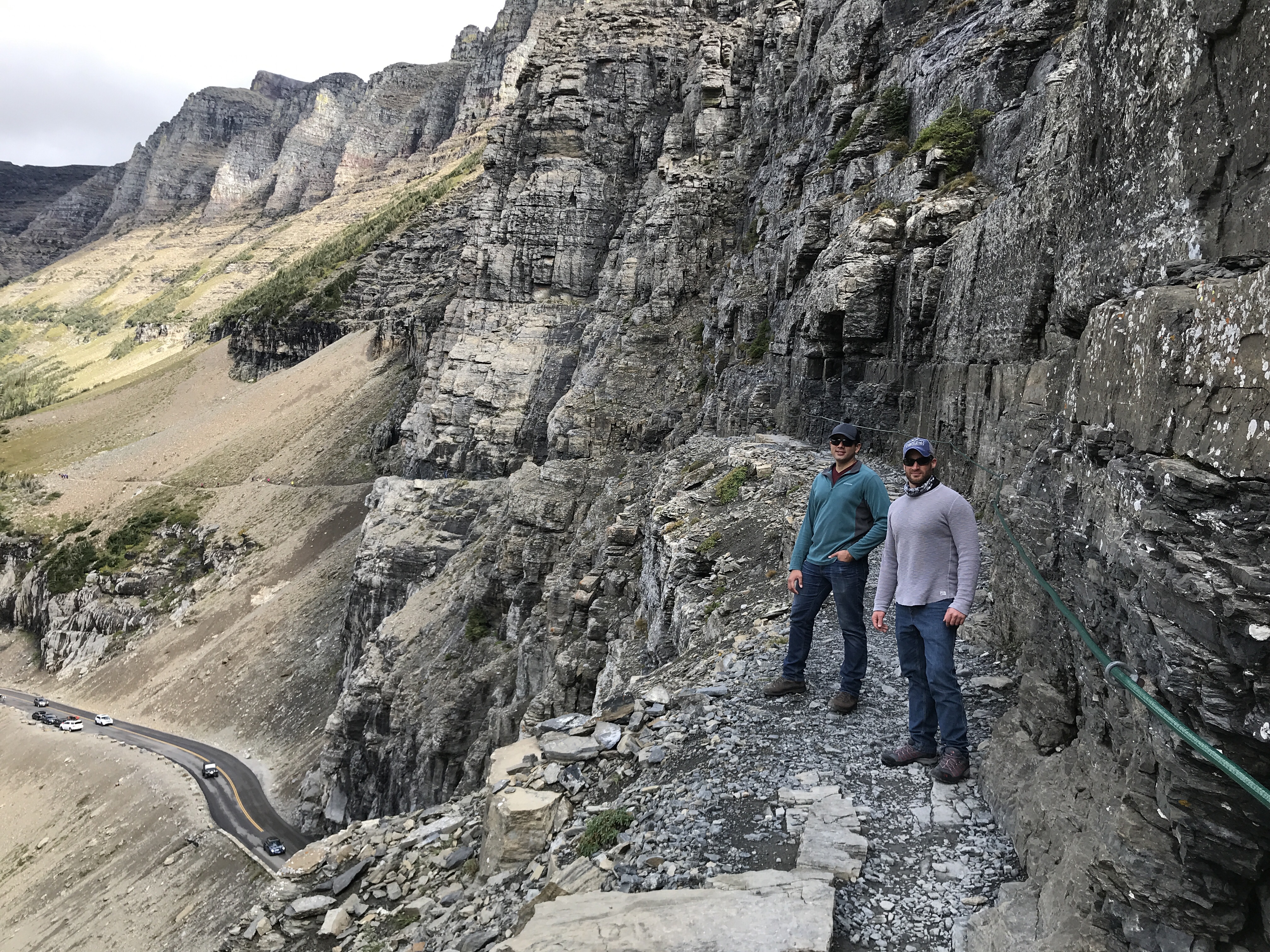
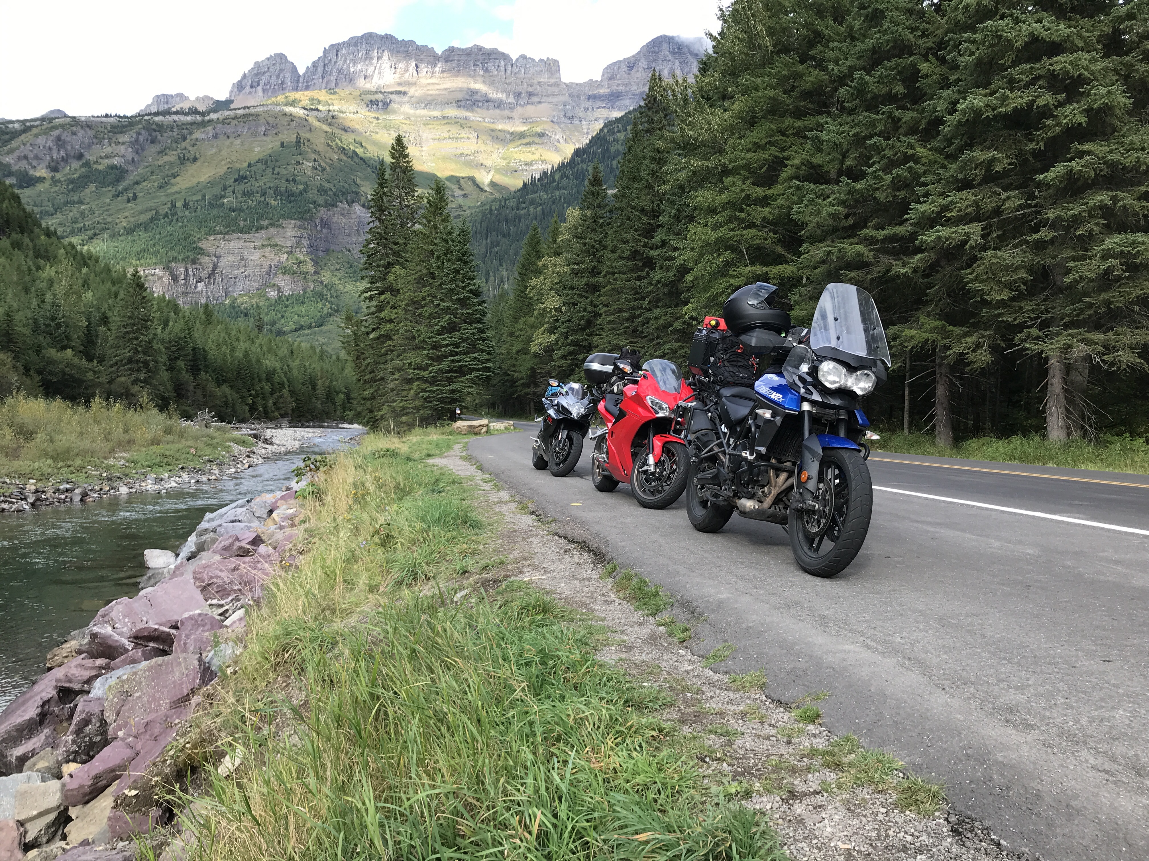
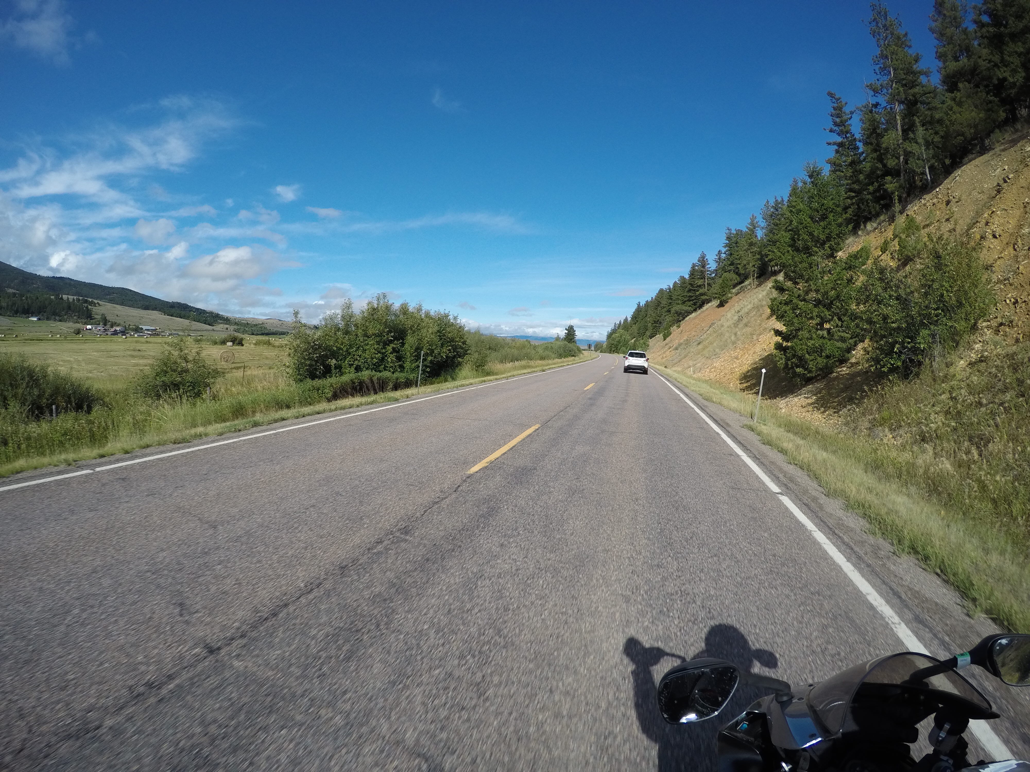
Shortly after riding through Capital Reef we got into Torrey, UT. We stopped for gas and lunch. Scenic Byway 12 begins here on the east side. This is a 123 mile state highway also known as “A Journey Through Time Scenic Byway”. I think this was the best scenery I’ve ever seen in all my travels this far. From Torrey, it goes up and over Boulder Mountain, then over “The Hogback”, which is a narrow ridge with no guardrails or shoulders and steep drop-offs on each side. It then crosses various parts of Grand Staircase–Escalante National Monument. 

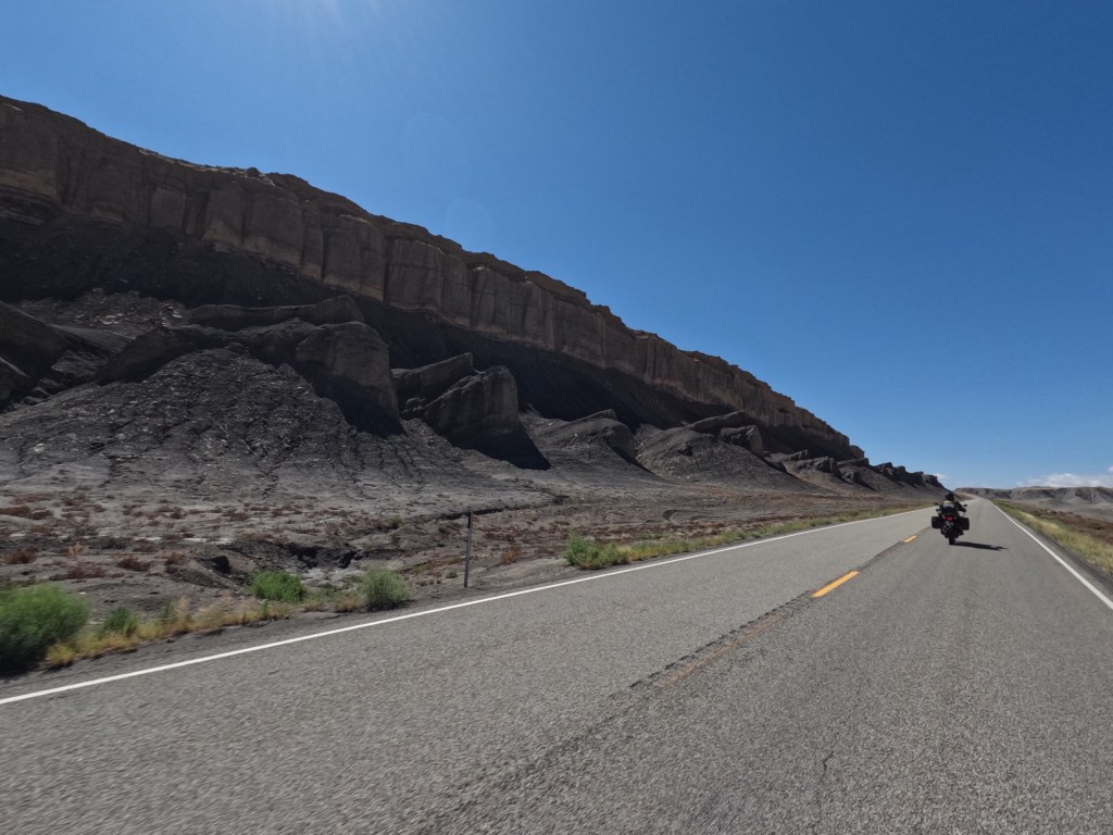
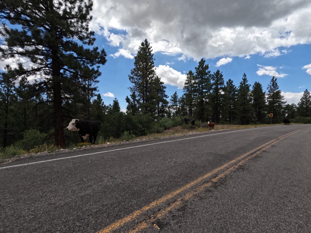
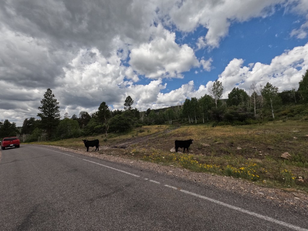
Along Route 12, we stopped at a scenic overlook and met a few older folks doing a 10-day motorcycle trip from California. We ended up seeing them a few times along the route since we stopped at “The Hogback” and for fuel. After the first time we met them, we saw cows on the shoulder of the road several times and we joked about the crazy cows. Out west, there are a lot of open range ranches, so their cattle roam free. There are no fences.

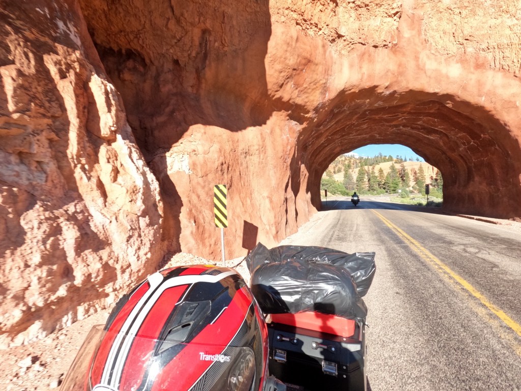
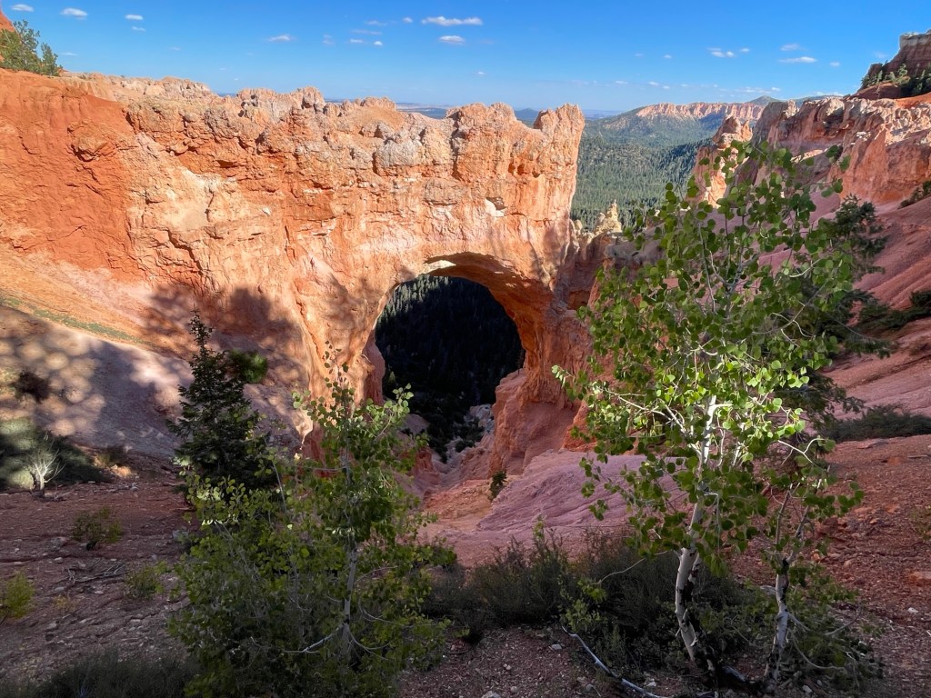
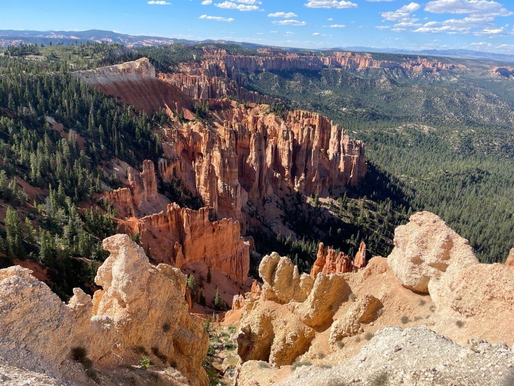
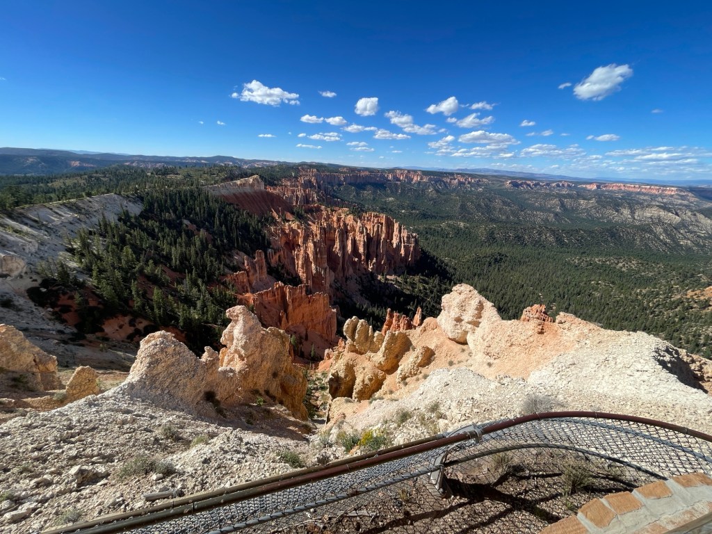
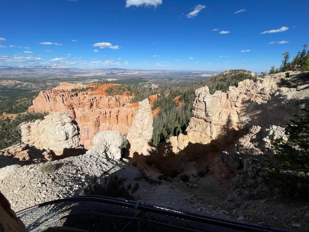
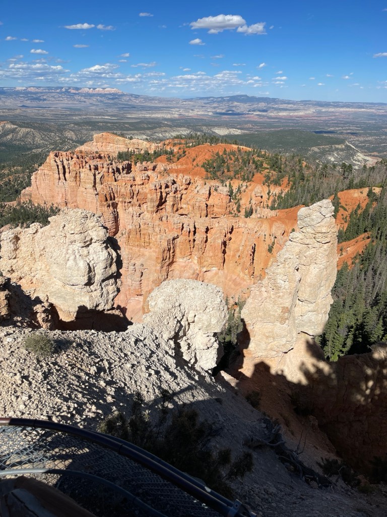
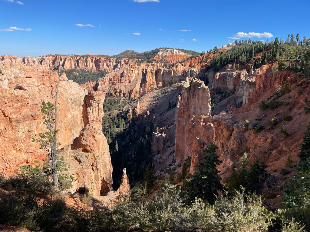
Before Scenic Byway ends, you pass by the entrance to Bryce Canyon National Park. We figured we may as well check it out after talking with the one guy. We took the main road in the park to the end and turned around. We stopped at some pull offs to take some pictures. There are so many cool rock formations. These rocks are almost orange. It was really cool to see.

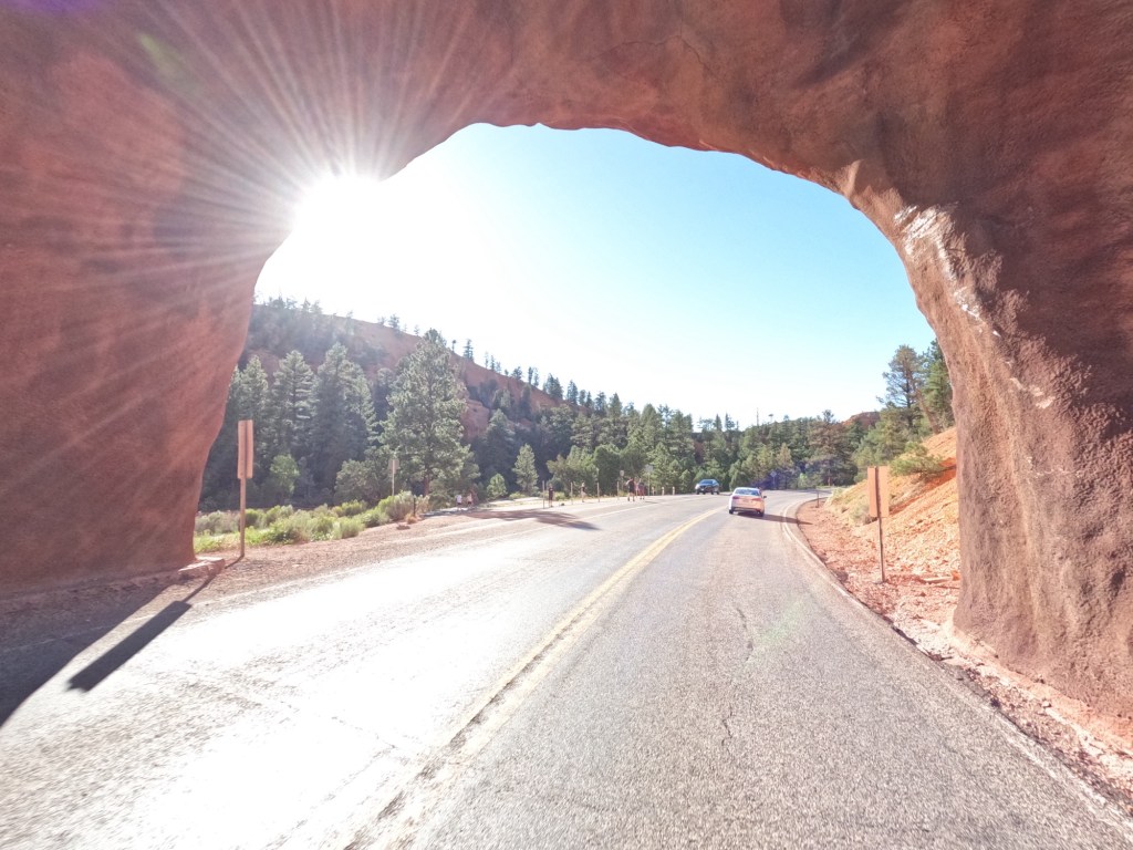
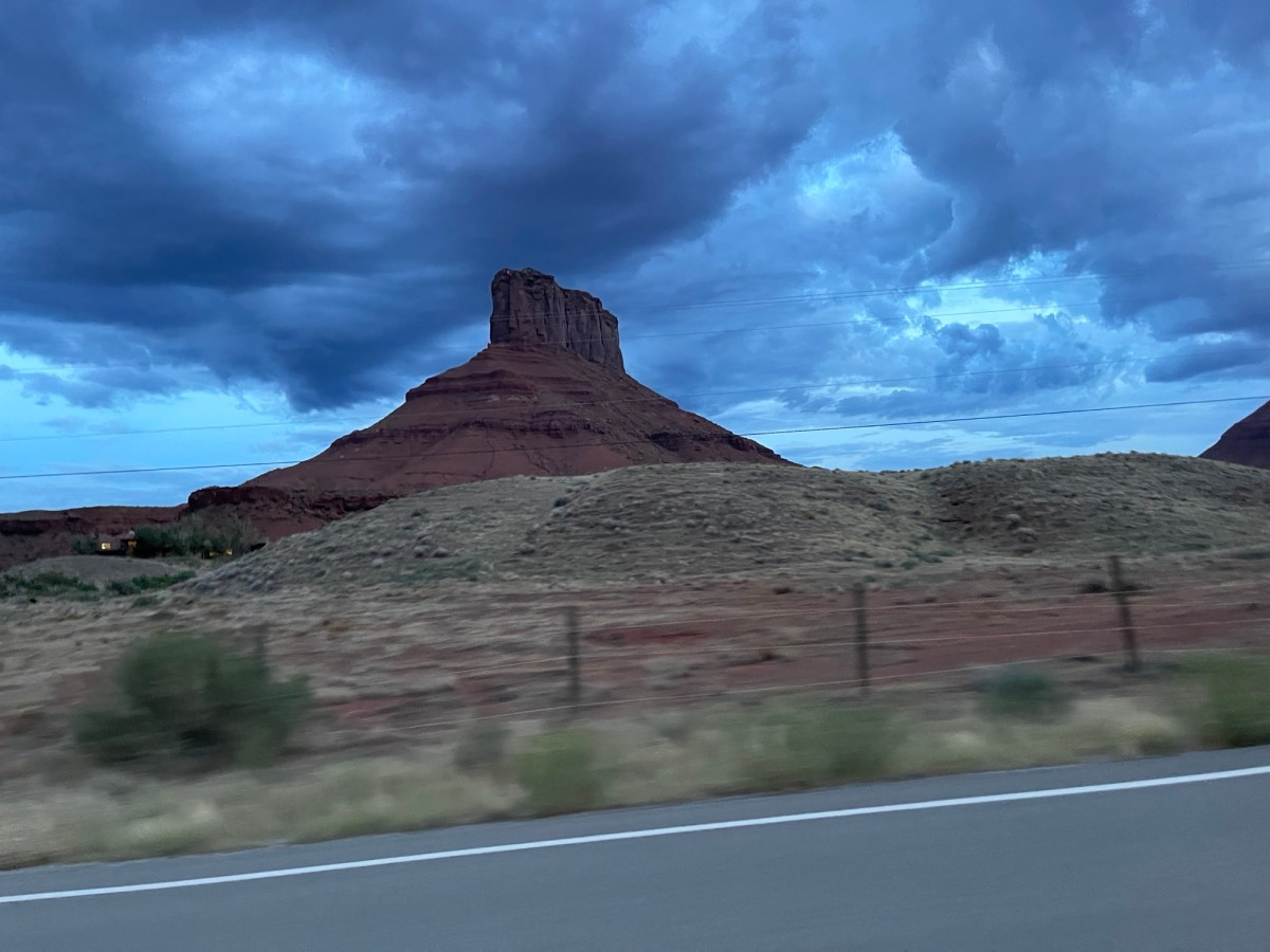
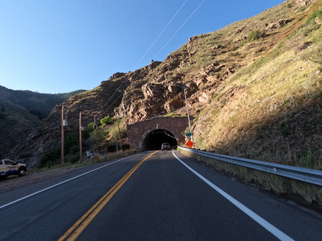
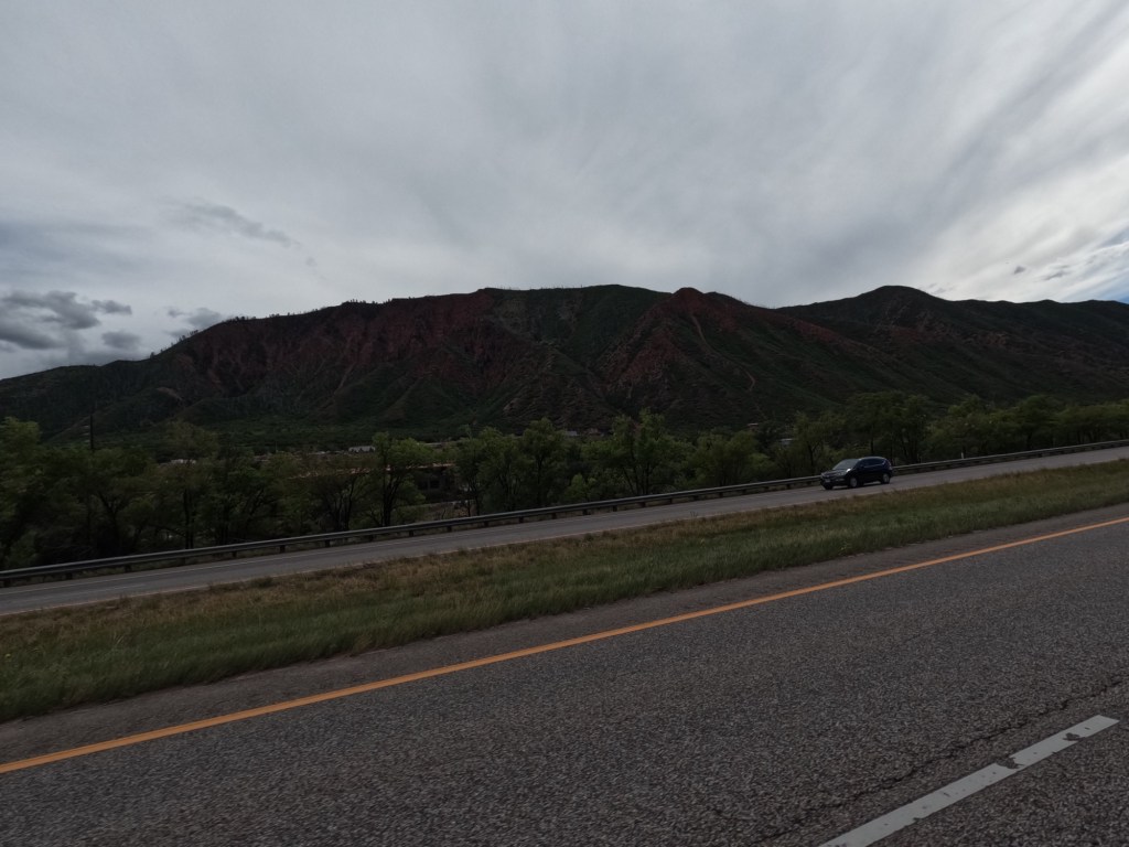
From Bryce Canyon we headed to state route 89. Before getting there, we went through two tunnels which was neat. Once we got to Route 89, we went south towards the east entrance to Zion National Park. We got to Orderville, UT and filler up again and decided to head further south to Kaban, UT to stay for the night at a Hampton Inn. We finished the day with some BBQ brisket at Iron Horse.

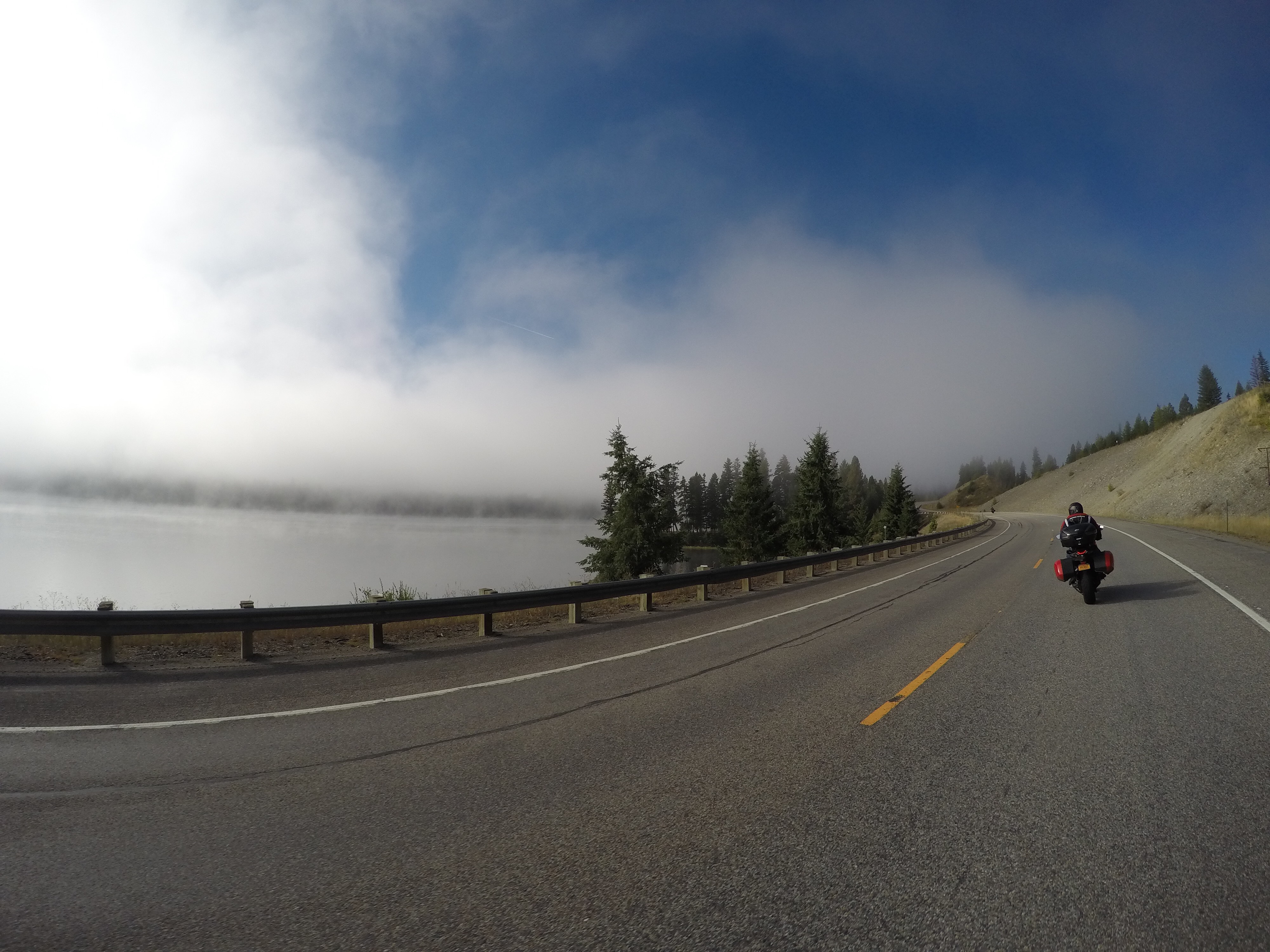
We finished the day with about 410 miles.

Google photo album: Day 6

2024 Cross Country Trip: Day 5

Tuesday, August 13, 2024

Today we didn’t really do any riding. The weather was very crappy so we just hung out and got a late start. We discussed what we wanted to do and decided to just spend the day in Moab and extend our stay another night.

With the crappy weather, we found a NAPA in Moab and walked there to buy new bulbs for my bike. My headlights burned out on the trip. The first low beam died on the second or third day and my other low beam died last night when it was dark. After stopping at NAPA, we stopped in some shops to see about getting shirts and stickers to add to the bikes. I actually had a t-shirt made up. After shopping for a little bit we got back to the hotel and the weather cleared up.

We were looking around and Eddie found this road that parallels the Colorado River towards Potash that had some features we wanted to check out. There were petroglyphs on the rock walls which were different and unique.

From there we continued down the road to see Corona Arch. It was a 1.5 mile round trip hike that takes you to two arches; Pinto Arch and Corona Arch. Corona Arch is massive! It’s 105 feet tall and 140 feet wide.

After finishing we needed to hydrate. It was warm and we didn’t have enough water. So, we went back into town to get some Gatorlytes then head out for some food. We skipped lunch to take advantage of the break in weather and went to Jax’s which was really good! While we were there, more thunderstorms came rolling through so we watched and tried to capture some lightening strikes.

Google photo album: Day 5

2024 Cross Country Trip: Day 4

Monday, August 12, 2024

We started off by leaving Westminster, Colorado after spending the night at our friend’s house. We took route 6 to bypass some of I-70 after spending a lot of time on the highway.

We got onto I-70 in Idaho Springs and got right back off to get gas and some breakfast. We also wanted electrolytes because of the elevation. We were originally planning on taking I-70 all the way to Independence Pass, but decided to hop off in Georgetown to take Guanella Pass, route 381. It was a nice surprise considering I just selected “avoid highways” on Google maps. There were some really beautiful views of the mountains so we stopped a few times. And the temperature reached 50° as we climbed the mountains.

We continued until we reached Route 285 and took that southwest. until we got to Buena Vista, then headed north until we got to Route 82, which goes up and over Independence Pass. This pass is the second highest paved pass in Colorado. Shortly after getting onto Route 82, I was looking around and noticed a moose in a pond chomping down on plants. I told Eddie over the Cardo system, but he thought I was messing with him. But I wasn’t! 😂 So, we turned around got some photos. I still have never seen a bull moose. Hopefully one day!

After taking some photos, we were in our way to the summit. At the top there is a sign so we stopped for a couple photos and headed back down. The west side of the pass is Aspen. We arrived in Aspen and fueled up and then decided to stop for food.

We left Aspen and headed straight to Moab. We continued on Colorado State Route 82 until we reached I-70. There were some areas of the road on 82 that were very dirty from recent flash flooding. But, unlike most places, there was red dirt and decent sized rocks all over the road.

Once we reached the interstate in Glenwood Springs, we had about 200 miles until reaching Moab. As we got closer to Utah, the scenery started to change.  The rocks begin change color and the rock formations slowly change.  I think it’s so awesome!

We crossed into Utah and saw the Utah sign so we stopped to take a picture.  Then, before proceeding, I thought I would look for gas stations knowing Eddie was going to be due to fill soon.  Well, there were no gas stations remotely close heading west, so we pulled off at a rest area and basically filled his tank from both gas containers.  We didn’t want him to run out of gas like our last trip in 2022, especially since it was very desolate. Gas stations were 61 miles apart! After filling up, we slowed the speed down a good bit because it yields better fuel economy.  The speed  limit on I-70 in Utah is 80mph, but we were doing 65-70 to make sure we would make it to the gas station.  I really wanted to get off and keep heading to this scenic byway on state route 128 from Cisco to Moab, but we may not have made it to Moab, so we continued to the gas station.

As we were headed to the gas station, we could see a storm off in the distance.  We could see the rain and lightning. We arrived at the gas station and checked the radar.  It was coming right for us.  So, rather than dealing with it, I suggested to backtrack 18 miles and hit the scenic byway to avoid the storm cell.  It worked out perfect and we stopped and to get some photos and videos of the storm.  Eddie caught a really awesome shot of a lightning strike!

We continued south onto route 128 and the beginning is very plain-like, but I did it before on my first trip and knew about the red rocks and formations you get to see before getting into Moab.  This road parallels the Colorado River and there such amazing views of buttes, mesas, and spires.  This is why I was stoked to ride the same road again.

We finished the day with 400 miles.

Google photo album: Day 4 photos and videos

2024 Cross Country Trip: Days 2 & 3

Saturday, August 10, 2024 & Sunday, August 11, 2024

On the second day of the trip we left Elkhart, Indiana and continued west down I-80.  We crossed into Illinois and cruised for a little bit then rode through a swarm of bugs.  It honestly looked like a little black cloud, but by the time we saw them it was too late.  They splattered everywhere!  I even tried tucking my head down, and it helped a little, but not very much.  We just kept riding and after completing about 100 miles, we stopped for fuel and decided to lube the chains since we did 800 miles in total.  It was definitely time!

We kept riding until we reached Grand Island, Nebraska.  It’s basically central Nebraska along I-70.  My goal was to make Denver by mid afternoon on our third day so Eddie could see his cousin and we could visit our friend from home.  So, I was getting a little bored and started to get truckers to honk.  I giving them the signal and all of them did it.  One guy didn’t have an air horn so he just used the steering wheel one. We finished the second day with about 715 miles.

On the third day we left the hotel knowing there would be a chance of thunderstorms.  When we left it was very overcast and the radar showed possibility of storms, so we suited up before leaving.  Shortly after leaving we hit some rain and then it turned into mist.  It was like this for 300 miles, until we reached Big Springs, Nebraska.  This is the very close to the northeast corner of Colorado.  We were checking the weather and decided to take the rain gear off, and good thing we did. Colorado was 7 miles away and it immediately got hot and sunny.  The weather prior to this was about 58 degrees, and shortly after arriving in Colorado it was in the mid 70’s.

There was nothing really interesting to see along the highway until we reached Colorado, but we did see a bunch of wind turbines and we also saw a handful of wind turbine blades being transported.  It’s impressive how large they fan blades are when you’re up close to them.  And we also saw corn, LOTS AND LOTS of corn! haha Basically corn and soy is what we could see.

When we finally split off I-80 onto I-76, there was a break from corn and soy.  We could see a bunch of rolling hills for open range cattle.  The scenery changed from very green with corn and soy, to a lot of golden brown.  Eastern Colorado is desert-like, but technically, it’s the high plains.

We continued towards downtown Denver and visited Eddie’s cousin.  We hung out there for a bit then went to see our friend Eric in Westminster, CO.  We ended up hanging out there, going out to dinner, and spending the night 

We finished the third day with about 400 miles which was a nice little break from two 700 mile days.  The buns needed some rest!

Google photo album: Days 2 & 3

2024 Cross Country Trip: Day 1

Friday, August 9, 2024

We began the day by meeting in Middletown, NY to start the trip. We’re heading toward Moab, Utah! And just like all the other trips, we hopped onto I-84W. It was raining when we left, and seemed to never stop raining. We rode until we hit I-80W and got to Bloomsburg, PA when Eddie’s fuel light came on. So, we got off and when I got off the bike to fill up, my pants and shirt were quite wet. I didn’t realize it, because I’ve always used a one piece rain suit on my prior trips, but I had my rain pants too low on my waist to when we got off, my jeans and my shirt were wet! So, after filling up, I hiked them ALL the way up so water wouldn’t accumulate.

From Bloomsburg, we continued down I-80 in the rain until Eddie needed fuel again. His bike is several years older than mine, so he is the limiting factor. It seems that he needs to refuel every 120 miles at highway speeds. It stopped raining briefly when we reached a town called Clearfield, PA which is where we stopped for gas. However, when we pulled in to fill up, the woman came out to tell us they were out of power and so was the rest of the town due to the storms. We checked Google maps and saw a Sheetz further up the road so we headed there. Fortunately they were open and had power. After filling up we grabbed some food and chit-chatted with a couple that came from New Hampshire and were on their way to Nashville. They were both on BMW sport touring bikes.

While we were finishing eating, it started to sprinkle again, so we geared up and continued. About half hour later, it finally seemed to stop raining. It was such a relief. We rode about 300 miles in the rain. Luckily, the weather seemed to change a little from the forecast the night before so when we stopped again for gas, we took the rain gear off. It was so refreshing! It was sunny and about 77 degrees.

We continued until we needed fuel again and after stopping, Eddie realized that a rubber spacer in the chain guide that I just replaced was sticking out. The little rubber “pins” must have came loose. So, since I brought the whole garage with me, I slapped a zip-tie through it to hold it in place. We also looked for a spot to have dinner and we headed there next.

We finally got to the restaurant, JJ Winns Restaurant & Lounge in Montpelier, Ohio. We each got bacon and cheddar stuffed burgers with homemade fries. It was really good!

While there, we were discussing where to go and how far we wanted to go for the day. So, we looked around South Bend but most of the hotels were sold out, so we found a Hampton Inn in Elkhart, Indiana. So we headed into the sunset until we arrived at the hotel. It was a decent first day considering the weather.

We finished the day with about 685 miles.

Photo Album: Day 1 Photos

Cross Country Trip #2: Day 16

Date: 9/12/2019

Miles: 420

It was a long day today.  We left Kalispell, MT for our next destination – Mount Hood.  The beginning was quite chilly and there was a lot of fog.  Apparently, there were a few lakes we rode by and the fog was lifting off the lakes and making the visibility quite poor. My visor kept fogging up because of the cold weather at first.  But once we started hitting all of the fog, my visor started collecting moisture and it made it quite difficult to see.  So, I opened my visor and didn’t get too far.  The moisture started accumulating on my helmet making hit really hard to see.  I am not sure what it was, but I think we kicked up a Bald Eagle that was just off the rode.  Then I had to pull over.  It was funny because I was quite cold and did not want to stop until we put some miles in.

We stopped quick so I could clean my visor and while we were stopped I put on my winter riding gloves and rain pants to warm up.  The rain pants help a lot to block the wind. We continued on and it finally cleared up and we were out of the fog.  Then, we came around a bend and hit some road work.  There was a 10 minute wait because they tore up the road and had to water it down before allowing traffic through.  While waiting it was funny, we were watching some folks stretch the whole time, but maybe you had to be there. 

Once they opened up the road, we headed through the construction zone, and the bikes got muddy again! It was really rough in some spots too!  It was nice once it was over until we had to follow some construction vehicles that were sand blasting us!  It wasn’t really that bad, it was just annoying!

From there we continued into Libby, which must be known for fishing.  There was the Kootenai River that U.S. Route 2 parallels.  This was a nice ride along the river.  There were some really beautiful lookout points of the river.  The river was so blue, it was really neat to look at while riding.  Nothing is blue in the northeast, it all seems brownish.  So it was really nice to see the color of the water.  It was just so gorgeous.

We continued on the same road heading northwest where we crossed into Idaho and made it as far north as Moyie Springs, Idaho. Moyie Springs is about 30 miles from the Canadian border.  We didn’t head any further north though because we were trying to fit in some last minute stops before reaching Seattle.  From Moyie Springs, we headed southwest on the same U.S. route and stopped for gas and I had to use the restroom.  Inside the gas station, there was a little cafe. So, we decided to grab a bite to eat there for lunch as well.  The food was actually delicious!  It was the first time any of us went to a gas station that also had a little restaurant inside it.

After we ate we got rid of some of our colder gear we had on from earlier in the day. It was getting much warmer now that we were on our way out of the Rocky Mountains.  We headed a little further southwest and stopped in Coeur d’Alene, Idaho where we decided to think about where we were going to end up for the night and what roads to take.  This was a little city about 30 miles east of Spokane, Washington. From there we headed southwest and crossed into Washington where the scenery slowly changed, and the temperature got much warmer.

We entered what seemed to be endless amounts of golden, rolling wheat fields.  It was quite unique.  The three of us couldn’t get over how much wheat there was.  Not only was there a lot of wheat, but I never would have guessed Washington grew wheat.  Afterwards we looked it up and Washington is in the top five for wheat producing states in the country.  It was truly something to see.  It was a lot different than all the miles of corn we went through because it’s hard to see above the tall corn.  The wheat had a natural soft look to it. It’s almost surreal too to think about the amount of time farmers must take to harvest all of their crops.  There is just so much land!

We continued on and rode through some really small towns and just appreciated the scenery.  The sun was starting to set and we rode to the top of a hill where you could see nothing but wheat fields.  So, we stopped and took a bunch of photos.  It was just beautiful!  We were in awe that there is so much undeveloped land.  It was really nice to take it all in!From there, we finished the last leg until we reached our Super 8 in Kennewick, Washington.  We saw so much.  It was great to see the geography slowly change from the green Rocky Mountains into the golden wheat fields.  Personally, that’s one of the best reasons for traveling America via land.  It truly is amazing!

Cross Country Trip #2: Day 15 – Glacier

Date: 9/11/2019

Miles: 169

Today we rode through Glacier National Park. I found it to be the most spectacular park I’ve been to yet! And, we barely broke the surface. We found out that there are a lot of hikes to see some of the beautiful places which Glacier is known for. I’ll definitely be back in the future for more!

On the ride in I had the GoPro’s all ready. We entered through the west entrance and the first place we stopped was Lake McDonald. This is the infamous lake that’s super clear. You can see the colorful rocks through the water.

From there we followed the main road through the park; Going-to-the-Sun Road. I’m not making that up, it’s really the name of the road! At this point you’re riding along the River in the valley of all of these spectacular mountains! We were in awe.

Then, we started climbing up along the mountain side! The views were unbelievable!! They kept getting better all the way up. You can see some of the peaks still have snow on them and some little waterfalls where the natural water runs off. It’s really amazing!

We followed Going-to-the-Sun Road until we reached the top pass, Logan’s Pass and there was a shorter hike to Hidden Lake. On the way up we saw what seemed to be a grizzly bear off in the distance. Although it was far and hard to see, it was cool. We continued walking but stopped often to take photos of the mountains and the scenery! Pictures truly don’t do justice!!

Once we got to the overlook we walked back and headed to Highline Overlook. This is a rock ledge trail. It’s a really interesting trail about 2-3ft wide where it’s on a ledge about 60-100ft above the roadway. We didn’t go too far on this trail as we wanted to make it to the other end of the park within a reasonable time.

From there we headed towards St Mary’s which is a little town on the eastern side of the park. On the way we stopped to take some photos of Jackson Glacier. It was cool to see the the wavy lines in its formation. In 1910, there were 110 glaciers and now there’s only 25 or so left in the park. The others you need to hike to see. After taking some photos, we rode straight to town. We were all really hungry. We grabbed some lunch at this cute old place formerly called Johnson’s.

Once done, we headed back through the park on our way back to the hotel. Up ahead I thought it was snowing. Gabe thought it was raining. It looked like heavy fog in the distance. As we got closer is cleared up and we got hit with some rain drops. So, Gabe was right, I was wrong….again! Haha. We didn’t have to suit up. That was a big win!

On the way back we stopped on the river. The water pools are so incredibly blue. I figured the water was super clean, so I drank from the river. Now if you’ve ever seen Willy Wonka and the Chocolate Factory, I’m like Augustus Gloop drinking chocolate from the chocolate river. Hahahaha.

We grabbed some photos and headed to the hotel. I had stopped for gas at this gas station and there was an ice cream spot. Gabe had to go there. He was craving a huckleberry shake. He asked for something similar at lunch but they ran out. He was pretty upset. Actually, I think I saw him shed a tear hahahahaha. Gabe and Christian got shakes and I got the huckleberry pie along with a scoop of ice cream. It was quite delicious. We were all pretty full afterwards so we called it a night when we arrived at the hotel.

Cross Country Trip #2: Day 14

Date: 9/10/2019

Miles: 190

It was a beautiful cold day from Helena towards Kalispell where there’s yet again, another Super 8! Haha. Kalispell is a decent town on the western side of Glacier National Park. Shortly after leaving Helena, we headed up some mountains and the temperature dropped about 4-5°. Gabe and I were discussing stopping before going up the mountain to put some heavier gloves on and rain pants to acts as a wind barrier. Good thing we did! It went from 53° to 49° real fast! Christian was smart enough to be prepared so he was fine! On a motorcycle, as long as it’s not freezing, just blocking the wind keeps you warm.

On our way, we rode through a lake-like region filled with lots of beautiful evergreens that had a reddish bark. It so happens to be Flathead National Forest – it was so pretty. We passed several lakes, including Seeley Lake where Gabe’s wife’s family owns a piece of property. We didn’t stop, just continued to Kalispell.

It was a short day. Only 3-4 hours of ride time. We didn’t have much else to do except head into Glacier National Park the next day. So, we did a little research to see what we should try and accomplish in the park. Gabe and Christin also took short naps. I was trying get some photos together and catch up on this blog.

They both woke up hungry so we went across the parking lot for some food. I had a delicious steak dinner because I made a deal with Christian that since I got him a free room, he would get me a good dinner and we’d call it even. He agreed and the menu at The Montana Club did not disappoint. I ordered a nice steak dinner and Christian ordered a filet topped with crab and parmesan. It was delicious!

Cross Country Trip #2: Day 13

Date: 9/9/2019

Miles: 0

Today we didn’t ride at all! We stayed another night at the Double Tree. It was just too nice not to leave! haha. Just kidding! We were trying to time the weather right so that when we reach Glacier National Park, we would have a good day there with good weather. The previous few days have been chilly and rainy.

So, we got some rest and hung out. Gabe and Christian walked around for a little bit while I tried to download a bunch of photos off of the GoPro. It takes a long time for some reason to do this using the app, so I spent a good while doing so. I wish I had a computer with me. It would make it so much easier to upload these posts with photos daily!

Afterwards, we checked out the little strip right there and we got some food and drinks and walked around a little more and went play some pool. Before we walked in to play pool, there was a pole. So, me being me, I thought it would be funny if I hopped on it for a few! We walked in and they didn’t have pool tables. But they did have electronic dart boards. They just didn’t have any good darts to use. So we just hung out there for a while before calling it a night.

Cross Country Trip #2: Day 12

Date: 9/8/19

Miles: 270

It was a chilly night camping in Grand Teton National Park. I think it got down to 39° which isn’t that cold, but still pretty chilly. We packed up and put our tents away and went to get breakfast. While having breakfast, it started pouring. We waited for the rain to subside and before heading towards Glacier National Park.

On the way, and still avoiding highways, we went back through Yellowstone. We rode up to Old Yellowstone where there is a gas station so I could fill up. I am the weakest link in miles per gallon and so I try filling up every 100 miles or so. I don’t want to be running out of gas in the middle of nowhere where there’s no service.

Anyway, we arrived at the Old Faithful gas station and there was a bison right there. It was awesome to be fairly close to one. While watching, there were some tourists taking selfies within 20ft of it. We were waiting for the bison to charge him, but that never happened and the bison kept grazing. So, we headed west through West Yellowstone until we reached 87 north then to 287 north!

We continued until we reached Ennis, MT for food and a drink. It rained on and off until we reached Ennis, so we were really hoping for no more rain. It was a cool western looking town. The woman and the saloon we went to said Ennis is actually a touristy spot. It’s known for trout fishing! Once we finished we were trying to gamble with the weather. It’s never fun putting on rain clothes. So we left the rain gear off and rode away! Luckily we never did run into any more rain.

Now, before we left Ennis, we thought about where we wanted to end the night. I started looking in my Hilton app and found a Hilton in Helena, MT. I made reservations using my points I’ve accumulated from work and we rode straight to Helena. Well, almost straight there. We noticed a train a coming, so we pulled off to watch it come by. It actually came to a stop in front of us, waited for an oncoming train to pass, then started moving again. It was cool to see and we also noticed the railroad ties flex. I never knew that so it was cool to see.

It was a decent ride, about 100 miles. It was mostly flat but there were fields full of golden colored grass. Off in the distance on both sides there were mountain ranges. So, I didn’t take too many photos. We got to the Hilton Double Tree hotel and Christian and Gabe were shocked at how nice the hotel was. I mean, we have been staying at Super 8’s mostly, so this was a massive upgrade! Christian was really craving some pizza, so when we got settled into the hotel, we ordered Dominoes and some drinks and hung out. Overall it was an good day. It was just a wet morning.