Traveling Across America: Day 13

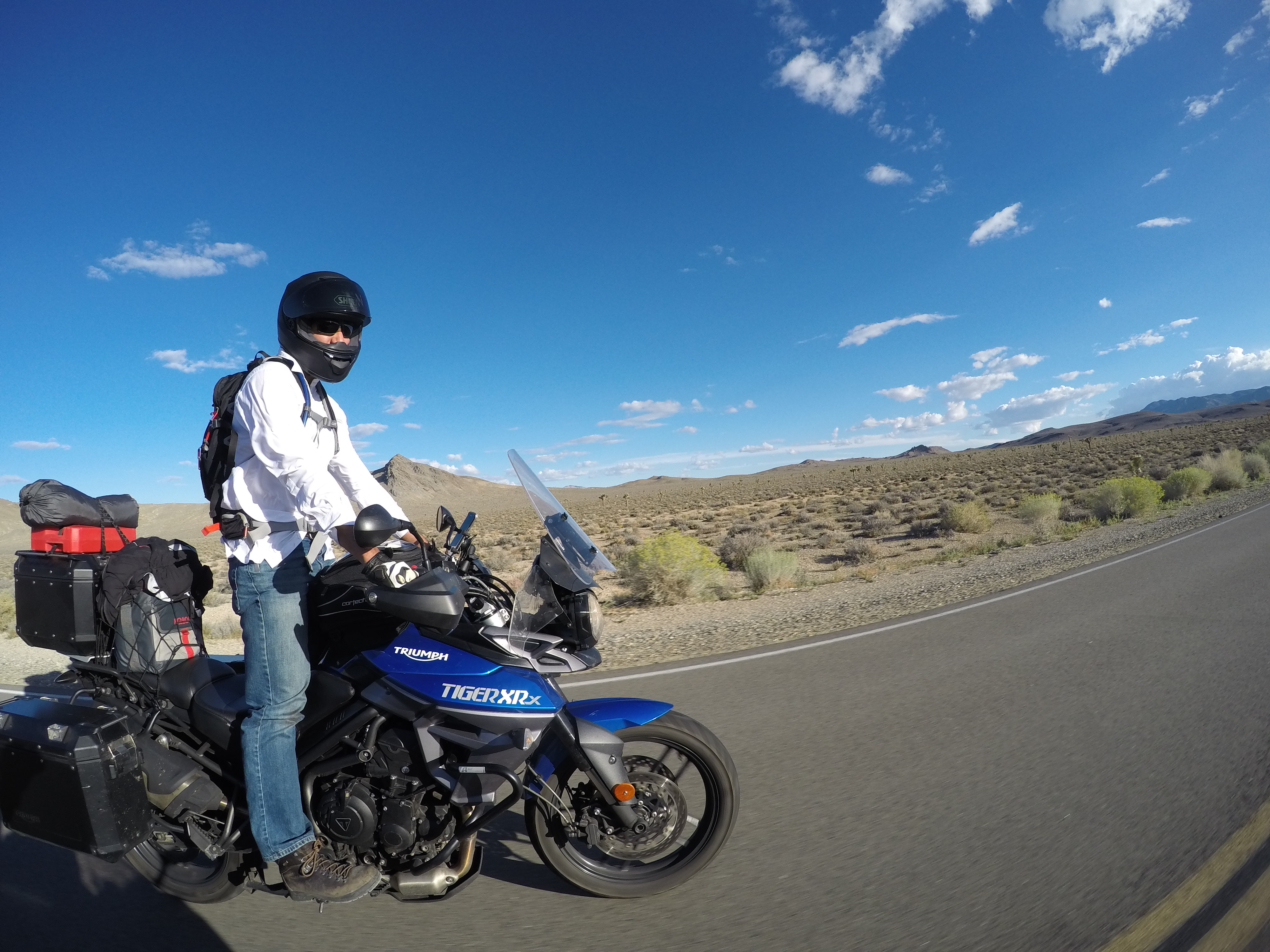
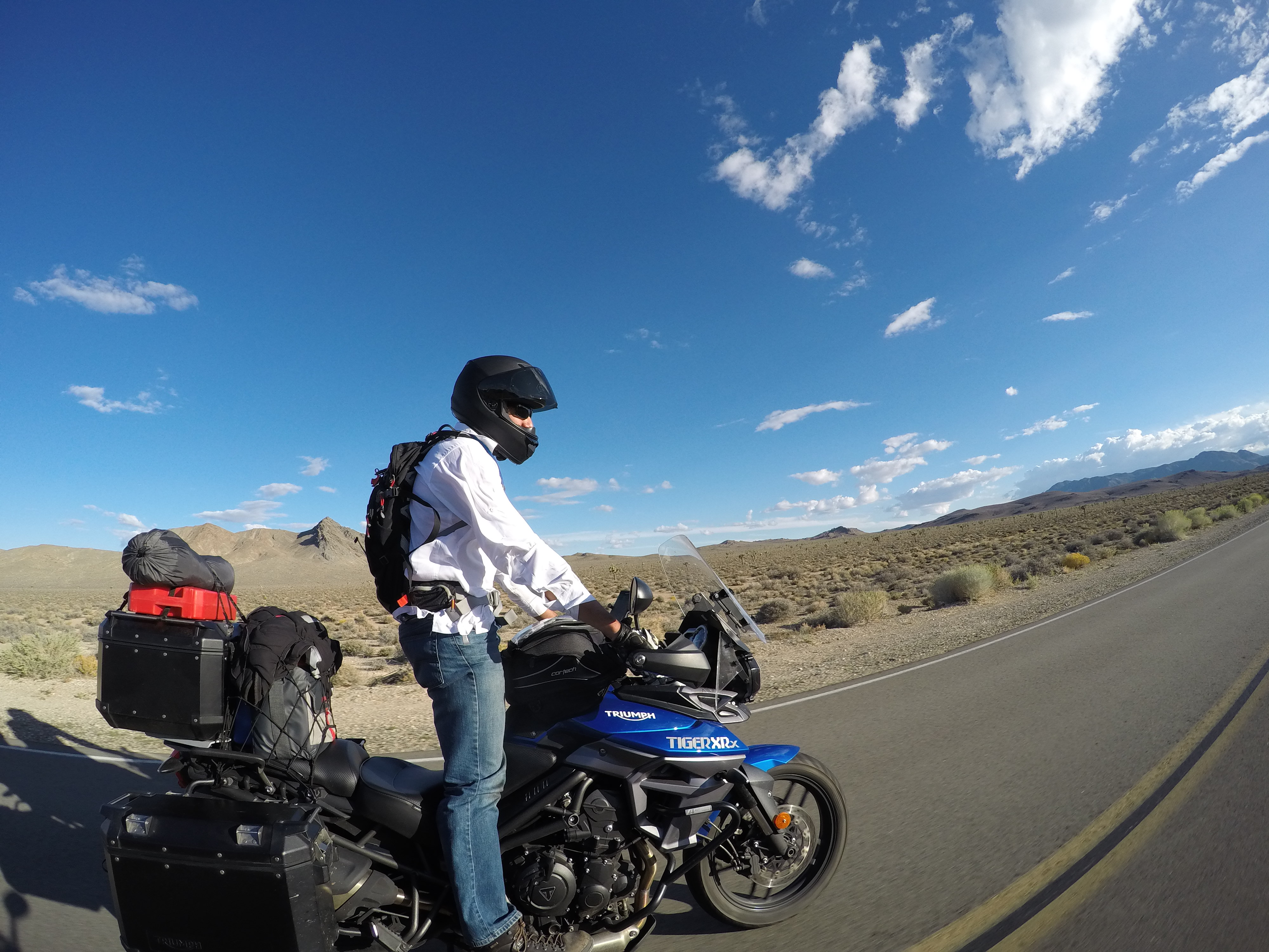
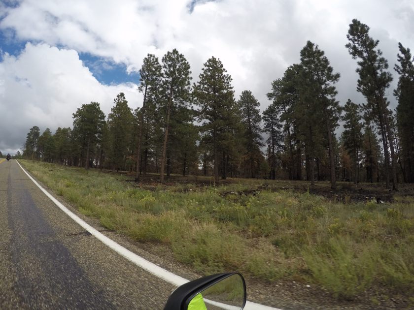
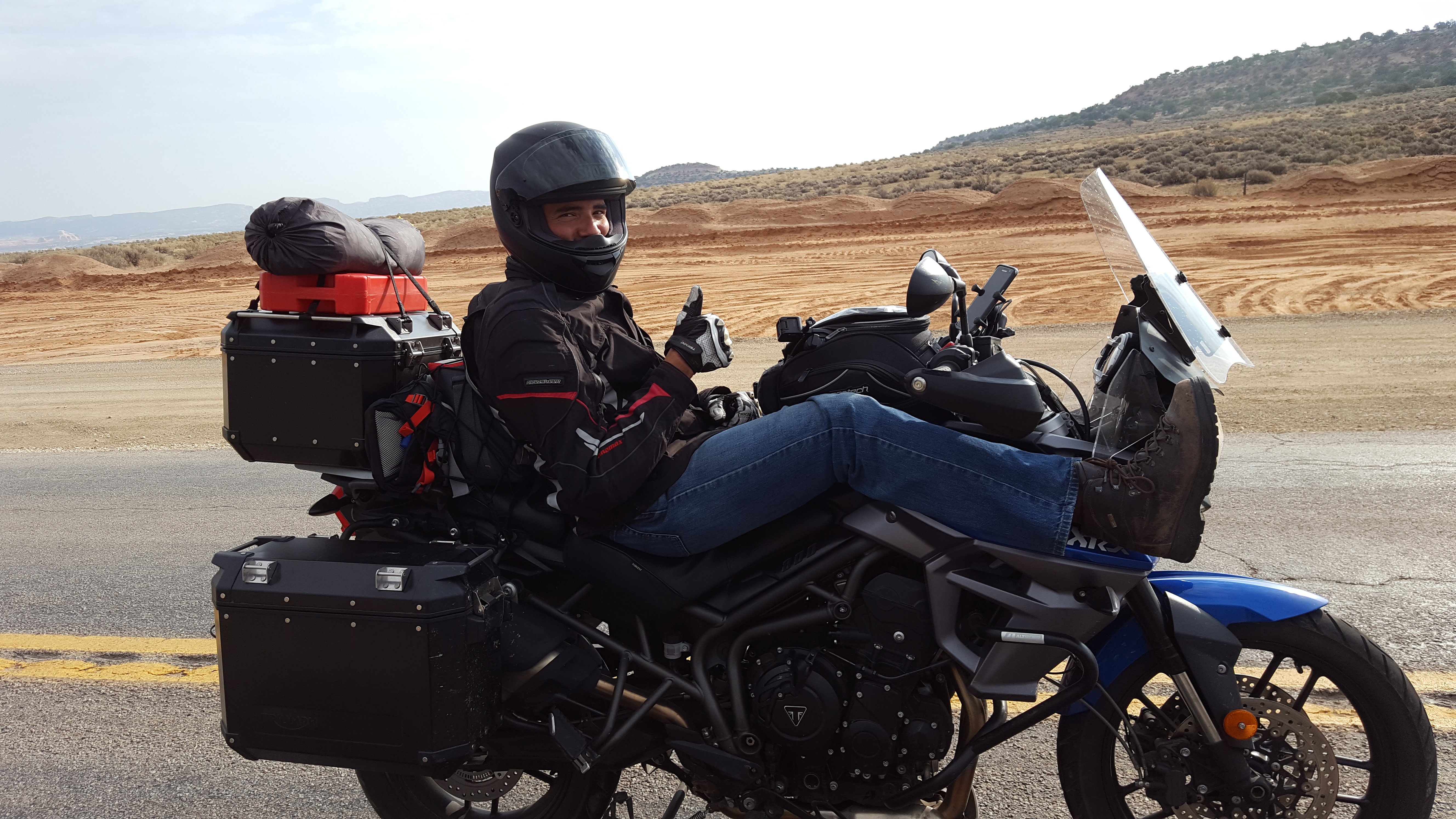
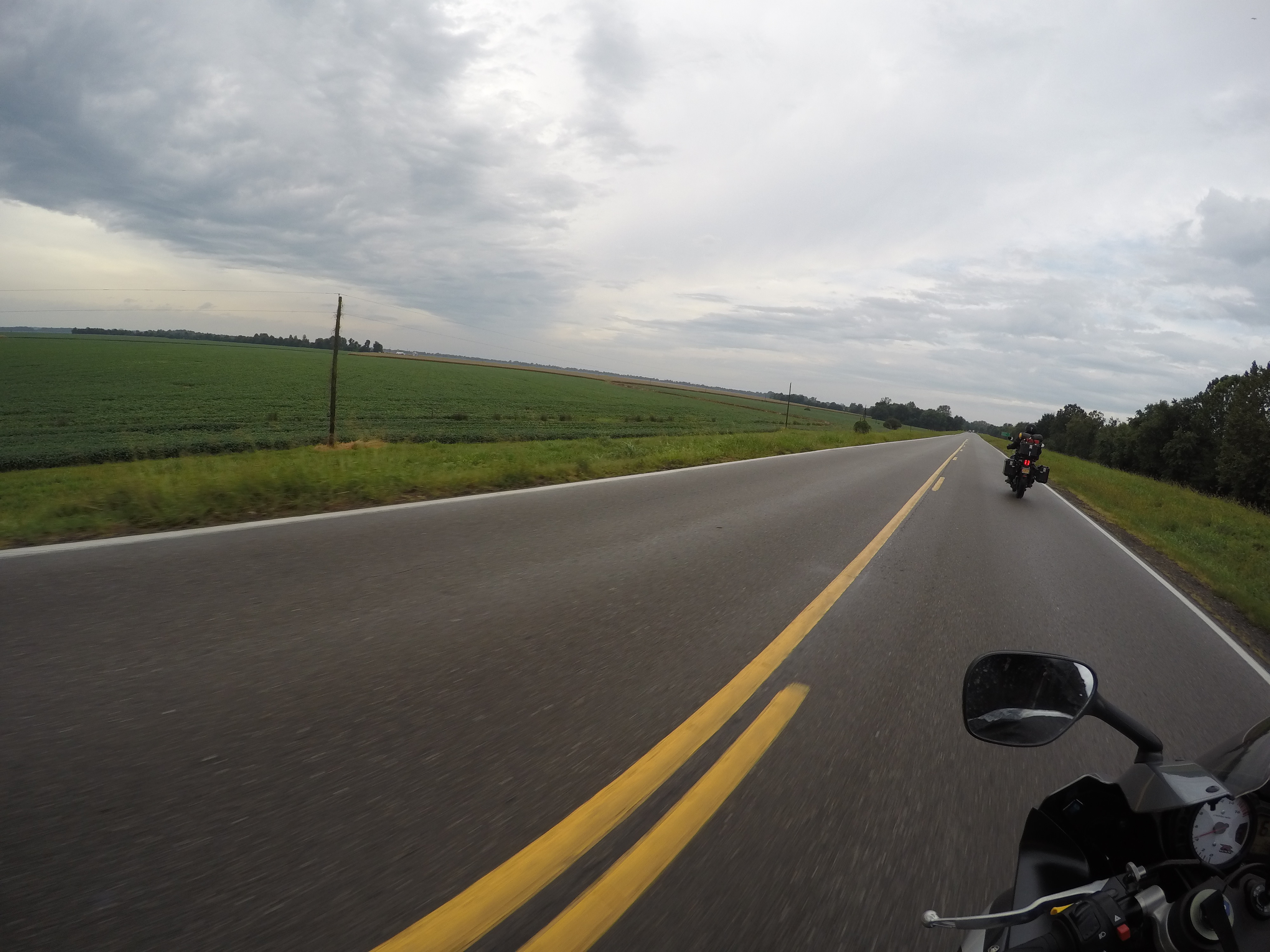
Before we started the day, we filled up our Camelback’s.  We wanted to make sure we had plenty of water and also be able to drink while riding across Death Valley. It was supposed to be about 100F.  For those that don’t know, it is roughly 100 miles traveling east/west on route 190.

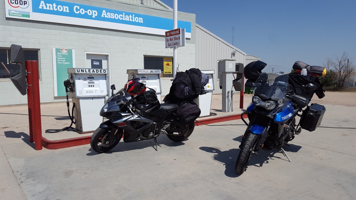
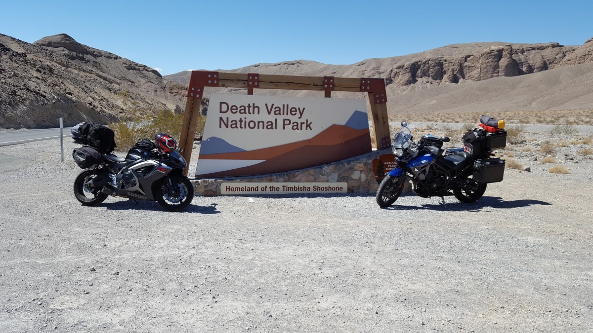
Before entering the park, we stopped for gas in Death Valley Junction.  We were told that gas is extremely expensive in the park and when the temperatures are that high, gas mileage is much less, so I was concerned that I would definitely need to refill.  My bike gets less than Gabe’s bike.  By the time he would be at half-a-tank, I would be just about empty.  After filling, we continued into the park.  It was beautiful!  I never realized how mountainous Death Valley is.  When we entered, the temperature was high 90’s.  We came across the sign for Death Valley, rode passed then decided to turn around and get pictures of the sign.  I thought it was cool that we did this to show people we took the motorcycles across the country and then through the hottest place on Earth.

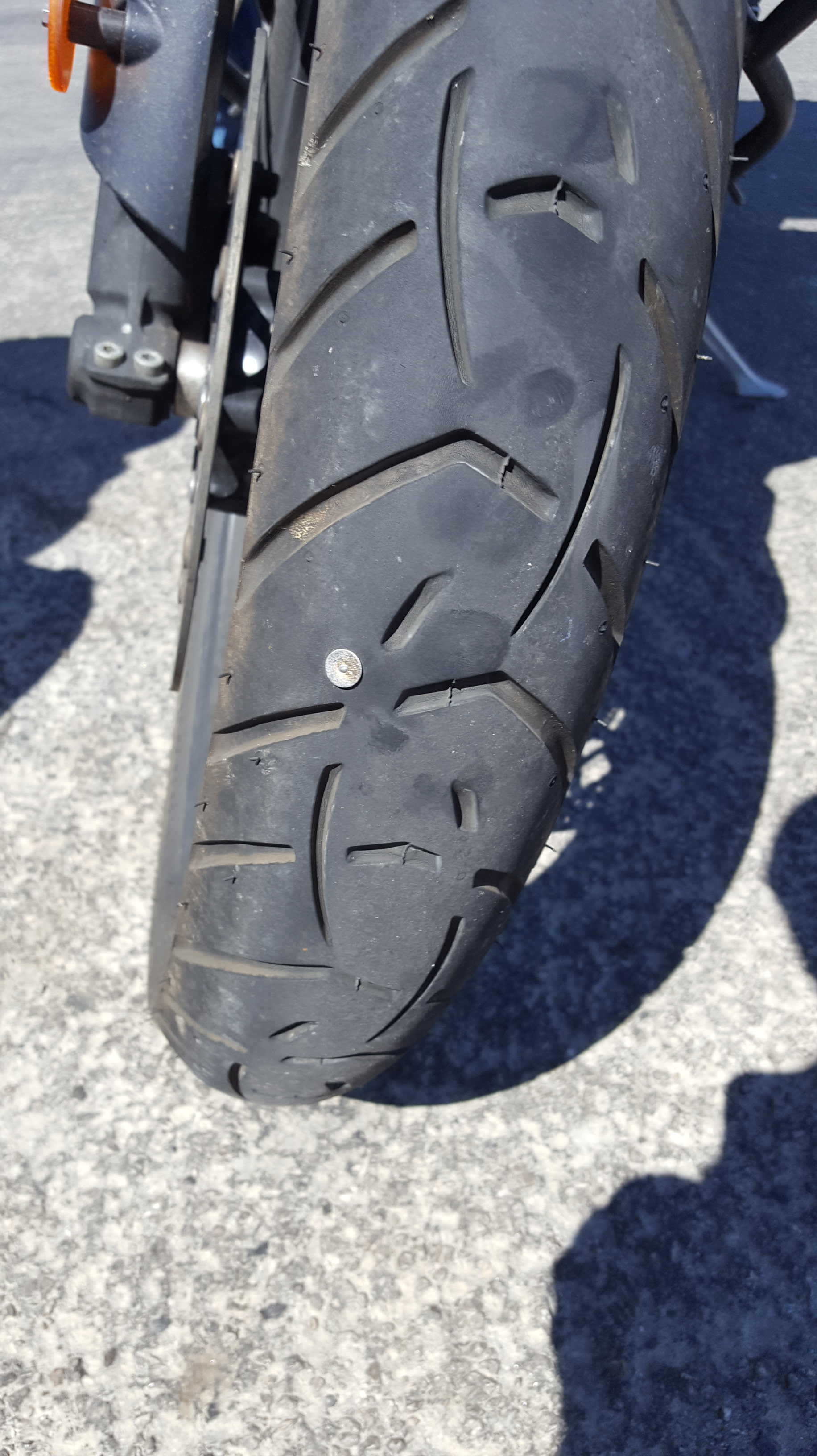
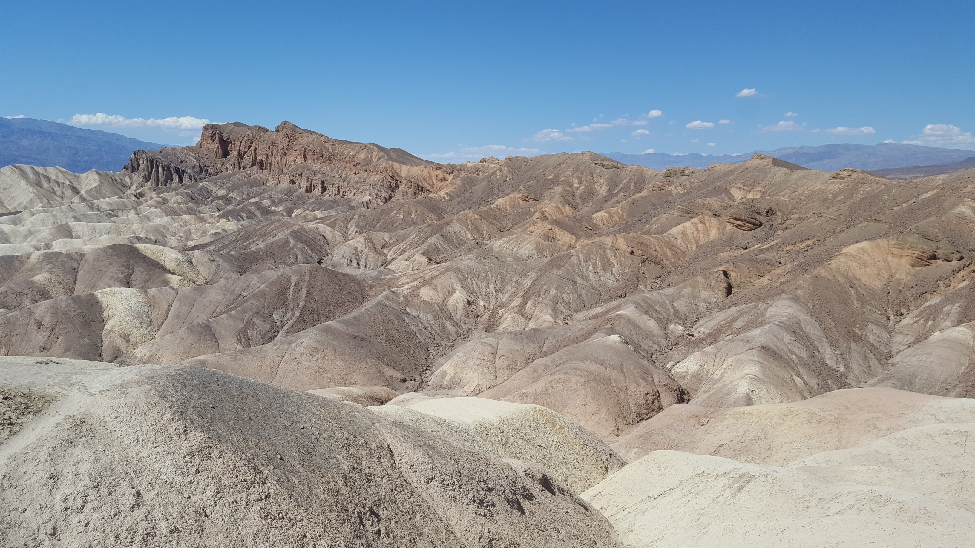
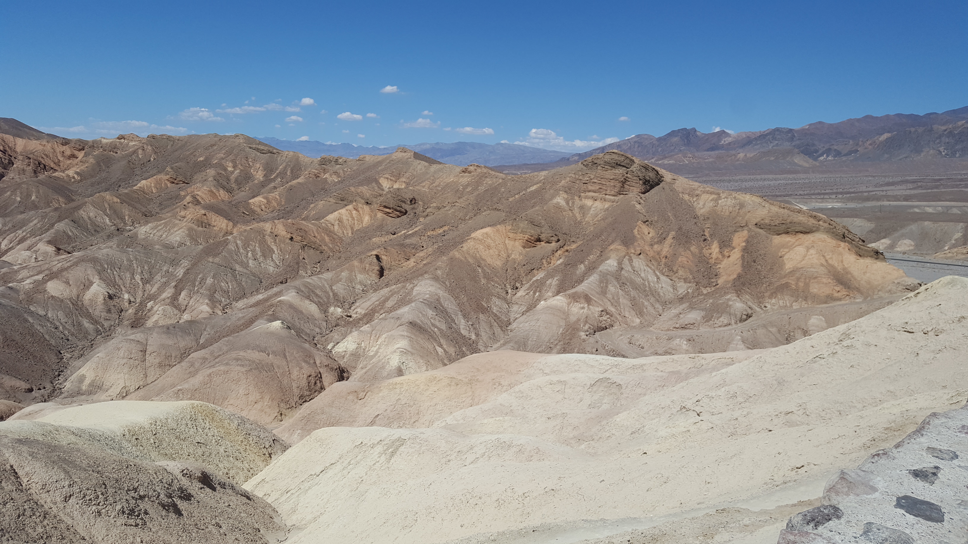
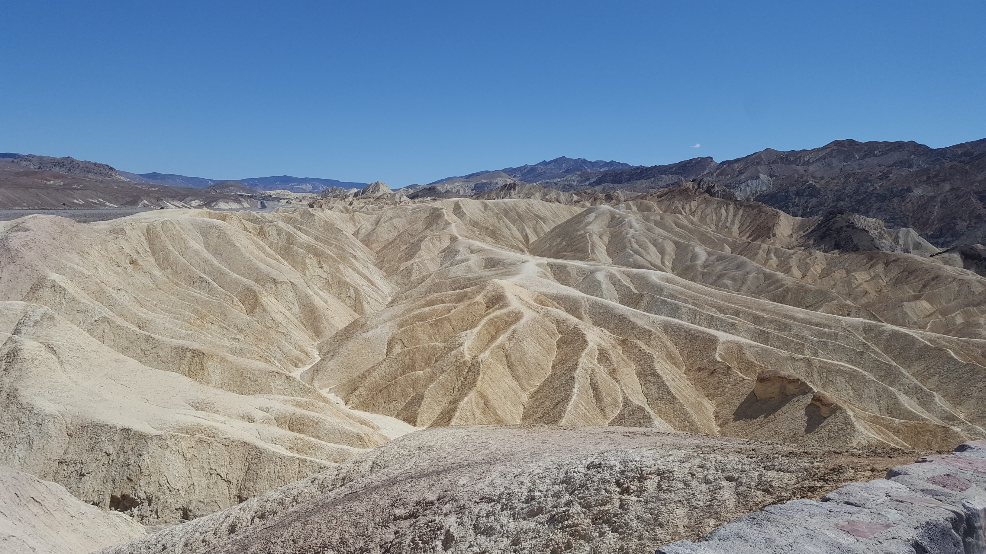
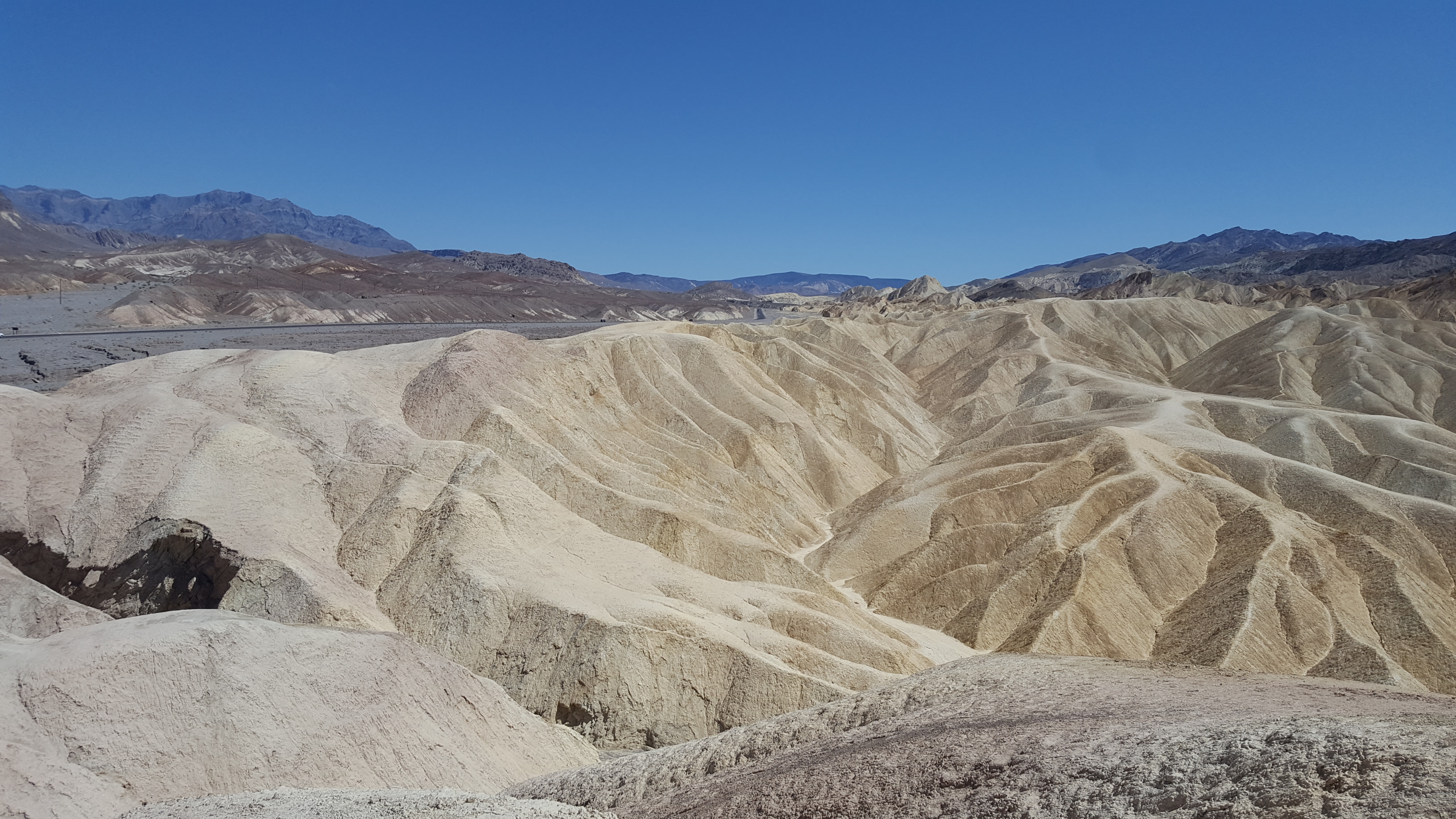
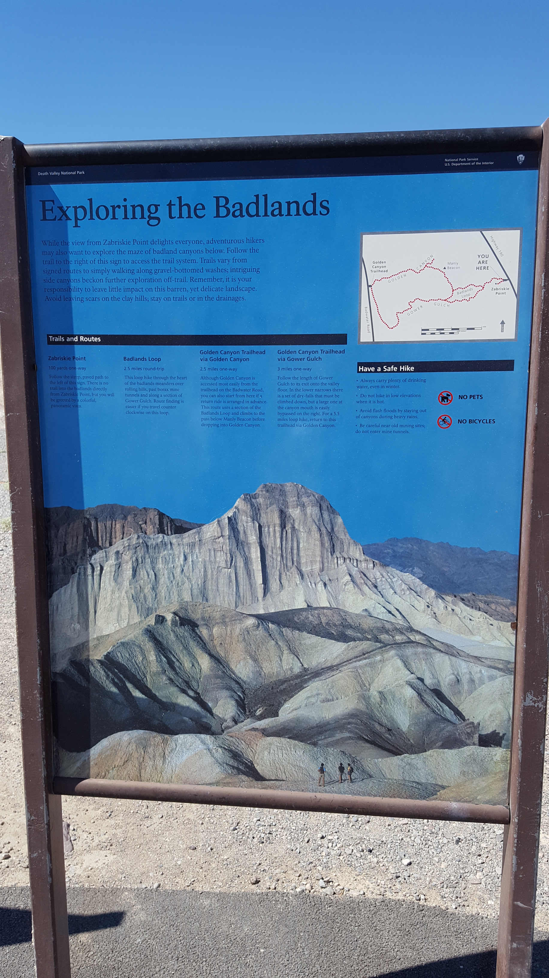
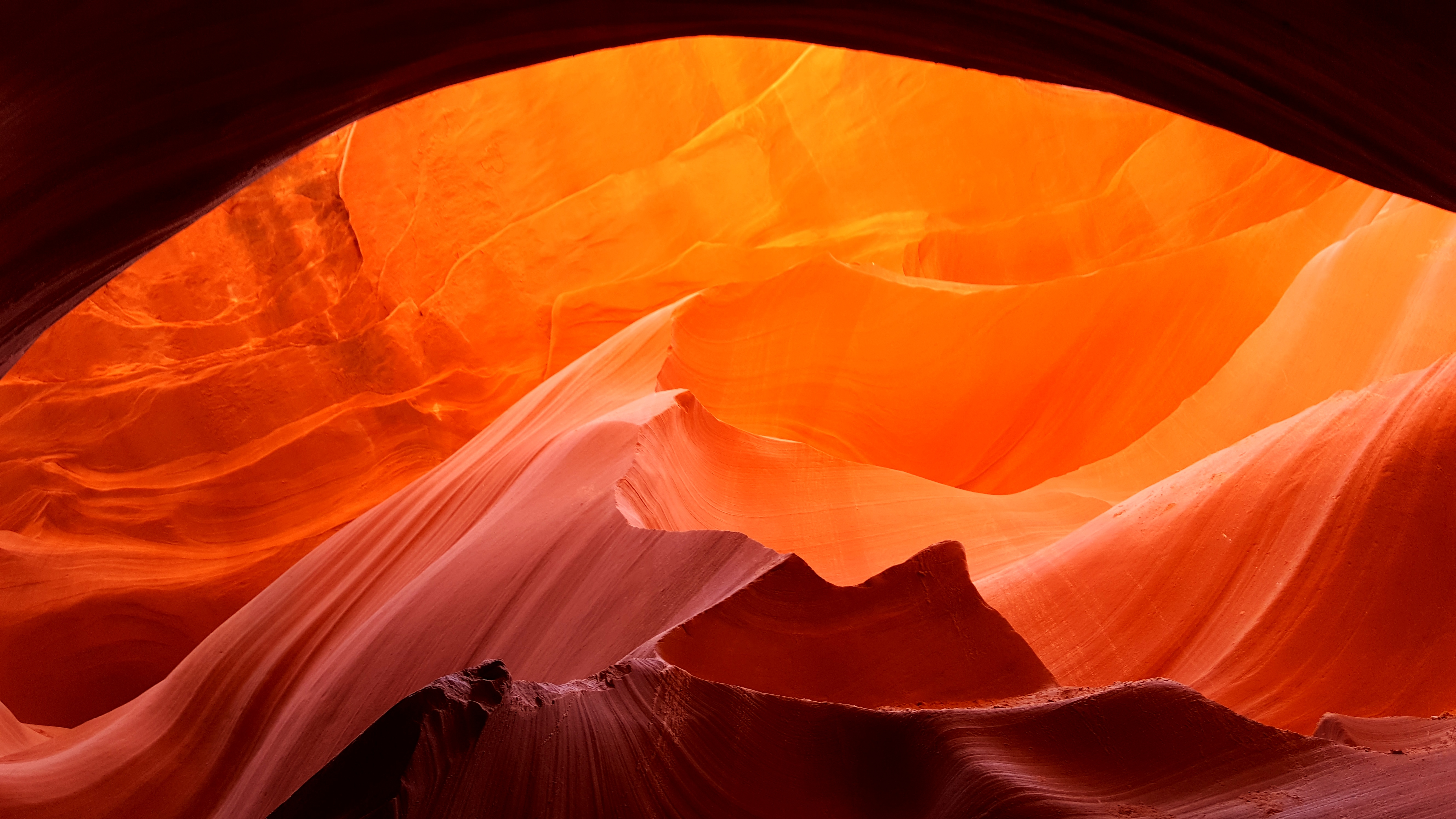
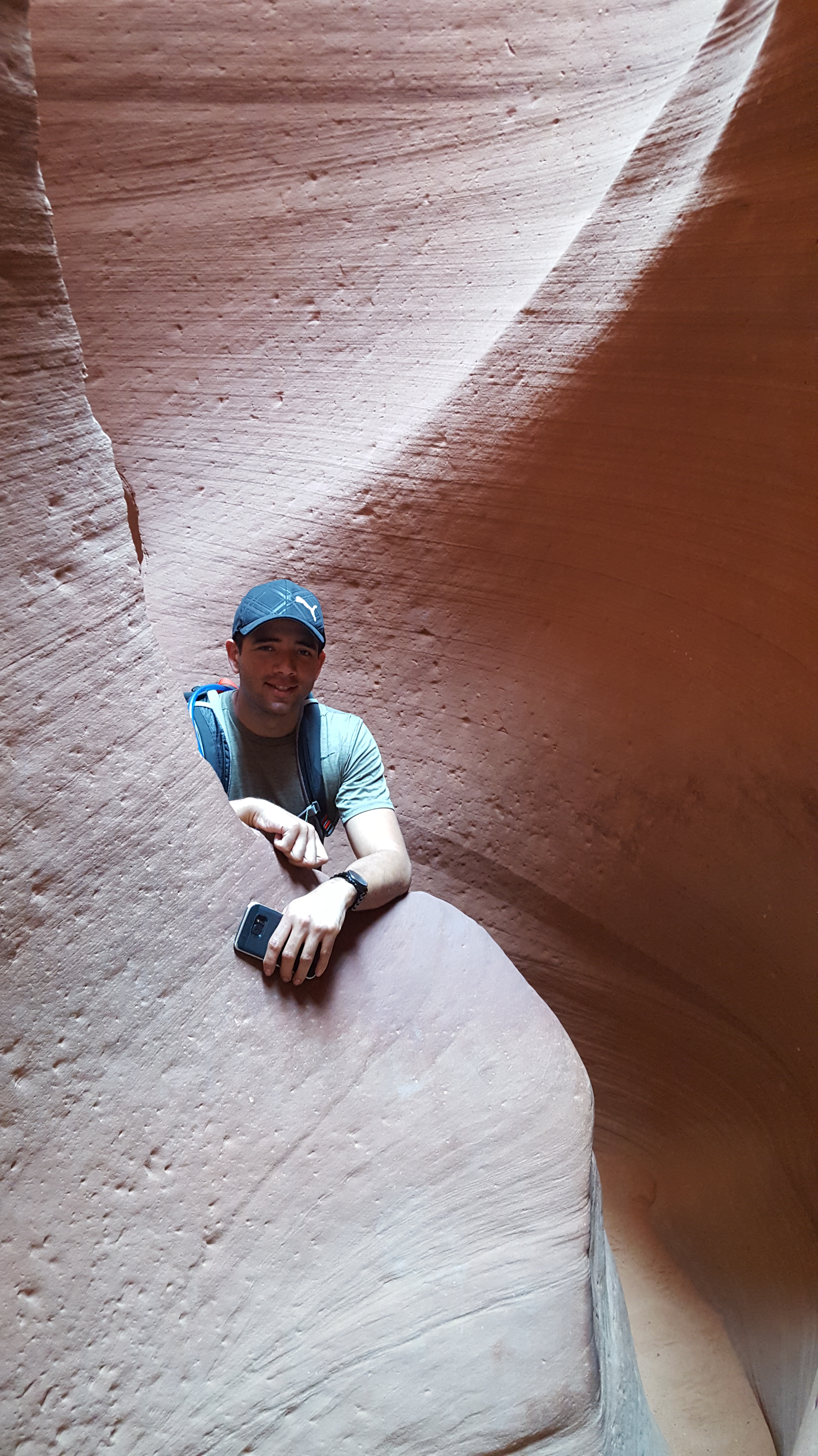
Shortly after stopping for sign, there was a parking lot with people parked at Zabriskie Point.  So, we stopped and walked up this path and took some pictures.  It was really neat to see the Badlands and the way the way the sediments settled and formed.  We were only up there for five minutes or so because it was pretty hot.  At this point it was already above 100F.  As we got back to the bikes we were putting our helmets on.  I was using my Bose ear buds so I would hold my helmet between my legs, put the ear buds in, then put on the helmet.  Well, it was a good thing I looked down!  I noticed a nice shiny gold looking piece of metal attached to Gabe’s tire.  It was a nail!  Of all places, we were in the hottest places with nothing really nearby.

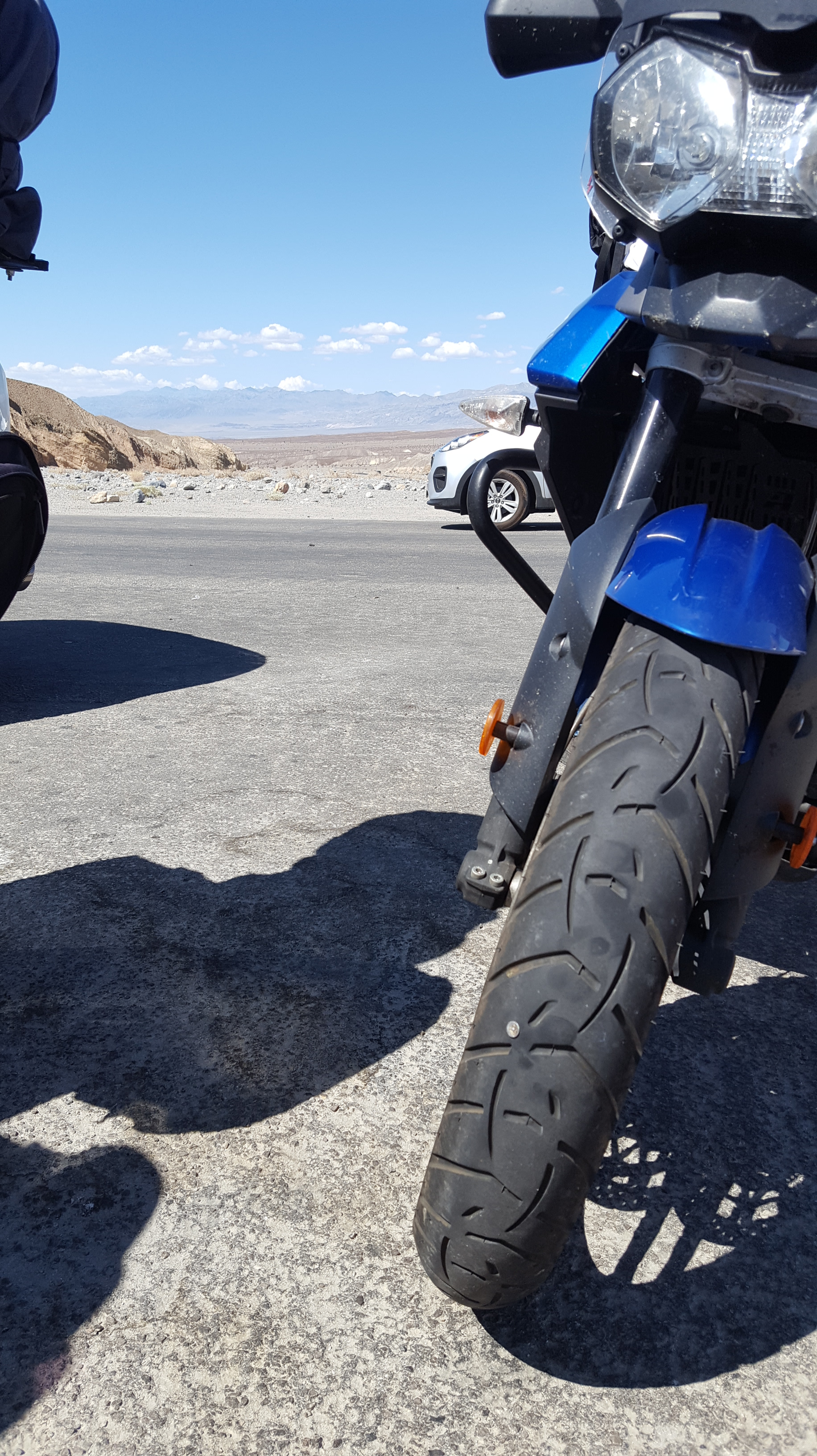
We had to unload some gear to get the tire plug kit.  However, the nail was so small it would have been exhausting trying to ream the hole to plug the tire.  I spit on the tire to see if it would bubble.  Of course, the nail went all the way through the tire.  While looking at it and deciding what to do, Gabe dropped the nail.  Now we couldn’t find the nail to plug the tire.  Although it was a very tiny leak, it was hot and we still had 50 miles or so to go until we got out of the park on the western end.  Luckily, Gabe found the nail.  That was a relief.  We ended up deciding to coat the nail in the rubber cement and place it back in the same hole.  It held and we took off.

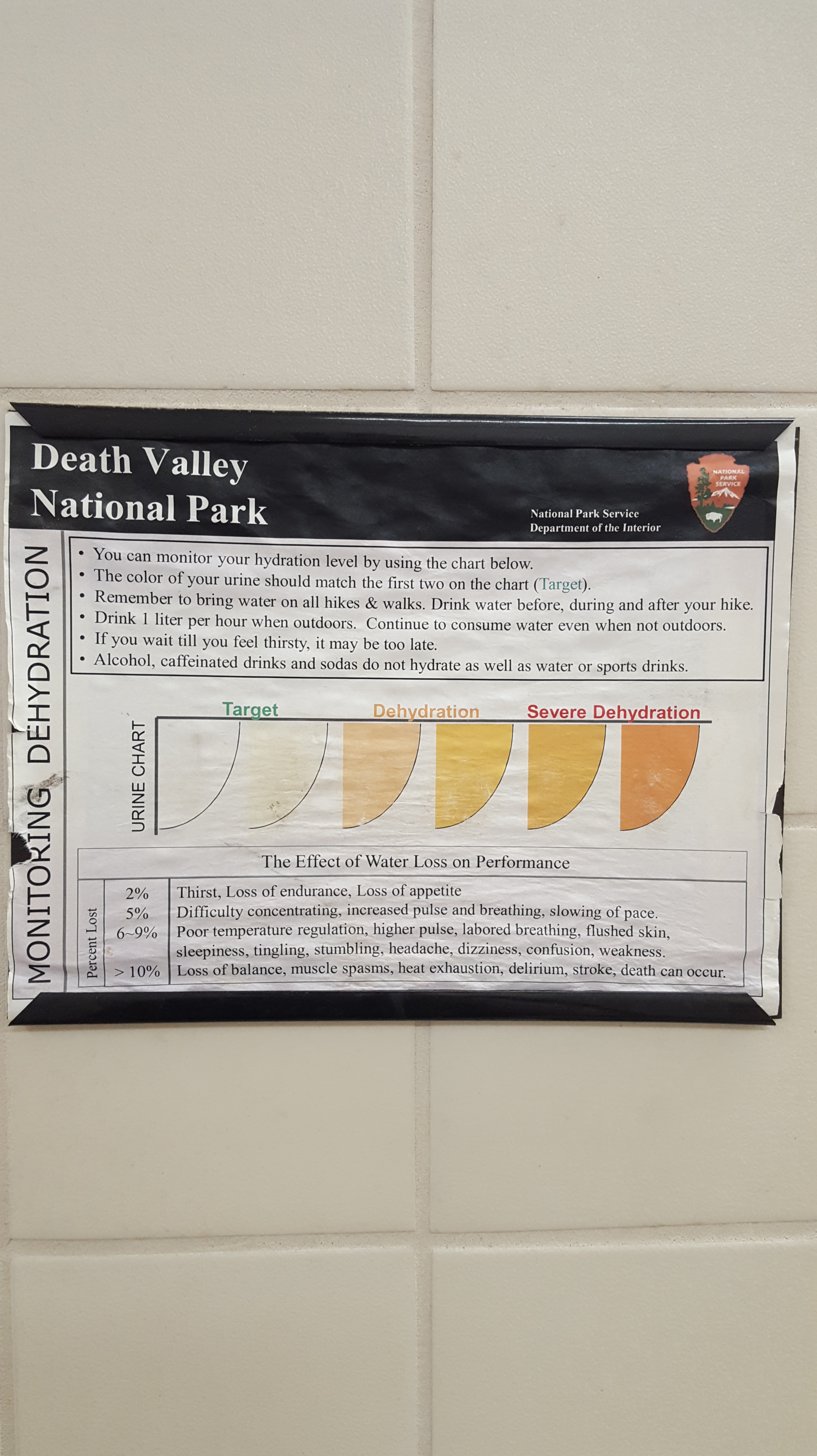
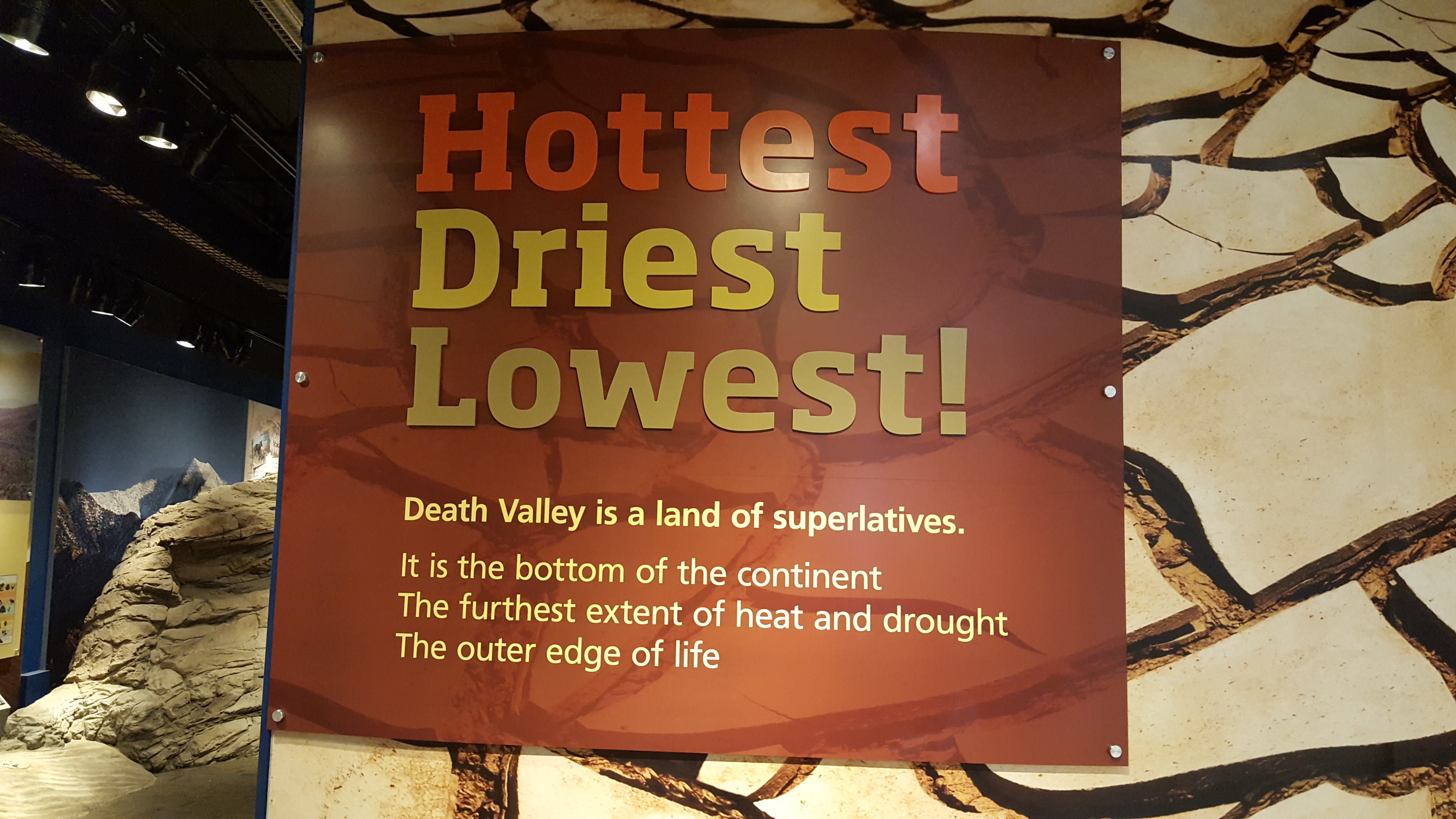
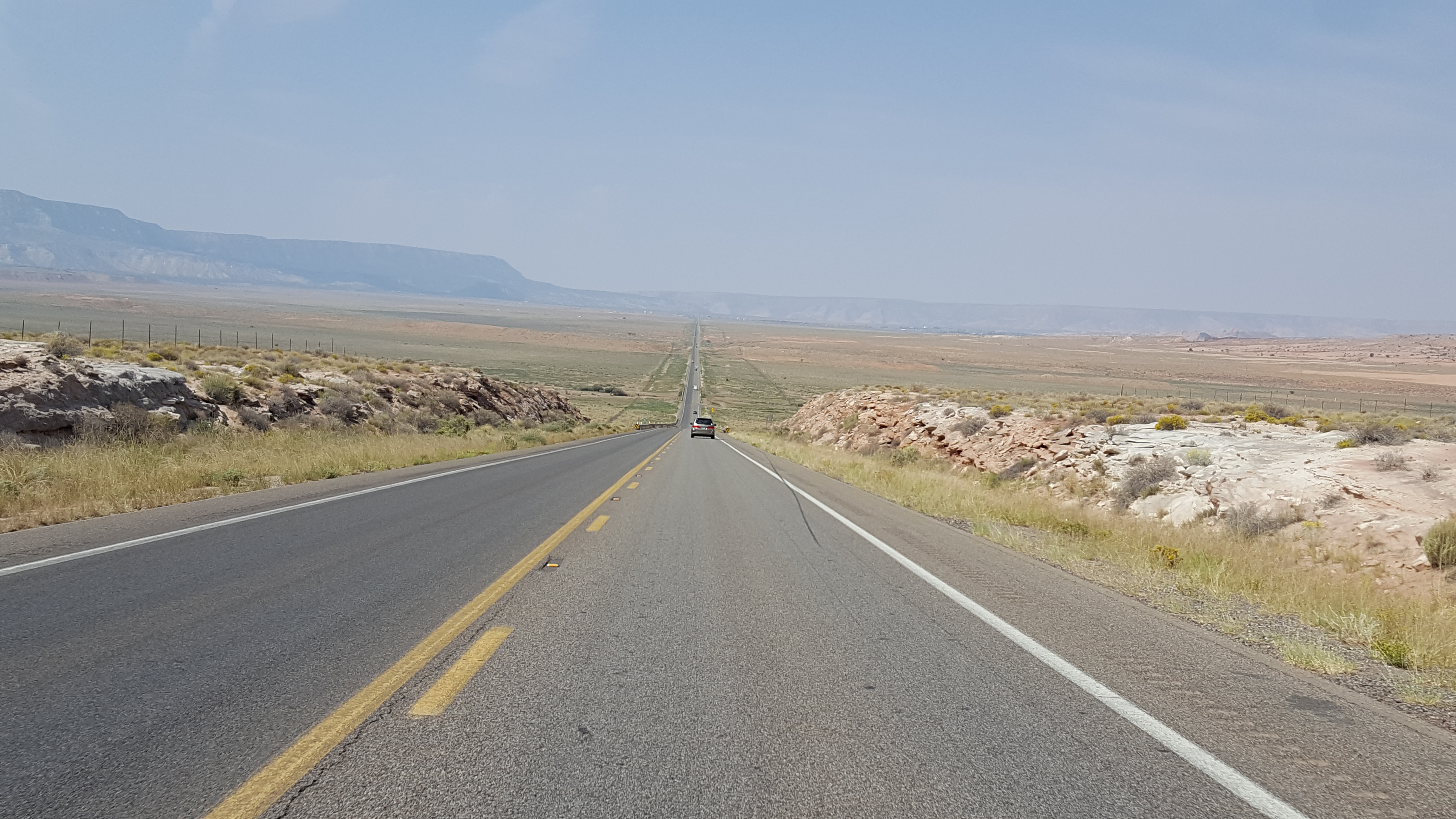
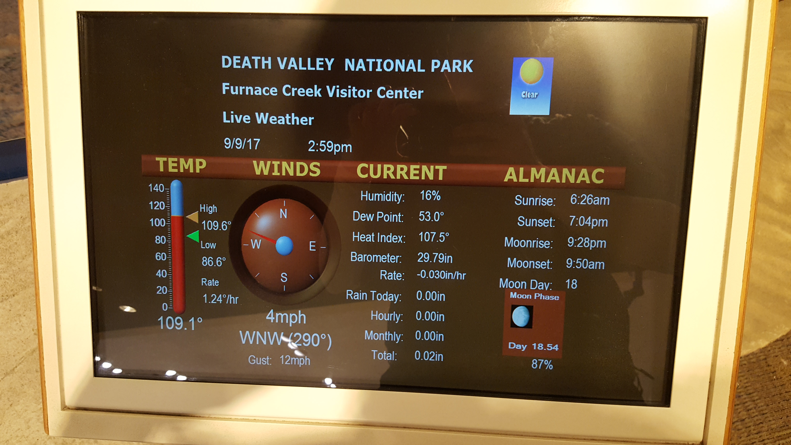
We went a few miles down the road and saw the visitor center so we stopped to look at the tire and cool off inside.  His tire was still in good standing.  Inside the visitor center, they had a display with the temperature and the humidity.  It was 109F and only 16% humidity.  I think this was a little higher than normal because it looked as if it rained just a couple of days prior.  They have a neat 3D display of all of Death Valley.  While inside we tried getting some water from a water fountain.  This was a major let down.  The water was coming out hot.  I held the button for a couple minutes and it was still hot, so I had some anyway.  I wanted to make sure I was hydrated.  Then we headed out, filled our Camelback’s up, looked and Gabe’s tie again and got back on the road.  At this point, it was 2:30 in the afternoon.  Gabe’s bike was displaying 108F and you could just see heat waves ahead.

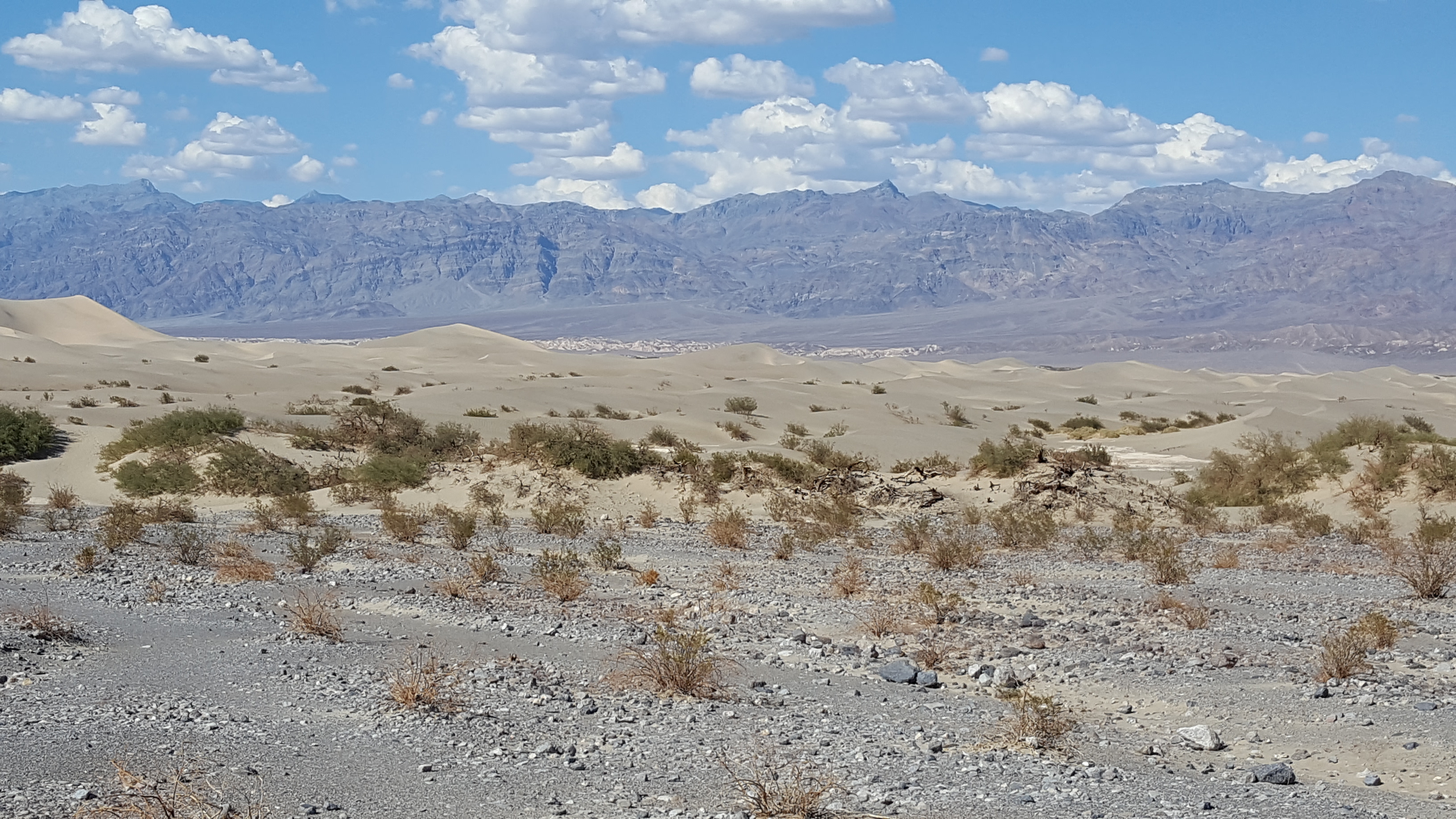
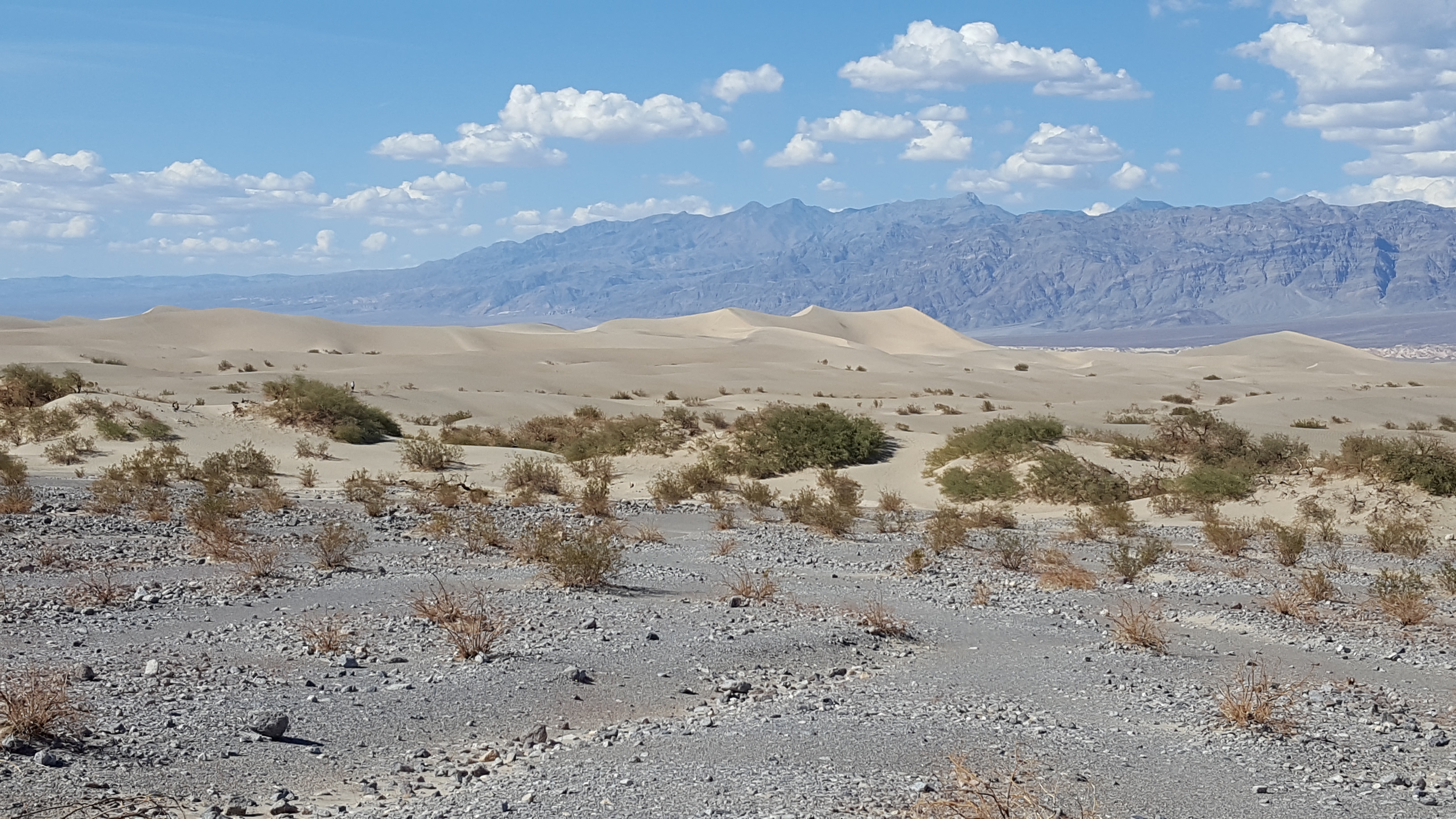
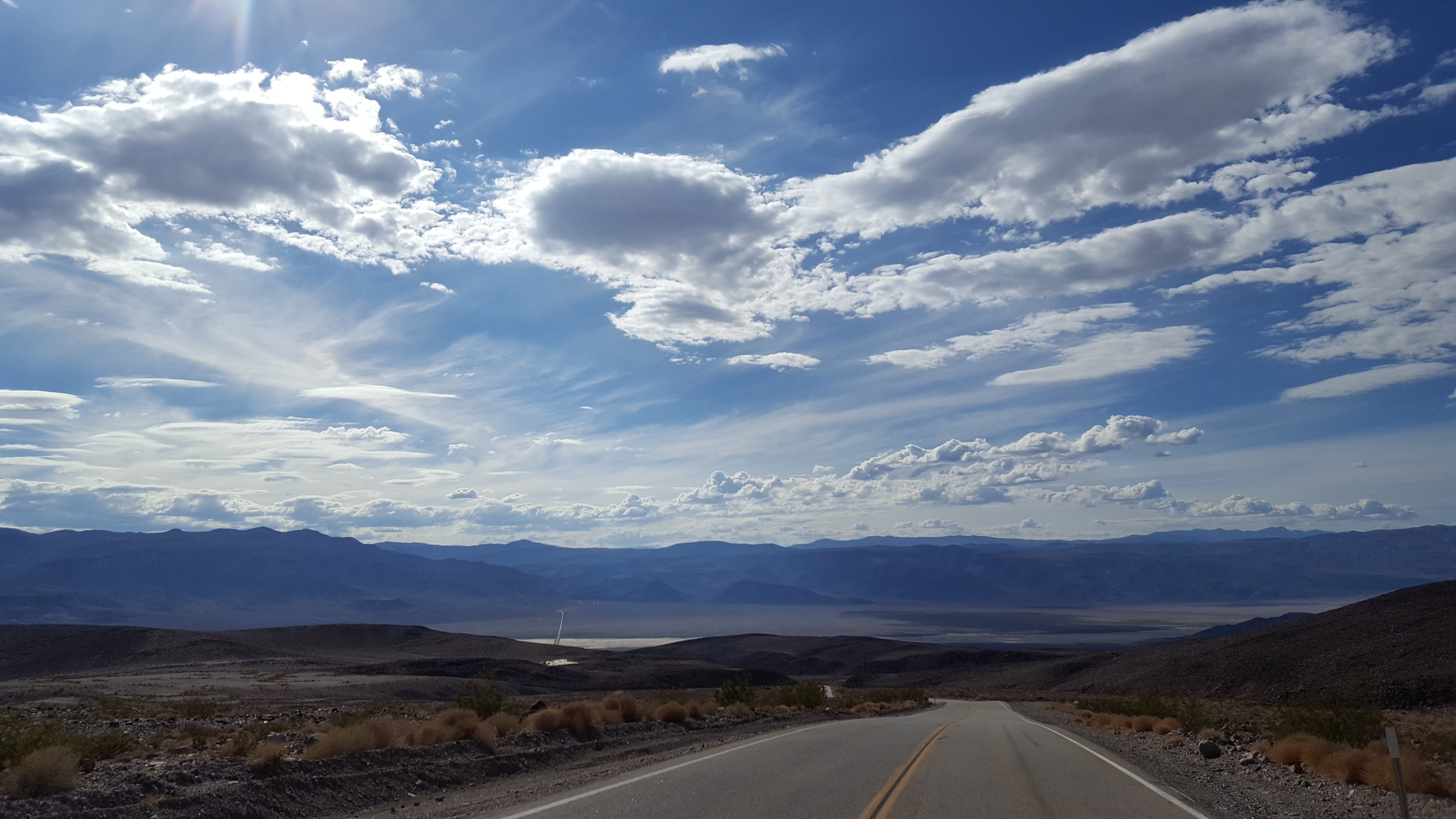
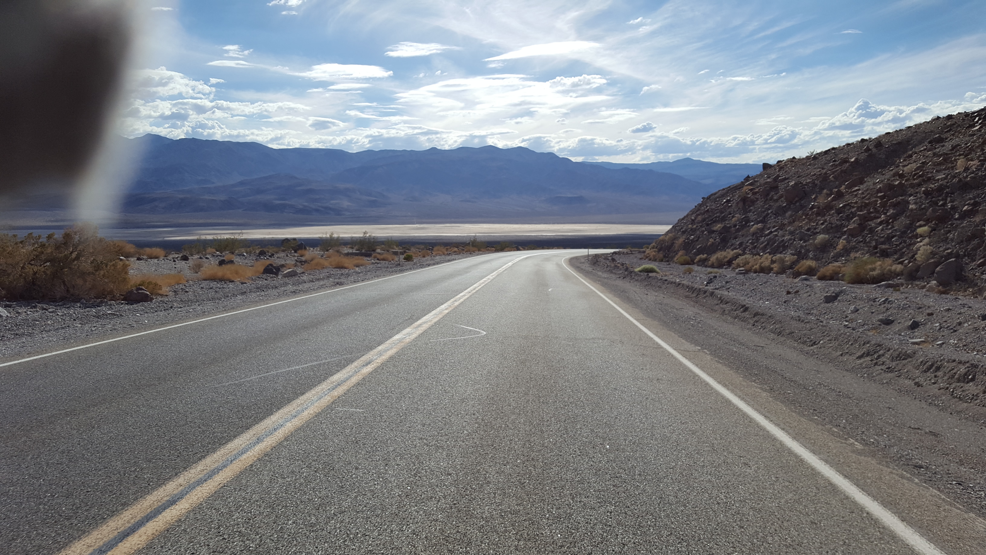
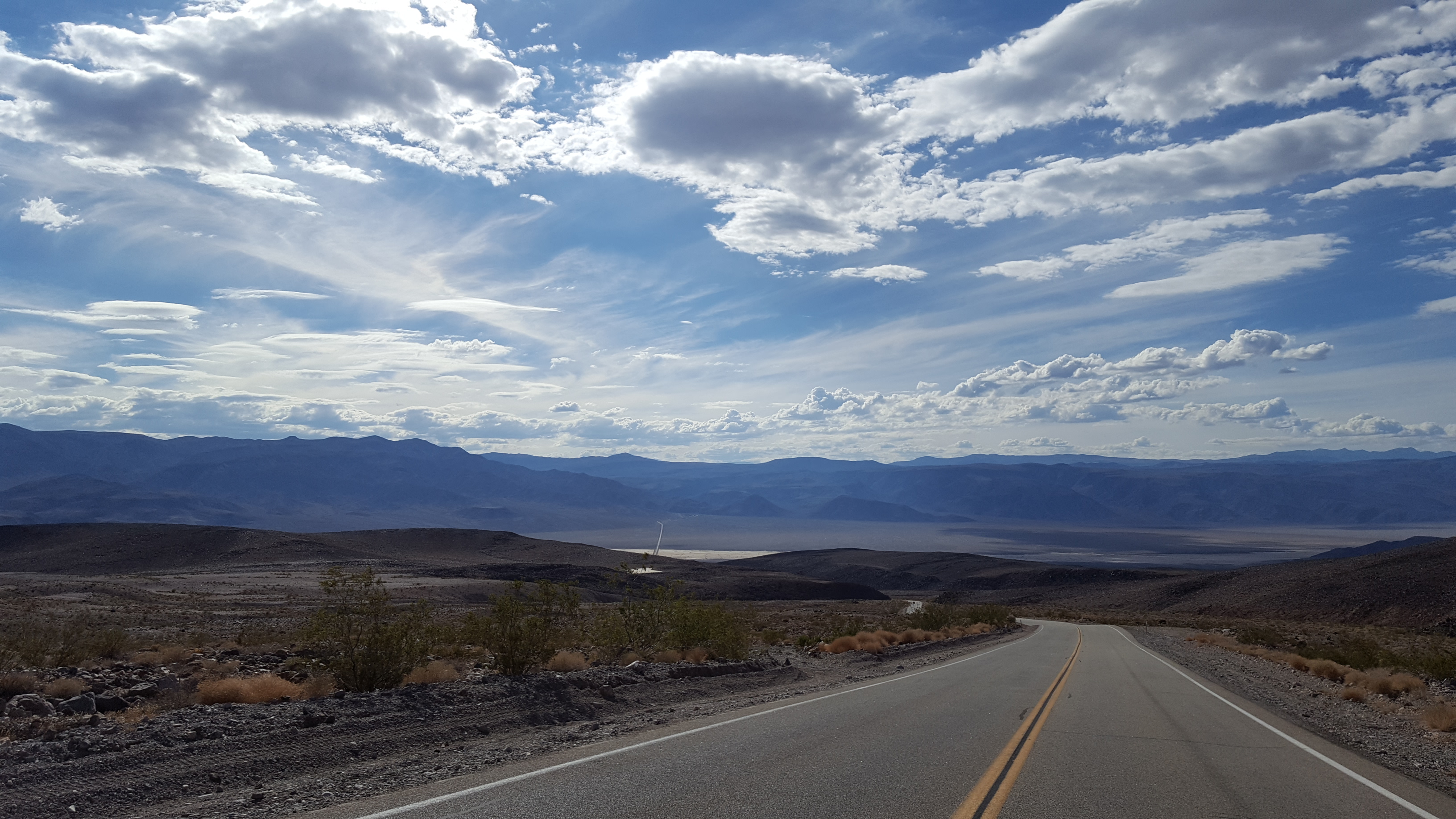
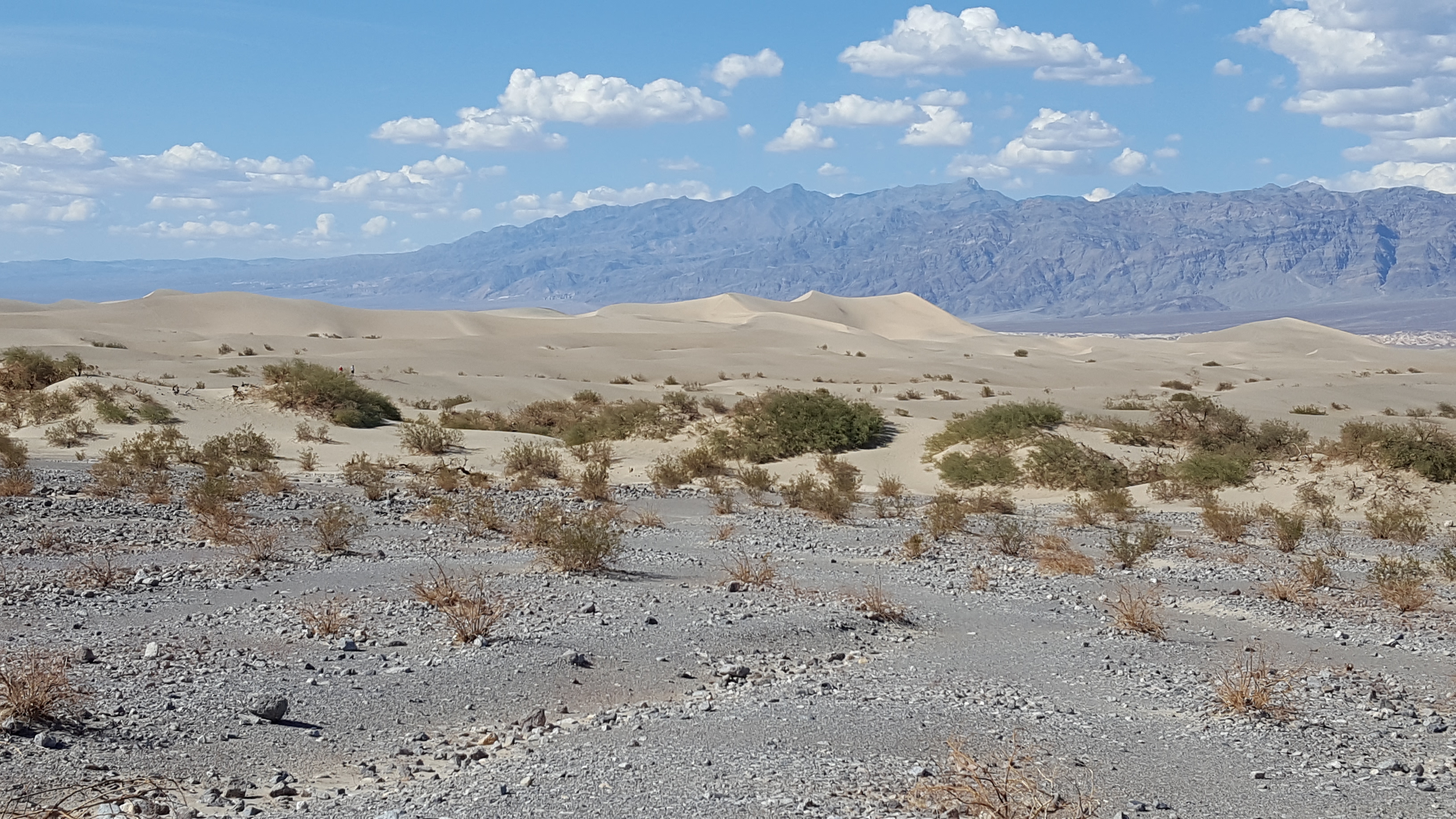
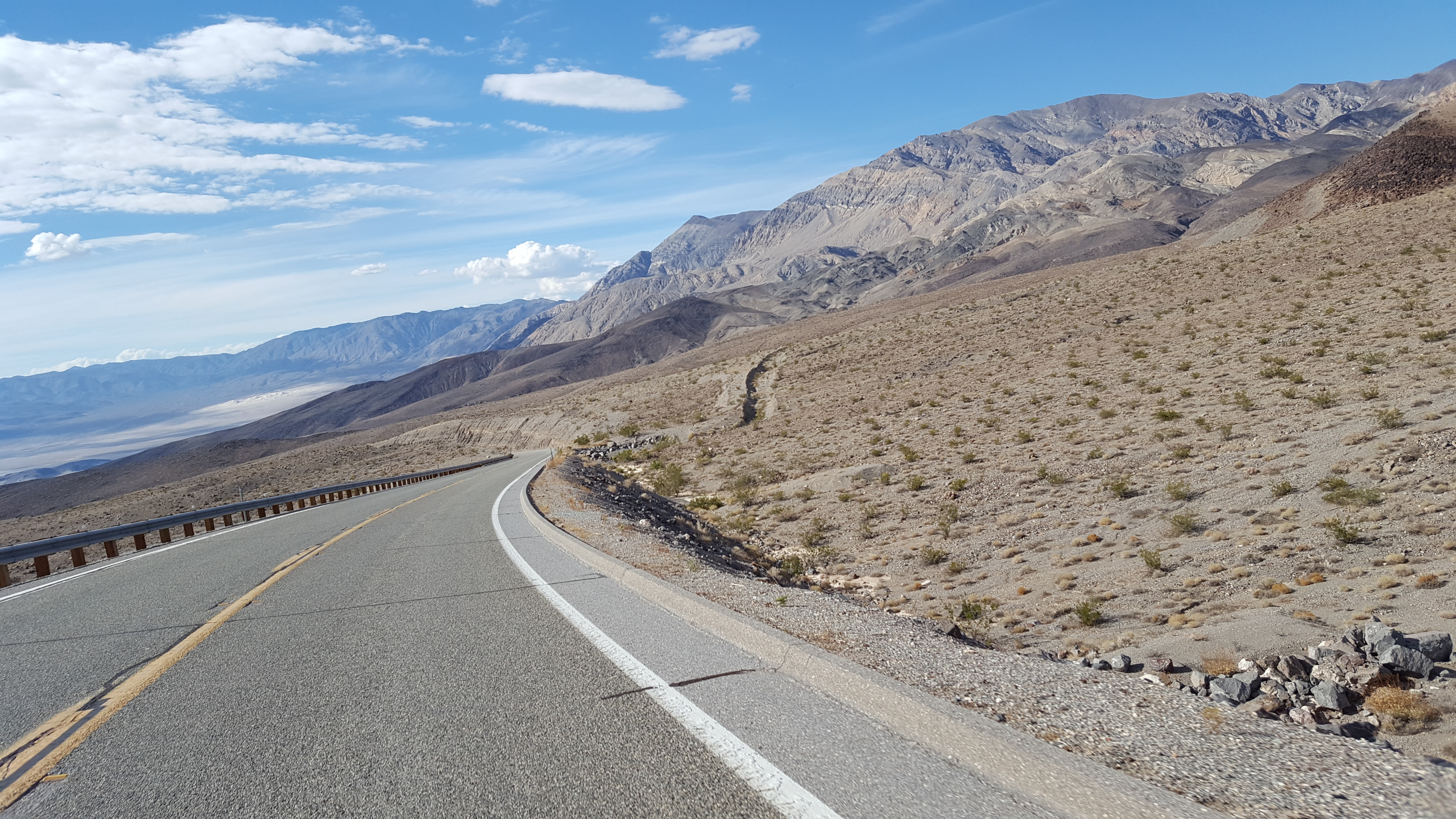
While riding from the visitor center through Furnace Creek, there are signs that show the elevation.  At some points the elevation is more than 100 feet BELOW sea level.  Badwater Basin is just a little south from there and at one place it is 282 feet below sea level.  We didn’t go there, we just kept riding.  From Furnace Creek, you ride through Beatty Junction which has an elevation of -187 feet.  It was HOT.  Then, off in the distance a few miles more there appeared to be gold hills.  These “gold hills” were actually sand dunes.

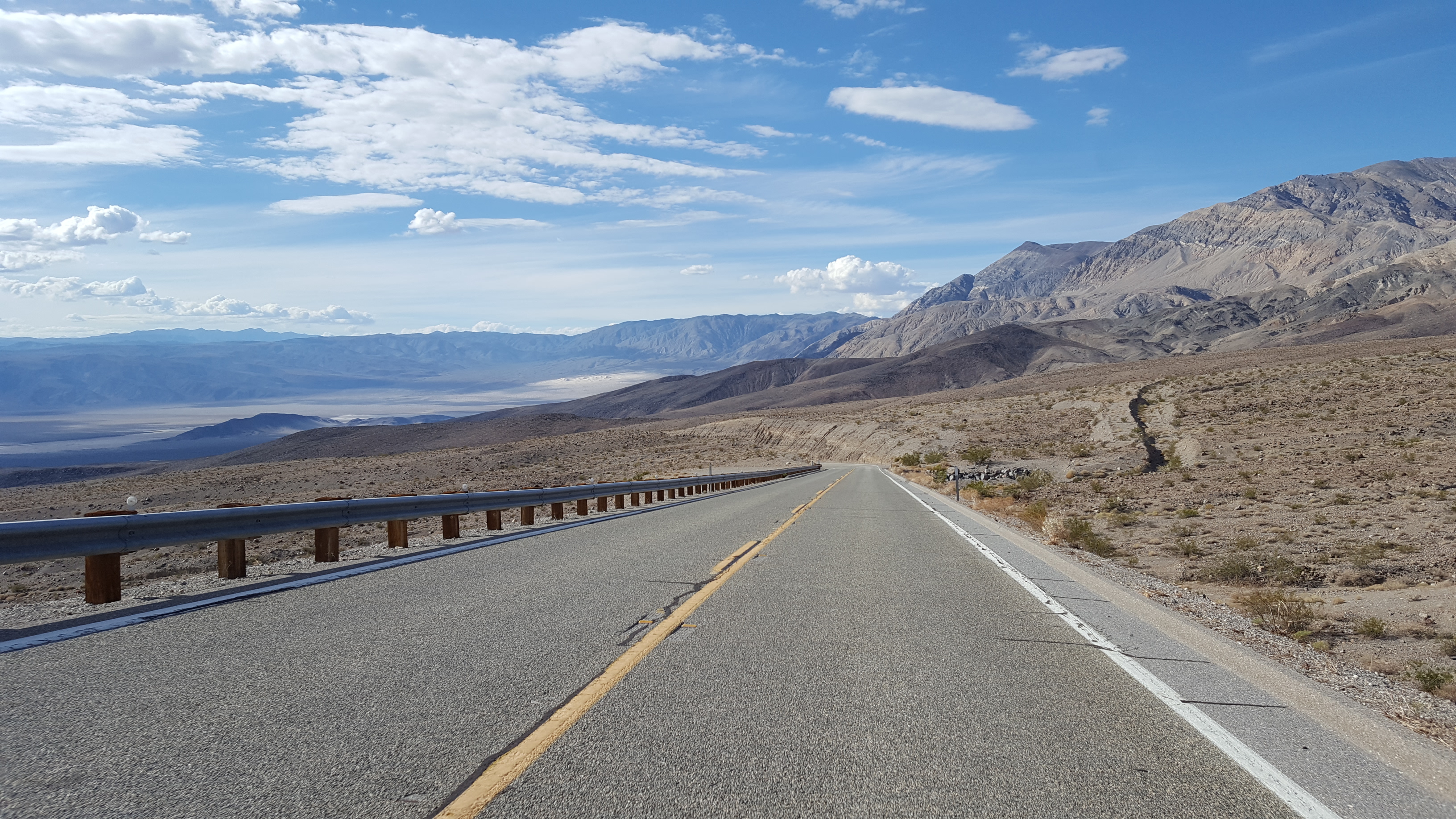
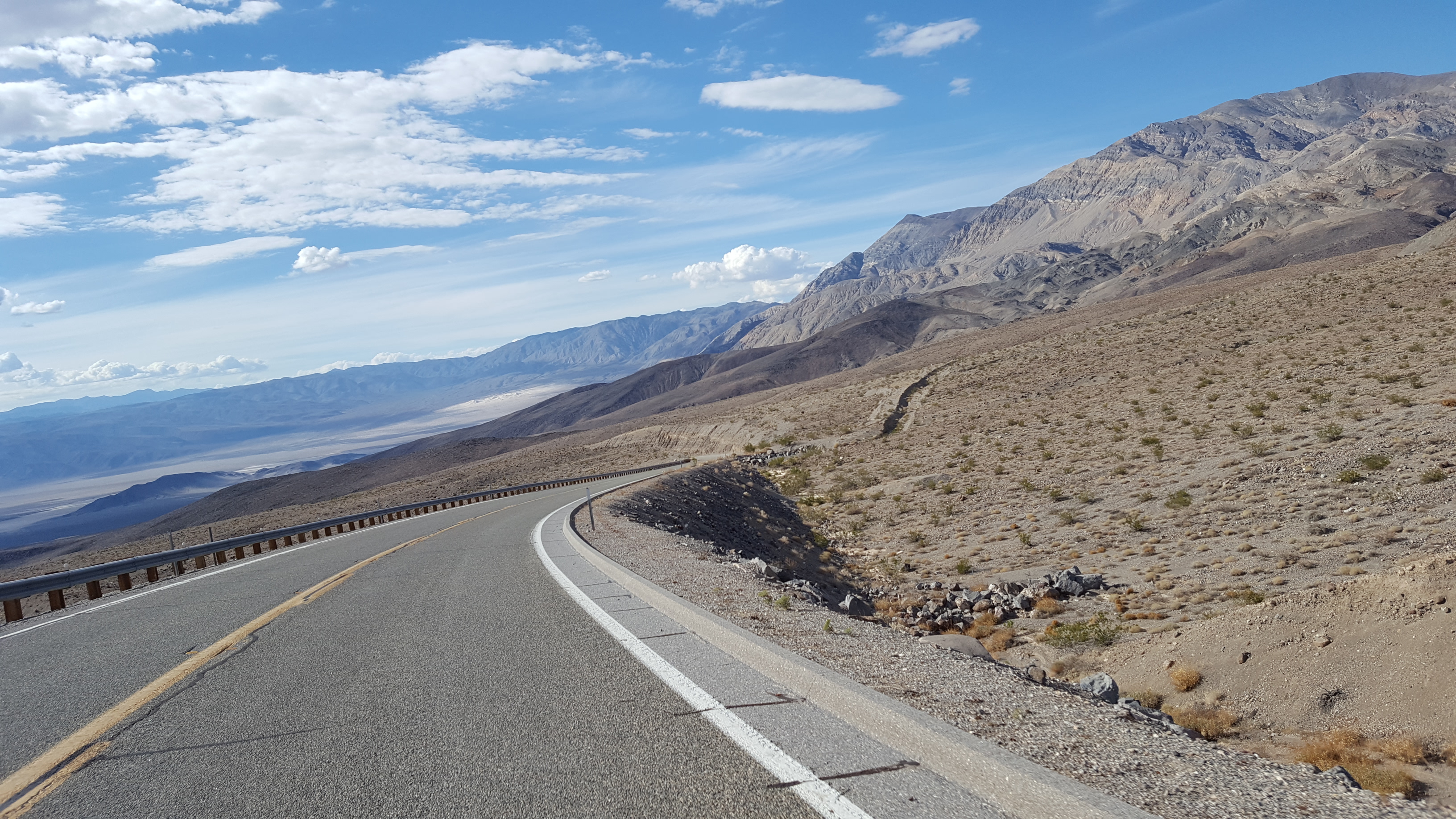
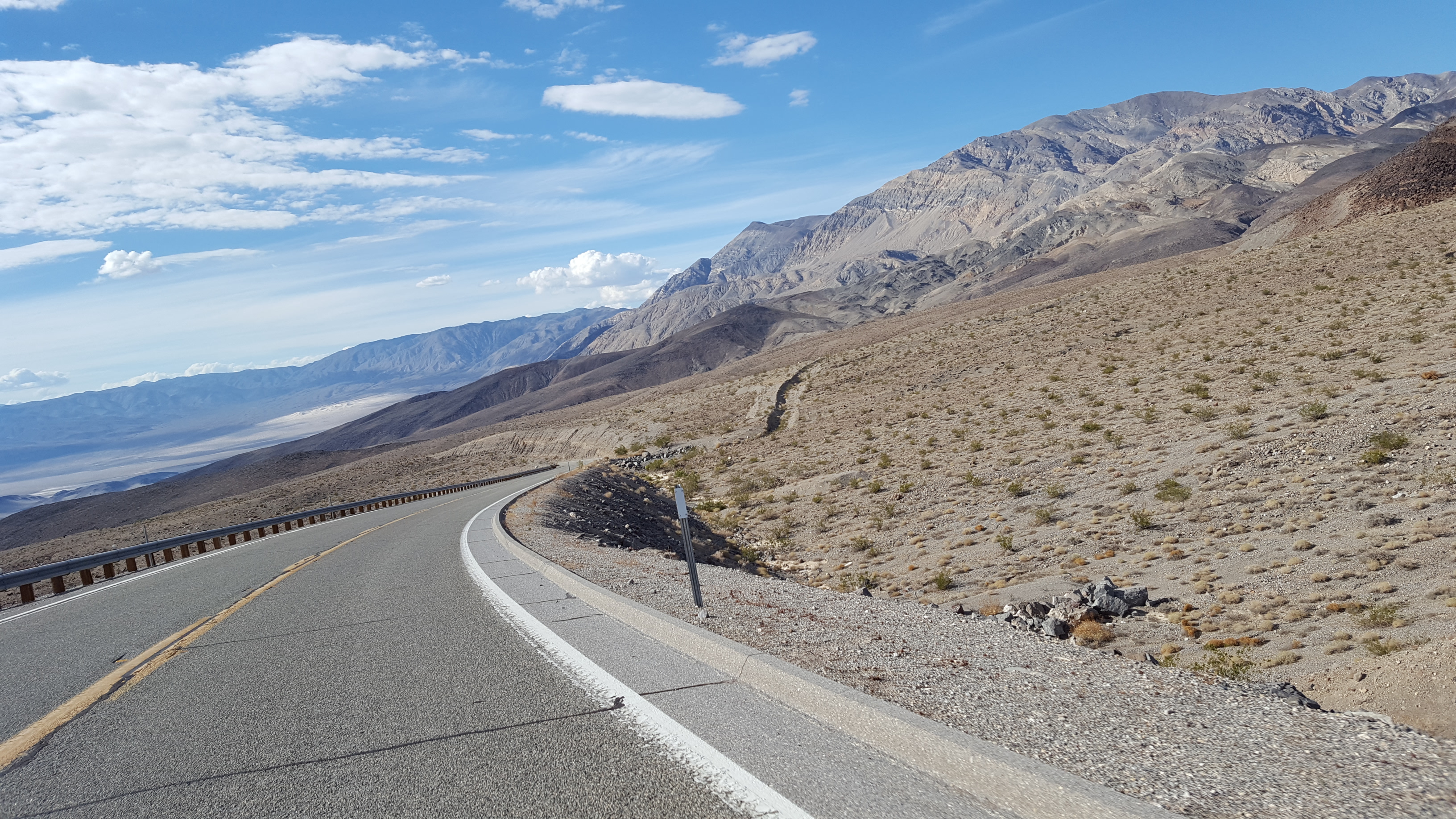
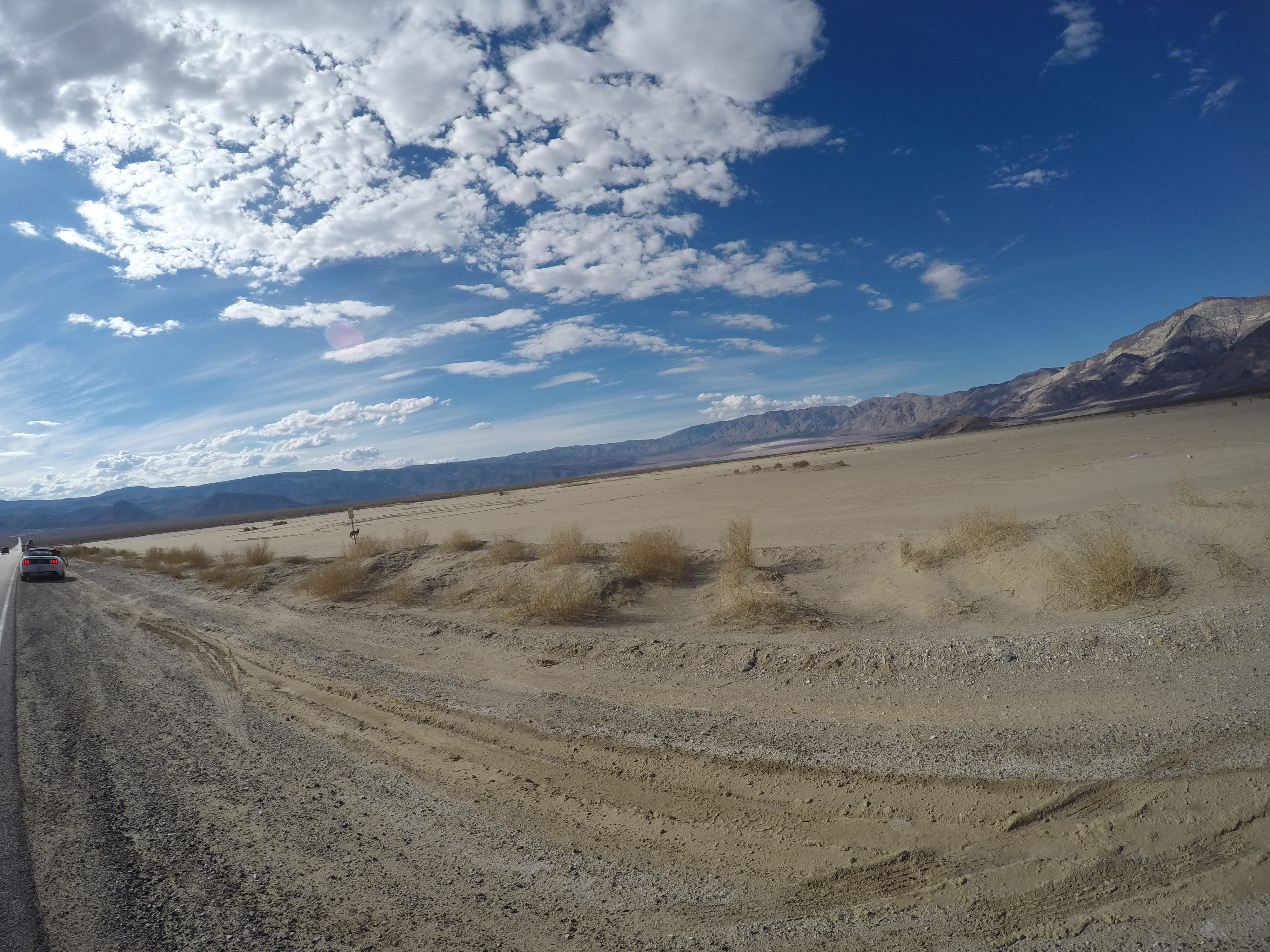
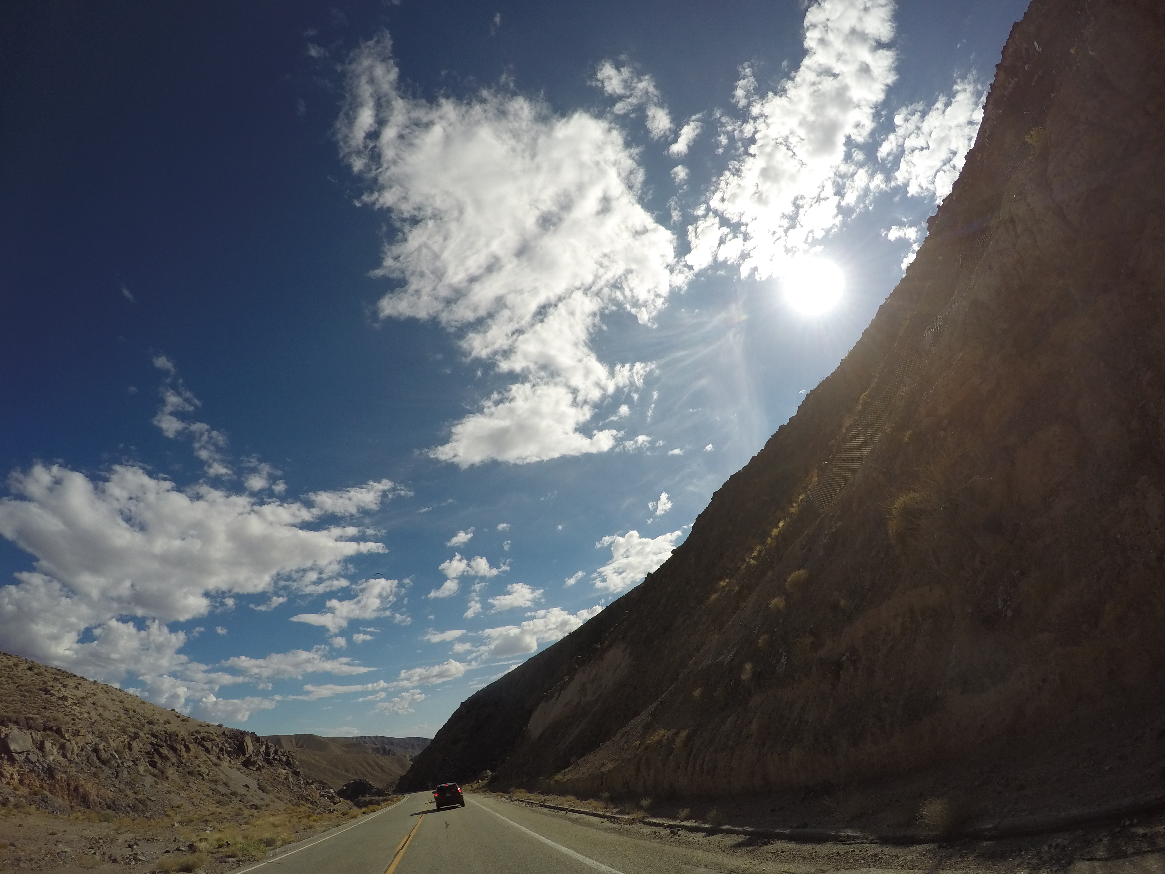
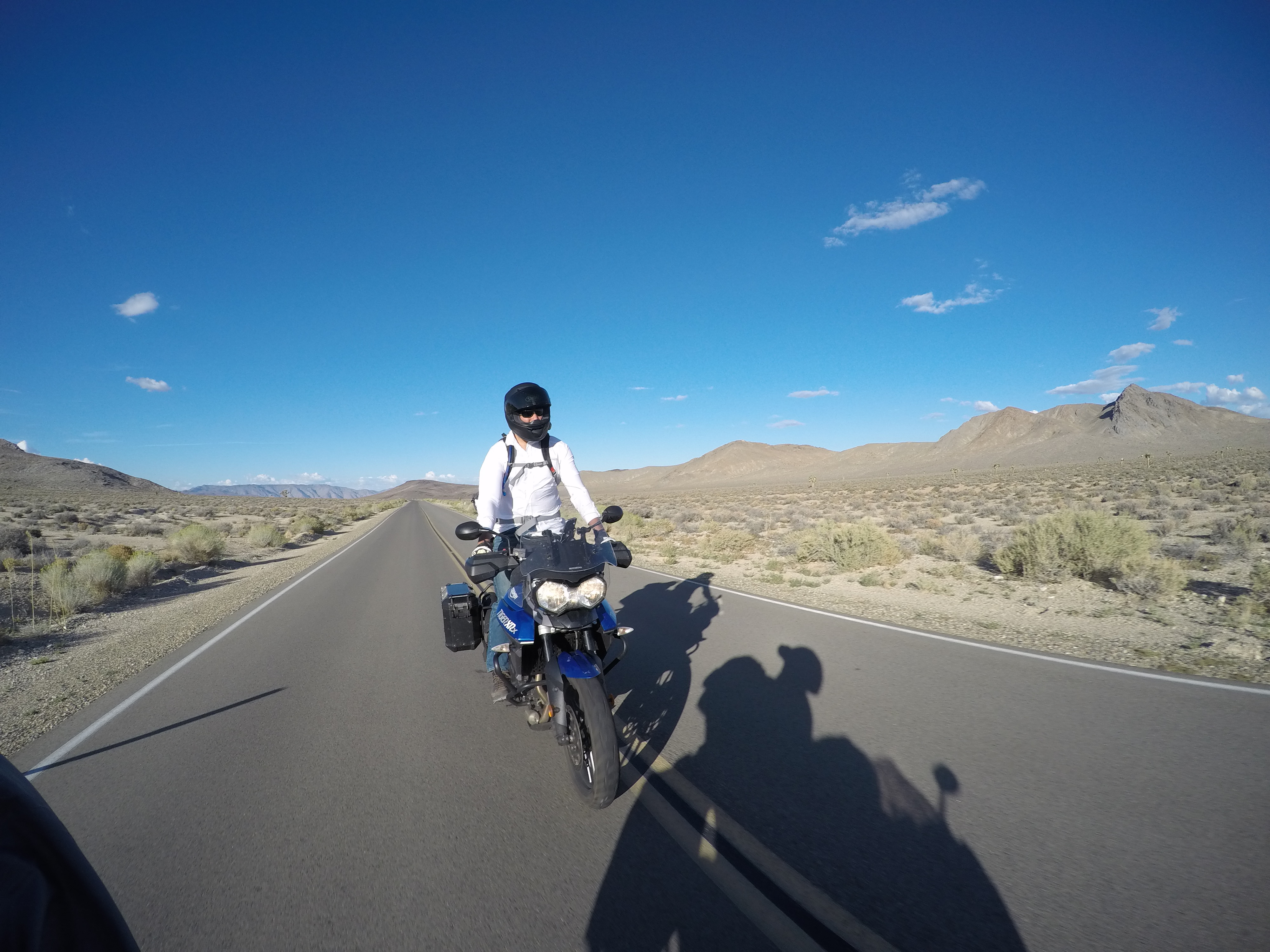
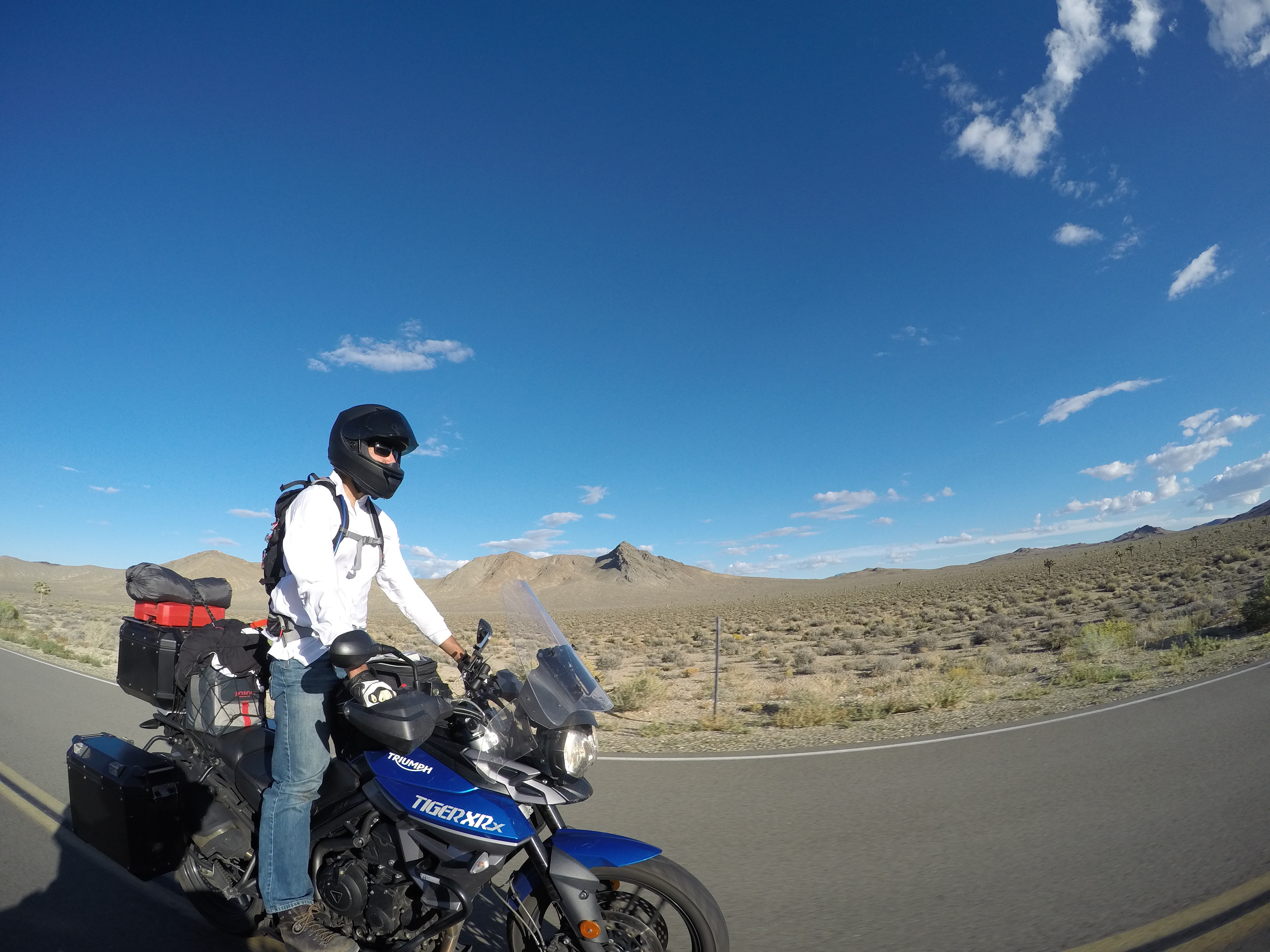
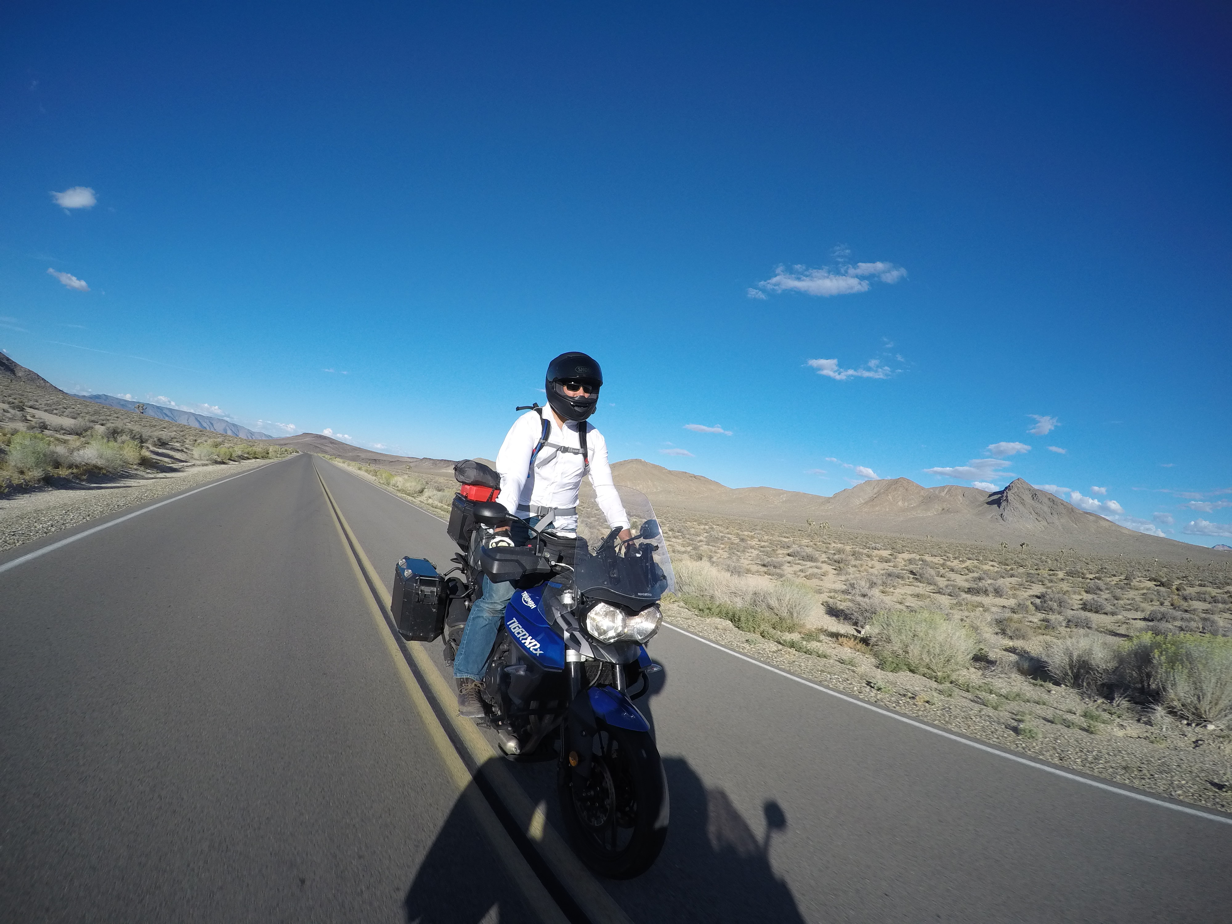
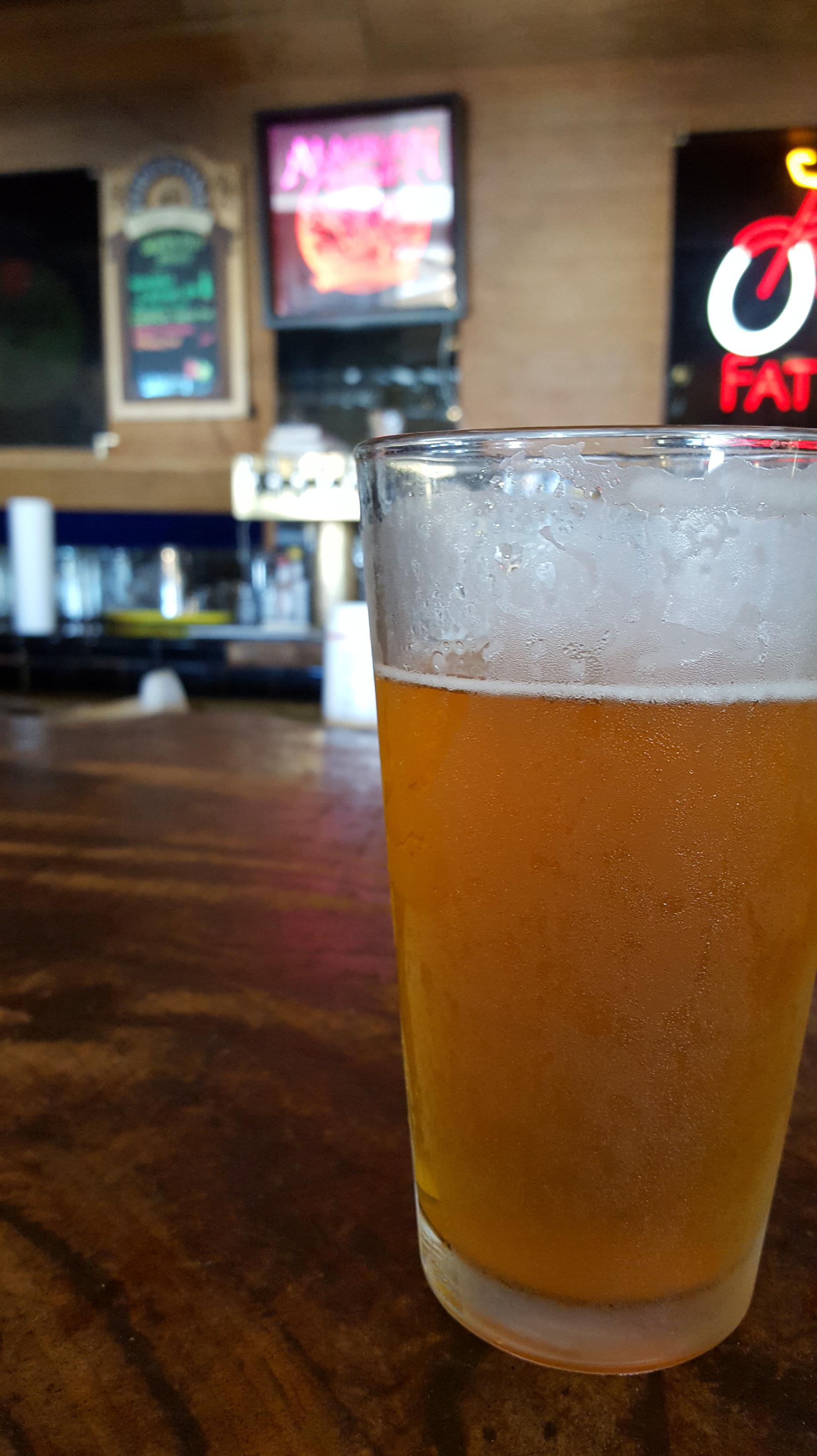
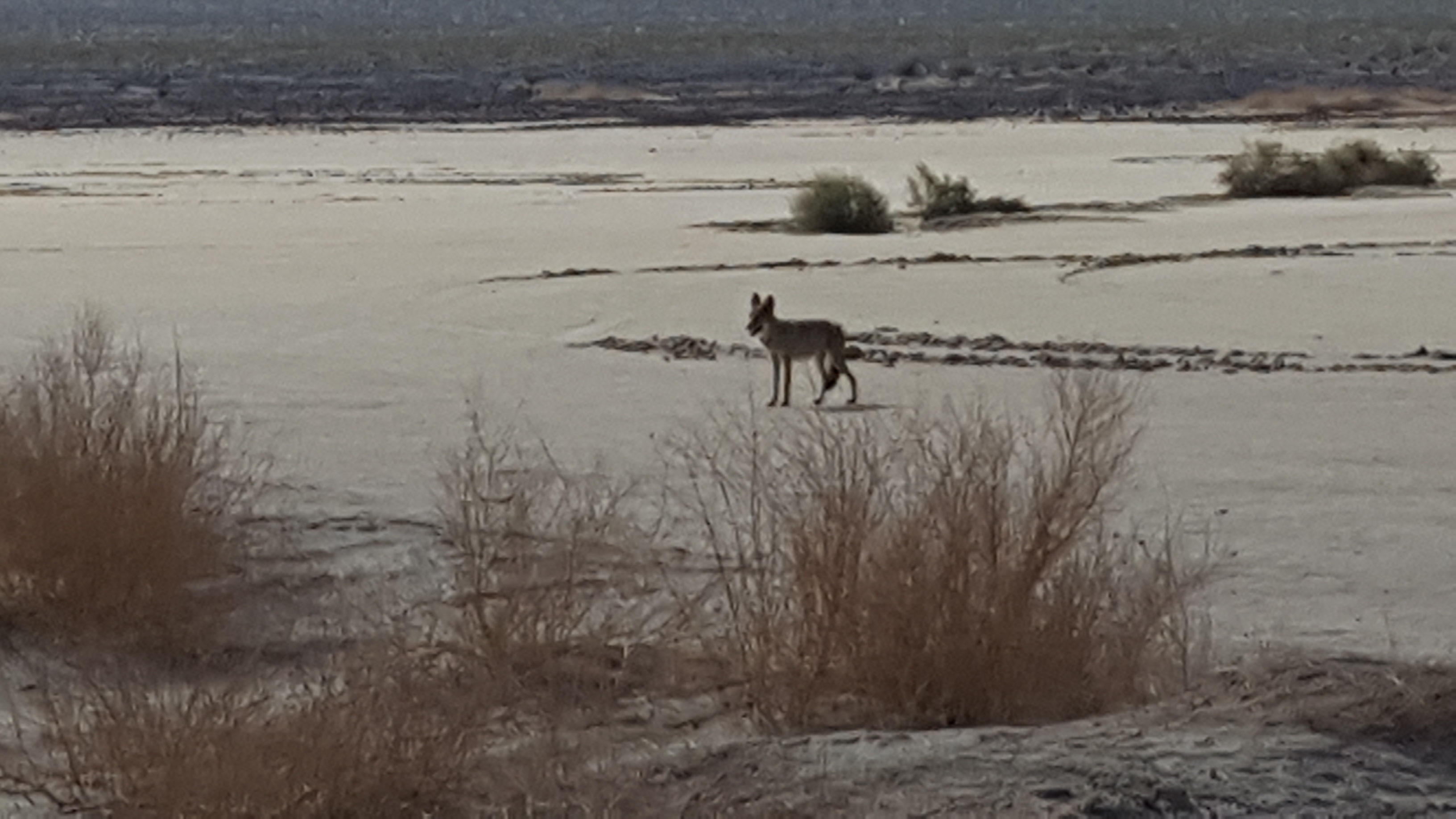
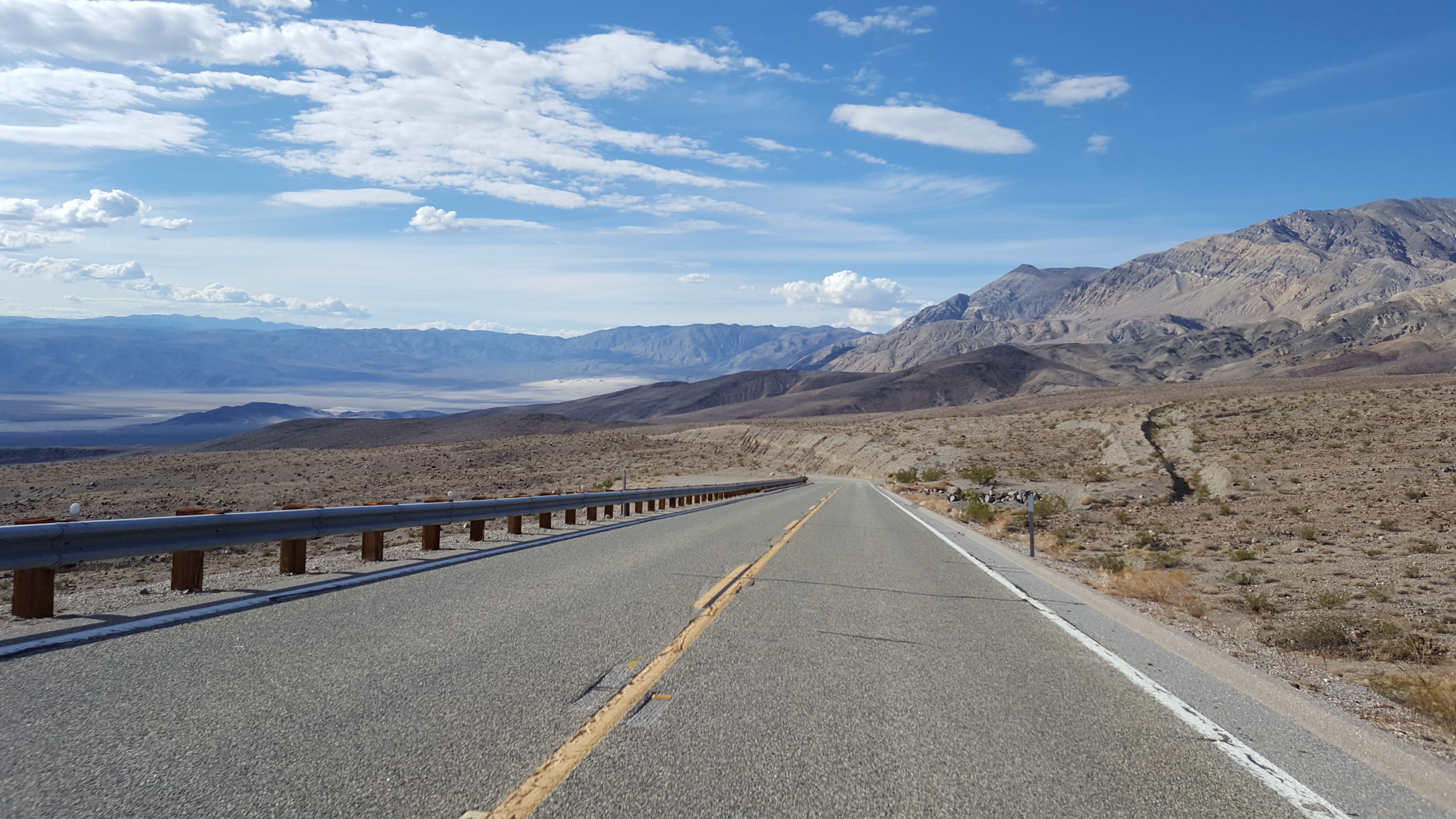
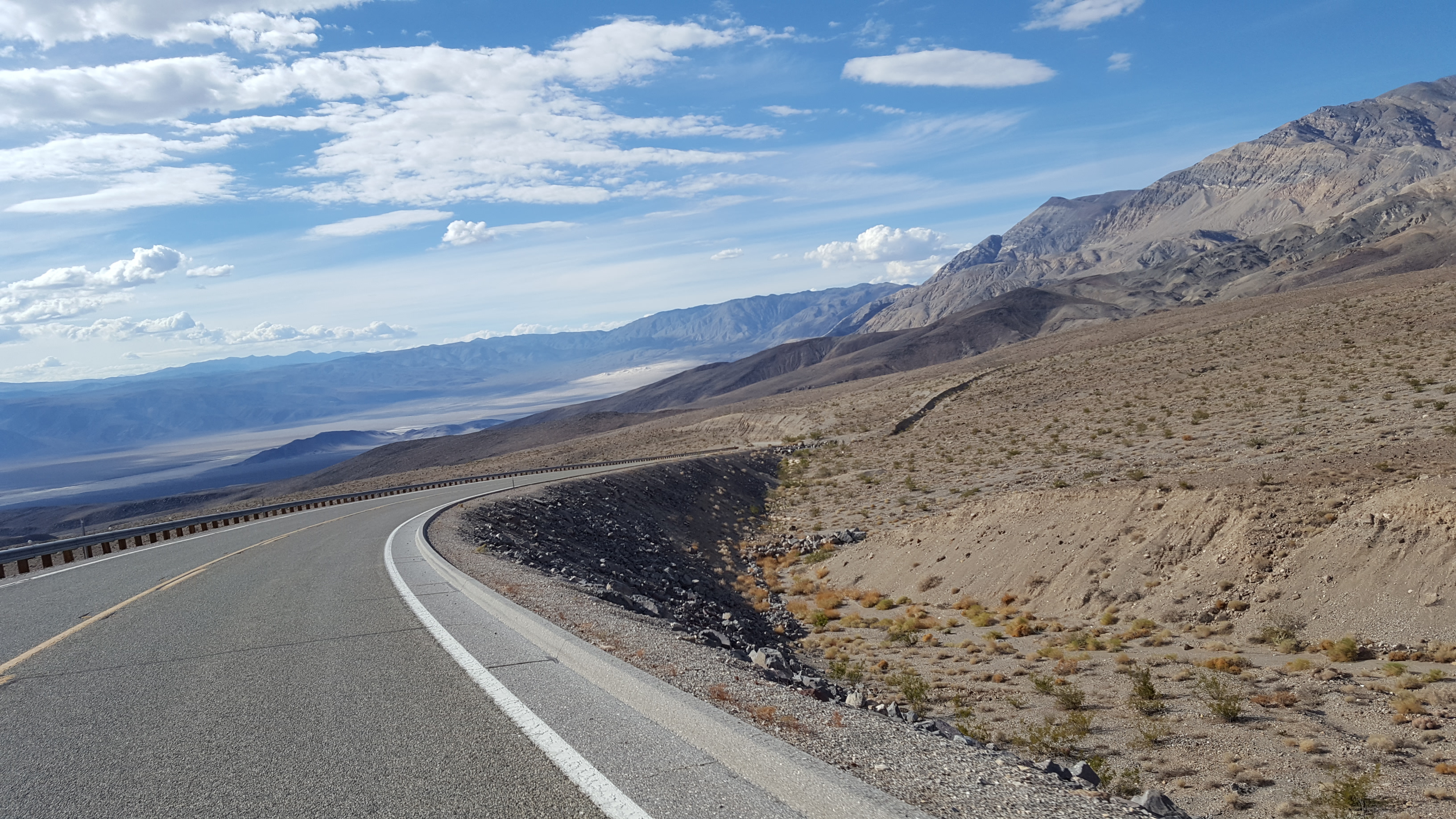
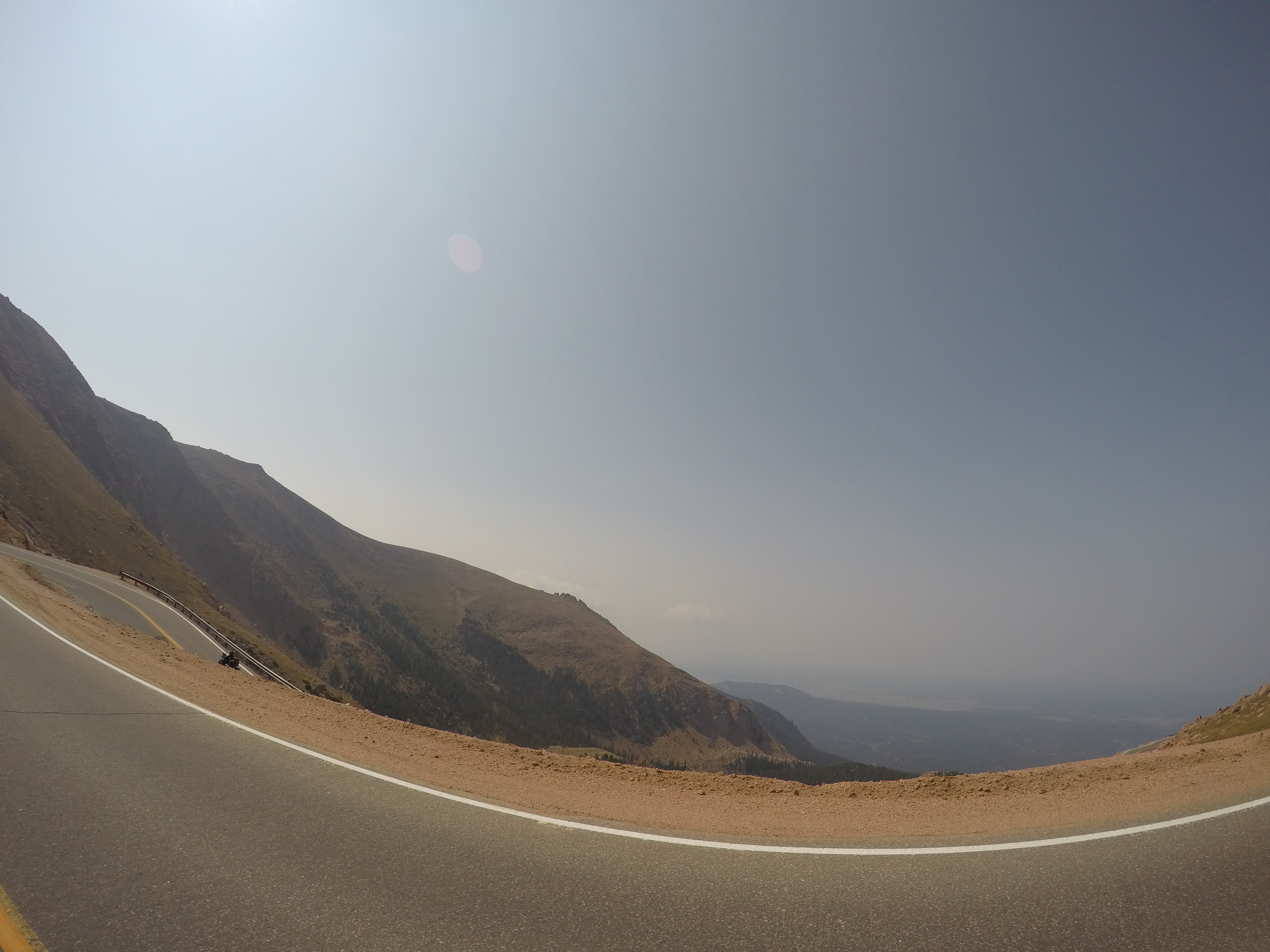
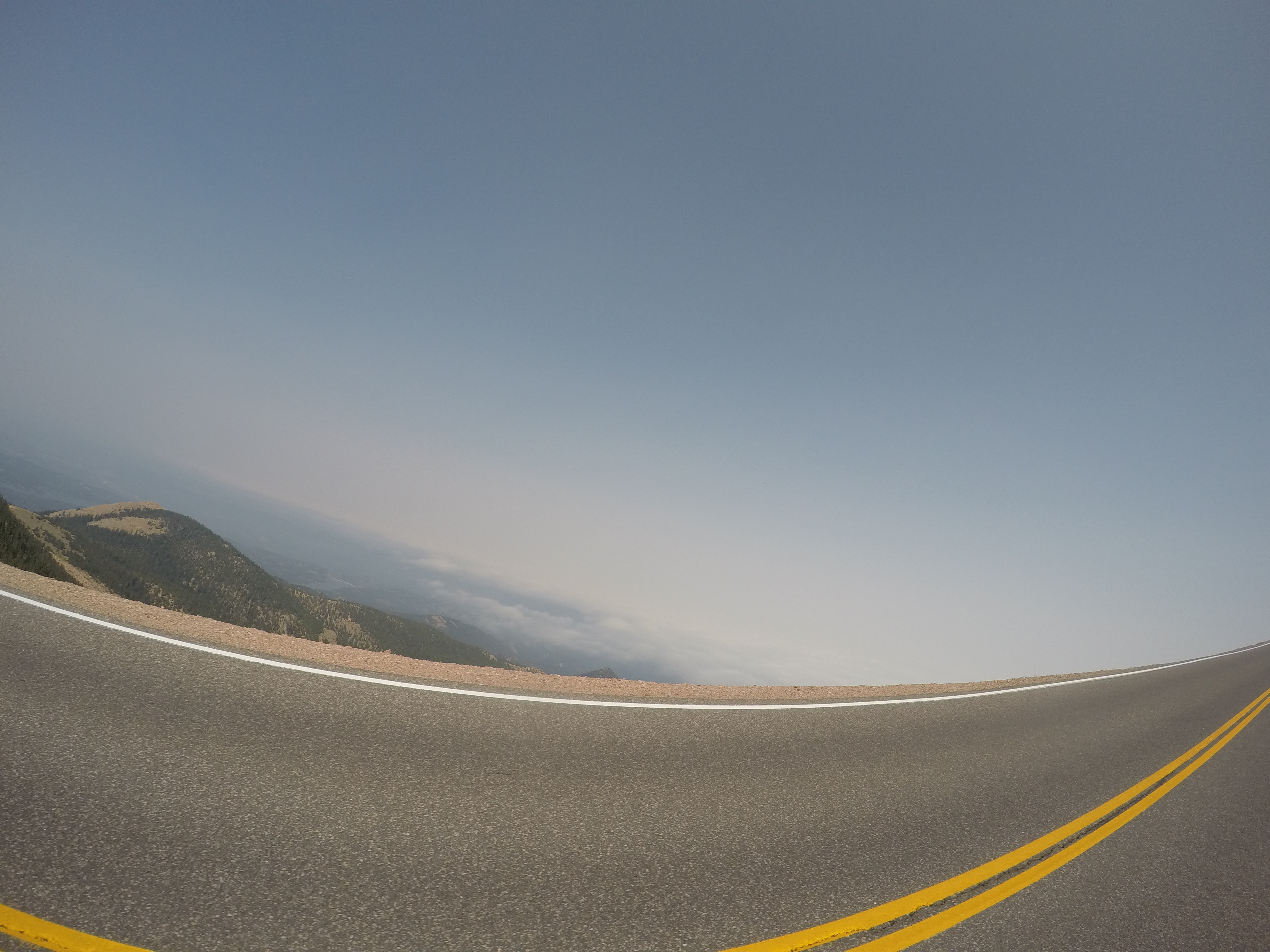
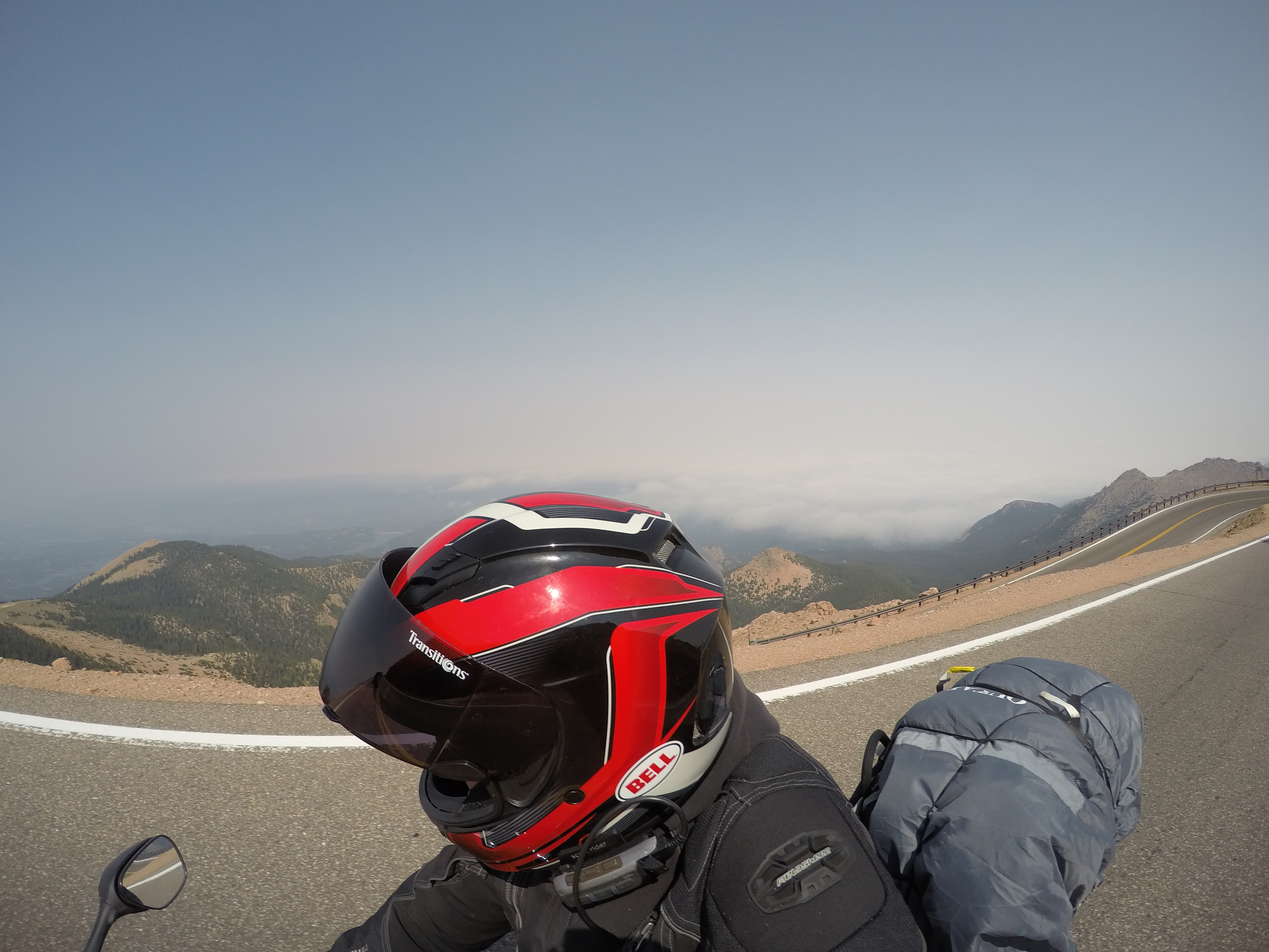
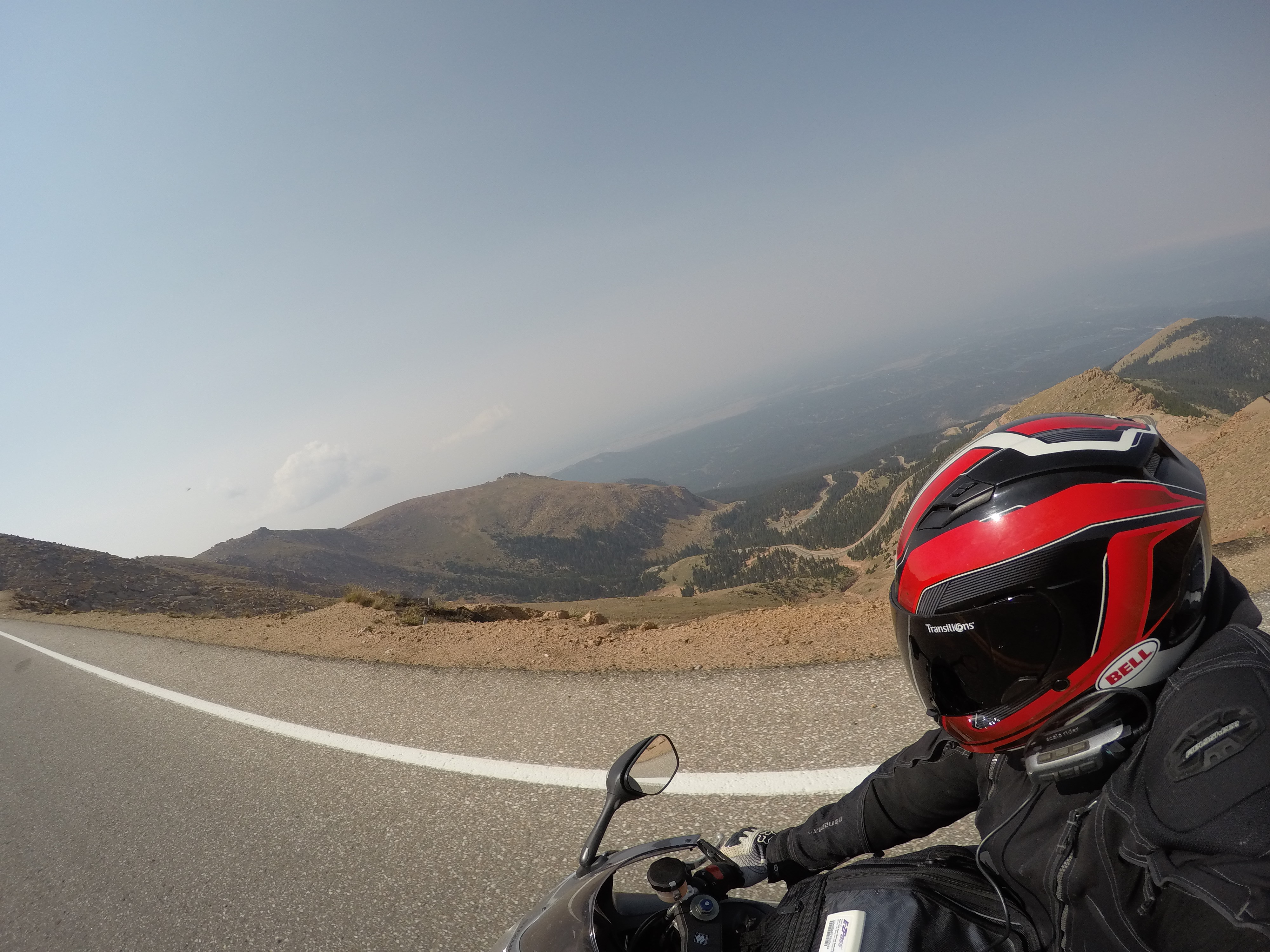
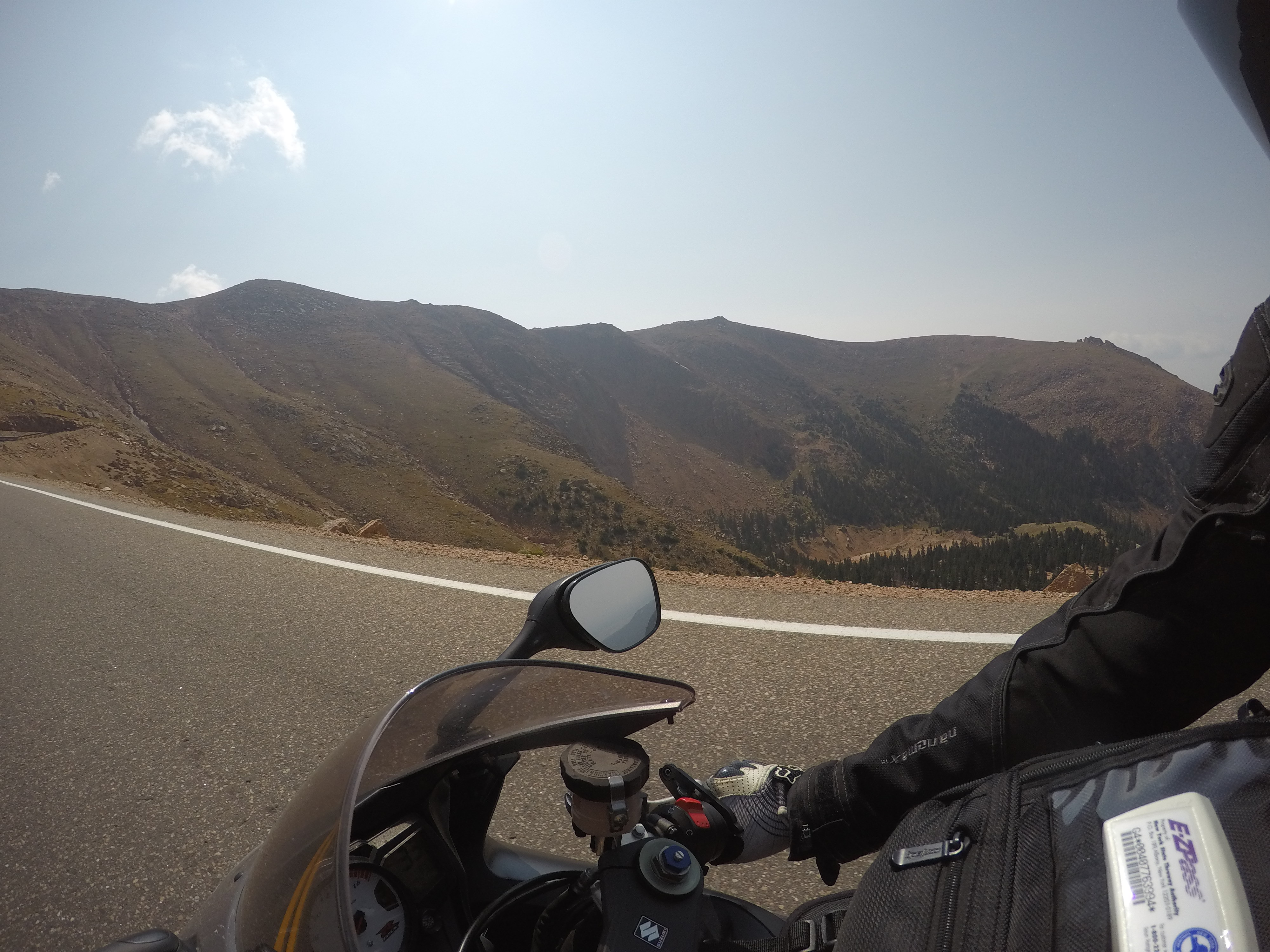
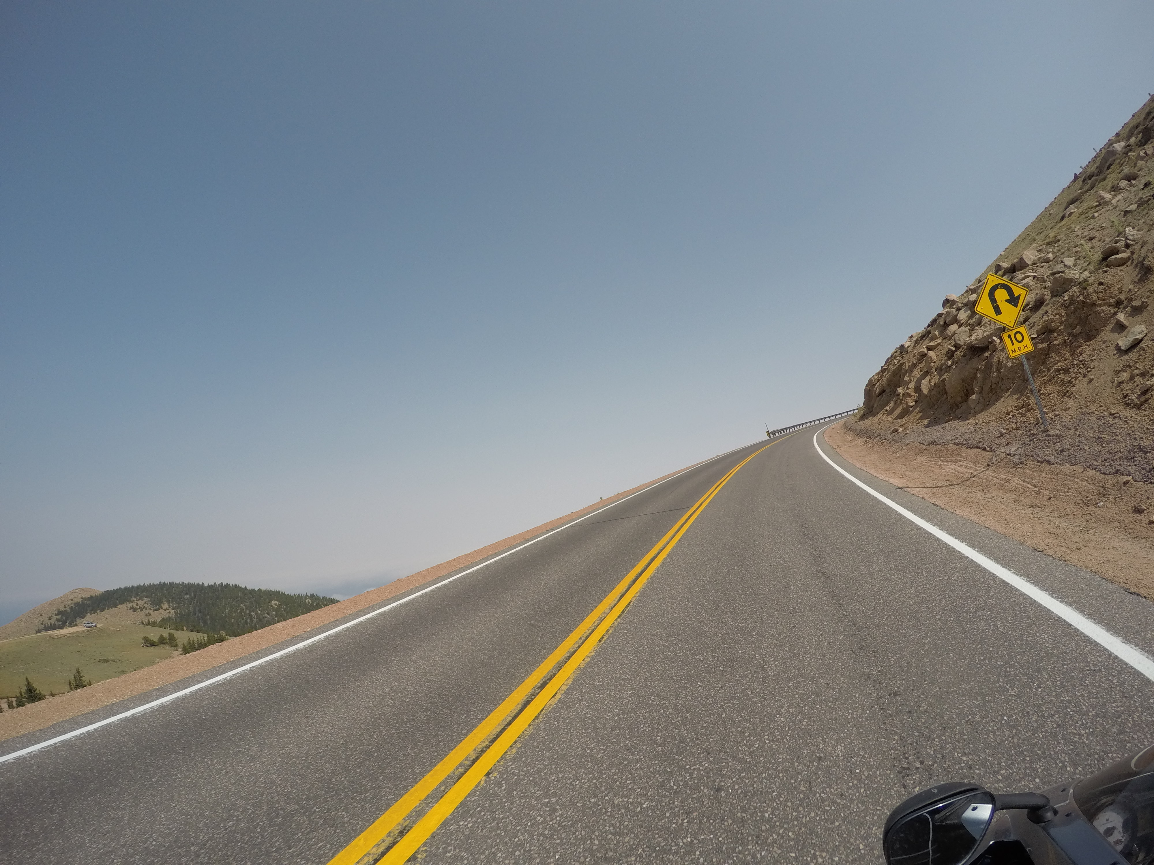
From there, we kept riding and went up and over Towne Pass.  As we climbed in elevation the temperature on Gabe’s bike went from 108F to 86F at the top.  From the top we headed down the other side and into Panamint Springs where the temperate was back up at 106F.  This was where you can really noticed the elevation change affecting the temperature.  O our way down, there were some cool views into the valley.  When we got to the bottom,  we noticed a car on the shoulder of the road.  Then we could see a grey fox hanging out.  To cool down, we headed up the road and stopped for some very refreshing ice cold beers and cool off at the Panamint Springs Resort.  We headed up the mountain from there on our way out of the park.  This was a fun stretch of road.  It was really windy and twisty which was perfect for me.  Unfortunately for Gabe, he was taking it easy to make sure the nail was not going to fall out, so he did not get the full effect.  We reached the higher elevation which was nice.  It was back in the mid 80’s at this point and comfortable.

By this time is was later in the afternoon and so we headed to Ridgecrest.  Our initial goal was to make it to Bakersfield which is further east but the heat really drained us and we were exhausted.  Gabe and I were thinking about making it to Bakersfield so that we could find a motorcycle shop to look at the tire and possibly patch it.

This was an interesting day.  I never realized how mountainous Death Valley is, it was hot, but not humid like New York or Florida, and we managed to get out unscathed by a tiny little nail.

But Pain Meter: 5.5/10


Traveling Across America: Day 12

Gabe and I started the day with breakfast next door to Marble Canyon Lodge. We then rode to and walked across the old Navajo Bridge and it was amazing. It is such a work of art. I think that the beautiful back drop with the red rocks along with its shape makes it so incredible. The bridge spans just over 800 feet and the Colorado River is more than 400 feet below! It’s so cool, especially knowing it was built in the early 1900’s. They recently (1990’s) built an almost identical one to keep up with today’s volume of drivers.

After checking out the bridge, we headed to the North Rim Grand Canyon. About 20 minutes after leaving Marble Canyon, we could see reason approaching quickly. We stopped and got into or rain gear. Good thing we did! We hit a lot of rain and then climbed in elevation and the temperature dropped about 15 degrees in just a few minutes. It continued raining and dropped to about 48 degrees. I was very chilly, and so was Gabe, but we pushed through and made it to the North Rim of the Grand Canyon. Unfortunately, it was incredibly foggy and it was hard to see the the true size of the canyon. So we got coffee to warm up. We hung around to watch some of the fog dissipate and luckily we were able to see some parts of it. I’ve never been there before so I was a little disappointed. But, the cool part was that I was able to get good pictures with the fog and the canyon. I feel most people get the same pictures on the best days, so it was different.

Then we took a ride to Point Imperial with no luck. The fog was too thick. We couldn’t see more than 20 feet. So, we headed north to leave the park and then headed west to make our way to Zion National Park before the day ended.

We got to Zion and it was gorgeous! I didn’t know much about Zion National Park, so I was shocked.  Right after we entered, we were lucky enough to see some longhorn sheep up on the mountains.  The mountains are just incredible!

DCIM101GOPROG1407918.

While riding through the park, we saw others hiking.  We decided to stop and take a hike.  We hiked up to the top of this one trail and there was a magnificent view of the valley.

After we hiked, we rode through the rest of the park and arrived at the visitor center where we decided to head to Las Vegas. Our goal was to ride through Death Valley the next day so we wanted to go through it early.  We didn’t want to get to Vegas at a late hour because we were staying at a friend of a friend’s we’ve never met. We thought that we were going to get to Vegas around 10:30 in the evening.  However, there was another time zone to cross and we completely forgot about it. That worked perfectly!   We cruised for three hours and arrived at about 9:30.

We were quite hungry when we got to Vegas, so our friend’s friend, Kim, took us to the Peppermill Fireside Lounge.  On our way, she took us through the strip. The amount of lights in Vegas is unreal.  Now I know why the Hoover Dam has to generate so much electricity haha.  We didn’t stay out or explore the strip since we didn’t want to be rude, but we were also exhausted from riding.  Overall, it was another great day to see what this country has to offer.

Butt Pain Meter: 3/10 (stopping and hiking really helps)

20170909_172451

DCIM101GOPROG1477952.
DCIM101GOPROG1217789.
DCIM101GOPROG1477953.
DCIM101GOPROG1207772.
DCIM101GOPROG1417927.

DCIM101GOPROG1347877.

DCIM101GOPROG1447939.
DCIM101GOPROG1327865.
DCIM101GOPROG1337873.
DCIM101GOPROG1277831.
DCIM101GOPROG1267817.
DCIM101GOPROG1397908.
DCIM101GOPROG1237806.
DCIM101GOPROG1407921.
DCIM101GOPROG1407920.
DCIM101GOPROG1367882.
DCIM101GOPROG1497970.
DCIM101GOPROG1347876.
DCIM101GOPROG1578088.
DCIM101GOPROG1497969.
DCIM101GOPROG1568051.
DCIM101GOPROG1517980.
DCIM101GOPROG1598140.
DCIM101GOPROG1507978.
DCIM101GOPROG1688194.
DCIM101GOPROG1618151.
DCIM101GOPROG1668181.

Traveling Across America: Day 11

We packed up our tents, packed our bikes, and hit up the diner in Moab again.  We were headed towards Antelope Canyon on routes 191 south then 160 west to 98 west.  The views were amazing!  We went through Bluff shortly after leaving Moab (100 miles) and on our right hand side there were two rock formations that stood out.  They were two rock towers, side by side, and identical.  They are known as Twin Rocks.  Unfortunately, I didn’t get a picture of them as we continued our way, but I found an image online that has a great picture of them.  We continued on and I just kept observing the landscape.  It is truly incredible!  I couldn’t stop looking at all of the red buttes and mesas.  There is nothing like it back on the east coast.

About 10-15 miles before arriving at Ken’s Tours to visit Lower Antelope Canyon, we could see the sky was dark and there was rain ahead.  Each time, we talk to each other through the SCALA headsets and try deciding if we should stop and put on the rain gear or if we should keep riding.  We were watching the cars coming the other way and seeing if they had their wipers on.  Nobody had wipers on, so we kept riding an hoping we would avoid it.  Of course we had high hopes.  We didn’t want to gear up because there is very poor ventilation in the one-piece rain suits.  Then, WHAM!  We felt rain and pulled over to quickly change.  Good thing we did!  It started to rain very hard, and the wind picked up too.  It was so windy at one point that our bikes were leaned over while riding straight.  It was pretty wild.  Luckily, this only lasted until we were about a mile away from Ken’s Tours and the sun came out.

We got to Ken’s Tours, signed up (cash only) and were assigned to our tour guide, Tevin (I think).  Gabe and I were talking with him.  I try to talk to the locals and not be so touristy.  I like to think this helps when it comes to local knowledge and ideas of what to do.  In this case, Tevin changed my camera setting to make the red rock colors pop.  He also showed Gabe and I some cool things in the canyon rather than just let us walk by.

Regardless, the canyon is absolutely amazing!  It really is unique how water and wind erosion can cause some incredible rock formation.  I took so many pictures because every turn was just beautiful.  The pictures came out awesome too.

We did Lower Antelope Canyon because it is cheaper, more easily accessible (no shuttle), and less touristy.  Upper Antelope Canyon is close to $100.  This is more known for photographers because at the right time of day, and I think even during the right time of year, there are light beams.  The main formation difference between the two canyons is the shape.  Lower Antelope Canyon is wide at the top and narrows towards the bottom while Upper Antelope Canyon is the opposite. You need a shuttle to get to Upper Antelope Canyon.  Whether it is Upper or Lower Antelope Canyon, you will need a tour guide because you are on private Navajo land.

After we finished we wanted to go to Horseshoe Bend, but we grabbed a bite to eat at Dam Bar and Grill in Page.  Tevin suggested going to Horseshoe Bend when the sun was setting.  He said it makes it much a better time to go.  We listened to him and good thing we did.  The view of the Colorado River in the sunset was amazing! We took some pictures and headed out to Marble Canyon Lodge for the night.

We finished the day with roughly 310 miles.  It was another great day.  I still cannot get over the rock formations from Moab all the way to Marble Canyon.  It was absolutely gorgeous!

Butt Pain Meter: 2/10 (Stopping often and to walk around helps a lot)

Traveling Across America: Day 10

We went to Arches National Park after camping for the night. What an amazing experience! 

Before going to the park, we went to the visitor center to find out which places we should see. They were very helpful and gave us many suggestions. So we took off to the park. 

Upon entering the park, there’s a giant red rock wall. We drove through the park and there were so many beautiful features. There were some rocks that appeared to be balancing on the rock below. 


We were headed to Delicate Arch. Delicate Arch is one of the main attractions. It is a nice three mile hike round trip. We made sure to go there first before it got too hot. Before we got to the main arch, we came to a much smaller one and were amazed at first. So we walked up to it, and from there you could see Delicate Arch. It was fascinating! 

We walked up to Delicate Arch and it was enormous! It’s hard to believe something like this exists in nature due to wind and water erosion. This arch stands at about 64 feet tall and 45 feet wide. It doesn’t look that big in pictures until you see someone standing under it. 

From Delicate Arch, we hiked back and went to another arch called Landscape Arch. This arch, too, was incredible. This arch is very thin in comparison and over 300 feet wide. In 1991 a giant piece of rock broke and fell, making the right side even thinner. 

There were more arches that we saw while riding by, but we stopped at Skyline Arch since it was a very short hike and we were hungry. It looked so small from the road, but when we got right up to it, it was massive. This one was cool too. There were giant boulders below the arch from when the boulders fell out, forming the arch.

I thought this was the best scenery I’ve ever seen. It’s so different than anything I’ve ever seen. I was truly in awe the entire time. I highly suggest making a visit here if you ever have a chance!
Butt Pain Meter: 6/10. Hurt to get up off the bike

Traveling Across America: Day 9

We headed out of Colorado Springs and took route 24 west. We were working our way to Moab. While on or way, we came across a massive valley on top of the mountains and saw some antelope which was neat. I believe it was 48 degrees when we left and also when going through this elevated valley northwest of Buena Vista. 

From there we went up route 82 over the Independent Bypass. The roadway was very similar to Pikes Peak. It was truly amazing. The views were beautiful and the drops were steep. You could see down to the bottom into a luscious green valley on both sides of this pass.

Without realizing it, the other side of route 82 dumped us out into Aspen. Aspen was very busy. I thought it was just a ski village, but I guess I was wrong. The cool part, however, was that there was a corner with a bunch of people taking photos. I thought there may be some type of monument or historical thing. We pulled into a gas station to fill up before continuing. We overheard someone say there was a bear with two cubs in an apple tree eating apples. We looked over and there they were! You could see the limbs bent and a brown blob. Then they ran down, jumped over a short raught iron fence, and up a pine tree. It was really interesting to watch.

We then booked it to Utah for a while and instead of taking I-70 all the way, we got off onto route 128. We were told it parallels the Colorado River, so we gave it a whirl. At first it was flat and boring, but we were heading closer to the beautiful red rocks. Sure enough, we got to the river and, wow! The views were absolutely amazing! I don’t think I’ve ever seen anything so incredibly surreal.

We were so intrigued with the beautiful red rocks right along the river, we had the GoPro’s out getting pictures of each other and trying to record what we were seeing. We were like kids seeing something awesome for the first time. 

We followed route 128 until we got onto route 193 and headed into Moab. We found a campground, set up camp, and went for dinner. We were eager to start the next day and check out Arches National Park! 

Traveling Across America: Day 8

After camping overnight at Rocky Mountain National Park, we were heading towards Pikes Peak. We left and it was in the high 40’s and foggy. It was very chilly, but we pushed through anyway.

We were speaking with someone two nights prior and he suggested riding the Peak to Peak highway which is a scenic bypass. This road brought us through the mountains and there were all kinds of long sweeping turns. It was very beautiful.

We kept working our way south on route 7 and then route 72 into Black Hawk. We were still really chilly so we stopped for coffee to warm up. It worked well as the fog lifted and the sun began to show. Now we were heading through route 119 which brings you through some jagged maintains. That is always cool.  You could even see some people rock climbing the faces at some of the pulloffs.

We continued and took route 6 to route 40 to route 74 to route 285 to route 126 to route 67 to route 24. It was a lot of state routes heading south and avoiding highways. I had to list all the routes so I don’t forget how I made it from Rocky Mountain National Park to Pikes Peak. Going through the mountains is so awesome because there’s always a turn and goods views.

While coming through a town called Pines and into Buffalo Creek, there were a bunch of pine trees that were fallen. I’m not sure why, but it they were all down. It was very different. Most of the mountains are covered in healthy pine trees, so this was odd.

From there we continued more to Pikes Peak. Pikes Peak was phenomenal! Gabe and I couldn’t get over the views, the very tight switchbacks, and the incredible steep drop offs on the side of the road. It was definitely an experience people should try.

Once we reached the top, we were in awe. We were over 14,000 feet. The views were astonishing! There were some really steep sides. We checked out a bunch of places and really enjoyed it. 

From there, we headed to Colorado Springs to stay for the night. We went out to eat at a pave called the Rabbit Hole which was neat. It had good reviews from Google. As we were walking up to find the entrance, it wasn’t a typical for entrance. It was like entering a New York City Subway from the sidewalk. We walked downstairs and that’s where the restaurant was.

Butt Pain Meter : 3/10

Traveling Across America: Day 7

We left my friend’s house and we were on our way to Rocky Mountain National Park. On the way, we took route 34 through some of the mountains. I thought it was cool because Gabe has never been to Colorado before so it was all new to him.

We got to Rocky Mountain National Park at the Estes Park side and headed towards Alpine Visitor Center. We hiked up the mountain a little ways and hit the summit at 12,005 feet. I felt the effects of altitude sickness. I was short of breath hiking up to the top. Gabe and I took some pictures with the sign and headed down the trail back to the visitor center. We spoke with one of the park employees and asked where we may be able to see some moose. She suggested go to Colorado River Trail Head. There are usually reports of moose on the west side of the park near Granby. She told us we can even hike to near where the Colorado River begins.

We went west and followed the seasonal Trail Ridge Road until we find the trail head. We hiked the trail then got off and walked along the Colorado River where it’s only 10 feet wide. We were hoping to come across a moose. We had no luck, but we saw hoof prints. After a while we turned back to explore the rest of the park. About halfway back, Gabe notices something off the trail through the trees. It’s a moose! We stood still and she walked up towards us, acknowledged us, and she kept grazing. We took some pictures of her. It was amazing! She wad only 20-25ft away from us. When they’re that close, you really get to realize just how big they are.

We left her alone and went back towards the east end of the park. I thought Gabe should see Bear Lake because it’s a very nice looking lake. We were also hoping to see some elk.  Well, we came to Moraine Park where there is an enormous meadow. We were told the elk usually like to hang out there in the rut. As we pulled in, we could see a bunch of people off to the shoulder. Just ahead in the meadow were a bunch of elk. The immediate herd consisted of a bull and 13 or So cows. We stopped a while and watched them. As we were watching, another herd with a bull and four or five cows were getting close. Everyone thought there was going to be an intense sparring match. That didn’t happen. But we did get to see the bigger bull steal all of the smaller bull’s cows.

Once we realized there was not going to be a sparring match, we went to Bear Lake quick to check it out. We were in a rush to find an open camp site so we could camp. Luckily there were a few campsites open and we were able to camp at the park. It was a good ending to another fantastic day on this adventure. If you’ve never been to the park or even Colorado, you really should see it. The mountains are enormous and  the pictures don’t do justice. 

Traveling Across America: Day 6

We left Hays and were on our way to Lafeyette, Colorado to stay stay at my friend’s place for the night before hitting up Rocky Mountain National Park. Before leaving, we had breakfast at the Golden Griddle. We rode about 120 miles and stopped for gas. After getting gas, I saw Dierks Bentley’s stage crew truck. I thought that was cool to see knowing he’s performing a tour.

We rode through vast amounts of farmland consisting mainly of corn, milo, and sunflowers. These fields were endless. It was like looking at the ocean where you can’t see any farther. The fields just seem to disappear in the distance. The farms back home are nowhere near as vast.

After riding endlessly through farm fields, we would come to these very small towns. There would be some houses and buildings, but very few. Some of these towns had 5 or 6 buildings. Then nothing but fields for anither 20 to 30 miles. We did this several times and then my gas light came on. I can roughly do 45 miles once it comes on, but Gabe said that I-70 was another 54 miles after I already did 30 miles with my light on. Gabe’s gas light also came on.  I got very nervous as I thought we were going to run out of gas.  We both brought gas with us. I have a half gallon and he has one gallon. So, we started to calculate how to split the gas so we can get to I-70.  His bike had estimated 37 miles until he was done and my bike would ideally need almost two gallons of gas. At last, we came through a town with found a gas station. Best part, it was closed. Now I really started worrying. It was 95 in the sun with no shade around. Just as we were about to use our own gasoline, I noticed this special box with “credit cards accepted” on it.  Realized there was an atm machine to dispenser gas. Didnt know how it worked at first. I selected $10 to use. Tried to fill up, and lost $10. Nothing came out. At this point I was thinking I ran out of luck. Well, I figured I would try one more time. This time, it worked and I gave Gabe a high- five with excitement know I had a full tank of gas and we would make it to I-70 without any issues.

We hopped onto I-70 and made our way to Lafayette, Colorado to stay at my friend’s house. He wasn’t home, but it was good to see his dog. I haven’t seen her in a while and she listens so well. We waited for my friend’s father to get back and then we took Bailey for a walk and saw a bunch of prarie dogs too. It’s amazing how many will occupy a field. Then we all went to dinner at a local brewery called The Post for dinner and drinks and called it a day since Rocky Mountain National Park was next up!

Traveling Across America: Day 5

We left Clinton and headed north west up route 13 then to route 7. We hopped onto I-49 north making our way towards Kansas City. As we got closer to the city limits, I darted through some cars to get a picture of the Kansas sign. I even saw a pretty cool looking truck. It was older and a little rustic looking, just pretty cool. 

From the city limits, we headed west out on I-435 west. We did about 100 miles since leaving Clinton before stopping for a snack break and gas. A lot of places only have a high of 91 octane out west it seems. Our motorcycles suggest 93 octane, so we have to settle for 91. Acter filling up, Gabe was hungry so we tried to go to a place called The Roost in Lawrence, KS. It was a nice looking town and all of the cafe’s were packed. The Roost had a 45 minute wait. So, we found an espresso shop, had espressos and bagels then continued onward. It was actually a really nice town. Gabe and I were even talking about going back there in the future.

We left Lawrence and headed to a small town where Stanley, a really good friend of both of ours, grew up. It’s a little town called Rossville. We stopped there to check it out and even find his house.  It was a really neat experience. We did a live video chat to show him his old hose, the sugar maple he planted 40 plus years ago, and main street today. His sugar maple is now a large tree. He was telling us what he used to do as a child there.

From Rossville, we rode west on 24 and came through Manhattan. This is where Kansas State University is located. We didn’t stop but it looked quite busy. We wanted to make more ground so or trip to Boulder would be shorter on Day 6.

By this time of day, it was in the high 80’s, so we decided to stop for water in Clay. It was really awesome actually. We pulled off to the shoulder of the road and hung out drinking or water from our Nalgene bottles. Luckily, Gabe was able to pack a cooler on his bike so we can keep cold drinks. We were parked for a short while hydrating and taking pictures of the bikes. It really felt as if we were in the middle of nowhere. It was peaceful.

From there, we went a few miles up the road and stopped for gas and cool down. We stopped at the Casey’s General Store in Beloit and talked with an elderly couple for half hour. It was really neat. We found that almost everyone that lives in the area farms or works for a farmer. There really is nothing else around. They also told us that every mile is a road off the main road, creating a legit square mile. In this square mile, there is roughly 640 acres that farmers manage. I asked a question about gathering cattle. If they have cattle, the cattle to round up can be up to 15 miles away from the main farm. That is crazy!

We finished our conversation and they wished us luck on our journey. We continued further and entered what appeared to be an old empty village. At the end of this village we saw “World’s Largest Ball of Yarn” so we decided to go back while talking through the SCALA headset. We turned around to check it out.  Gabe turned around before me and stopped next to this attraction. As I approached he wanted to park on the adjacent side, and then things got serious. Gabe’s motorcycle wouldn’t start. There was nothing. I thought he was joking around or the kick stand was down. Well, he wasn’t joking and the kick stand was up. It was not a good feeling. This little village seemed empty. So there wouldnt have been any help. I resorted to Google for help. We tried see several things, but all failed. We decided to take a look at some fuses. We pulled the starter fuse and it appeared fine. We put it back in, and voila! We heard The fuel pump kick on and knew it was going to work. The bike started. We don’t know what the issue was but it worked. What a relief! Luckily we had our camping stuff just in case. We’re still wondering what it was. It’s possible it was just a loose connection somehwere.

Our goal was to make it to Hays. Hays a busy little city and it was another. So, once his bike started, off we went. We arrived in Hays, found ourselves a hotel and grabbed dinner at Gella’s Diner & Lb. Brewing Co. It was a nice place and the food was delicious. We needed a good dinner after riding 425 miles and a stressful few minutes when Gabe’s bike wouldn’t start. 


Butt Pain Meter: 2/10

Traveling Across America: Day 4

Left Charleston, MO. The weather was crappy. Looked like it could rain, but luckily it held off. We stopped to fill up right outside the Super 8. Then we circled through Cairo, IL to see how run down it is. We were told it was something to check out. It is crazy to think what used to be there and what is left abandoned today. I take things like that for granted being from New York, where everything seems to be prospering.

From Cairo, we went back towards where we started and headed north. We hit route 60 which was long, flat, straight, and consisted of very strong cross winds. The winds were so strong that Gabe had to fight to keep his bike going straight. We followed this route until we reached Poplar Bluff. Then we took route 160 into Doniphan, MO and entered Mark Twain National Forest. This road was very twisty with some hills. It was awesome. There was nobody else on the road. It was complete freedom and lasted quite a while. This was a fantastic change of pace after taking mainly highways from home in New York all the way to Nashville. I think it’s one of the best roadways I’ve ever been on. Back home there are similar roads, but there was no traffic and they lasted what seemed like forever.

Just when we thought we were done and there weren’t going to be many more nice roads ahead, we came to Ava on route 14. These roads were awesome as well. Route 14 is really windy and curvy with more beautiful country side. We saw all kinds of cattle and roaming horses in these beautiful endless field’s. I tried to get a picture of a donkey right along the road but the GoPro I have didn’t capture it. I prefer taking pictures every two seconds. I like to think it takes many pictures without overdoing it. Somewhere along route 14 we went over a bridge with gorgeous blue/green water. It’s a river called 11 Point River. I will have to check that out online.

Anyways, we continued further on route 14 until we reached route 125. At route 125, we headed north to Springfield. The landscape, again, was so beautiful to look at while riding. From Springfield, we headed north up route 13 until we reached Clinton, which us just north of Truman Lake. This was a mainly straight highway. The idea was to gain an extra 100 miles before finishing for the day.

We actually saw a bunch of roadkill too while traveling through Missouri.  However, it was not the typical roadkill like in the northeast. Most of these were armadillos. I had pointed it out to Gabe knowing he’s never seen one.

We finished the evening at Mallard’s Steakhouse. The ambiance and interior were similar to that of a nice log cabin. It was a great way to finish Day 4. We did 420 miles on the day.

Butt Pain Meter: 3/10 (only when getting off the motorcycle, but my knees were sore from being bent in the crotch rocket position)